What the Official Pictures Show
The (otherwise excellent) maps, as well
as the official web site,
show plenty of pictures, which generally have one thing in common: relaxed
riders standing or casually riding on wide and flat roads. Most of them
don't even carry any camping gear and are obviously day riders.
One would be excused thinking that the track is pretty boring
Nothing could be further from the truth—but the PR
“experts” in charge of the project probably never sat on a
bike since the age of 16.
The Reality
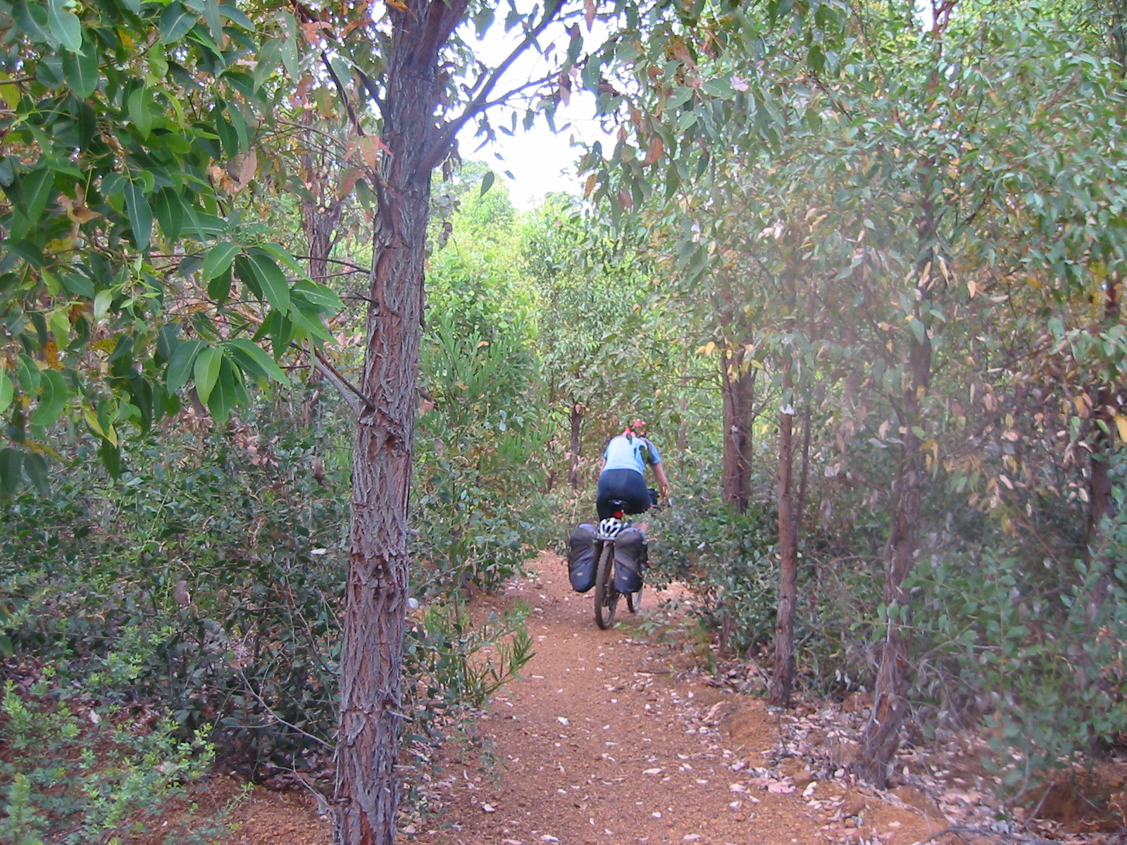
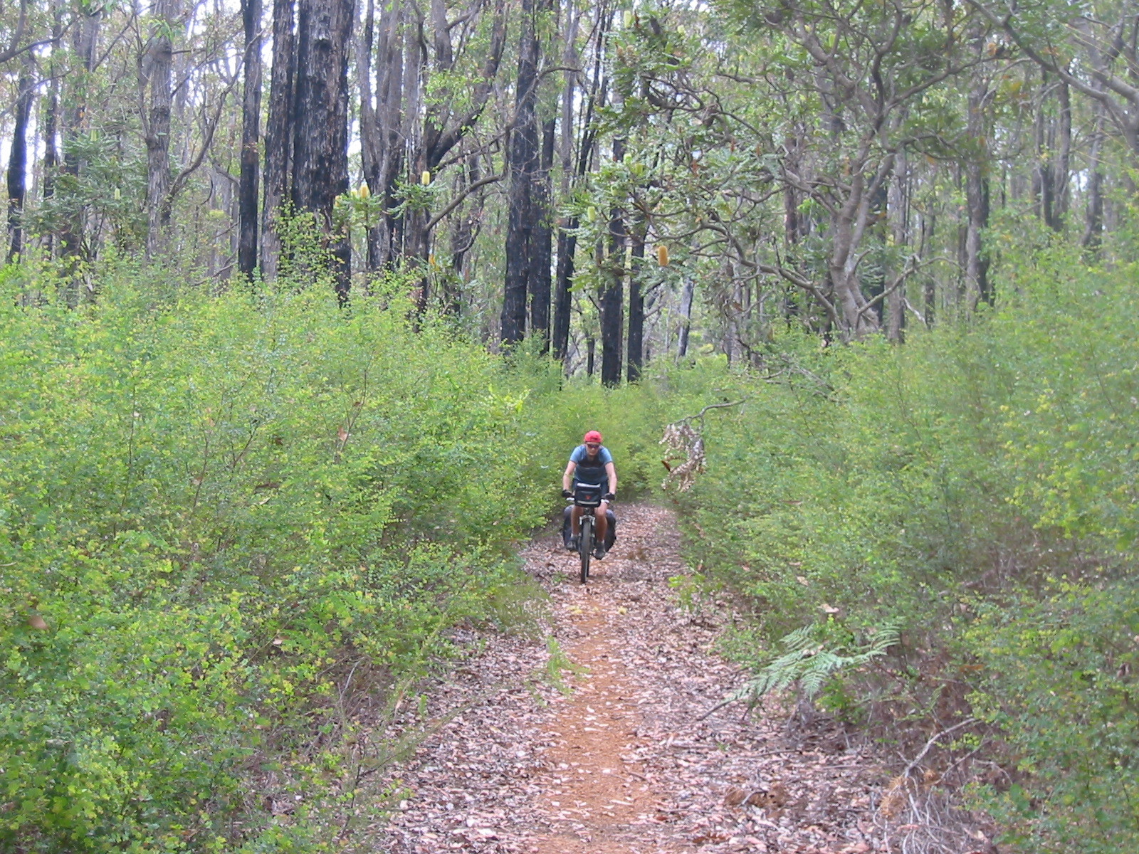
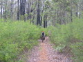
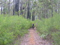
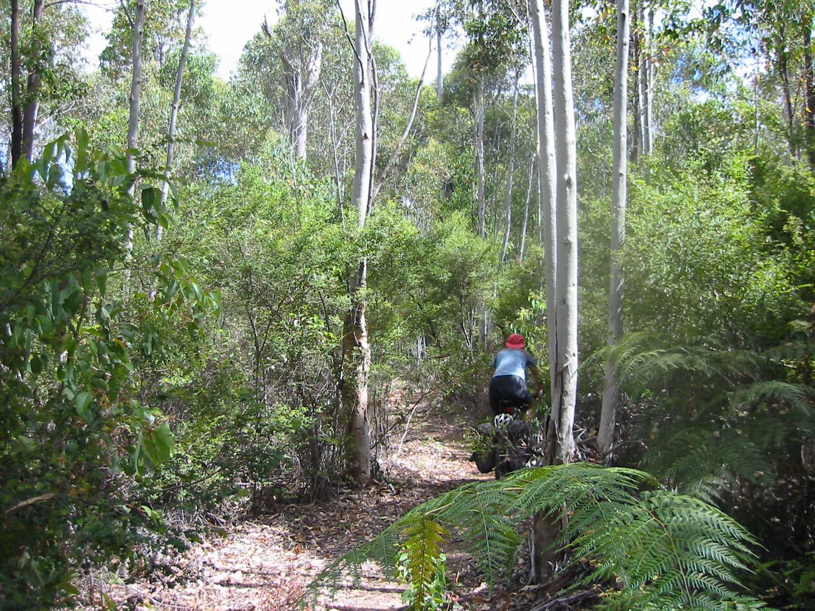
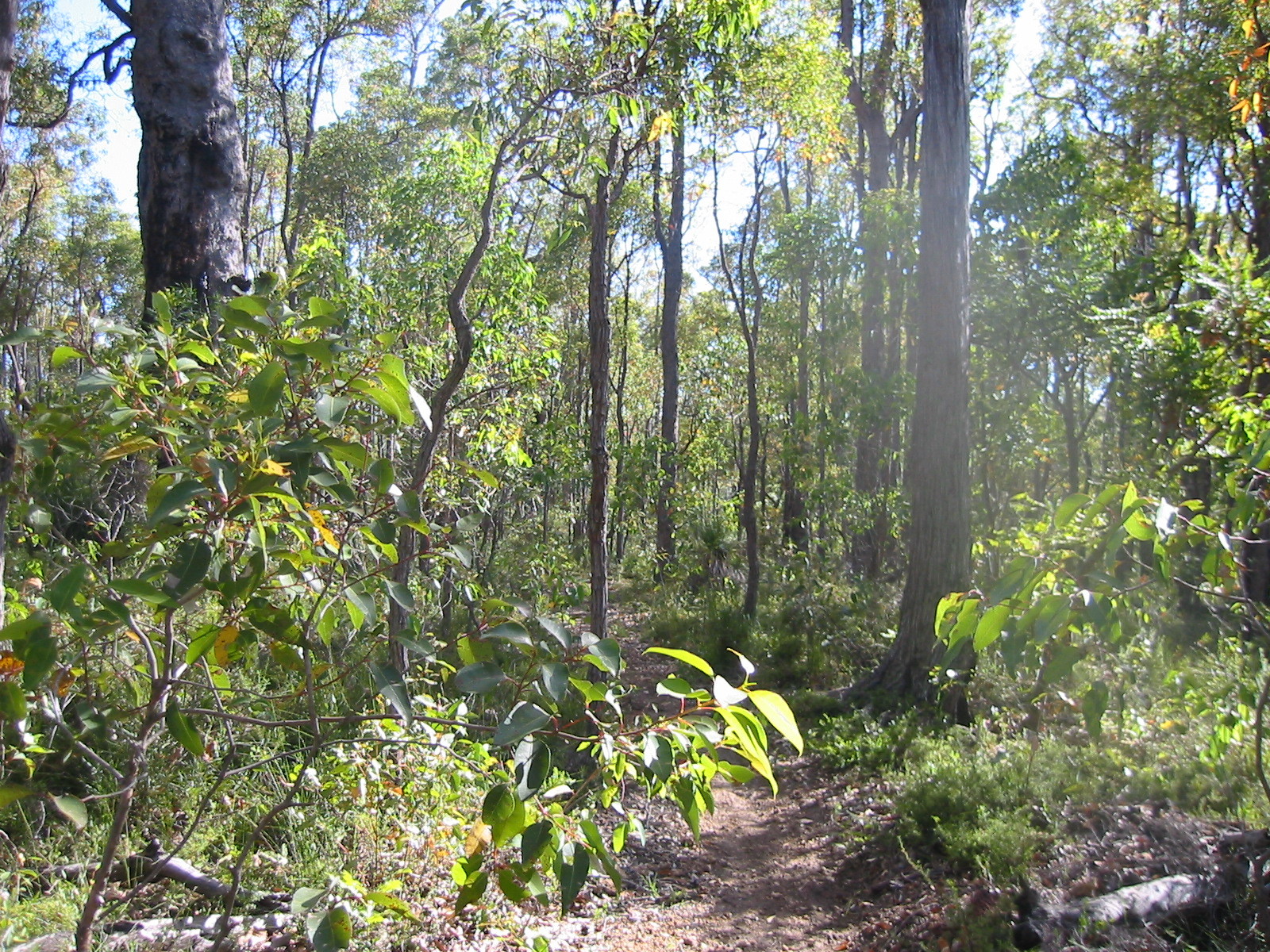
The trail goes through the same area as the well-known
Bibbulmun Track,
in fact, there is a stretch of maybe 20km that is actually on the
Bibbulmun. Consequently, the trail has a lot of variation. A steep ascent
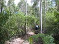
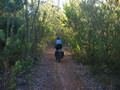


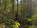 might be followed by some flat bits or sometimes a
tricky downhill part that kept you on your toes. Similarly, wide
cut-outs on fire tracks gave way to forest tracks closely surrounded
by trees and bushes, and often enough we encountered single-lane
tracks, where bushes and branches brushed our legs, arms and sometimes
we even needed to tuck our heads. For someone (like us) who loves
bushwalking as well as cycling, this is about as good as it gets. The
people at CALM, the WA department responsible for natural parks, are
to be highly commended for creating a truly great trail!
might be followed by some flat bits or sometimes a
tricky downhill part that kept you on your toes. Similarly, wide
cut-outs on fire tracks gave way to forest tracks closely surrounded
by trees and bushes, and often enough we encountered single-lane
tracks, where bushes and branches brushed our legs, arms and sometimes
we even needed to tuck our heads. For someone (like us) who loves
bushwalking as well as cycling, this is about as good as it gets. The
people at CALM, the WA department responsible for natural parks, are
to be highly commended for creating a truly great trail!
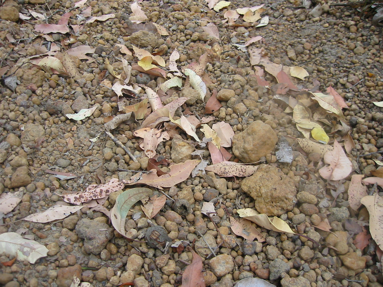
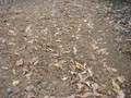
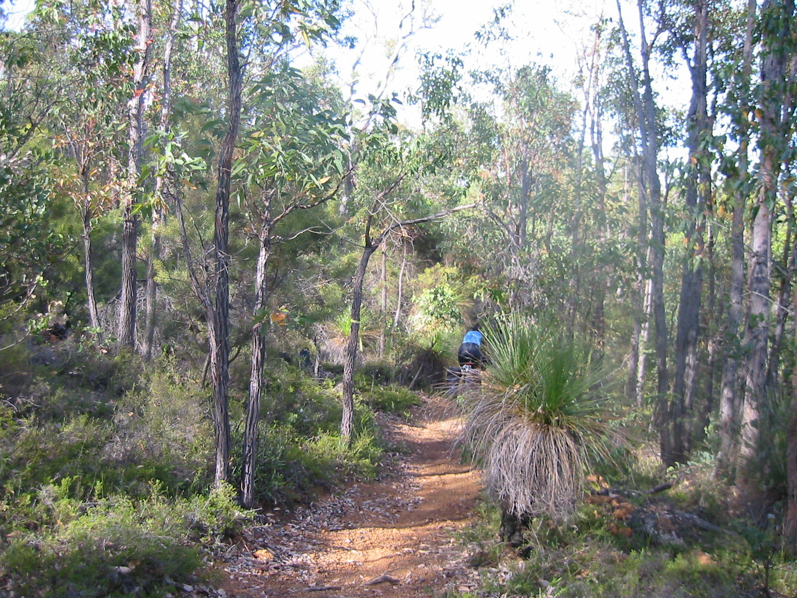
The track surface was quite varied too: plenty of pea-gravel, some good
forest-soil tracks with the occasional logs or whole tree trunks across
(some were ridable, frequently the track detoured around them, an
effective way to keep cars out :-).

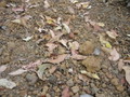 There also were some sandy patches and the steep parts were frequently strongly
eroded, with with gravel, rocks and big ruts. The sandy bits were usually
ok to ride, except for many bends which were dug out by morons on
dirt-bikes ignoring the bicycles-only signs.
There also were some sandy patches and the steep parts were frequently strongly
eroded, with with gravel, rocks and big ruts. The sandy bits were usually
ok to ride, except for many bends which were dug out by morons on
dirt-bikes ignoring the bicycles-only signs.


 The pea gravel was probably the most tricky to ride, and in many
steep sections forced us to dismount and push the bikes. But by Day Four
we found the pea gravel much less of a problem. By then we were able to
negotiate most climbs without getting off, and the downhill bits seemed
to get longer and faster. We now could throughly enjoy the bush experience!
From about the middle we thoroughly enjoyed every bit of the track!
The pea gravel was probably the most tricky to ride, and in many
steep sections forced us to dismount and push the bikes. But by Day Four
we found the pea gravel much less of a problem. By then we were able to
negotiate most climbs without getting off, and the downhill bits seemed
to get longer and faster. We now could throughly enjoy the bush experience!
From about the middle we thoroughly enjoyed every bit of the track!
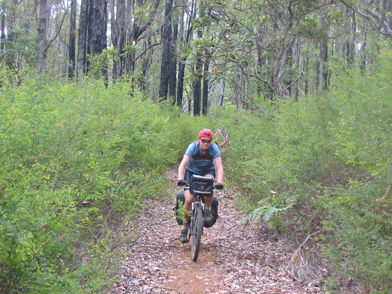
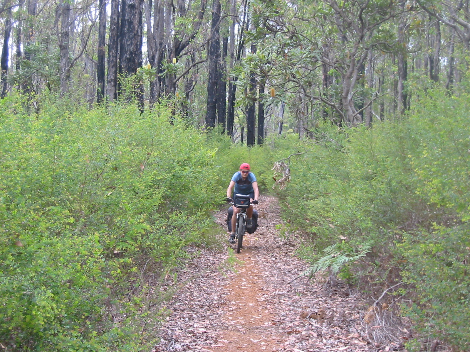
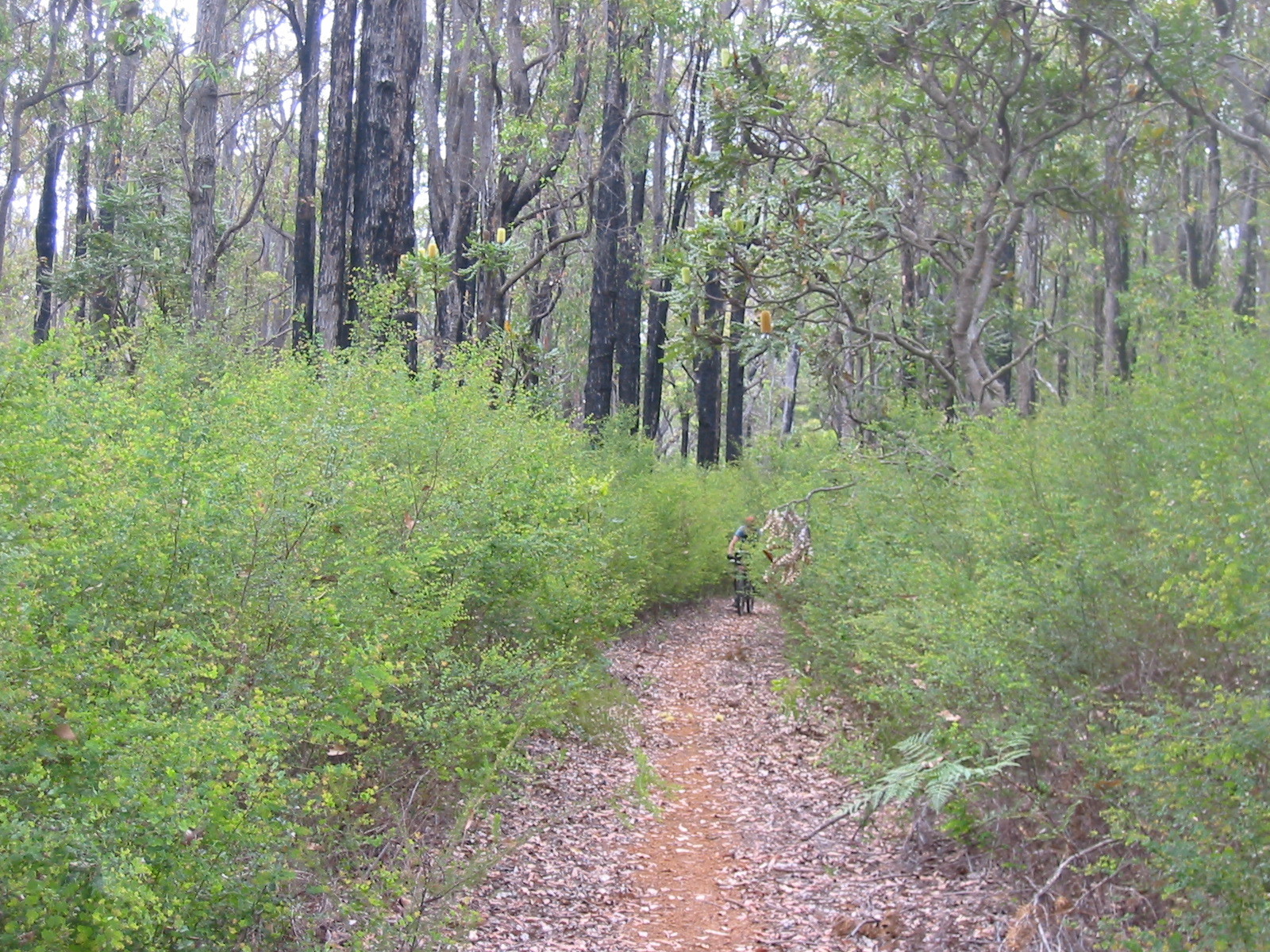
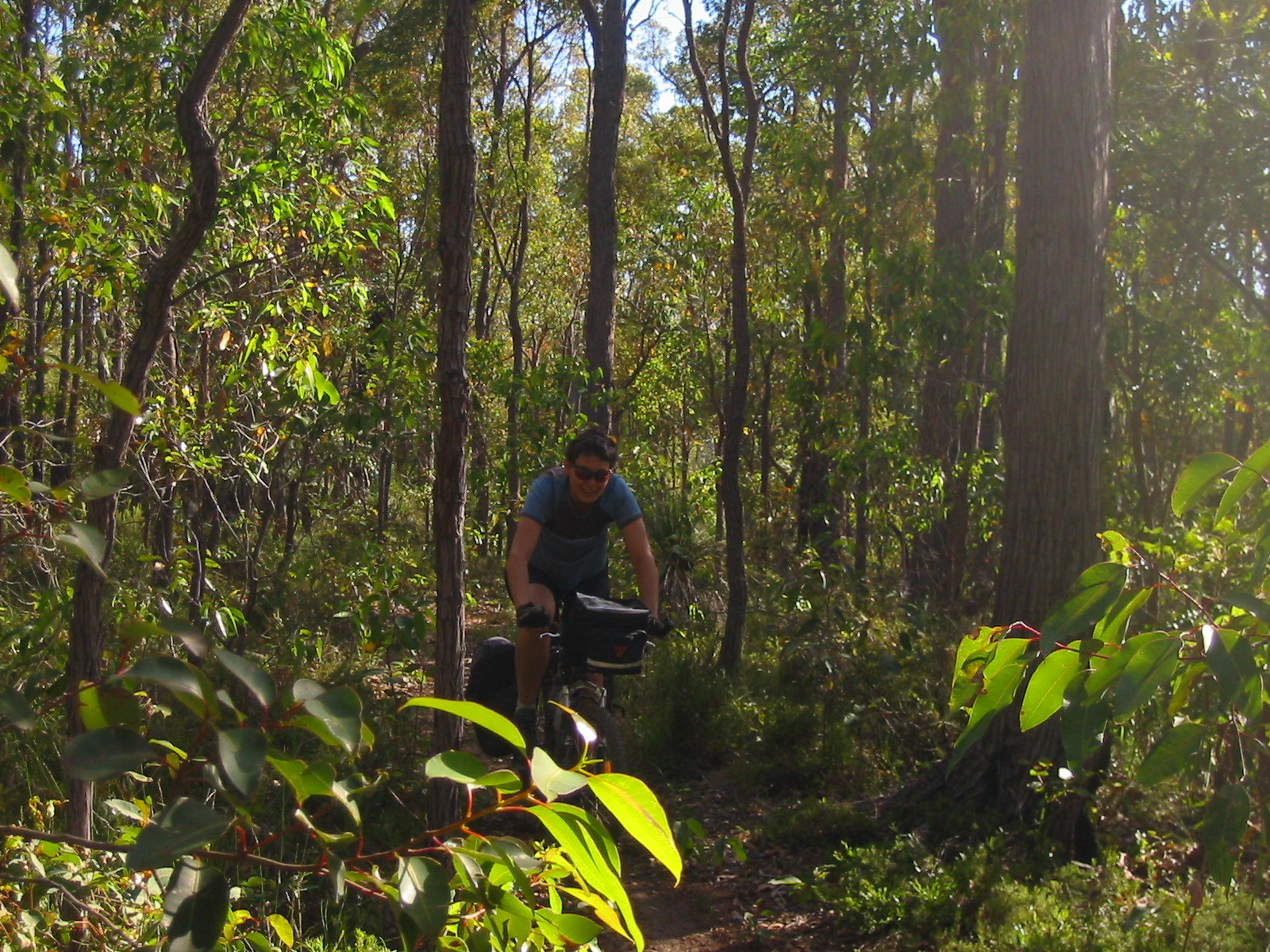
Probably not too surprising, we were always busy negotiating the track when it
was difficult, so unfortunately we only have photos of fairly tame sections.
Difficulty
The first day seemed by far the hardest, but we are pretty sure that
this was highly subjective, a result of not being properly acclimatised
to the hot conditions, riding for too long during the hottest part of
the day, and generally still to learn off-road riding techniques. Things
were already noticeably easier on the second day. Technically we think
that our third day was probably the most difficult. The next two days
were fine, the last outright easy.
We found the steep uphill parts the most challenging ones, mostly
because we carried a fair bit of weight. The
longer less-steep ascents were comparatively easy. The official maps show track profile and a
easy-medium-challenging rating, which needs to be taken with a grain of
salt. We found some of the “moderate” parts
indistinguishable from the immediately adjacent
“challenging” bits, while other “moderate” parts
were outright easy. It obviously depends on fitness and technique, and
we suspect that the grading was oriented at day riders carrying no
gear.
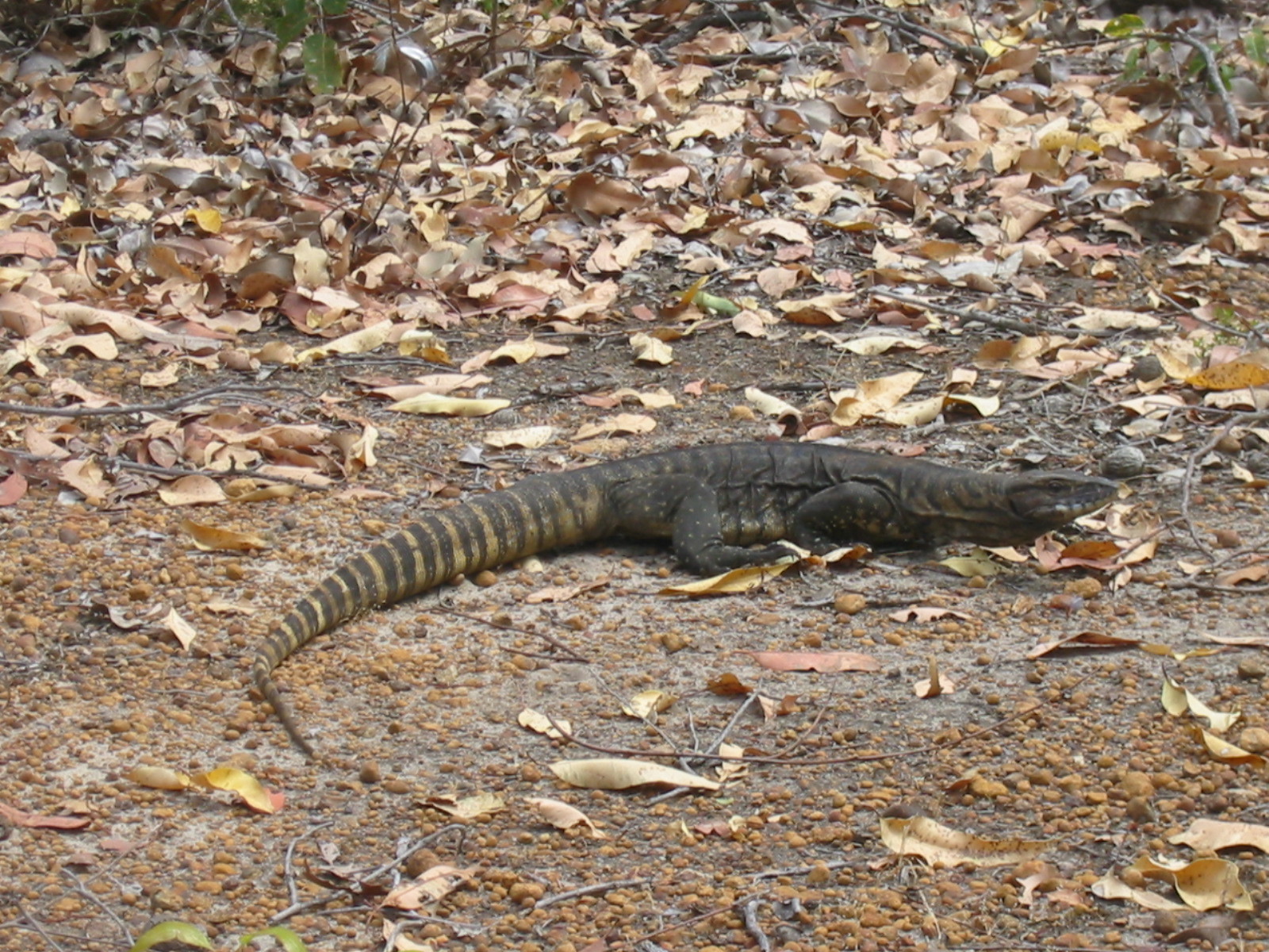
Wildlife
We had our fair share of wildlife on this trip.
 Each morning we would stir up plenty of kangaroos, we estimate that we
saw in average at least twenty a day. One day we saw emus twice, first a single
one, later a group of four. They ran off before we could get close enough for
a photo. Day Five treated us to a good-sized (80cm) goanna. And, naturally,
there were many variety of birds from the very early morning to sunset:
Kookaburras, galahs, lorikeets, cockatoos, willy wagtails and many more.
Each morning we would stir up plenty of kangaroos, we estimate that we
saw in average at least twenty a day. One day we saw emus twice, first a single
one, later a group of four. They ran off before we could get close enough for
a photo. Day Five treated us to a good-sized (80cm) goanna. And, naturally,
there were many variety of birds from the very early morning to sunset:
Kookaburras, galahs, lorikeets, cockatoos, willy wagtails and many more.
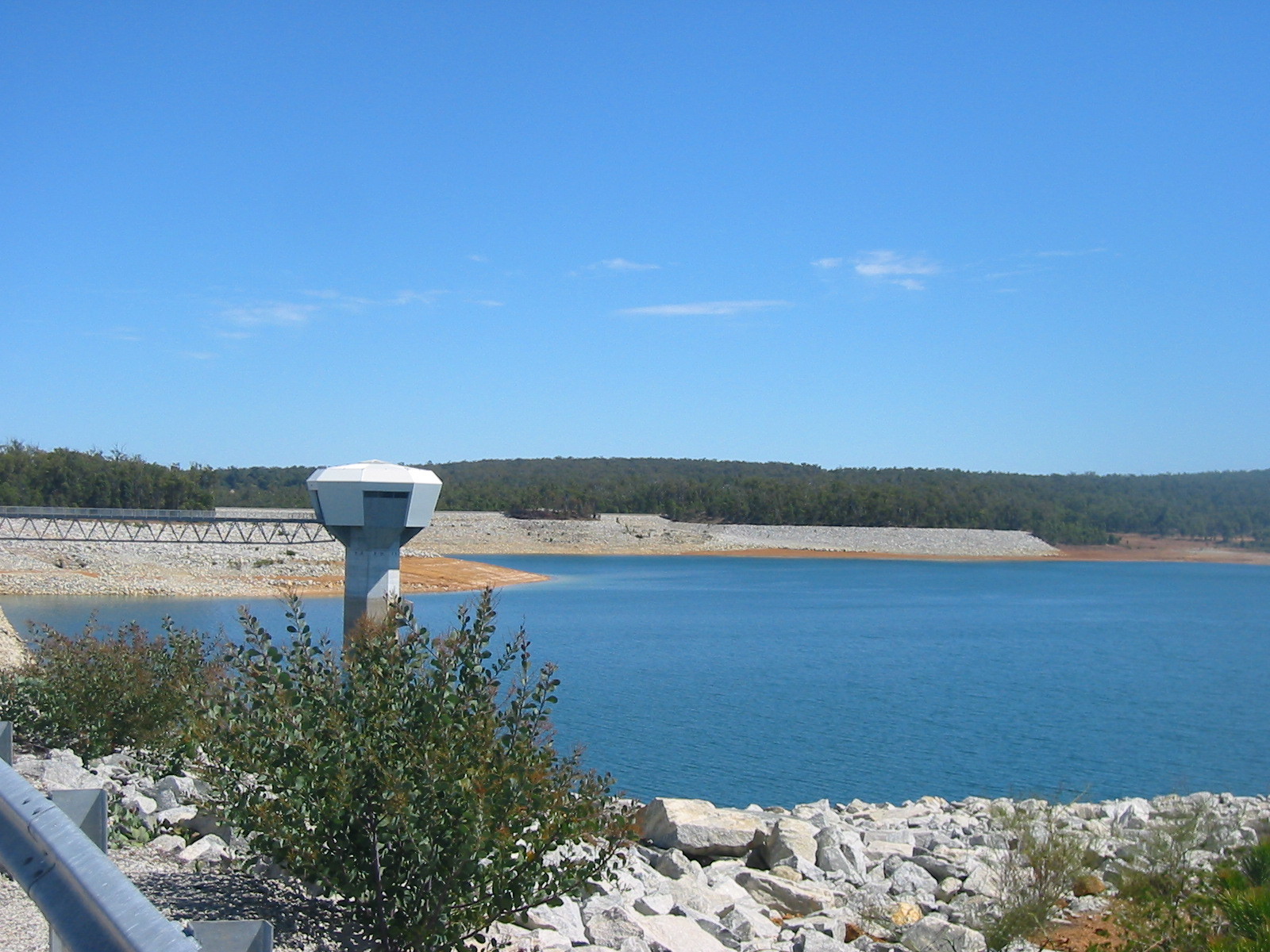
Other things to see
 While some of the trail is through national park, most is state forest
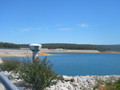
and water catchment protection area. The vary bad state of Perth's water
supply was demonstrated by North Dandalup Reservoir, which we estimated
to be at no more than 25% capacity. Lake C Y O'connor, which we had seen
from the plane, seemed similarly depleted.
While some of the trail is through national park, most is state forest
and water catchment protection area. The vary bad state of Perth's water
supply was demonstrated by North Dandalup Reservoir, which we estimated
to be at no more than 25% capacity. Lake C Y O'connor, which we had seen
from the plane, seemed similarly depleted.
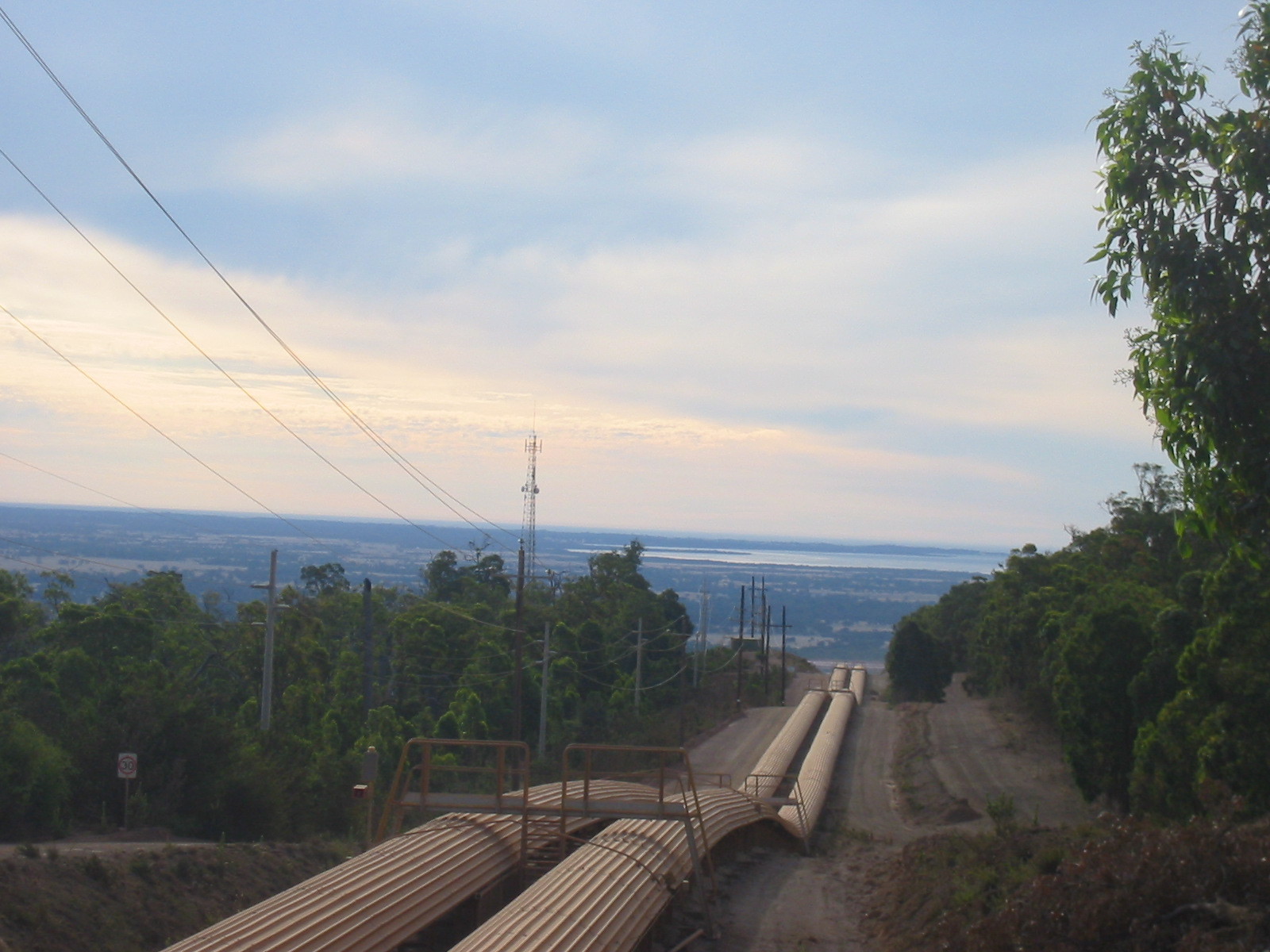
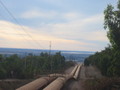 A more unusual sight was the Alcoa conveyor belt which transports ore
from the mining area just east of the trail towards the coast. Much of
the water protection area around Lake Banksiadale (not touched by the
Munda Biddi, although there is a camping area at South Dandalup Dam) is
being mined. While we had lunch at a little stream coming out of that area,
an Alcoa employee showed up to check the water monitoring station there.
A more unusual sight was the Alcoa conveyor belt which transports ore
from the mining area just east of the trail towards the coast. Much of
the water protection area around Lake Banksiadale (not touched by the
Munda Biddi, although there is a camping area at South Dandalup Dam) is
being mined. While we had lunch at a little stream coming out of that area,
an Alcoa employee showed up to check the water monitoring station there.
Return to main page of
Munda Biddi Trail Ride
© Gernot Heiser 2019.

 might be followed by some flat bits or sometimes a
tricky downhill part that kept you on your toes. Similarly, wide
cut-outs on fire tracks gave way to forest tracks closely surrounded
by trees and bushes, and often enough we encountered single-lane
tracks, where bushes and branches brushed our legs, arms and sometimes
we even needed to tuck our heads. For someone (like us) who loves
bushwalking as well as cycling, this is about as good as it gets. The
people at CALM, the WA department responsible for natural parks, are
to be highly commended for creating a truly great trail!
might be followed by some flat bits or sometimes a
tricky downhill part that kept you on your toes. Similarly, wide
cut-outs on fire tracks gave way to forest tracks closely surrounded
by trees and bushes, and often enough we encountered single-lane
tracks, where bushes and branches brushed our legs, arms and sometimes
we even needed to tuck our heads. For someone (like us) who loves
bushwalking as well as cycling, this is about as good as it gets. The
people at CALM, the WA department responsible for natural parks, are
to be highly commended for creating a truly great trail!