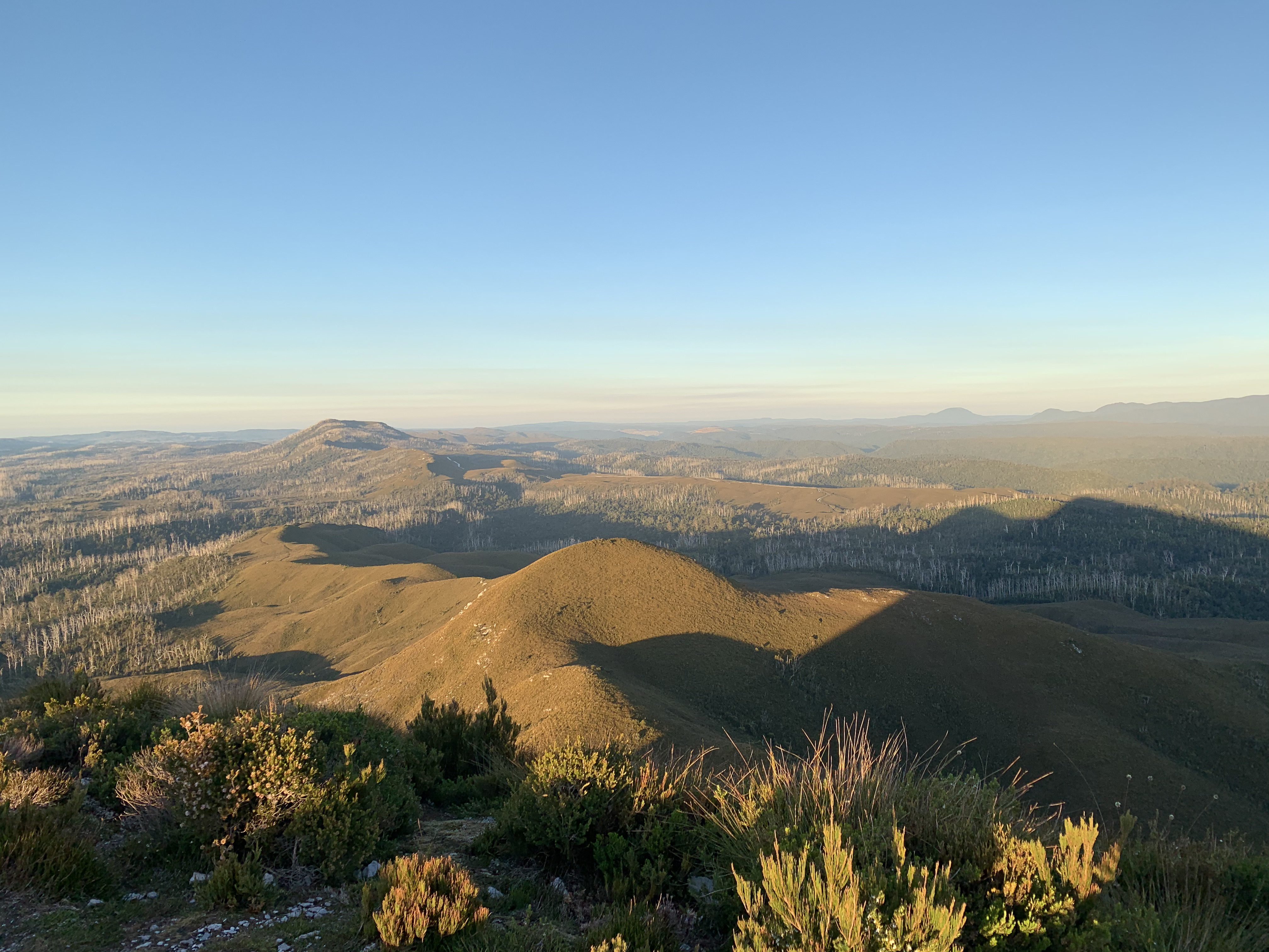
Panorama view from the top of Mt Donaldson
Panorama view from the top of Mt Donaldson
We use the day to transition from the high country, Cradle Mountain area (this is the link to our excursions there), to the low country, the Tarkine near the east coast. We take it very leisurely, not even taking any photos or any notes 😀. (We will make up of for it the next day!)
We reach Corinna in the early afternoon and settle in our very comfortable cabin at Corinna Wilderness Experience. Their restaurant is very welcoming, and over the upcoming days we make particular much use of the verandah with view onto the main square of the locality.
Later in the afternoon we explore the immediate neighbourhood, especially the Huon Pine trail, to get a feel for what lies ahead for the next few days of walking.
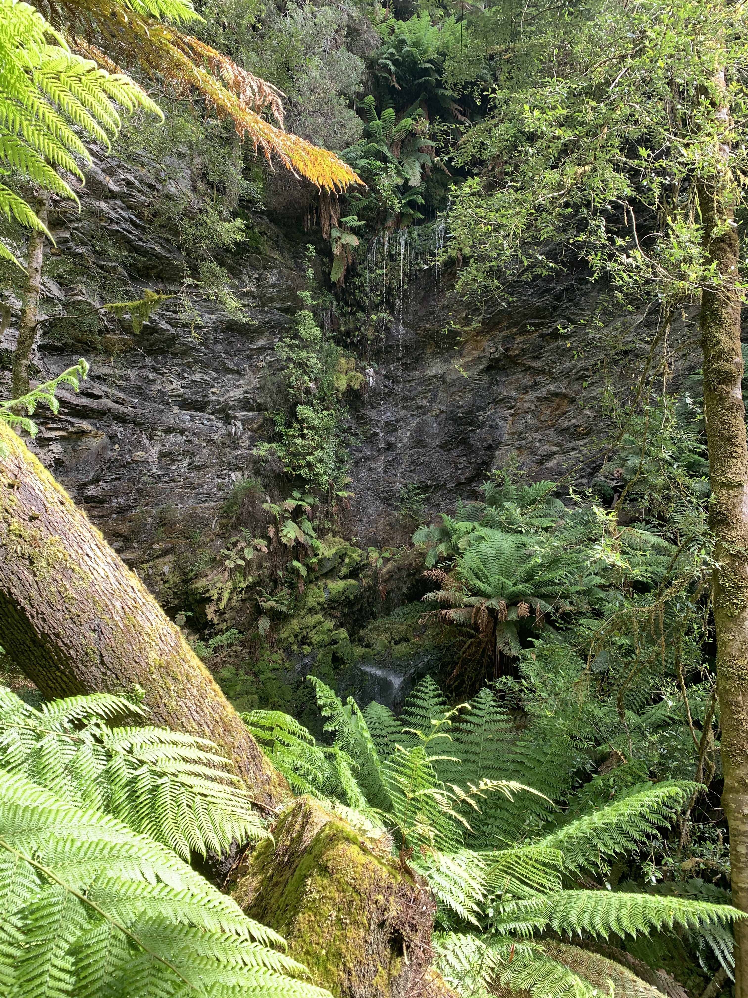
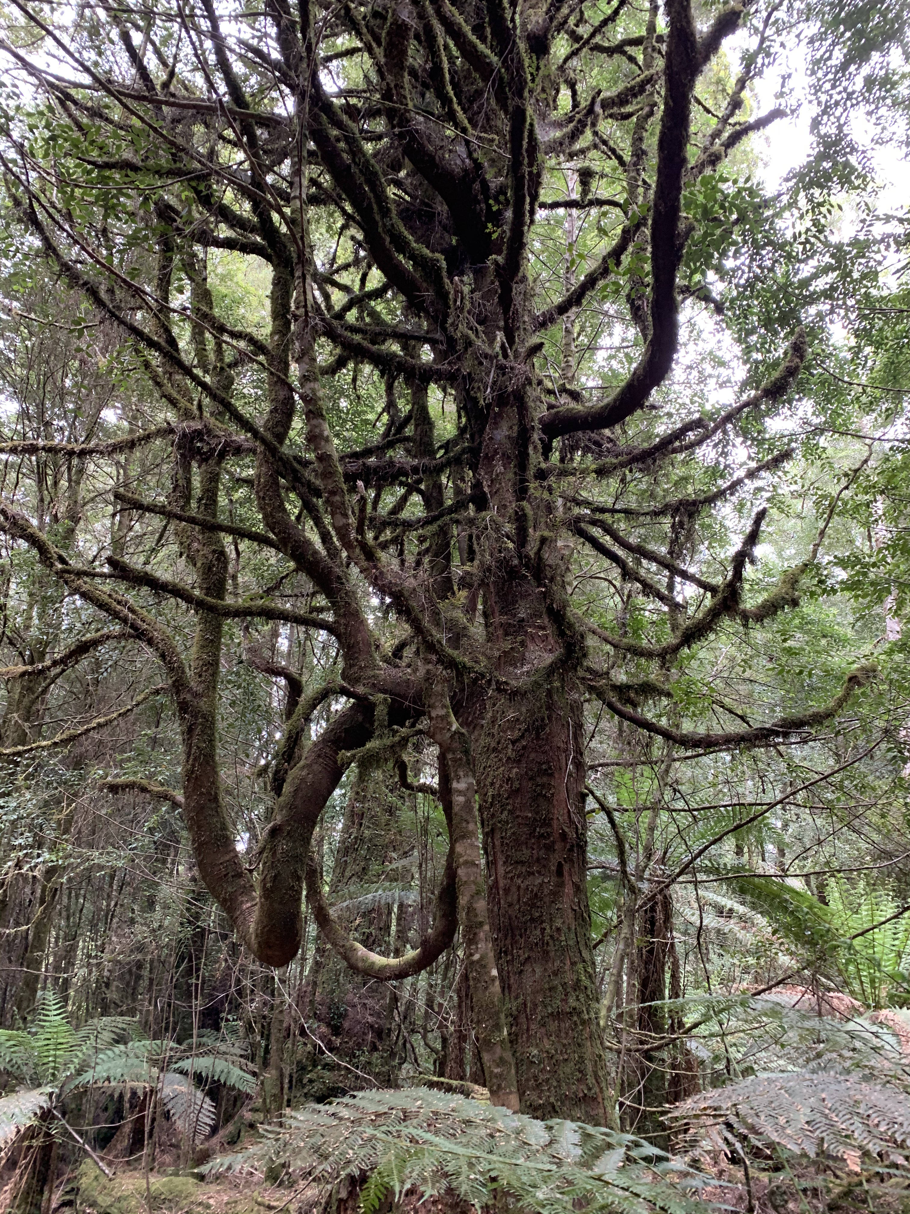
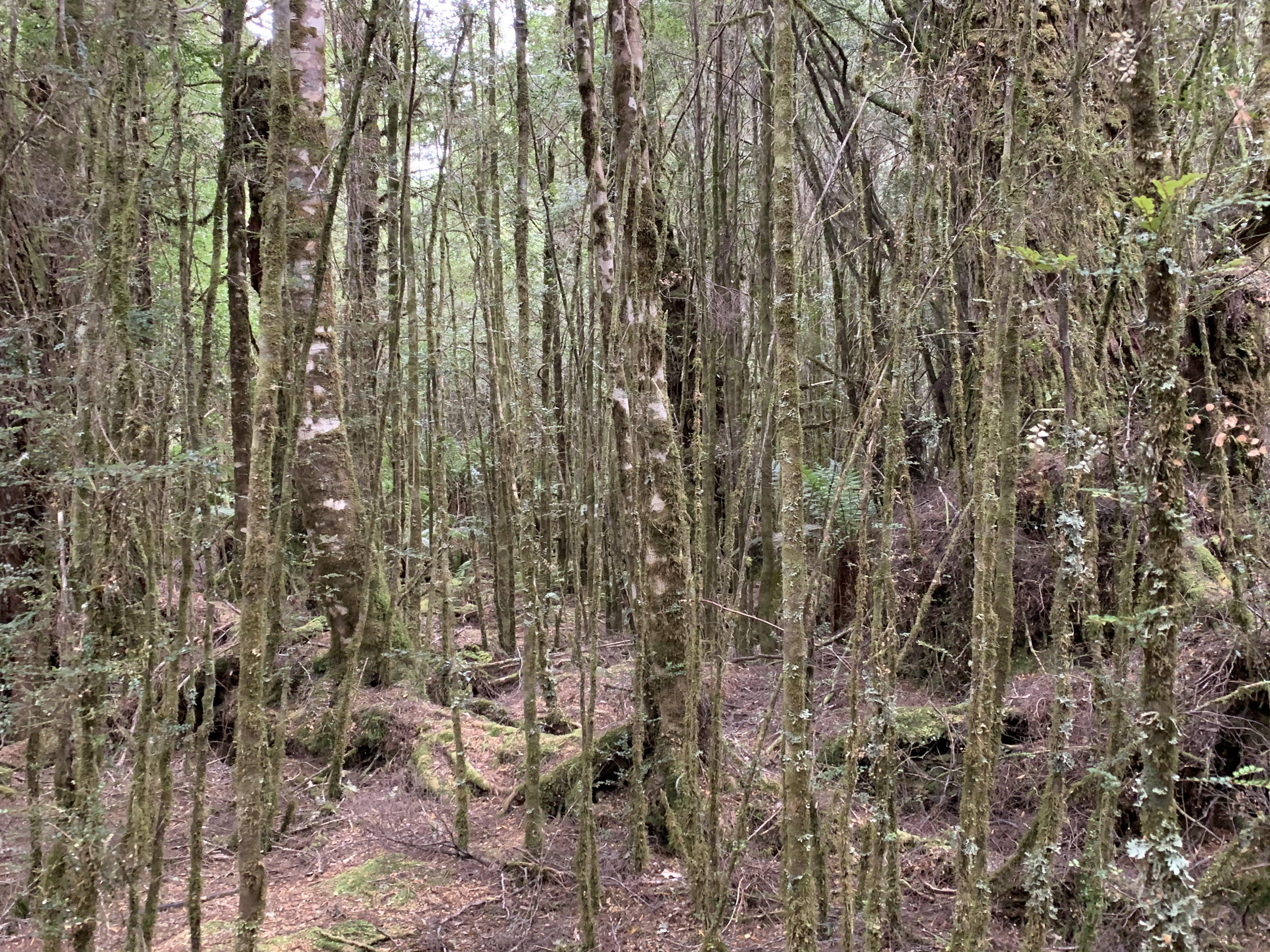
 The track along the Pieman river is very accessible, yet shows all
the magic of the Tarkine wilderness.
The track along the Pieman river is very accessible, yet shows all
the magic of the Tarkine wilderness.
The Savage River crossing pops up in seemingly no time at all. Not keen on the short stretch of road and a car park, we walk straight through and only take a small break shortly after.
 As planned we make it to the top of Mt Donaldson by lunch time. And, as we have been
promised, the view is simply stunning (see also the panorama photo at the top of this page).
As planned we make it to the top of Mt Donaldson by lunch time. And, as we have been
promised, the view is simply stunning (see also the panorama photo at the top of this page).
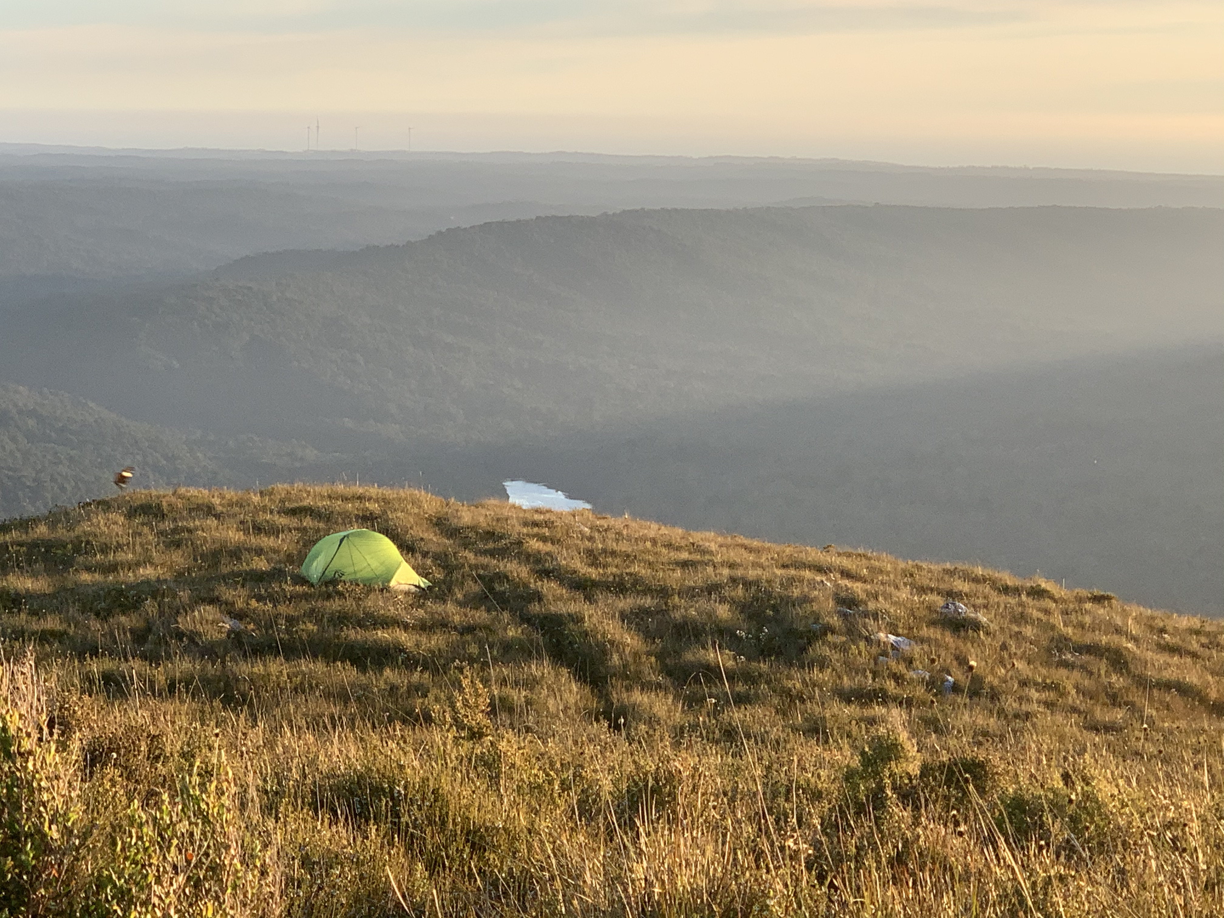
After pitching our tent in a more protected spot somewhat below the
summit, we enjoy a very relaxing afternoon, watching the light change
as the sun gets lower...

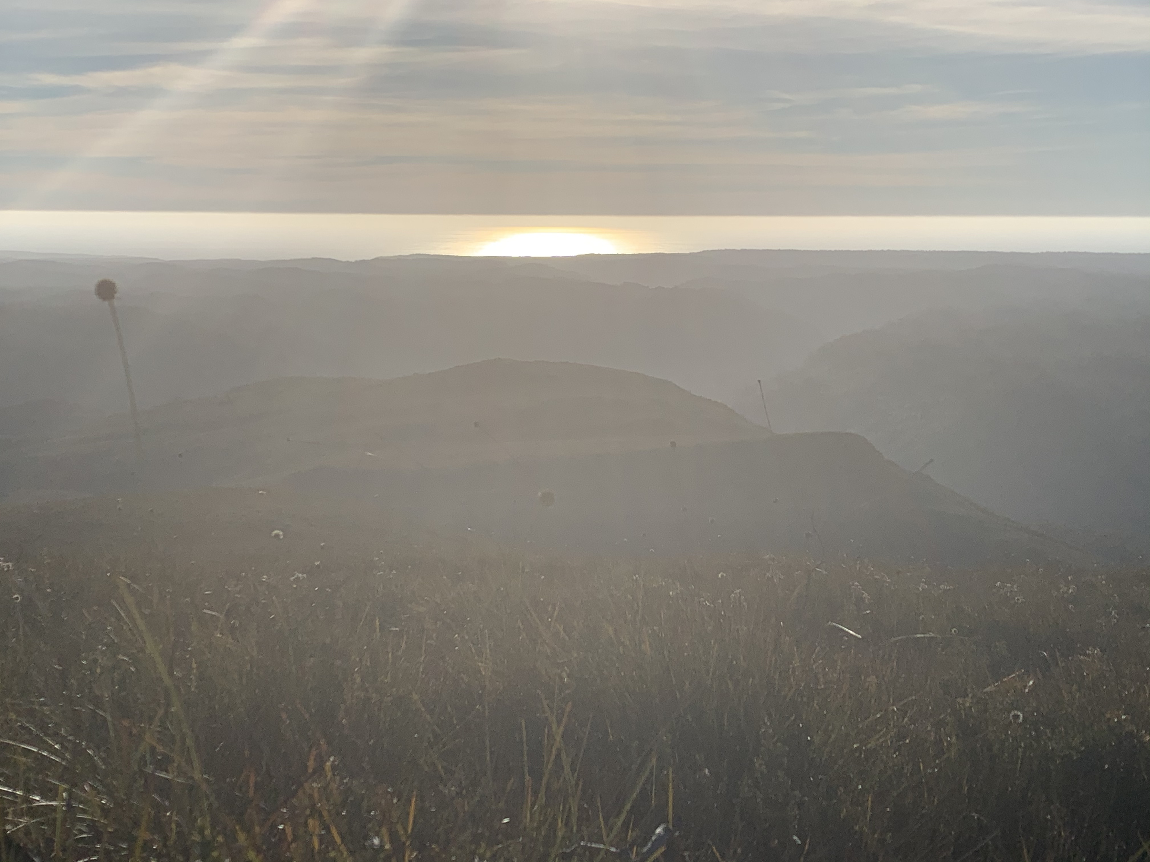
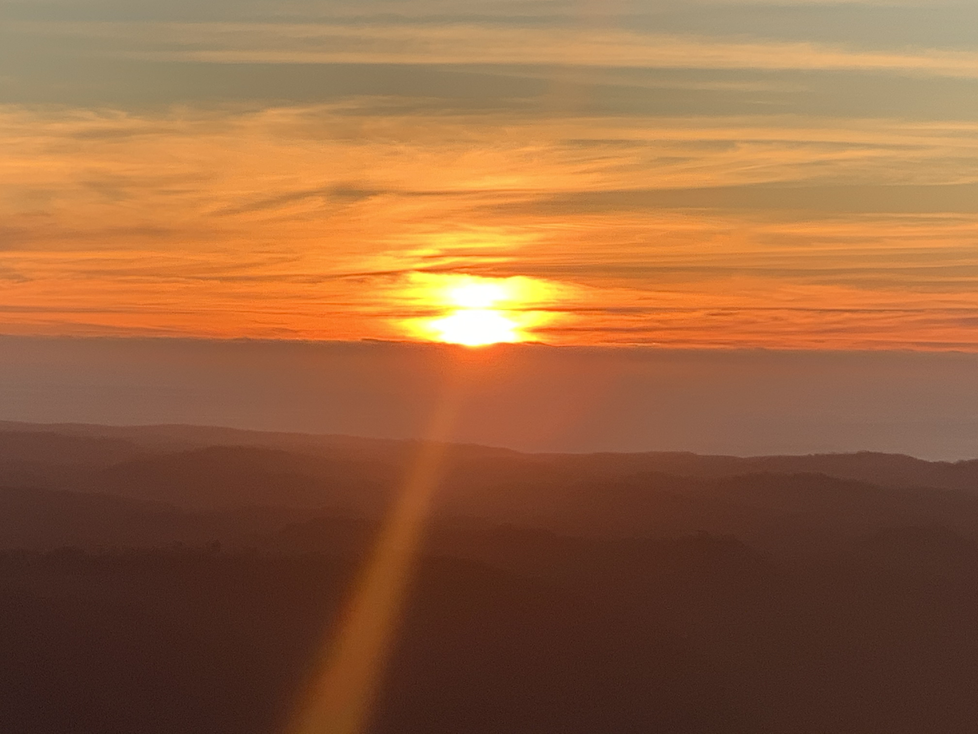
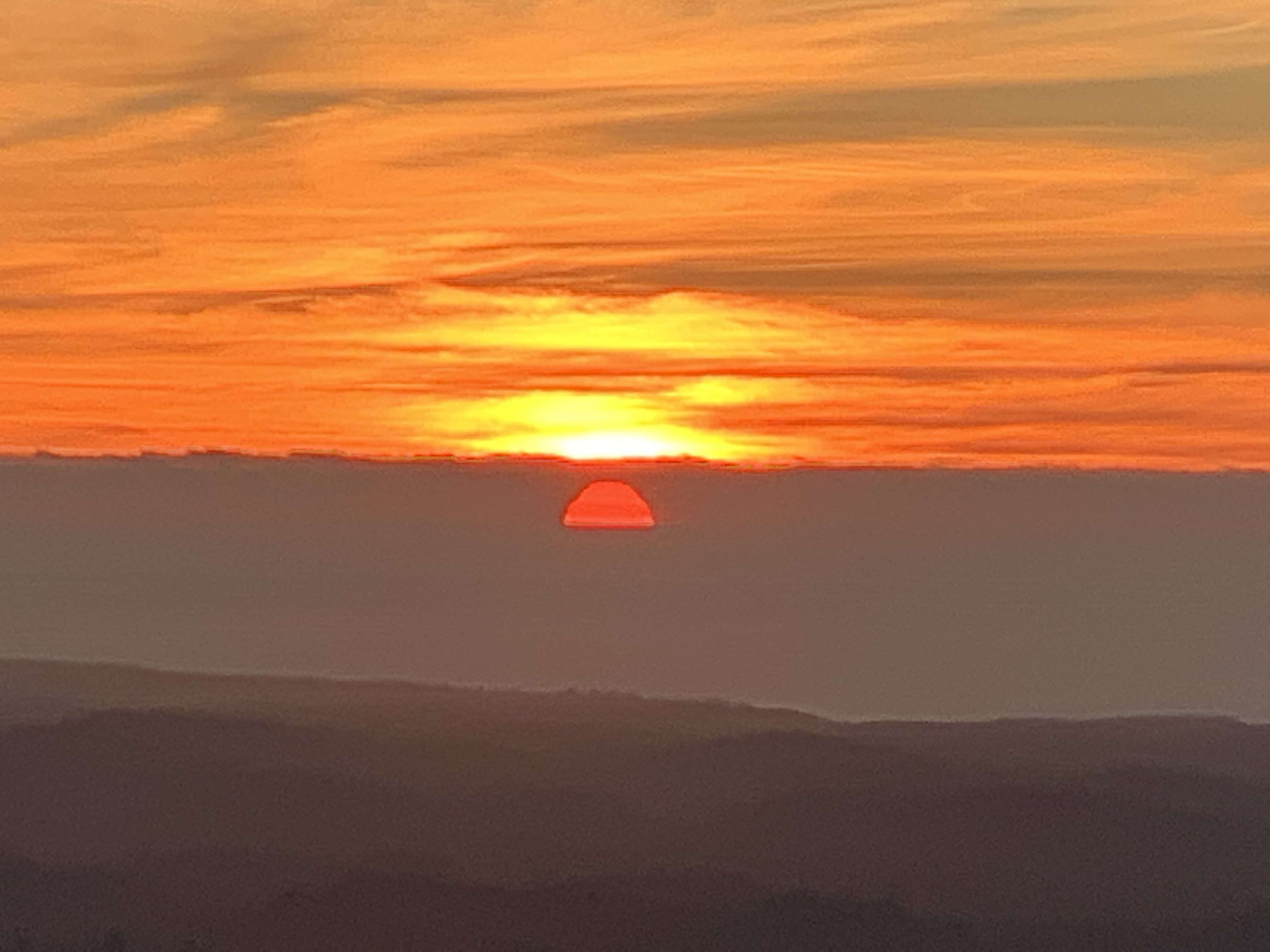
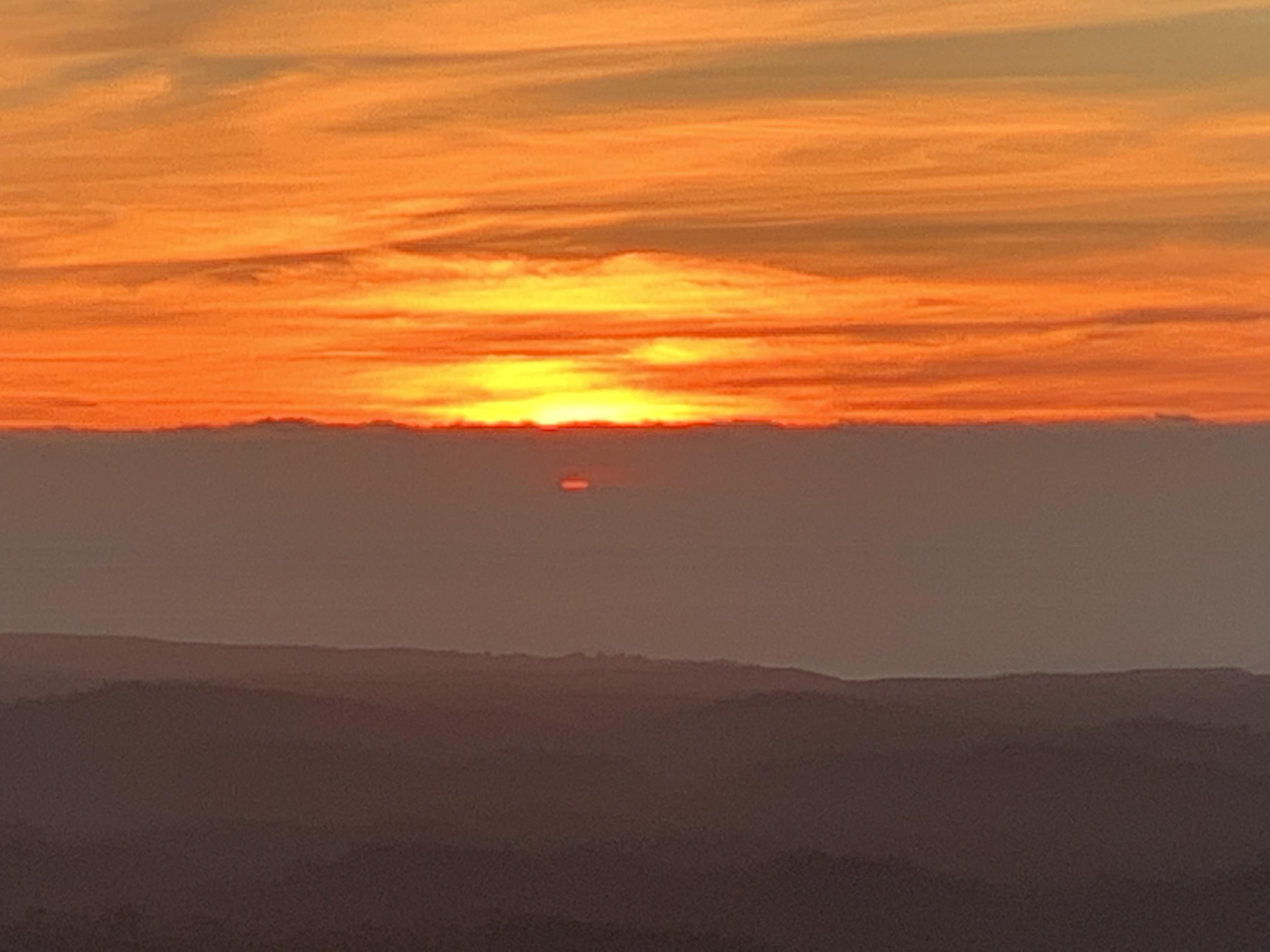
and transitions into a spectacular sunset just for the two of us, thanks to some thin clouds at the horizon.
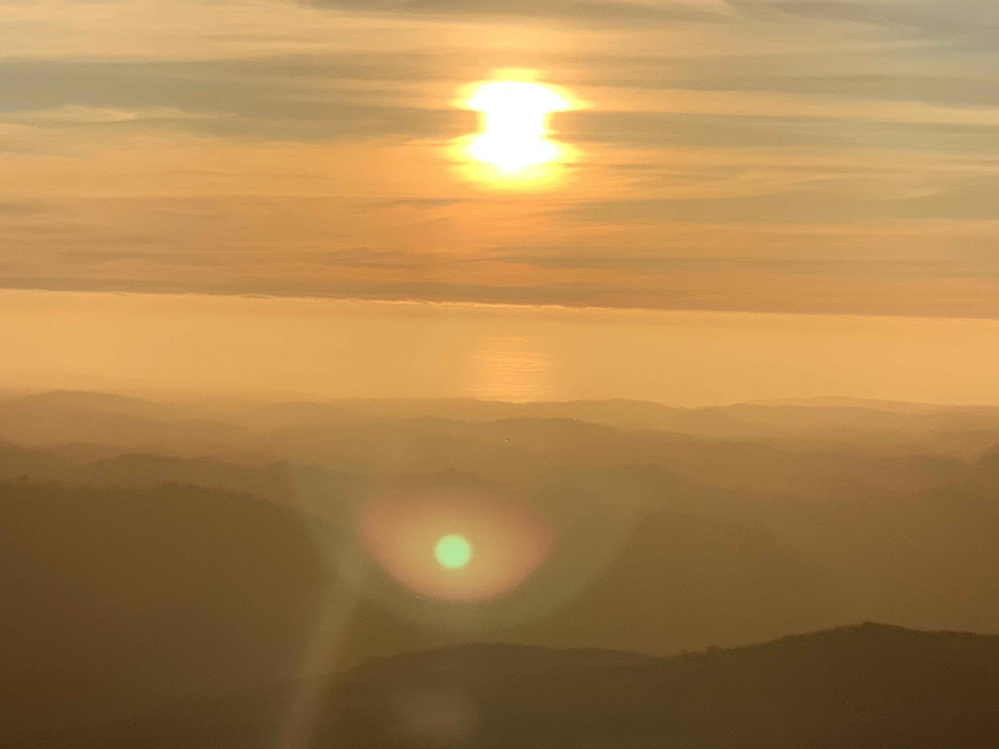

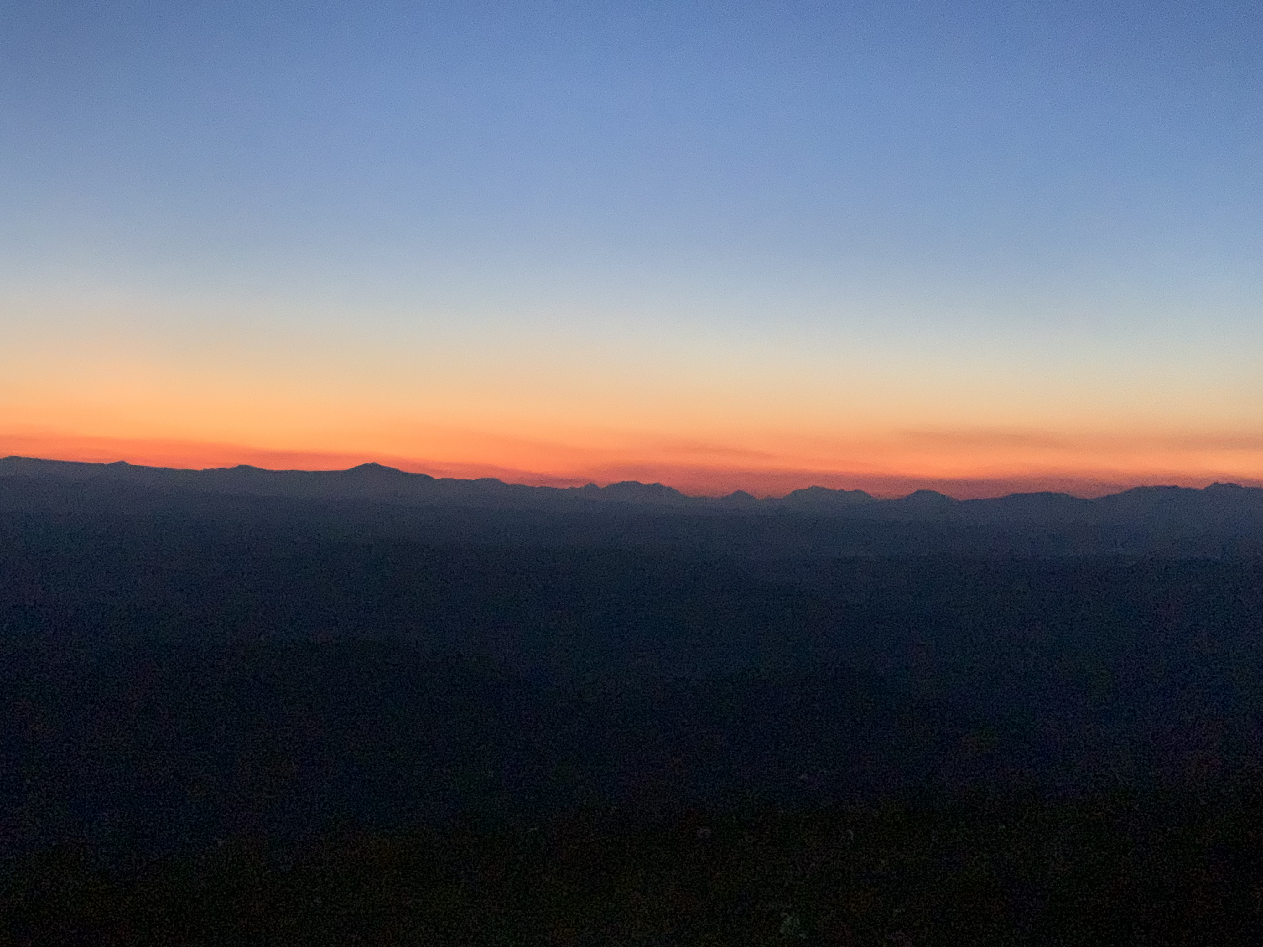
A magic dawn at 5am was competing with the previous evening.
Given the chill of the early hour, we eat our müesli quickly and swiftly pack up camp. We retrace our steps back down are back in Corinna for lunch.
Our excursion to Mt Donaldson with an overnight camp atop certainly delivered it all 👍.
Today has a variety of exploration in store for us.


 First up, we venture down the Pieman River in a canoe, to the little
jetty at Lovers Falls. There we potter around as far as the dense rainforests allows.
First up, we venture down the Pieman River in a canoe, to the little
jetty at Lovers Falls. There we potter around as far as the dense rainforests allows.
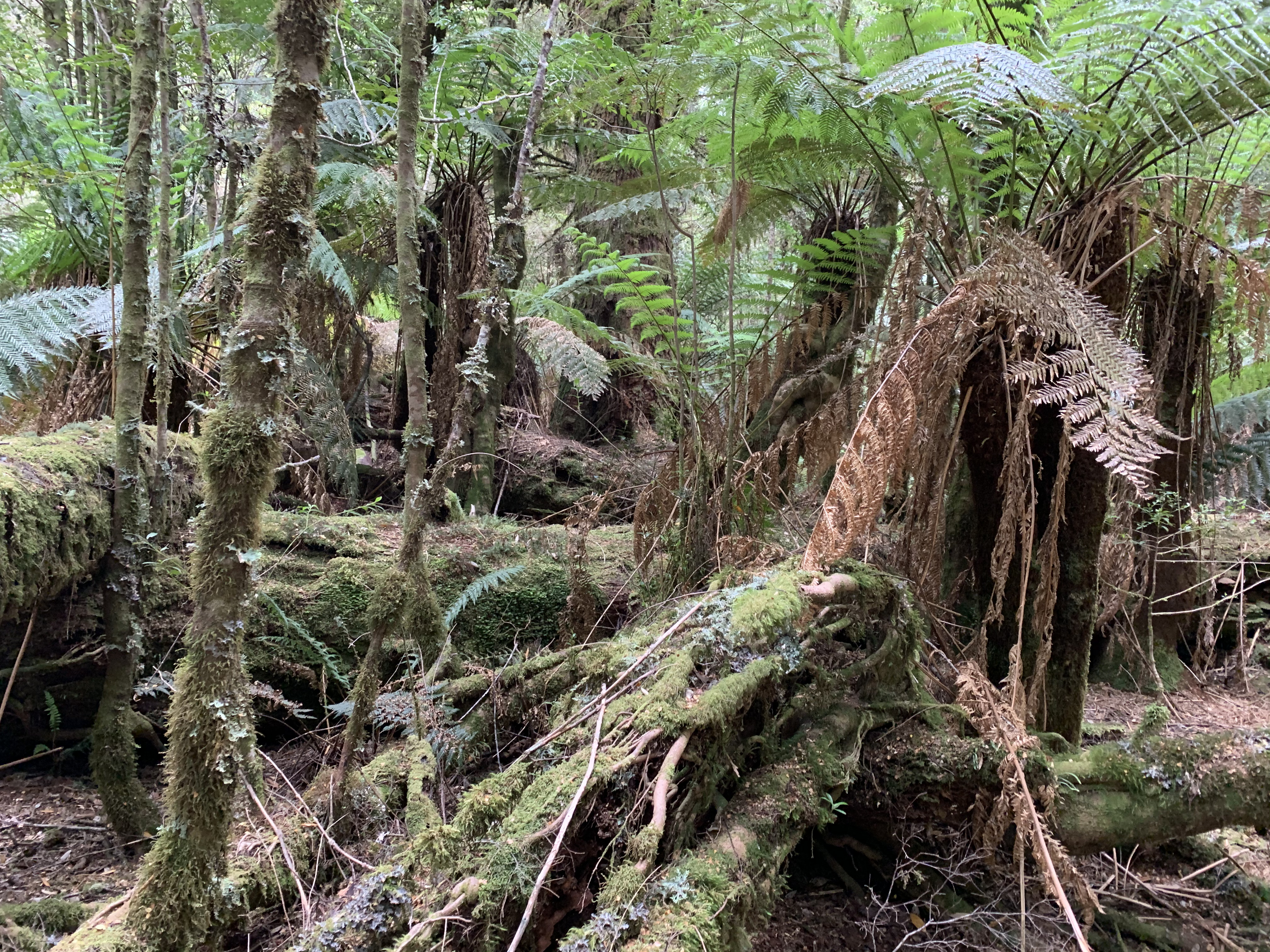
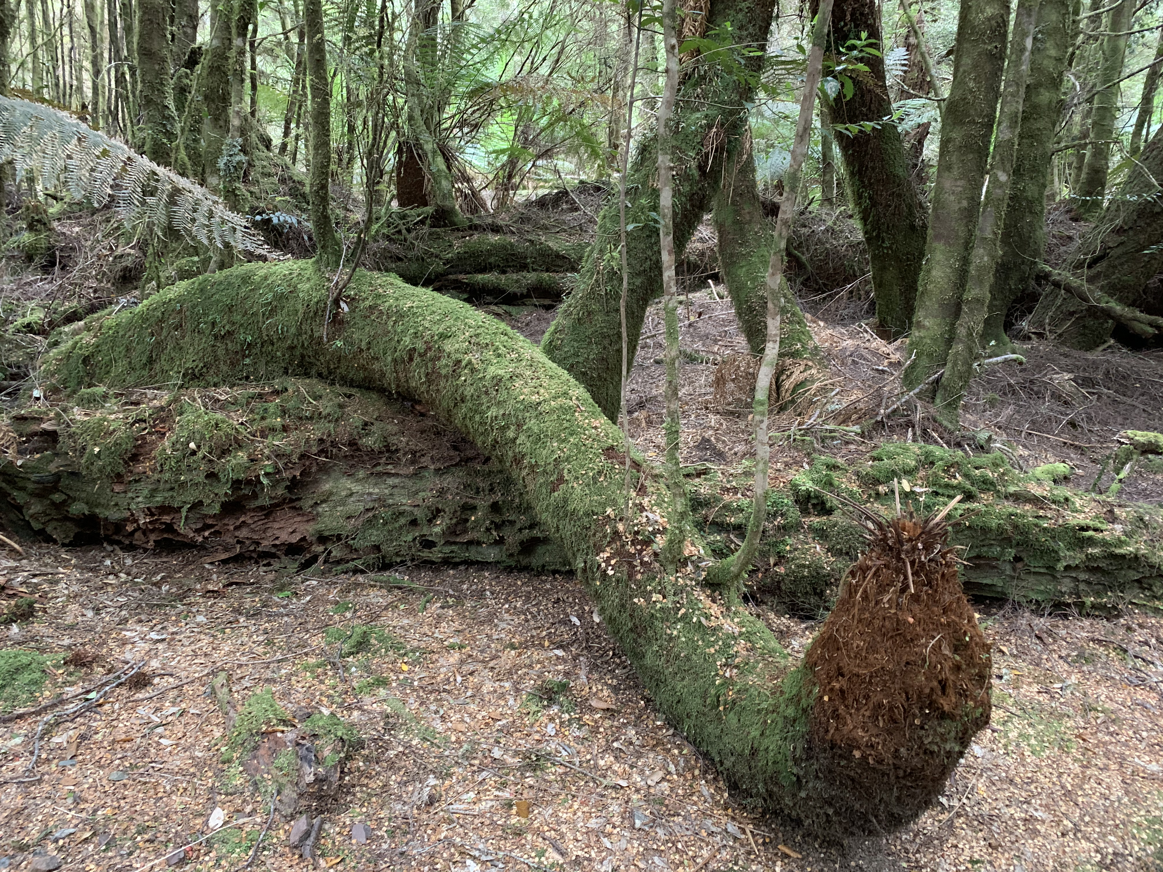
 Later in the afternoon, we set out to explore the area around The
Longback. This is a lot wilder than what we expected.
Later in the afternoon, we set out to explore the area around The
Longback. This is a lot wilder than what we expected.
There are a few tracks, we are clearly not the first ones here.

 After dinner we set out for our last walk here at Corinna, up the Old
Telegraph Hill. So far, we have been incredibly lucky with the weather:
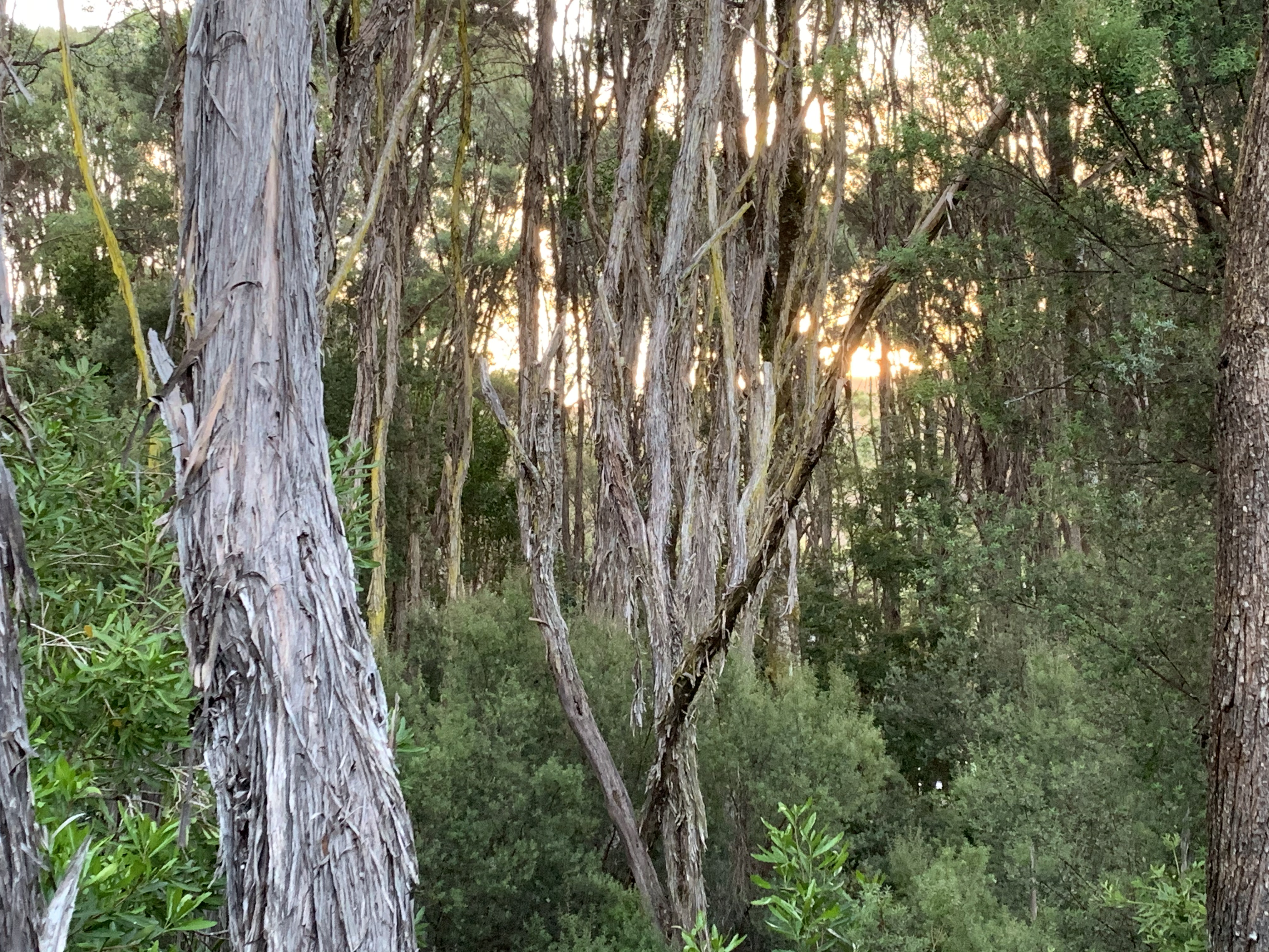
We can watch yet another sunset, this time through the tall trees
of the Tarkine.
After dinner we set out for our last walk here at Corinna, up the Old
Telegraph Hill. So far, we have been incredibly lucky with the weather:
We can watch yet another sunset, this time through the tall trees
of the Tarkine.
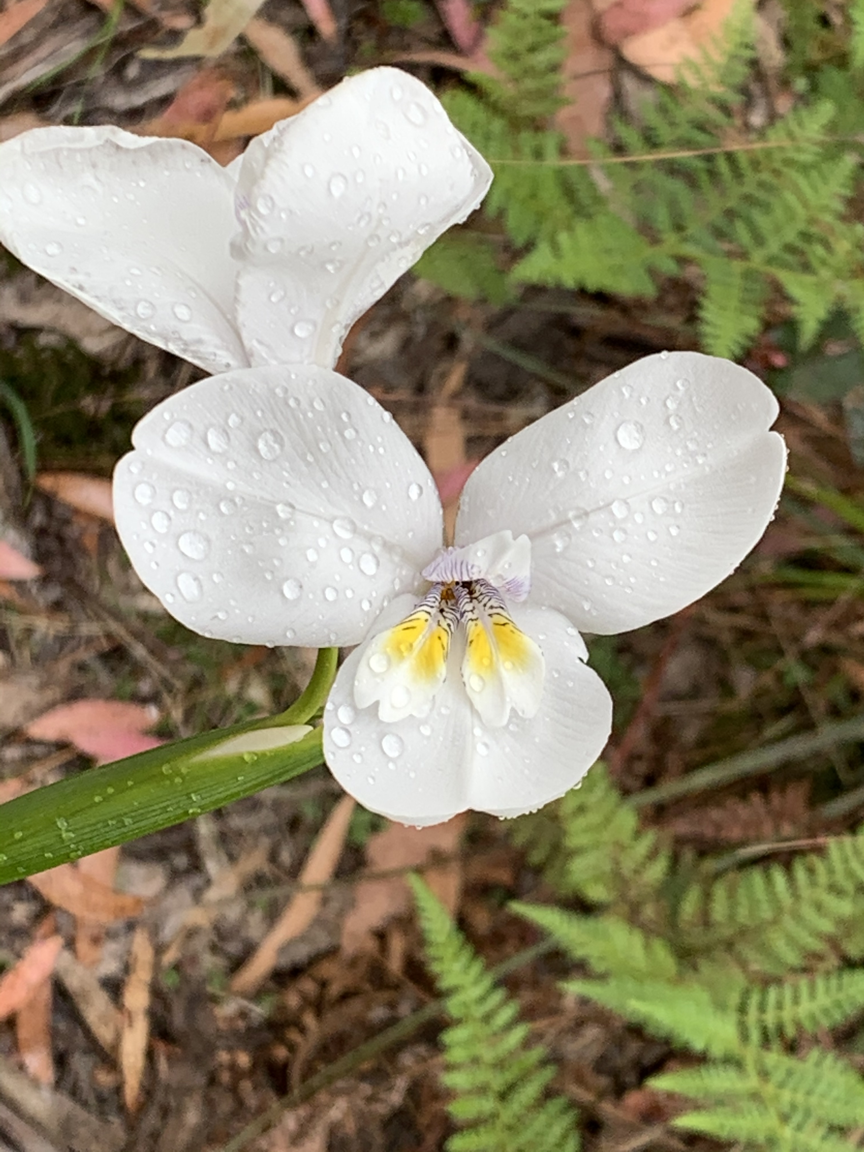
Here our impressions from the Philosopher Falls track:
...earlier along the way:
...and at the very far end of the Philosopher Falls track:
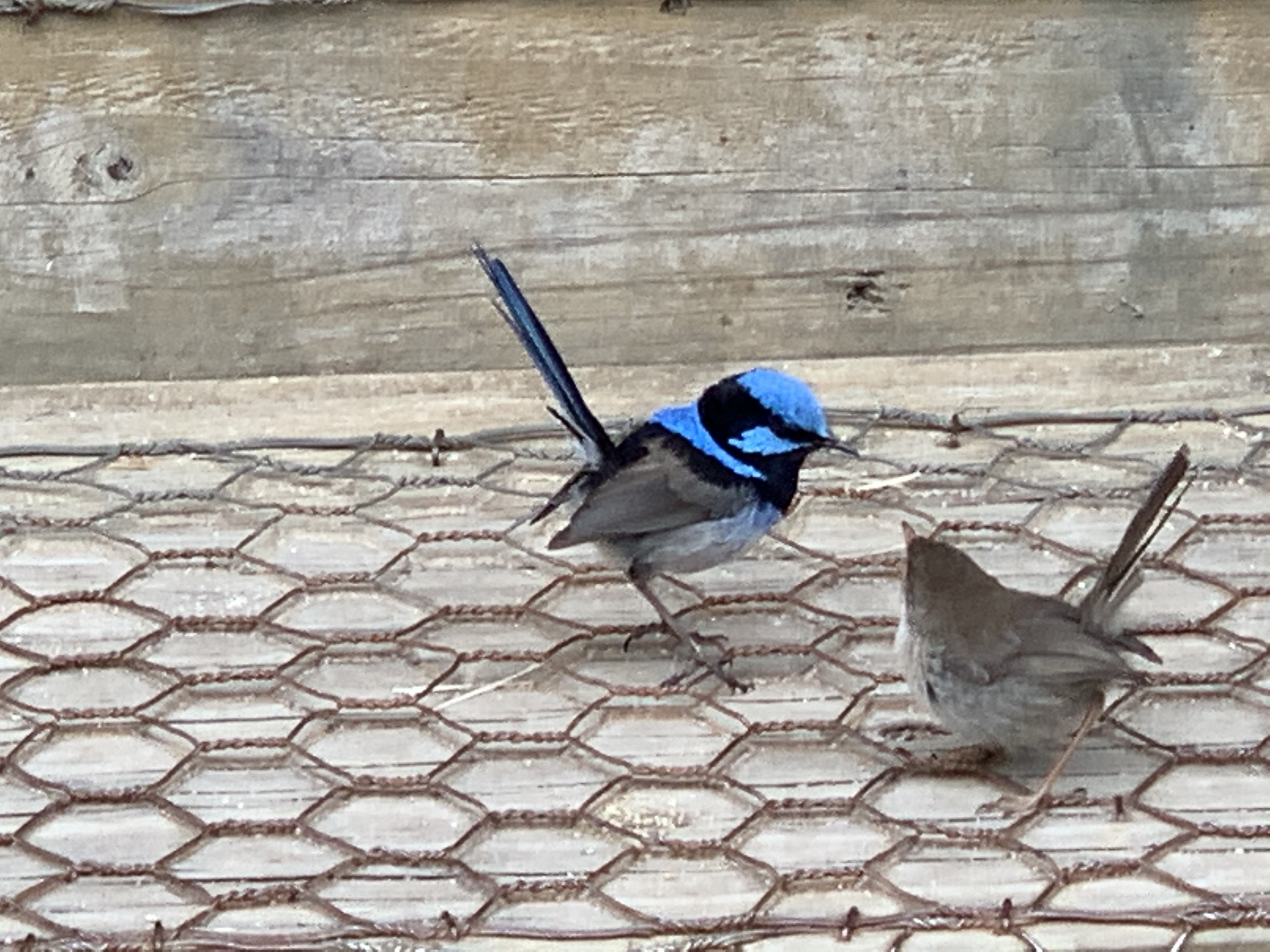
While we have met a few people on the rather well known Philosopher
Falls track, we have the Waratah River circuit completely to ourselves
during our afternoon excursion—we don't know why, but are
certainly not complaining about it. The track has a lot of variety:
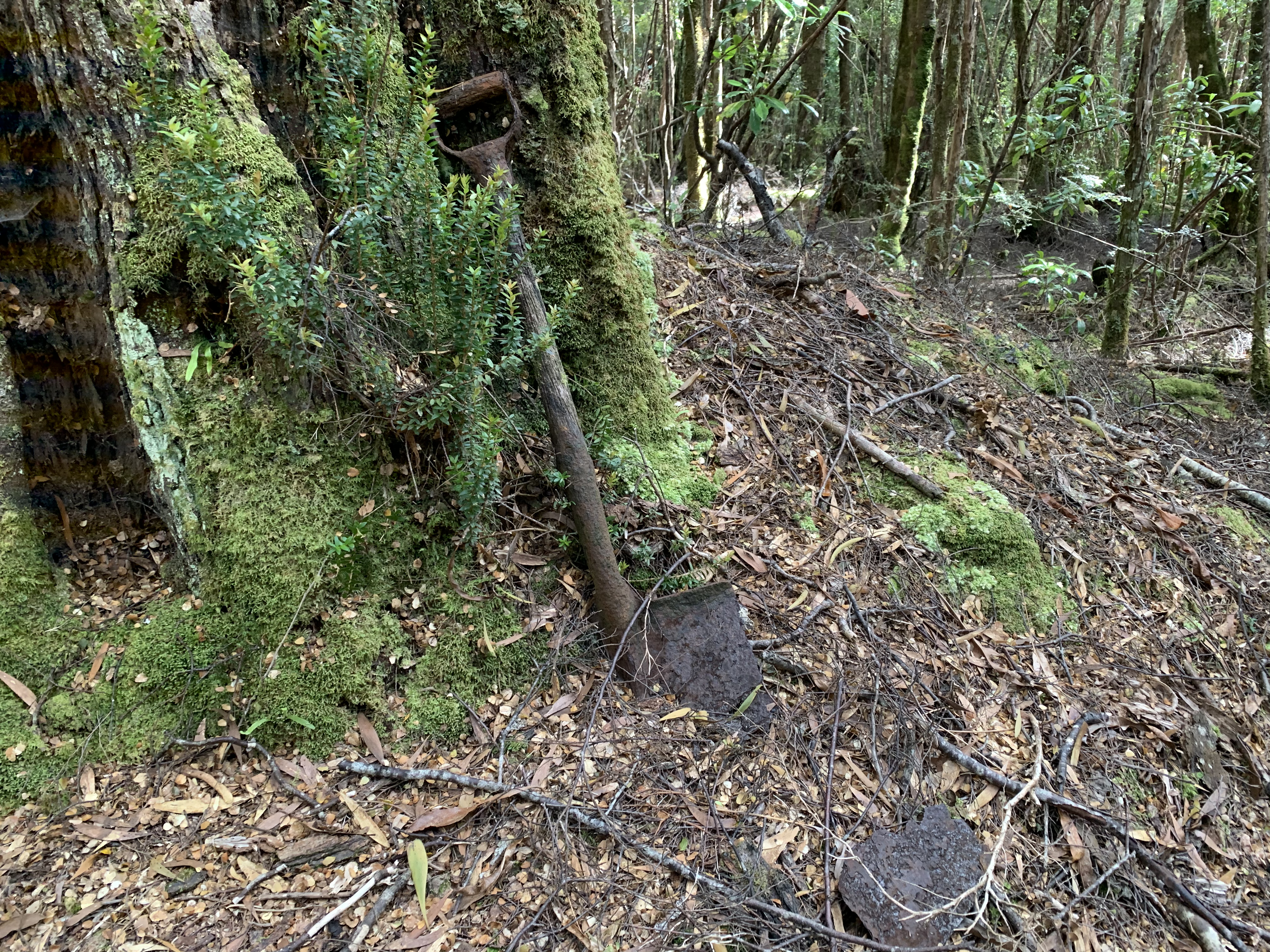
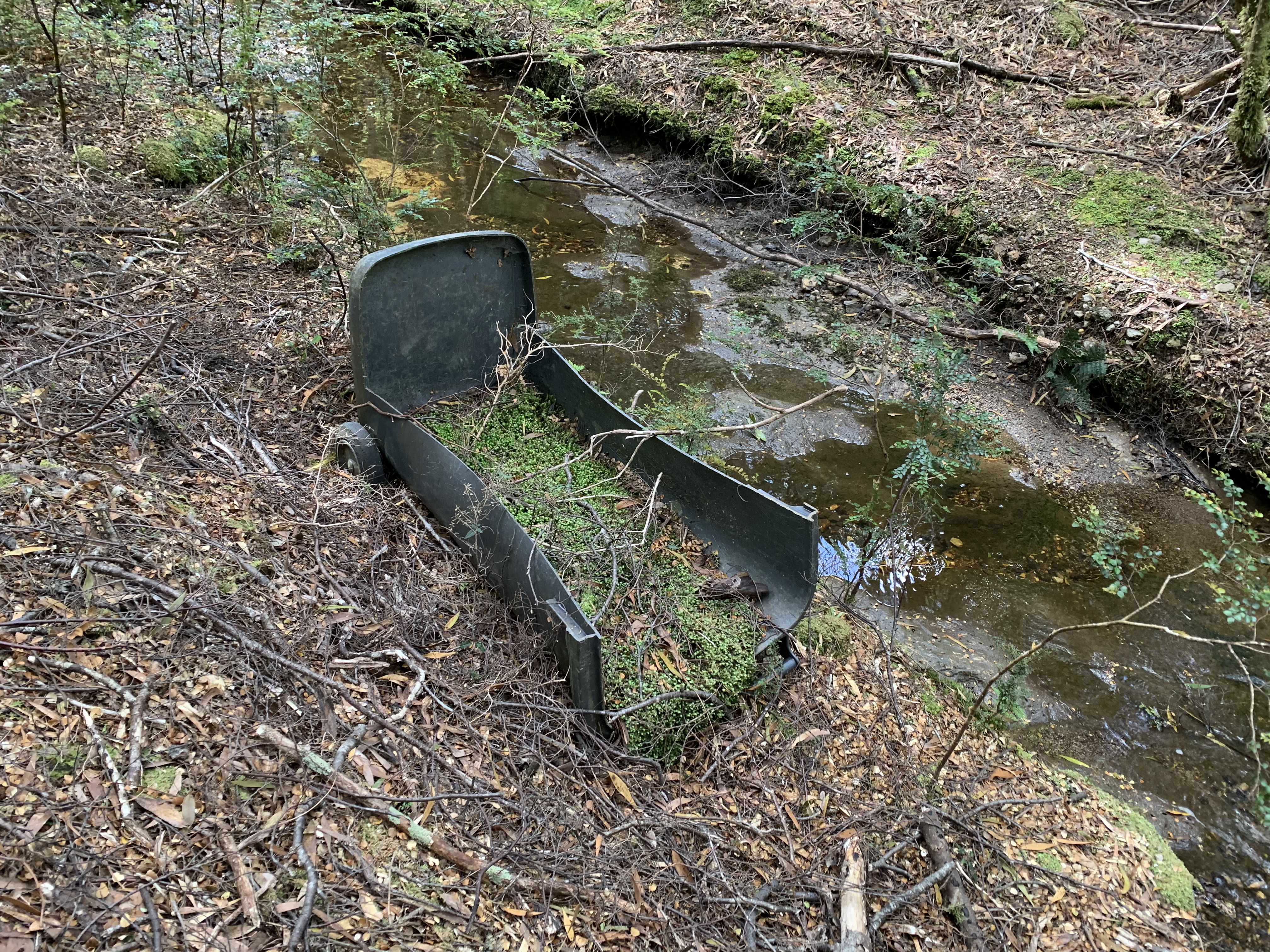
up- and downhills, at times quite steep with some tricky paths to
negotiate; forest, river and even industrial ruins. We later notice that we
were so captivated that we did not even take any pictures 😀.
Before dinner we prepare for our longest walk, to the Huskisson River. This is notionally a three-day walk, and was in our original plan as such. However, the weather is looking a bit unstable and we reckon that the walk should be doable in two somewhat tough days—we decide to take on the challenge.
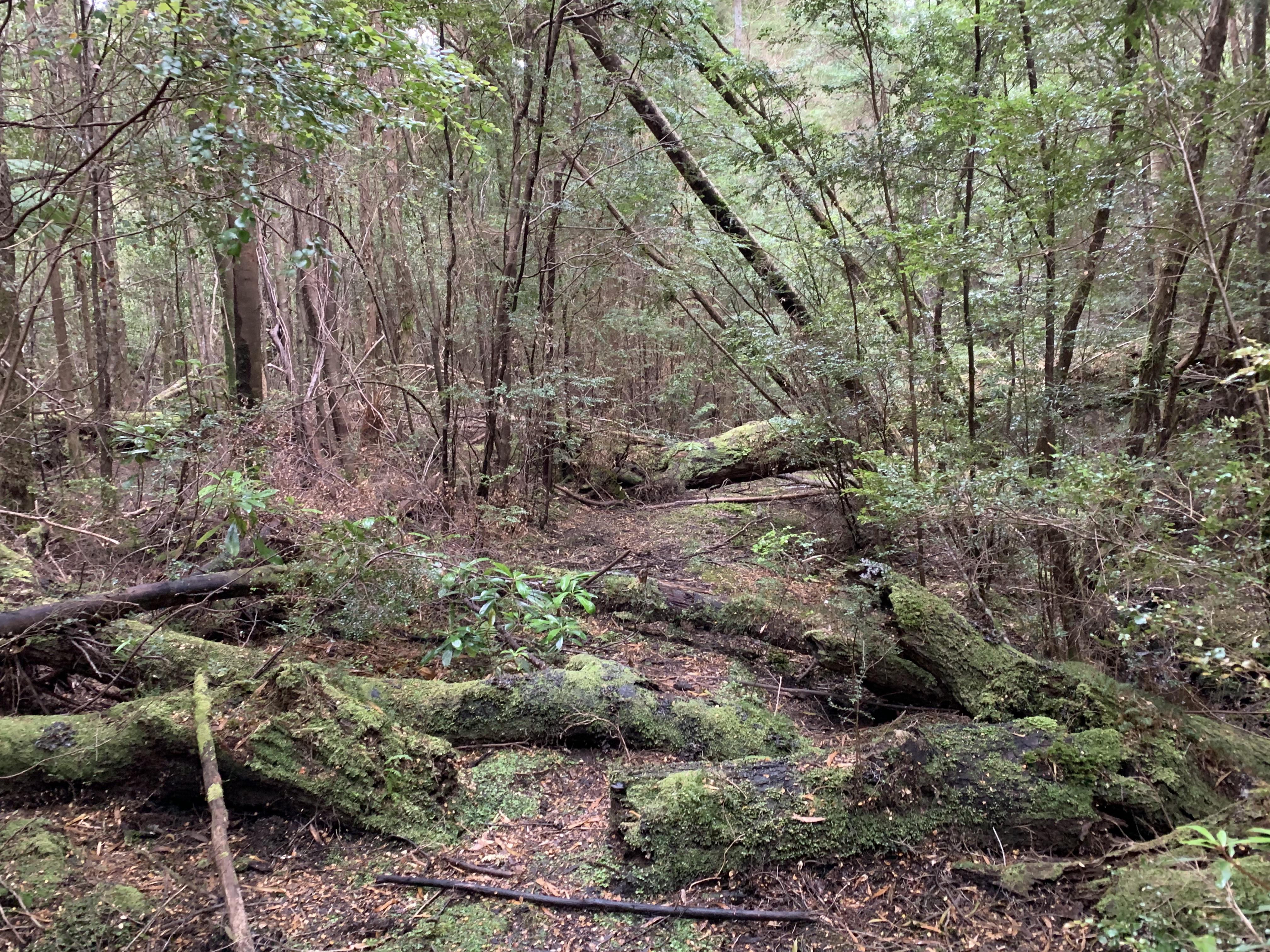
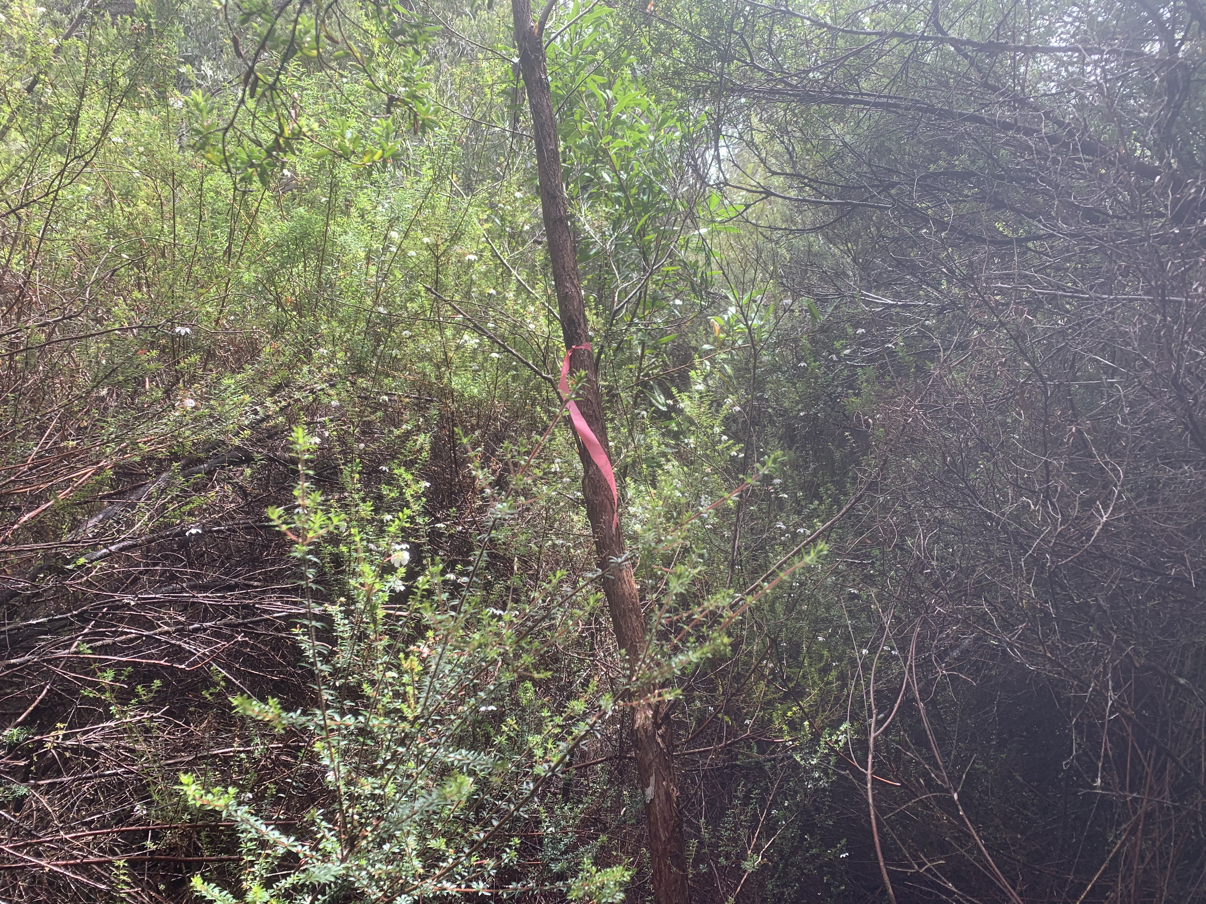
We get on our way in good time. Initially the walk is easy, along a disused 4WD track. After about half an hour the walking track seems to turn off and we follow a track that is ill-defined but clearly marked with the typical pink ribbons. However, after a couple km there are no more markers and the track ends in almost impenetrable bushland.
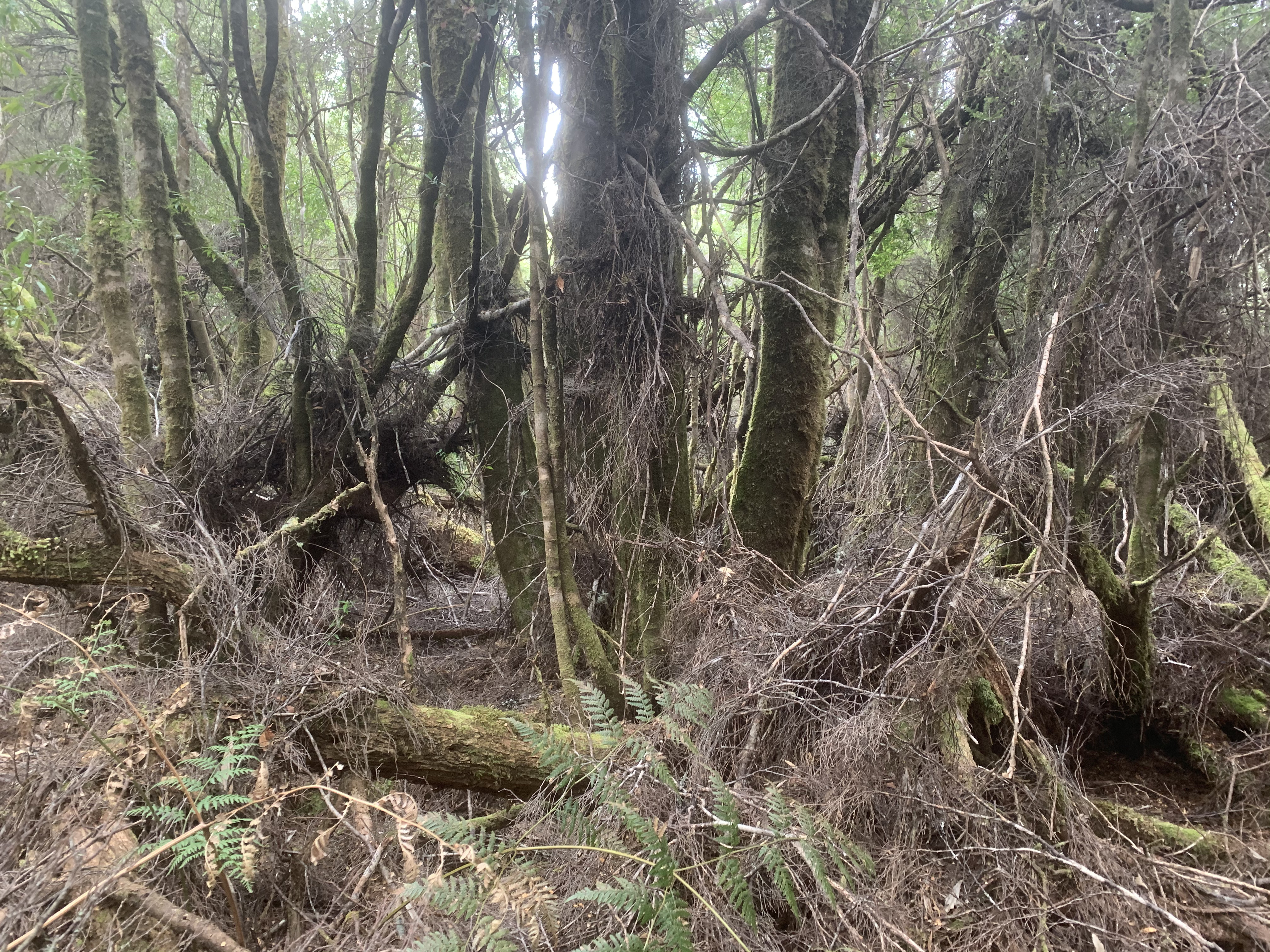
 After wasting some time (and energy) tying to locate an apparently
non-existing track, we backtrack to the old 4WD track. From there we
trust the map more than some spurious pink ribbon, and keep following
the 4WD track.
After wasting some time (and energy) tying to locate an apparently
non-existing track, we backtrack to the old 4WD track. From there we
trust the map more than some spurious pink ribbon, and keep following
the 4WD track.
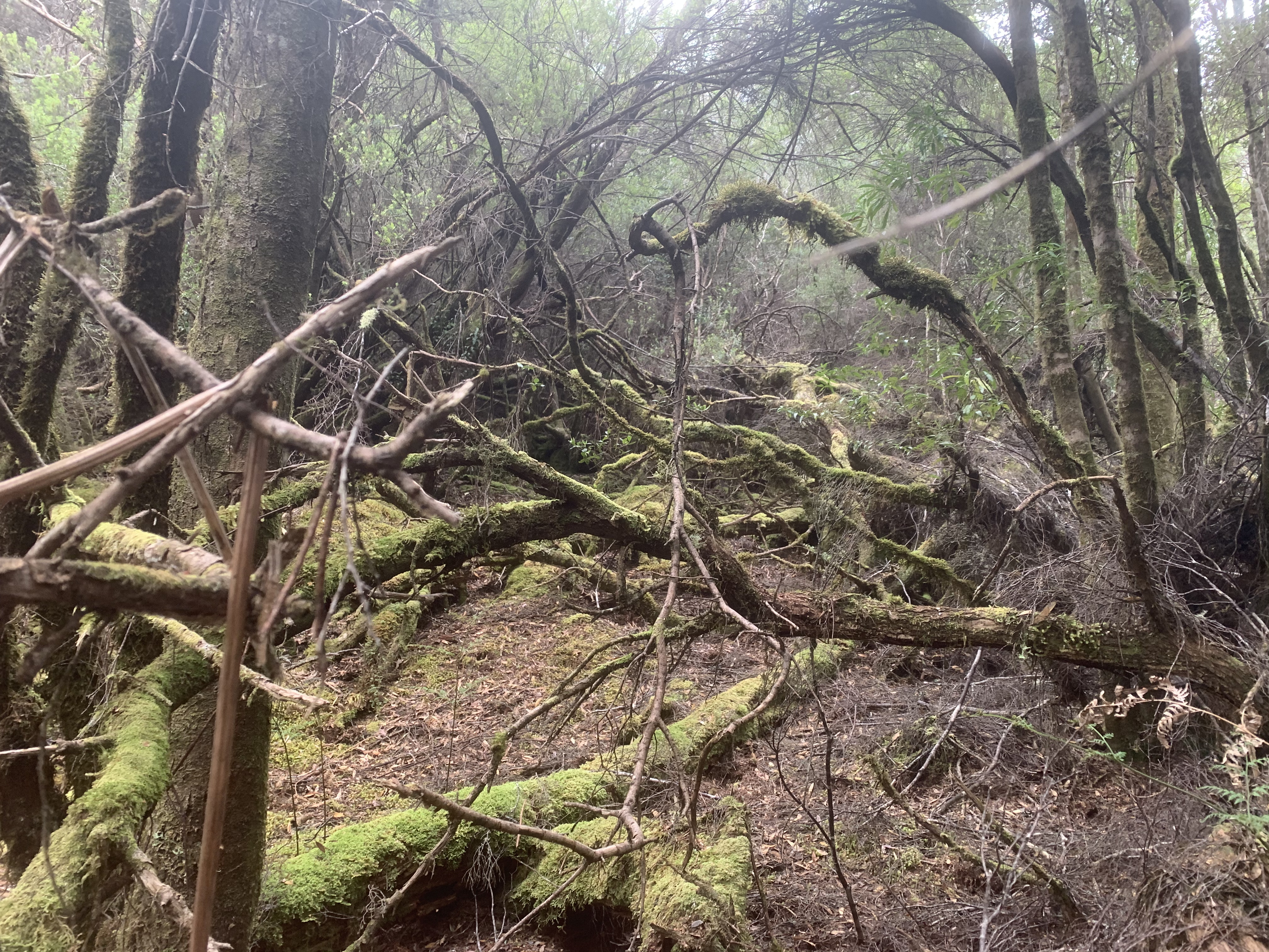
This non-productive side-trip has been quite taxing, as not only the path but also the weather turned bad: we have wasted a couple hours, getting thoroughly wet and physically and mentally tired. However, we can now claim a true wilderness bush-bashing experience!
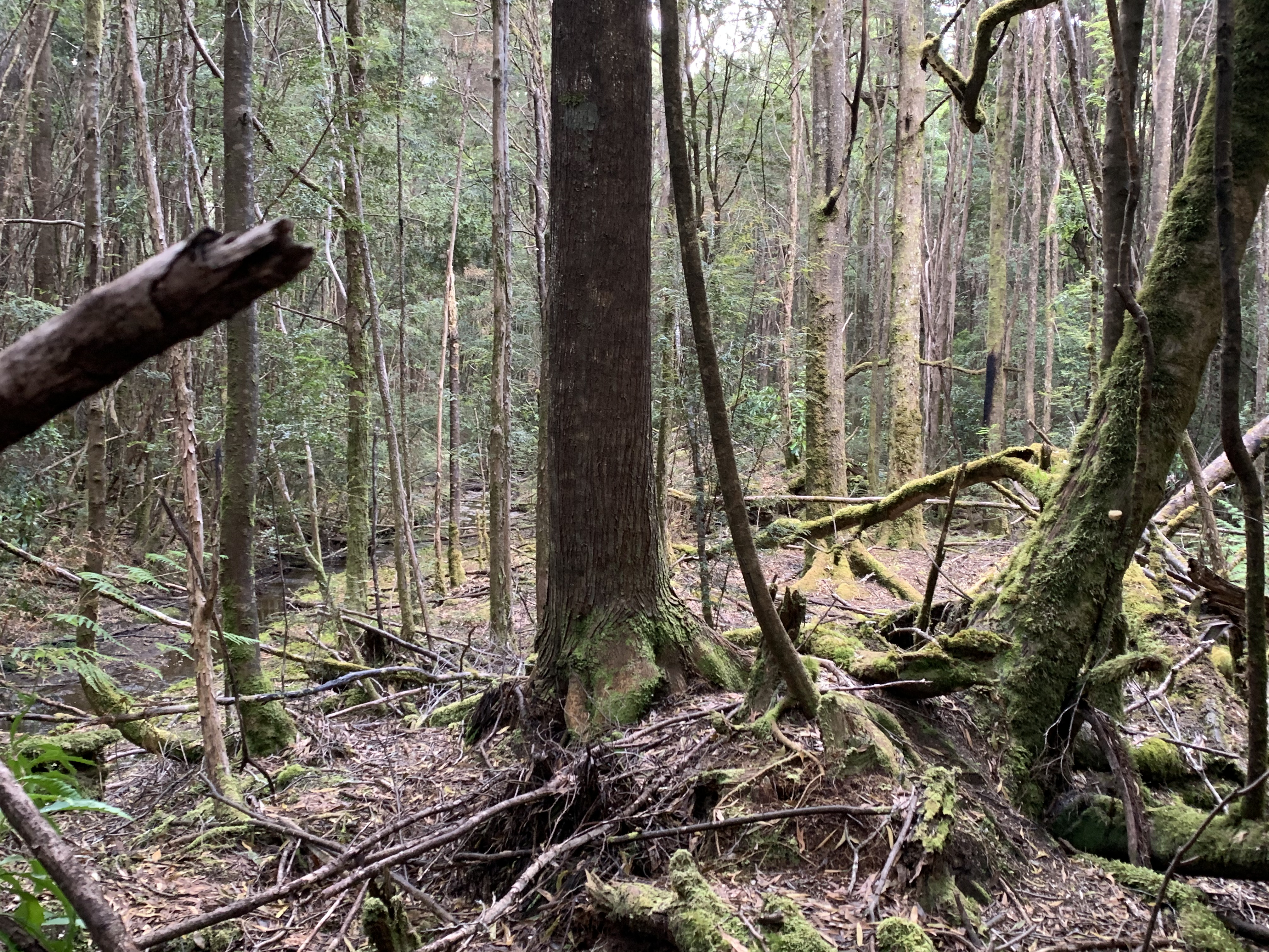
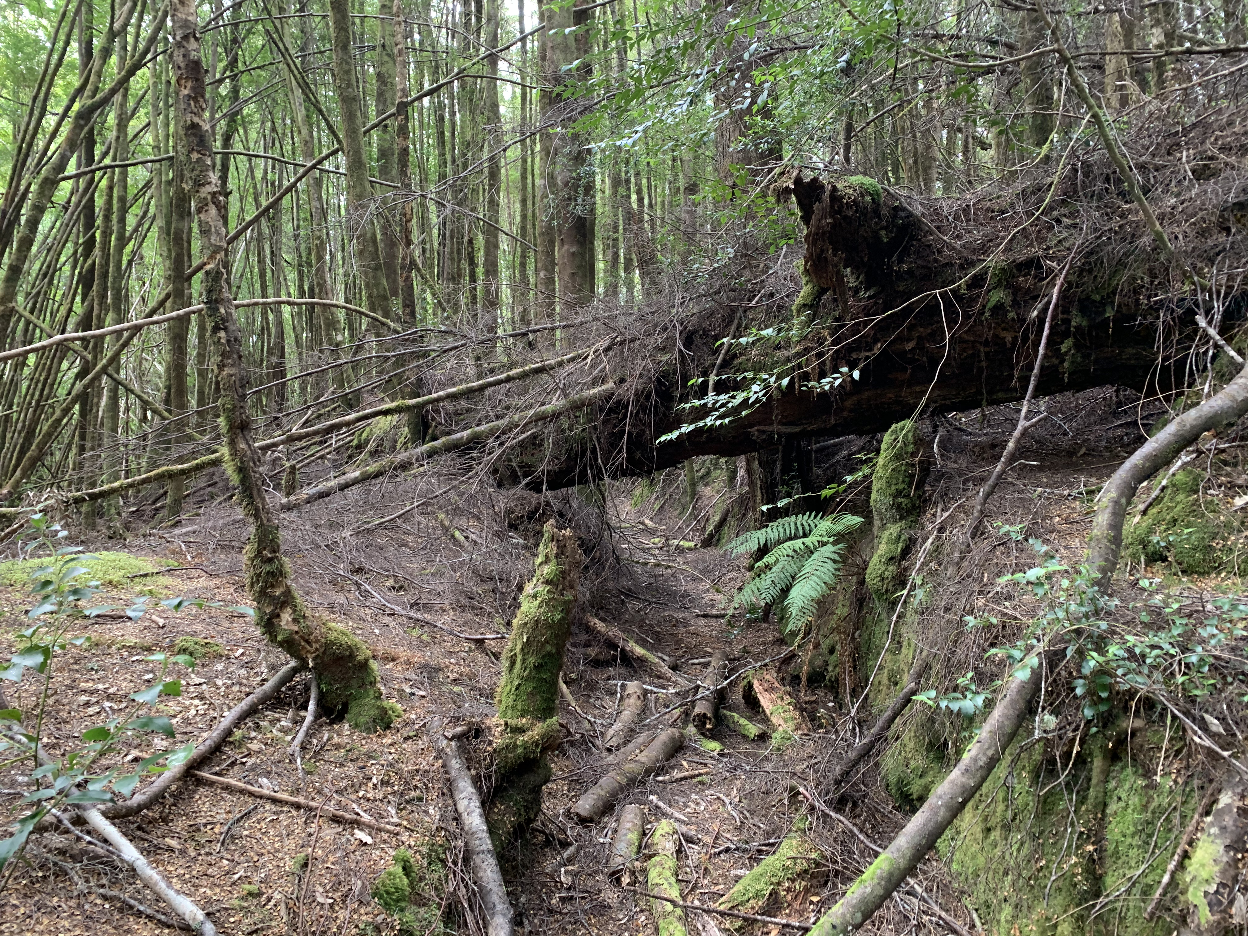
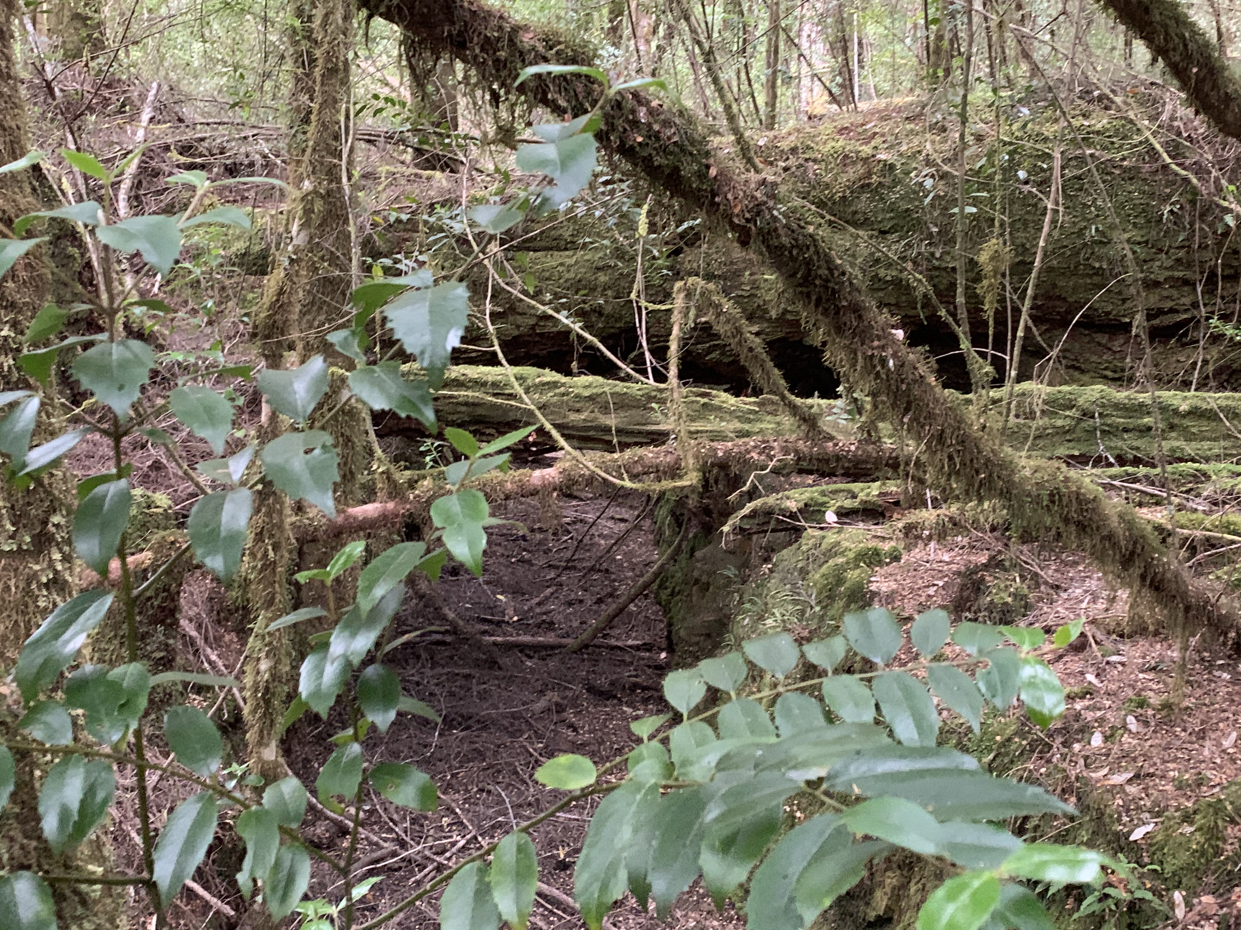
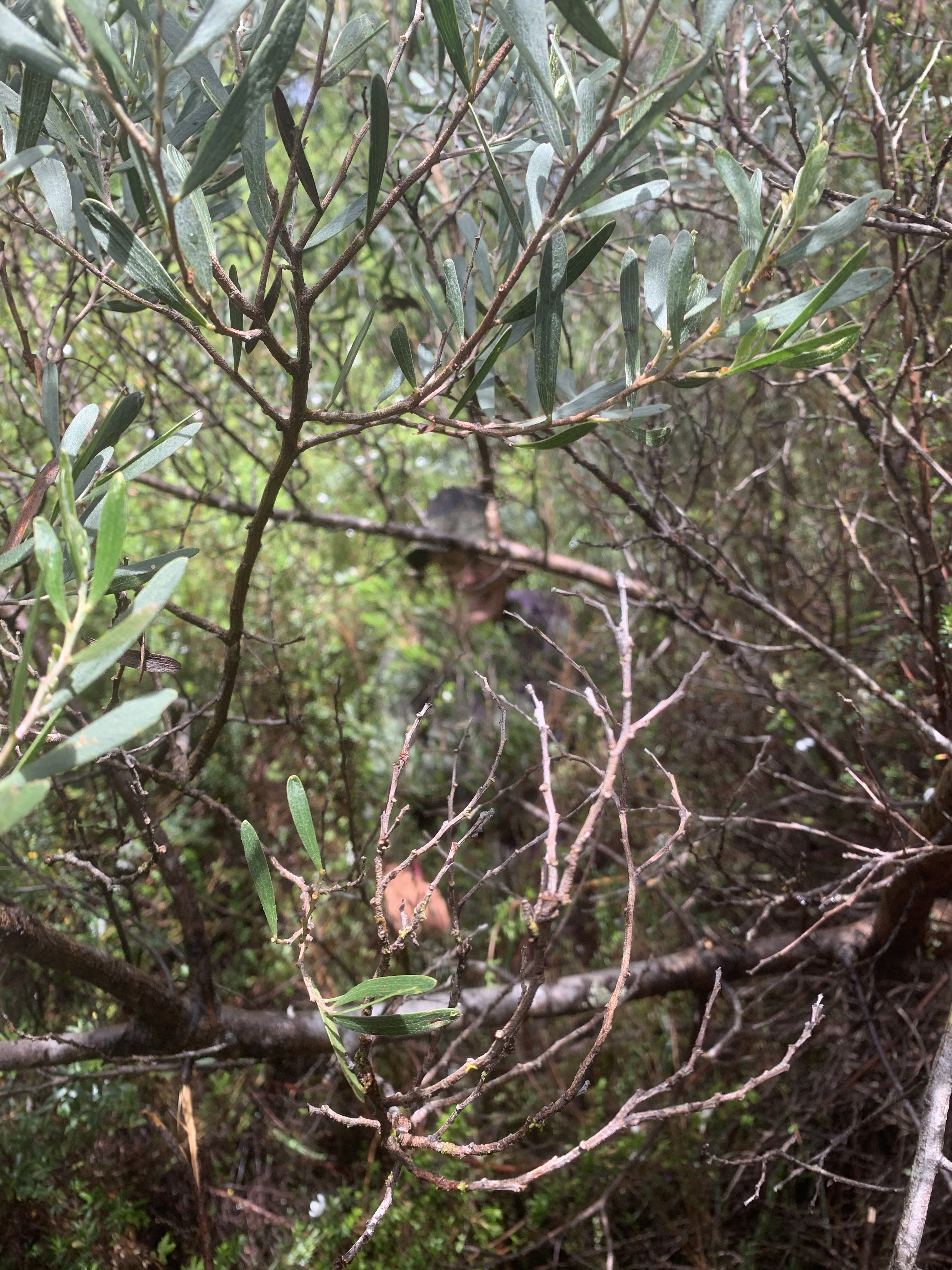
After this initial difficulty, we encounter no further problems. The track remains well-defined, with plenty of up-and-down through otherwise thick and essentially impassable rainforest on both sides.
After bypassing the summit of Mt Ramsay, the ups and downs become more moderate. We find our stride and once more enjoy being alone in that part of the spectacular Tarkine!
We finally reach our destination, where the track, kind of, crosses
the mighty and fast-flowing Huskisson River. It would be possible to
ford in in a 4WD, but for walkers crossing looks quite dangerous—good
thing that we never
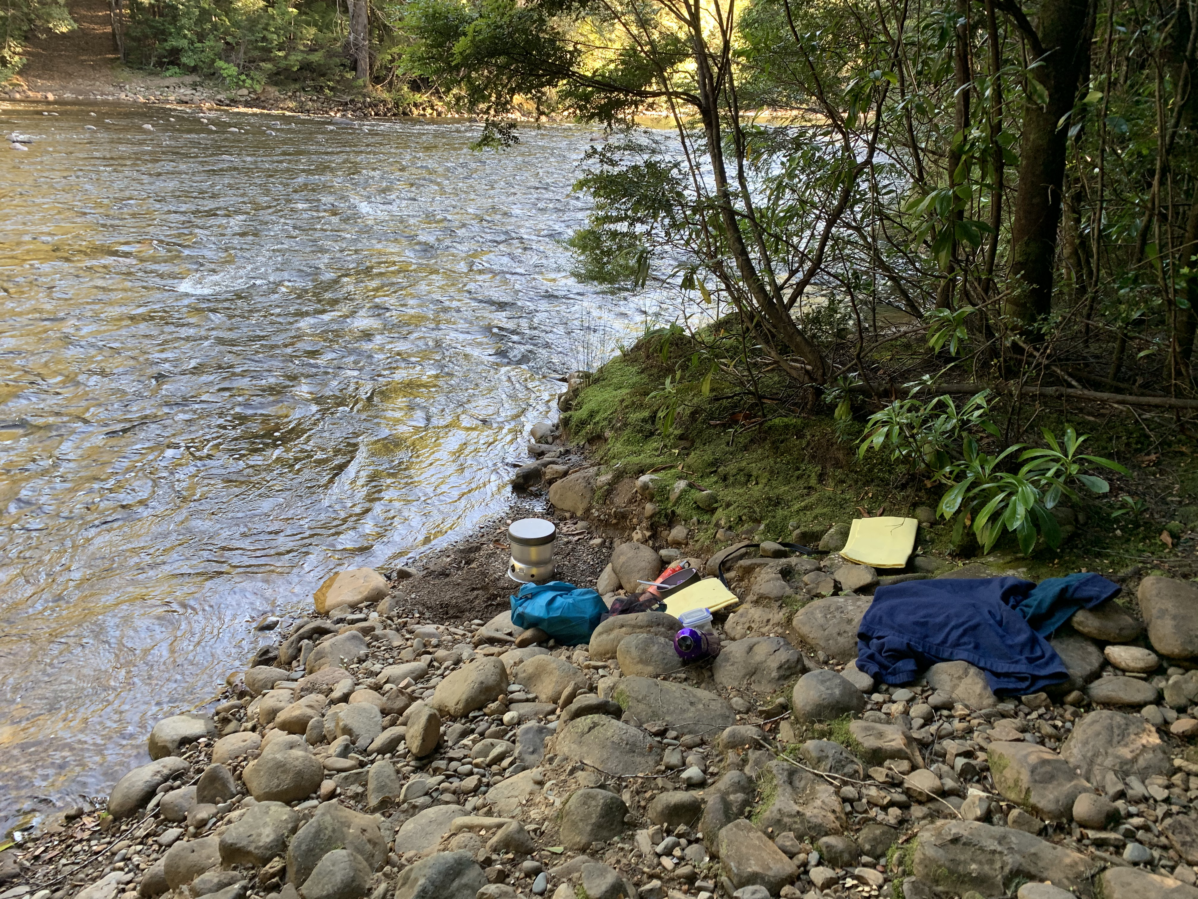
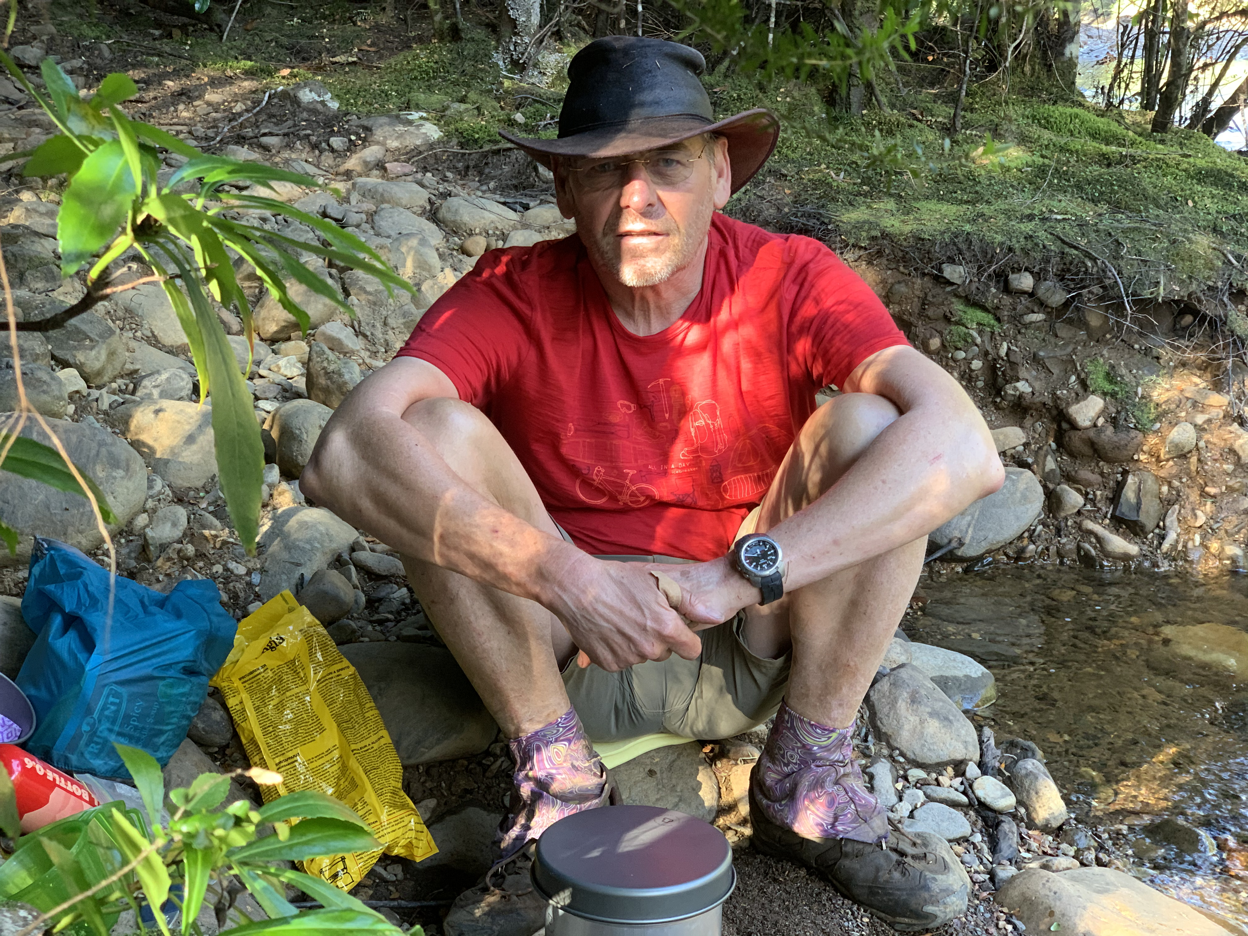 planned to get to the other side... It's actually a great spot to
set up camp! We pitch the tent some 100 metres back but cook and
eat dinner right at the edge of the river, enjoying the evening sun
peeking through the trees.
planned to get to the other side... It's actually a great spot to
set up camp! We pitch the tent some 100 metres back but cook and
eat dinner right at the edge of the river, enjoying the evening sun
peeking through the trees.
 Even though the walk back means retracing our steps, the world always
looks different from the other side. With benign weather and now
knowing the way and understanding the timing, we take our time to
walk the 21km in 8 hours, enjoying the many little creeks we cross
along the way.
Even though the walk back means retracing our steps, the world always
looks different from the other side. With benign weather and now
knowing the way and understanding the timing, we take our time to
walk the 21km in 8 hours, enjoying the many little creeks we cross
along the way.
The only notable event is first hearing the noise of a chainsaw, until we come across a guy in a 4WD trying to make his way through there. With several fairly sizeable trees having fallen across the track we wish him luck, while hoping he won't make it through: The track is so much nicer without cars.
By late afternoon we are back in Waratah. We take a hot shower, repack for travel the next day (the journal for the remaining, upcoming days continues here), get a decent feed and drink and fall asleep in no time at all—a couple tired, but satisfied and very happy campers!
Return to main page of Tassie Tour 2019–20