Walk Journal
Friday 3 September to Saturday 18 September 2004
- Stuart Highway to Simpsons Gap
- Simpson Gap to Jay Creek
- Jay Creek to Standley Chasm
- Standley Chasm to Birthday Waterhole
- Birthday Waterhole to Hugh Gorge
- Hugh Gorge to Rocky Gully
- Rocky Gully to Ellery Creek
- Ellery Creek to Serpentine Gorge
- Serpentine Gorge to the Ochre Pits
- Ormiston Gorge Circuit Walk and Desert Festival
- Ormiston Gorge to Glen Helen
- Glen Helen to Redbank Gorge
- Redbank Gorge to Mt Sonder and back
- Tylers Pass and Gosse Bluff
- Palm Valley Circuit Walks
- Return to Town
Day 1, Friday 3 September 2004
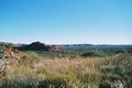
Section 1: Stuart Highway to Simpsons Gap
Day: 19km; Total: 19km
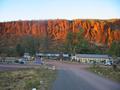
The walk officially starts at the Old Alice Springs Telegraph Station
about 1.5km north of town. However, in order to ease into the whole
exercise a bit better, we commenced about 5km into the official walk at
Geoff Moss Bridge, where the trail crosses the Stuart Highway about 3km
north of Alice.
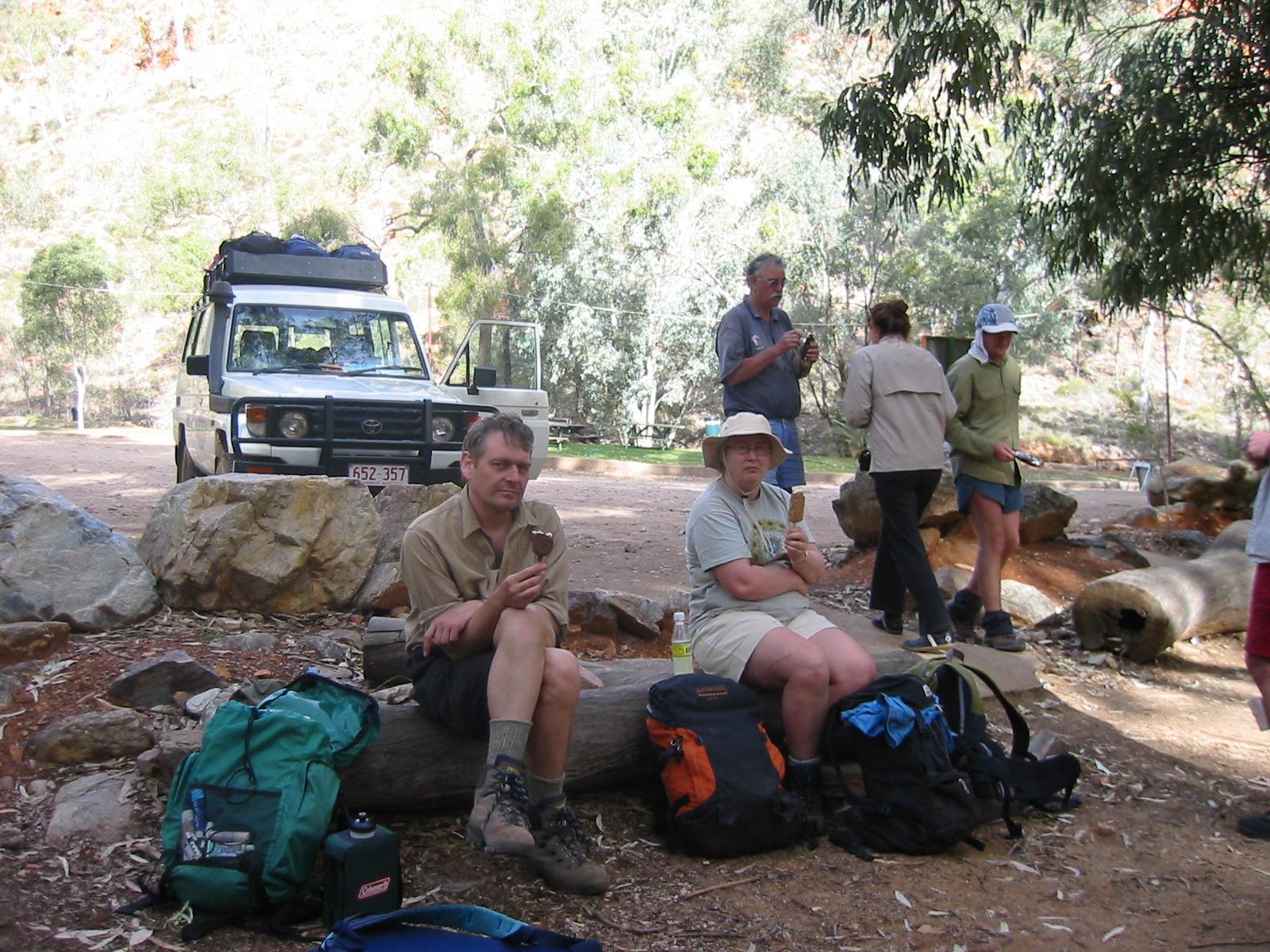
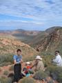
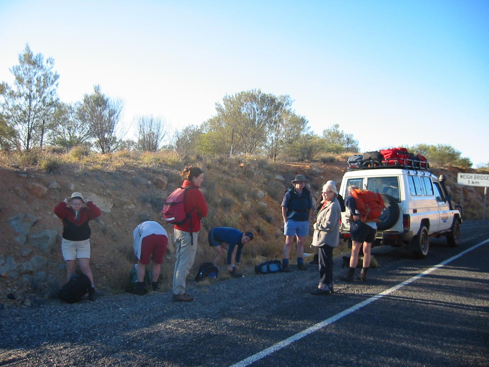
 Penny dropped off eight of us: Steve, Bob, Jan, Mary&Ron, Karen, and
Gernot&Trudy. Everyone is equipped with light day packs containing
essentials like water and camera and luxuries like morning tea and
lunch. While we start our walk, Penny drives back to Alice to meet up
with Anne for shopping and packing of all the camping and cooking gear.
Penny dropped off eight of us: Steve, Bob, Jan, Mary&Ron, Karen, and
Gernot&Trudy. Everyone is equipped with light day packs containing
essentials like water and camera and luxuries like morning tea and
lunch. While we start our walk, Penny drives back to Alice to meet up
with Anne for shopping and packing of all the camping and cooking gear.
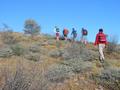
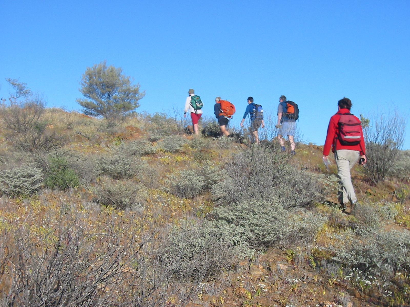
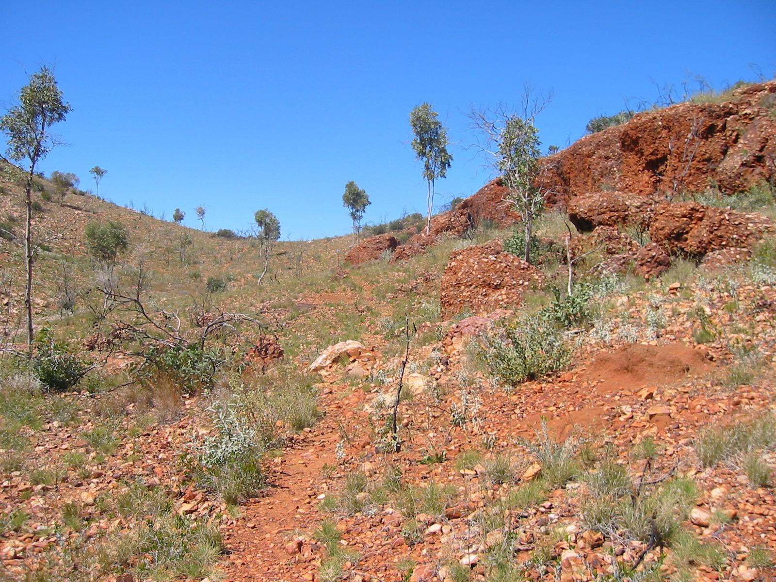
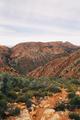
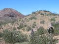
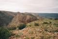
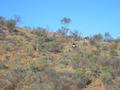 The track takes us at 90° away from the highway, up some hills over
typical semi-arid soil with plenty of scrub thanks to some recent winter
rain.
The track takes us at 90° away from the highway, up some hills over
typical semi-arid soil with plenty of scrub thanks to some recent winter
rain.
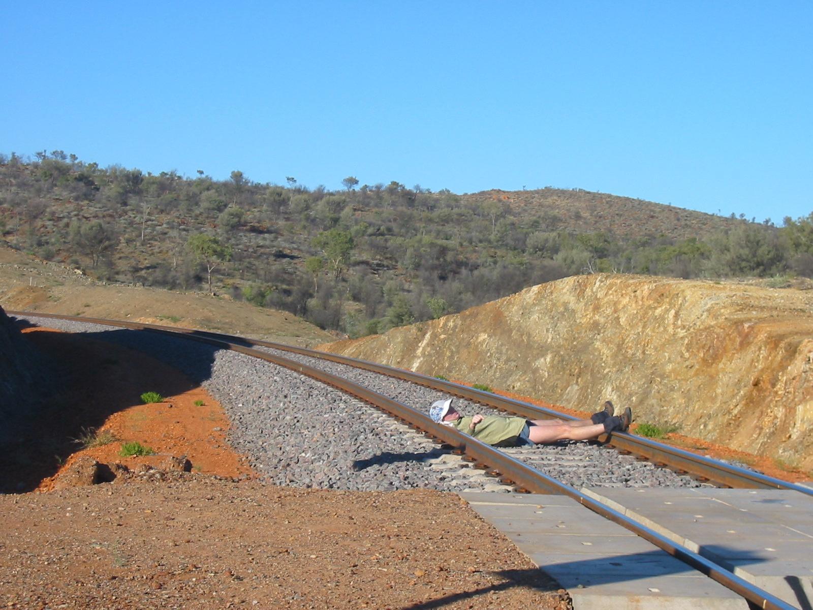
 Soon, we are crossing the last obvious sign of human civilisation — our
latest engineering feast and completion of a century-old project: the
Alice Springs to Darwin railway.
Soon, we are crossing the last obvious sign of human civilisation — our
latest engineering feast and completion of a century-old project: the
Alice Springs to Darwin railway.
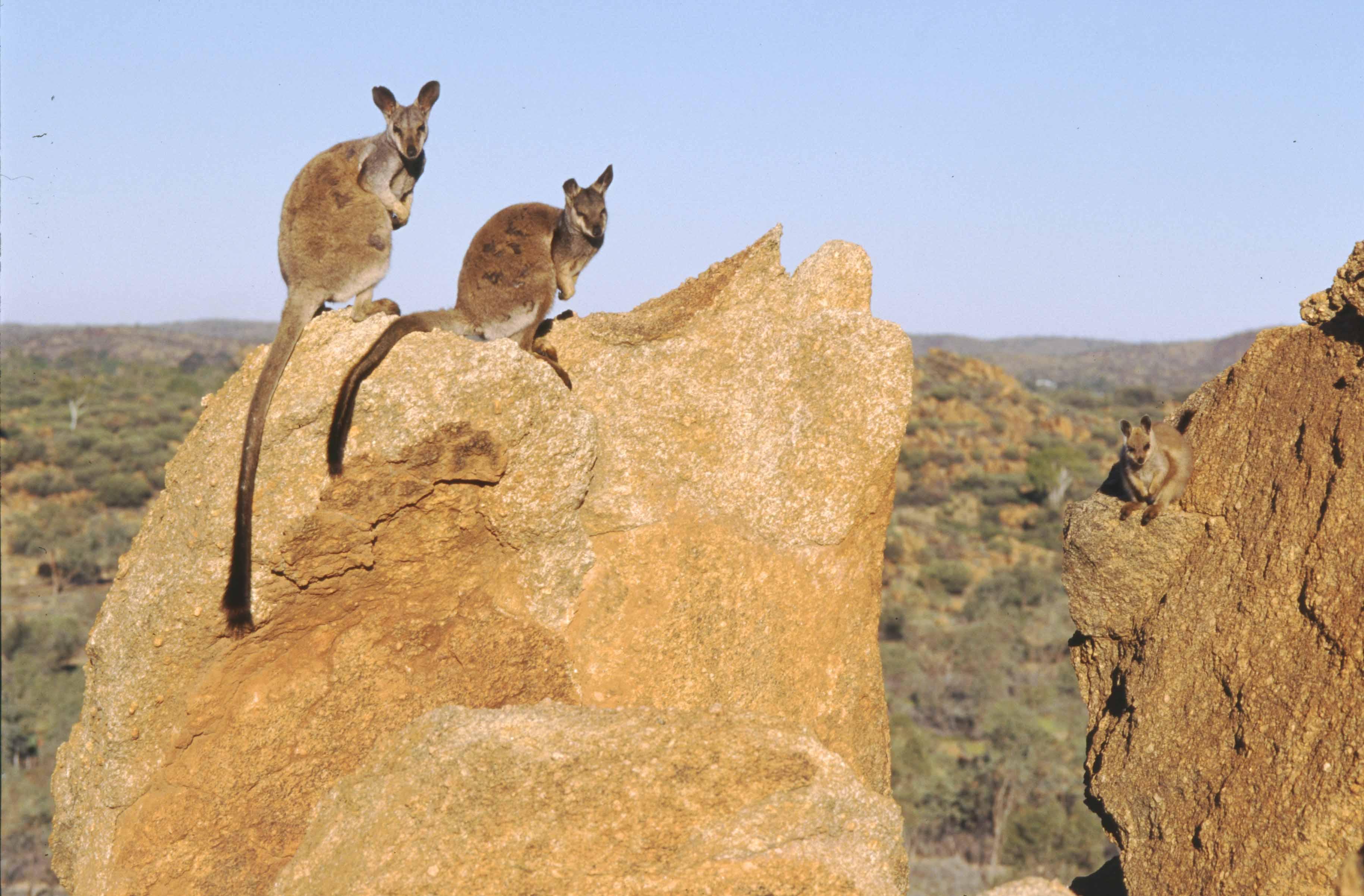
 We are treated to a surprising amount of wild life: at least four
kangaroo sightings in the first hour of walking!
We are treated to a surprising amount of wild life: at least four
kangaroo sightings in the first hour of walking!
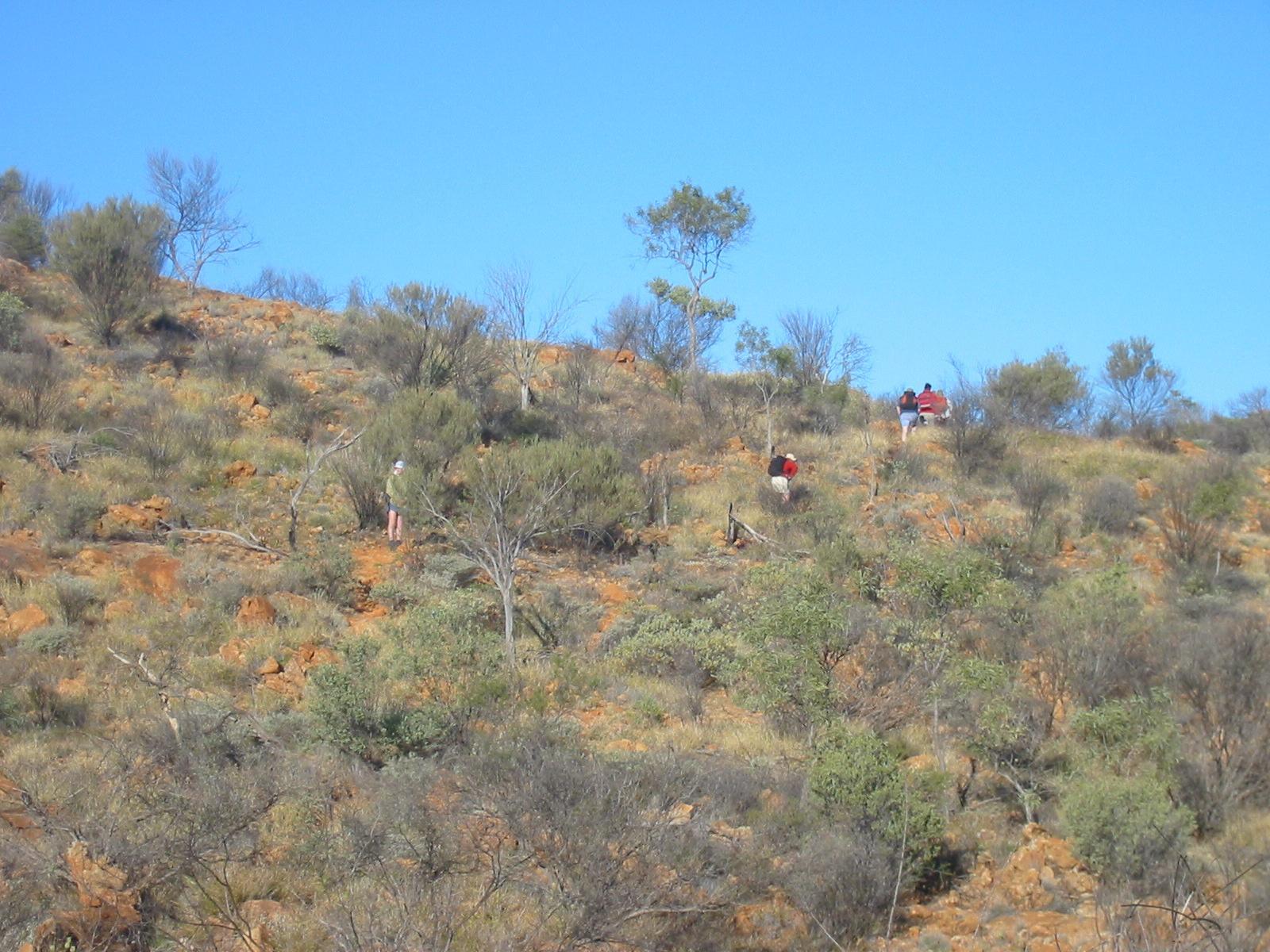
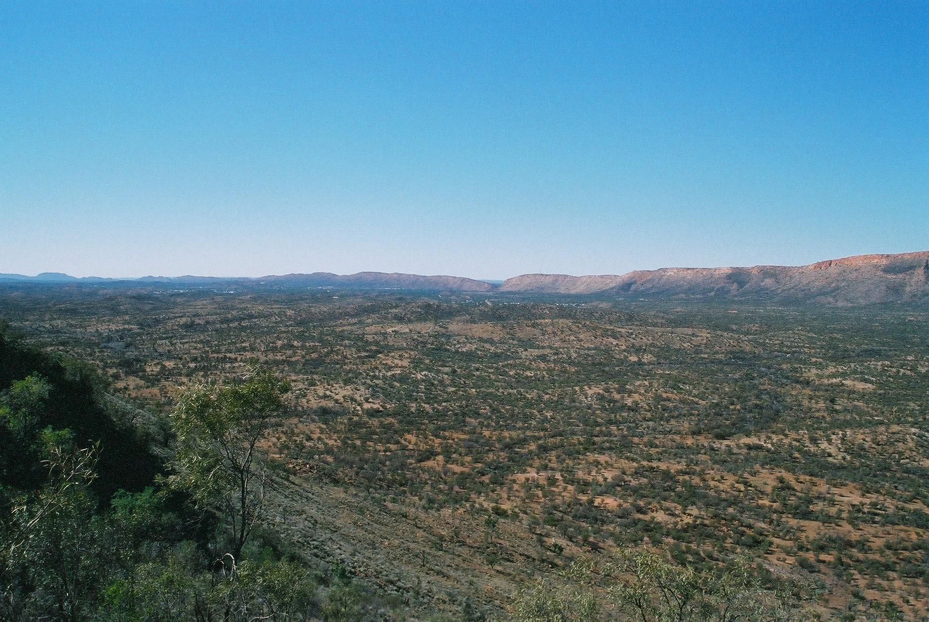
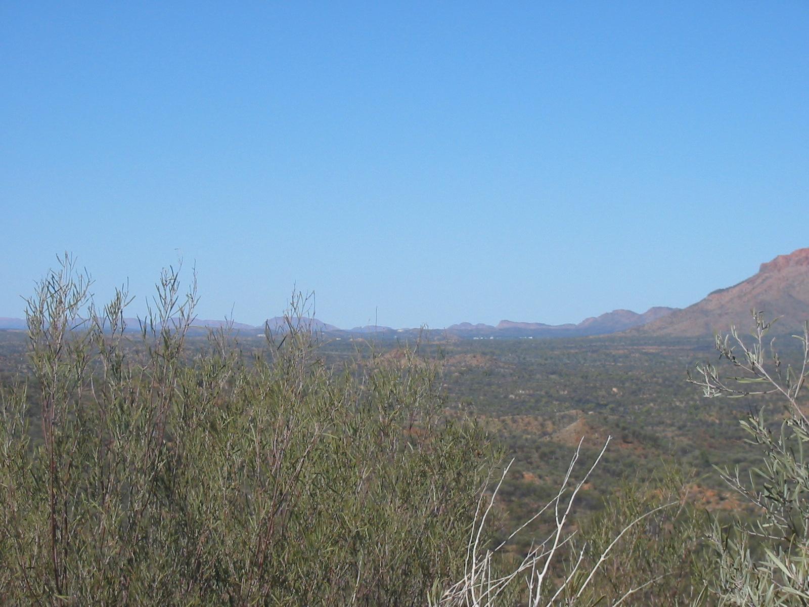
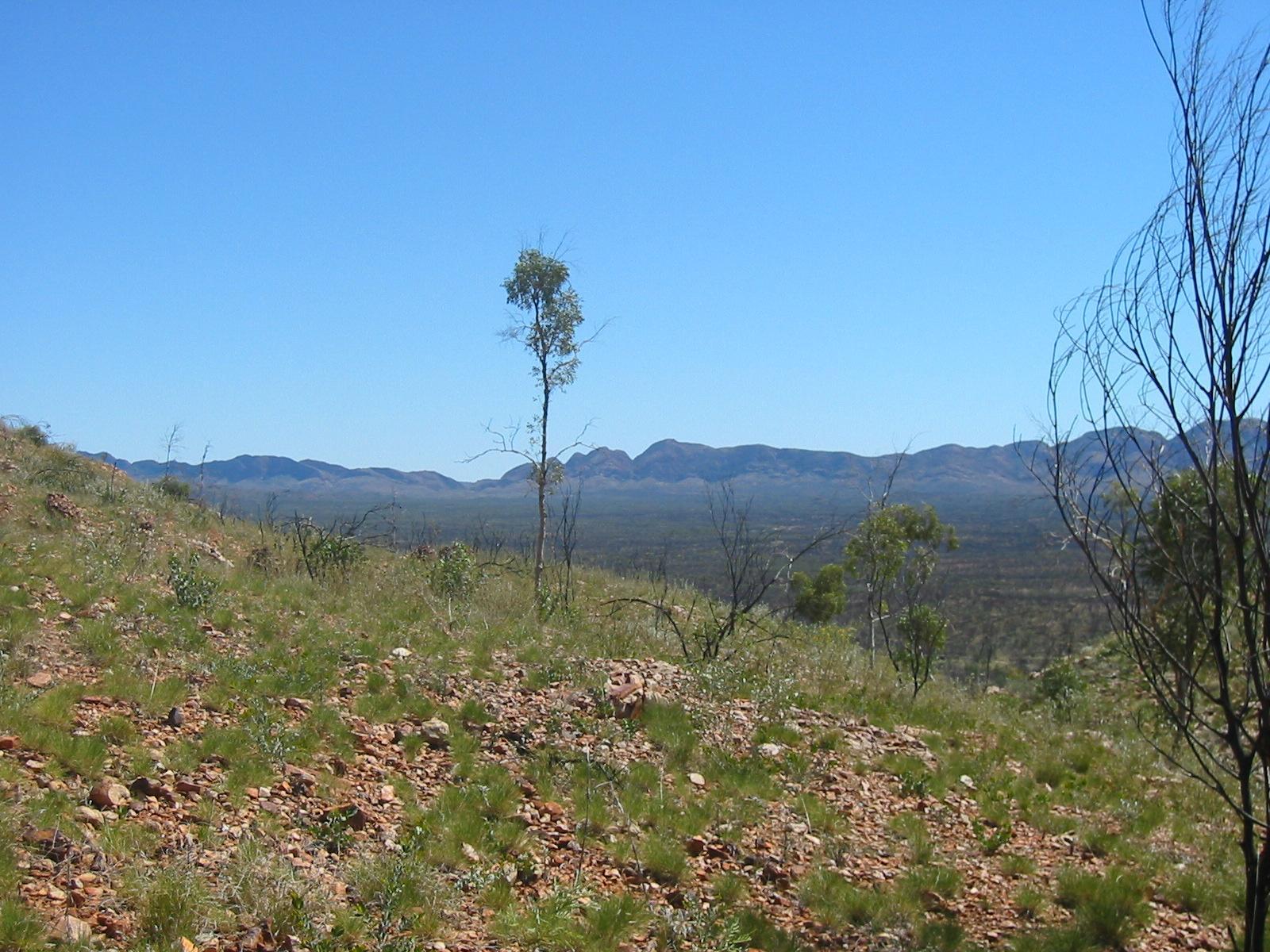
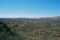 Occasionally we climb a hilltop or ridge affording us a view back to
Alice, getting smaller and smaller each time...
Occasionally we climb a hilltop or ridge affording us a view back to
Alice, getting smaller and smaller each time...


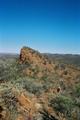
 The last such view is from Euro Ridge (which has nothing to do with the
European currency — euro is a common name for the wallaroo).
The last such view is from Euro Ridge (which has nothing to do with the
European currency — euro is a common name for the wallaroo).
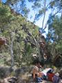
Soon after we have an early lunch stop (before 11am, we only walked
about 8.5km which took us less than two hours) at Wallaby Gap. This has
a water tank and even a composting toilet, and is the place to camp for
those doing the section in two days.
 The track in this part is very easy, generally cleared of rocks and
plants, and we make good progress (over 5km/h) before lunch. The locals
don't normally walk this section, calling it “boring like bat
shit”. We reckon this is unfair, as there is plenty of nice scenery
(but, of course, it's Alice Springs scenery).
The track in this part is very easy, generally cleared of rocks and
plants, and we make good progress (over 5km/h) before lunch. The locals
don't normally walk this section, calling it “boring like bat
shit”. We reckon this is unfair, as there is plenty of nice scenery
(but, of course, it's Alice Springs scenery).
After lunch it gets warmer (although the official maximum for the day is
less than 19° but the sky is clear and the sun is strong and
reflects off the rocks) and we slow down to about 4km/h.
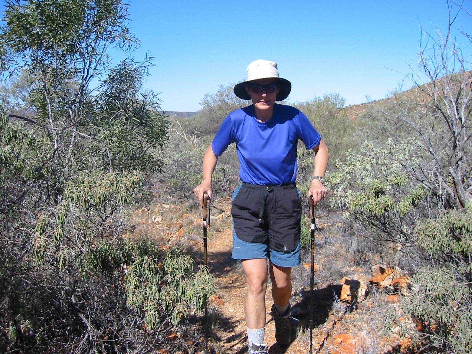
On the last kilometer (which goes slightly downhill) Gernot develops his old
knee problem, which really worries him, given that the day's walk was
really easy. However, he did forget to take his walking sticks along
(they are in the big backpack sitting on the roof of the car, where they
are really useful!) so he can't unload his knee as he usually
does on downhill bits. He should know better.

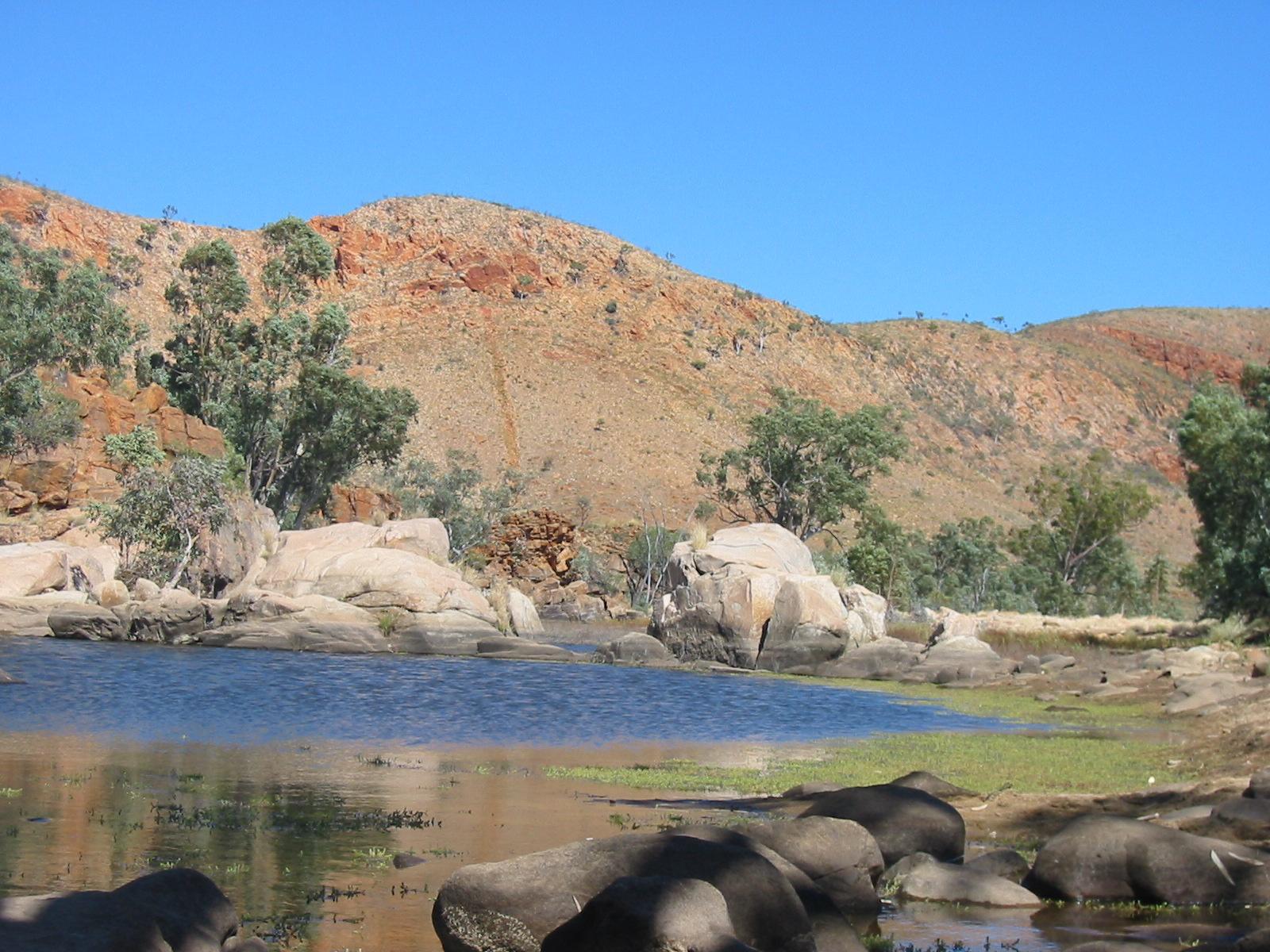
 We reach Simpsons Gap between 2pm and 3pm, where Penny, Anne and the car
await us. Road access is from the South, via Larapinta Drive. It is
obviously a popular site, which is not surprising given its proximity to
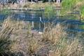
Alice. It is a very beautify river bed with a waterhole in the gap
and known to be a good place to see Rock Wallabies (although we don't
see any).
We reach Simpsons Gap between 2pm and 3pm, where Penny, Anne and the car
await us. Road access is from the South, via Larapinta Drive. It is
obviously a popular site, which is not surprising given its proximity to
Alice. It is a very beautify river bed with a waterhole in the gap
and known to be a good place to see Rock Wallabies (although we don't
see any).
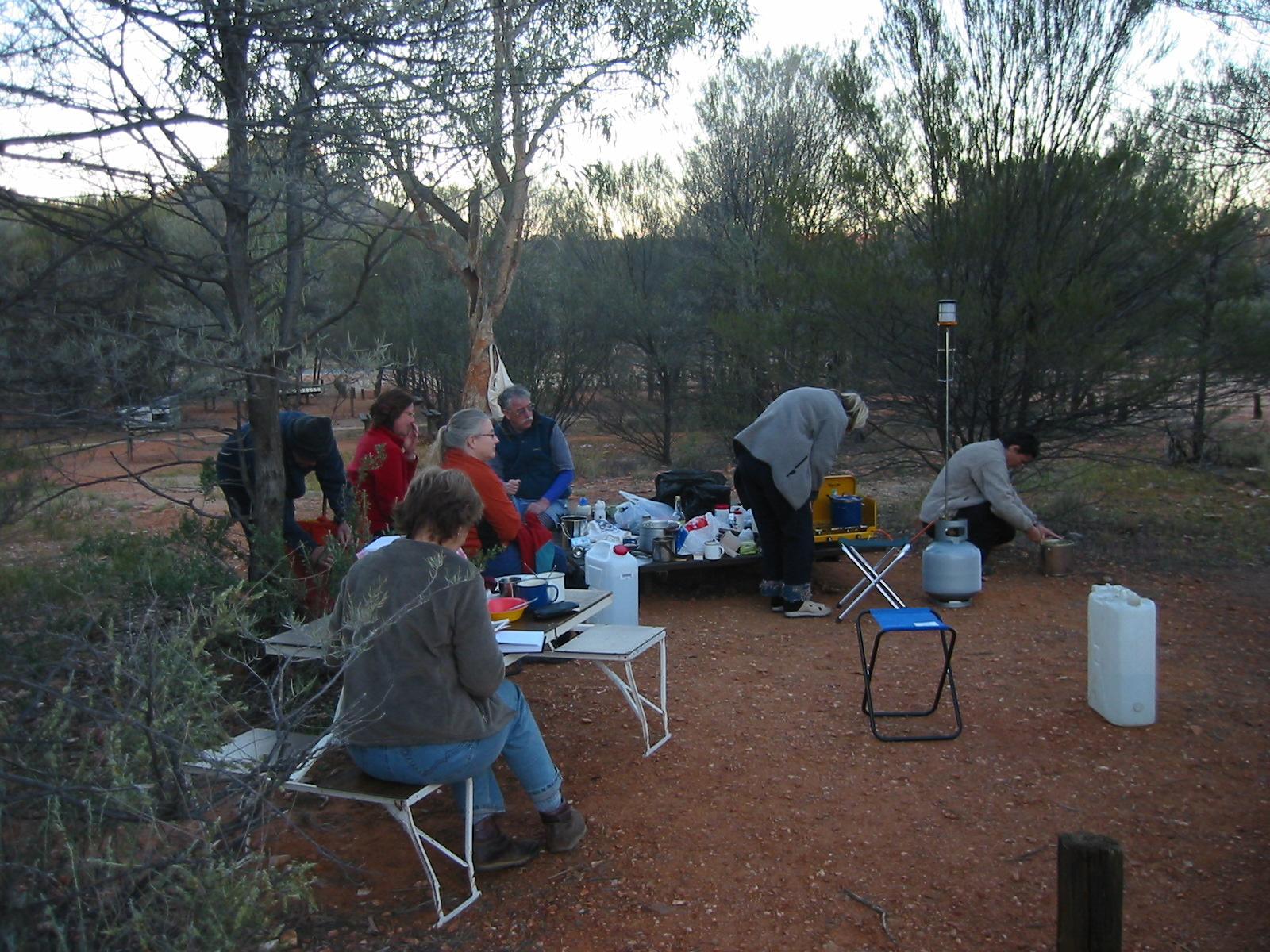
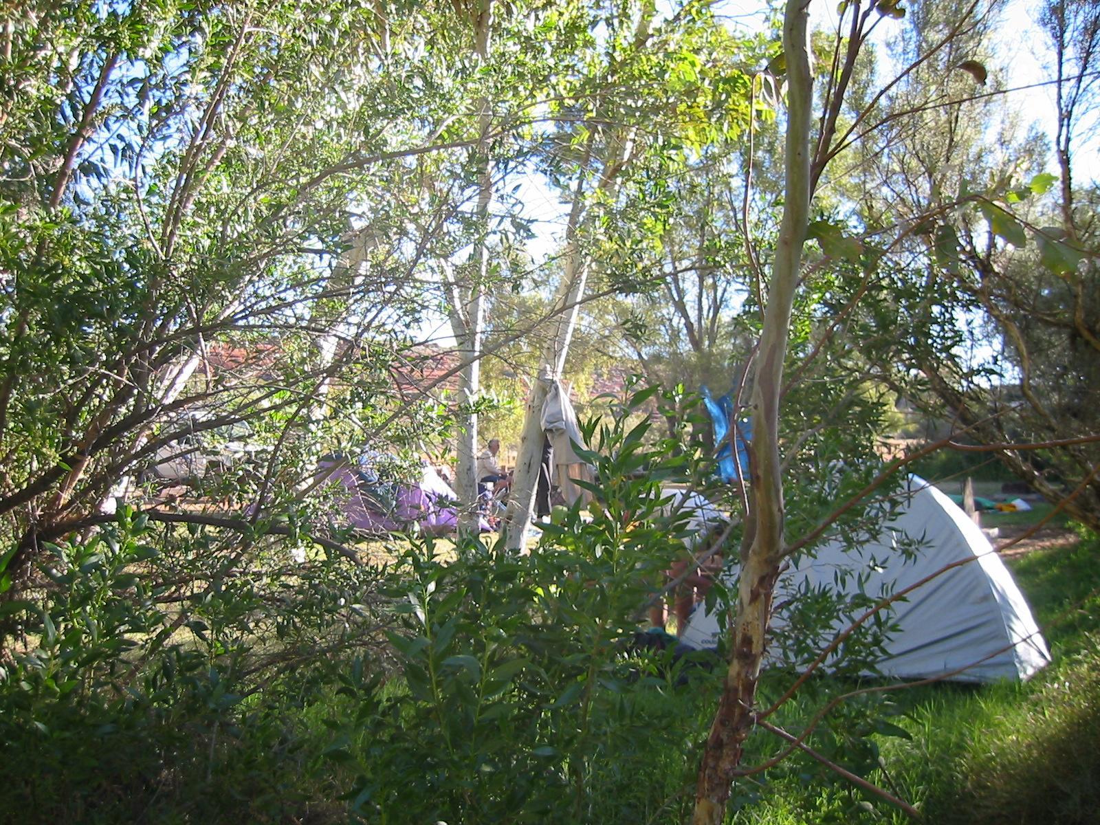
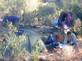
 By sunset the day tourists are gone and we have the place to ourselves,
for our first camp.
By sunset the day tourists are gone and we have the place to ourselves,
for our first camp.
Day 2, Saturday 4 September 2004
Section 2: Simpson Gap to Jay Creek
Day: 25.5km; Total: 44.5km
We wake up a bit chilled, it has been a cold night (2.1° is the official
minimum, observed at Alice Springs Airport, ASP). Today Steve is staying
with Penny and the car, with the other 8 walking.
 After an 8:40 start
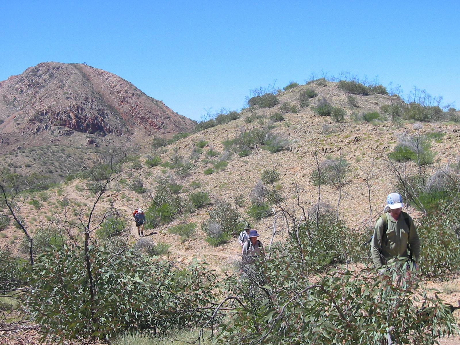
we walk in the plain alongside the ridge, through landscape that isn't as
exciting as the previous day's, but there are some creek beds with
beautiful river gums.
After an 8:40 start
we walk in the plain alongside the ridge, through landscape that isn't as
exciting as the previous day's, but there are some creek beds with
beautiful river gums.
Trudy is developing into the senior kangaroo
spotter (could have something to do with her walking at the front most
of the morning).

 We have lunch at Mulga Camp, which is again a half-way camping point
with a water tank for those doing the section in two days. Trudy
isn't only good at spotting roos, at lunch she notices a beautiful
kingfisher in a nearby tree.
We have lunch at Mulga Camp, which is again a half-way camping point
with a water tank for those doing the section in two days. Trudy
isn't only good at spotting roos, at lunch she notices a beautiful
kingfisher in a nearby tree.
 We cover a lot of distance today (second-longest day distance-wise) but
the track is still easy and walking is pleasant. However, during the
afternoon Trudy develops a serious problem with her right knee,
something highly unusual for her. She has problems walking up or down
even the slightest slopes. Gernot, whose knee is holding up surprisingly
well, trades his walking sticks for Trudy's backpack from Spring Gap.
We cover a lot of distance today (second-longest day distance-wise) but
the track is still easy and walking is pleasant. However, during the
afternoon Trudy develops a serious problem with her right knee,
something highly unusual for her. She has problems walking up or down
even the slightest slopes. Gernot, whose knee is holding up surprisingly
well, trades his walking sticks for Trudy's backpack from Spring Gap.
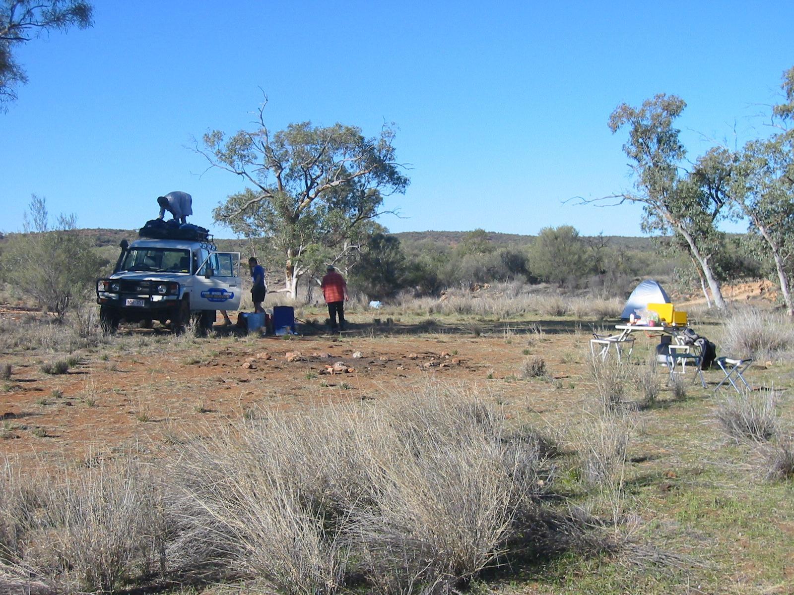
The official end of the section is Jay Creek camp site. There are a
couple of other Larapinta Trail walkers staying there, but so far we
haven't actually met anyone else on the track. The camp site is not
accessible by car, so we meet Penny and Steve about 700m away at the
gate which marks the National Park boundary. This time the access is
from the North, via Tanami Road, so the car had to go back via
Alice.
 We camp in what's essentially a cow paddock. Consequently the flies
are out in force, and there is cow shit everywhere. Other than that it's
actually a nice camp ground (and the fly problem is unlikely to be
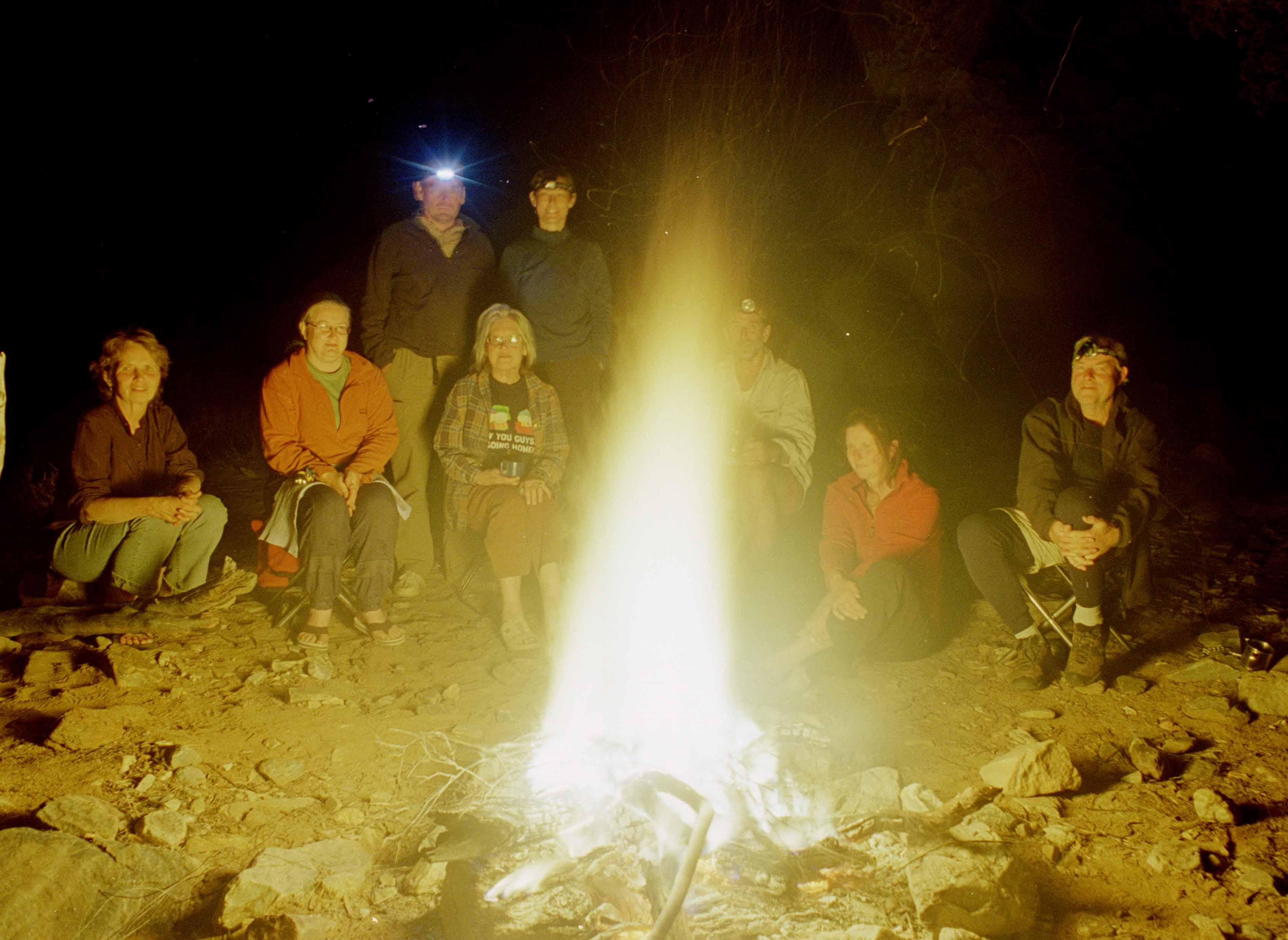
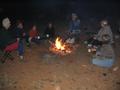
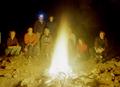
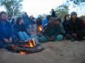
different at the official camp site). We have a camp fire after a
delicious meal cooked by Penny.
We camp in what's essentially a cow paddock. Consequently the flies
are out in force, and there is cow shit everywhere. Other than that it's
actually a nice camp ground (and the fly problem is unlikely to be
different at the official camp site). We have a camp fire after a
delicious meal cooked by Penny.
Day 3, Sunday 5 September 2004
Section 3: Jay Creek to Standley Chasm
Day: 15km; Total: 59.5km
 We get up after a milder night to a mostly cloudy day, but with some
early morning sun. Today, Trudy
pauses in order to rest her knee, particularly as this is the first day
with a serious ascent and descent. Marie is also taking the day off
walking once she hears that in the context of the Alice Springs Desert
Festival it's the day of the annual Desert Mob art exhibition and sale,
so the three girls go to town.
We get up after a milder night to a mostly cloudy day, but with some
early morning sun. Today, Trudy
pauses in order to rest her knee, particularly as this is the first day
with a serious ascent and descent. Marie is also taking the day off
walking once she hears that in the context of the Alice Springs Desert
Festival it's the day of the annual Desert Mob art exhibition and sale,
so the three girls go to town.
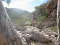
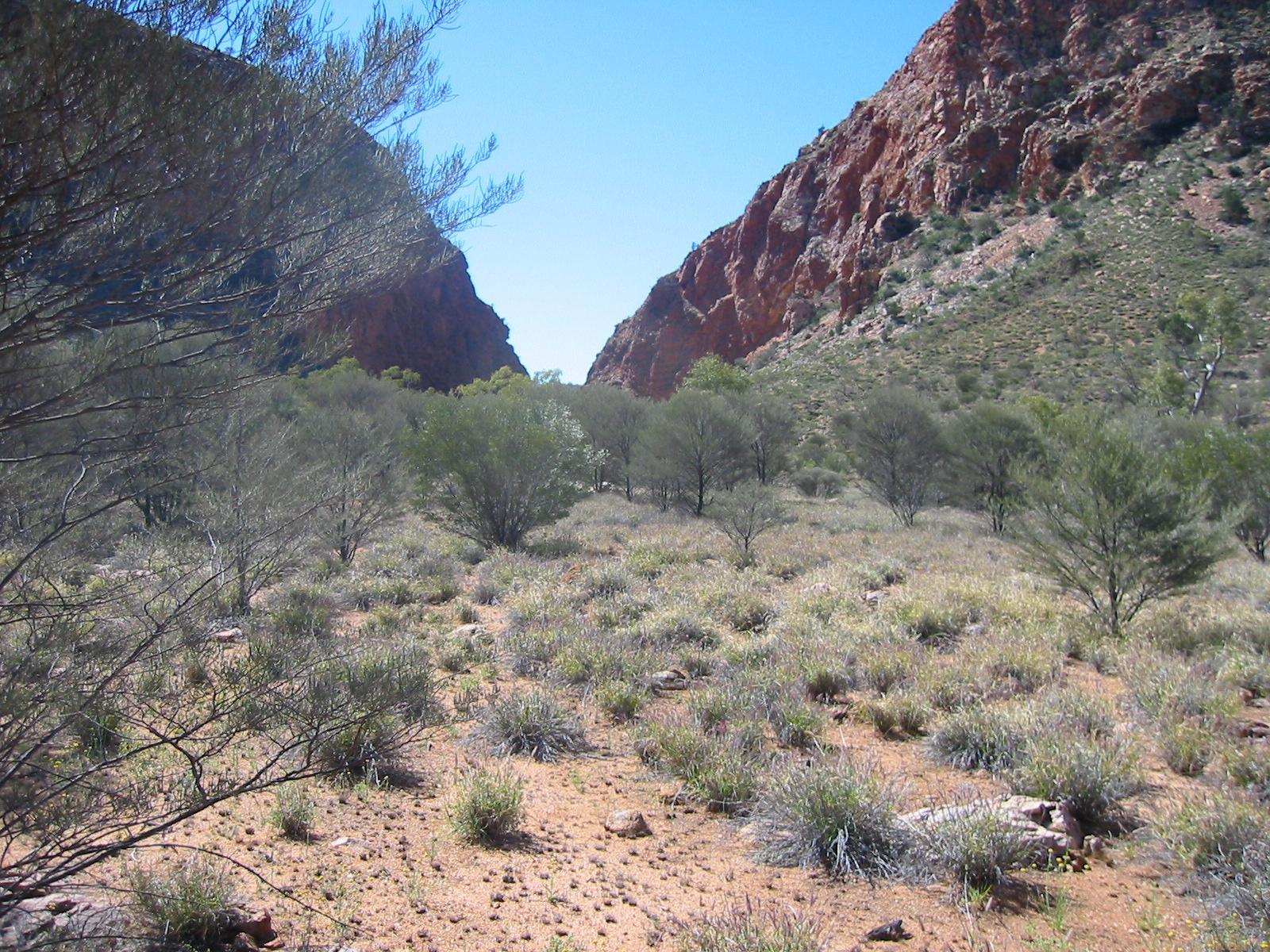
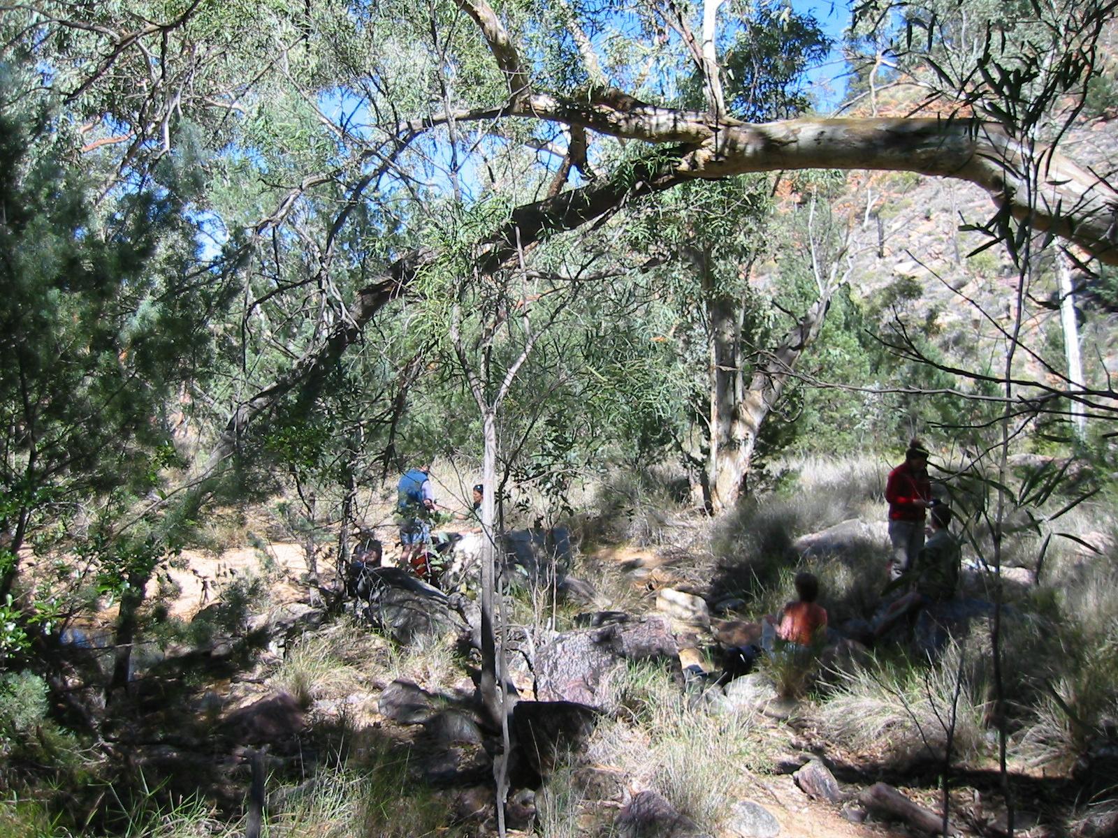
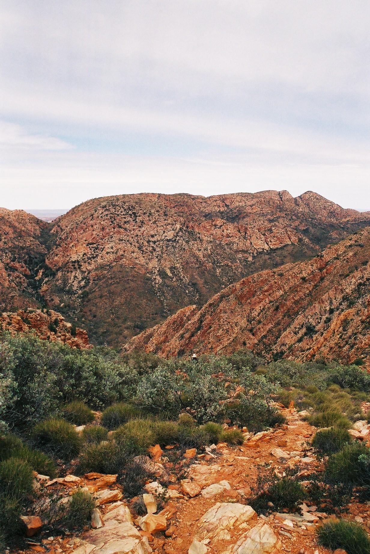
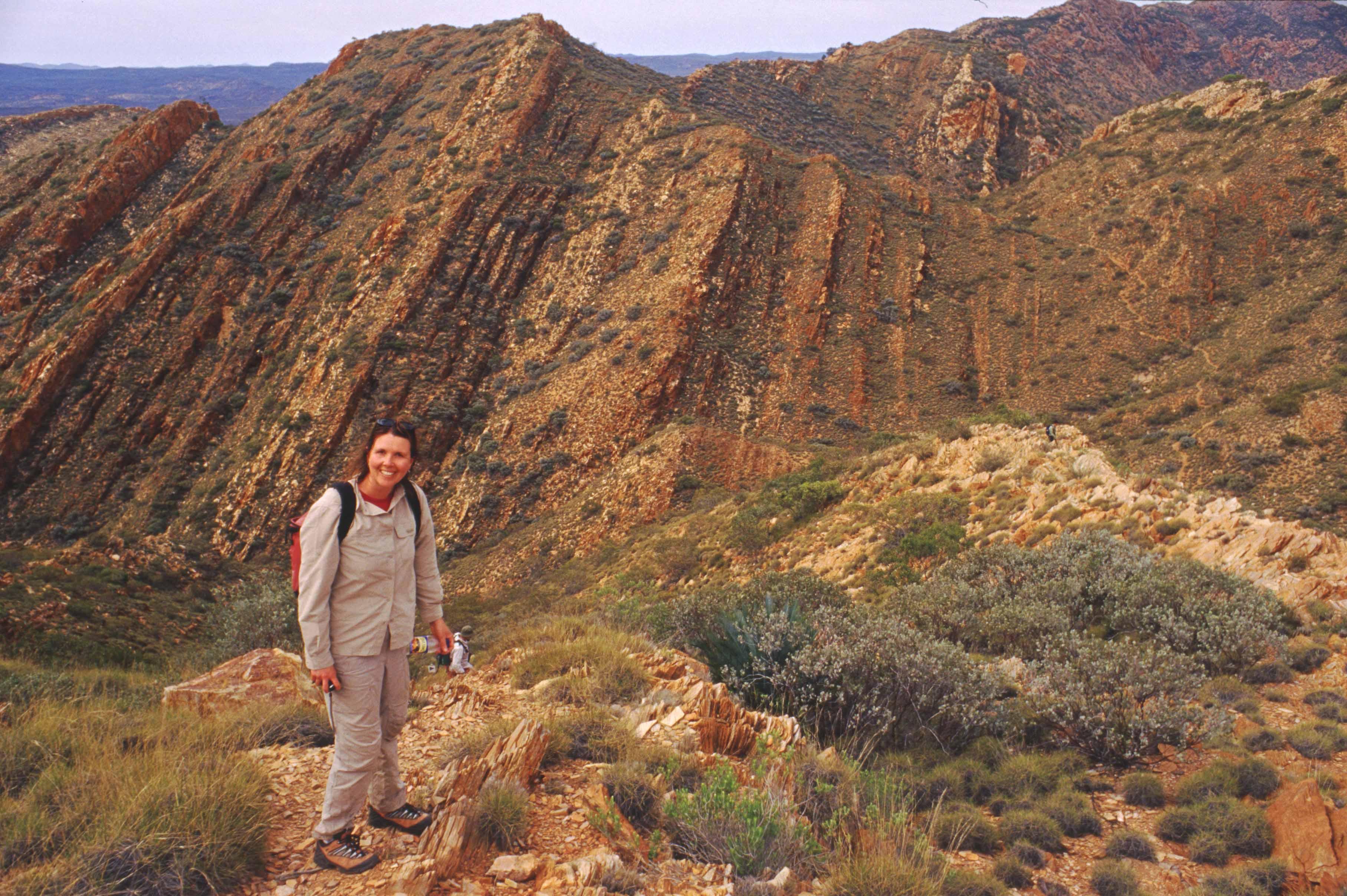
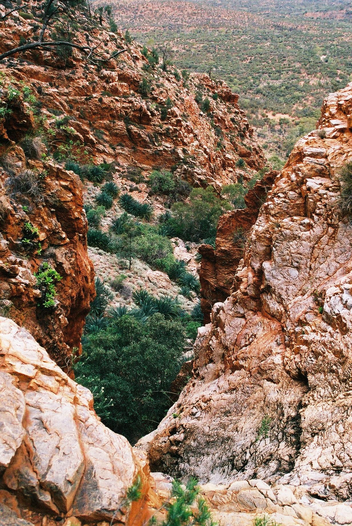
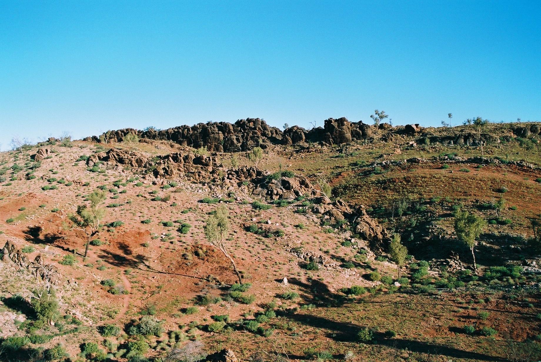
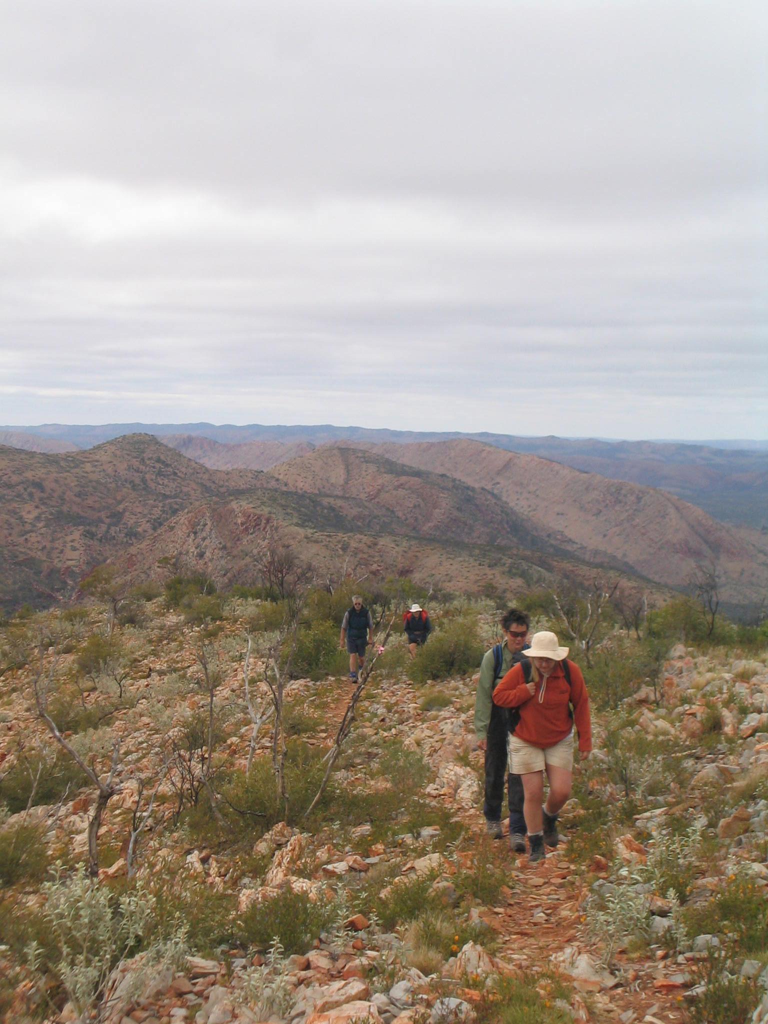
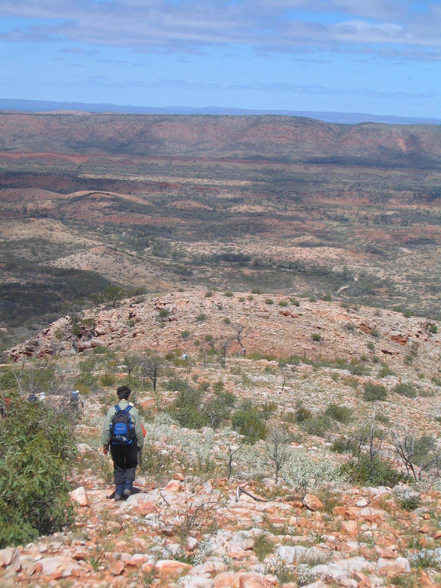
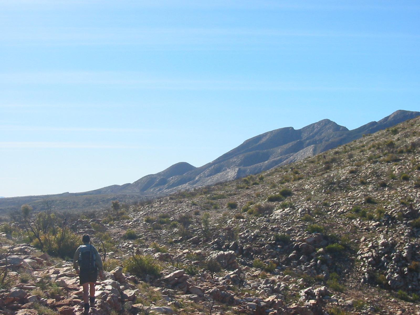
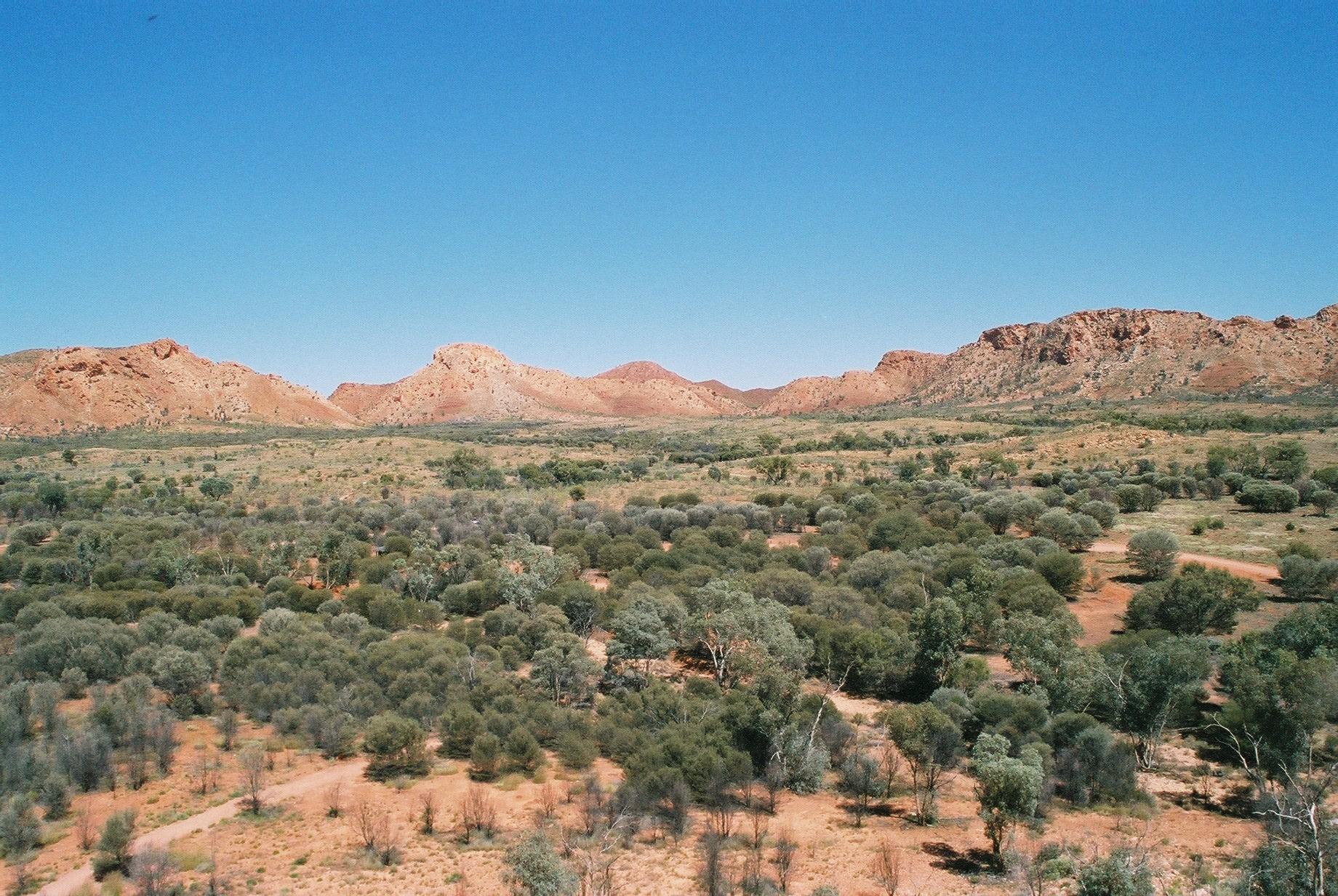
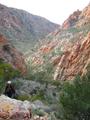
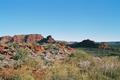
 The walking here is much more strenuous; from Jay Creek via Fish Hole to
Tangentyere Junction we are mostly walking in river beds, which means
very uneven ground and frequent scrambling over larger boulders.
The walking here is much more strenuous; from Jay Creek via Fish Hole to
Tangentyere Junction we are mostly walking in river beds, which means
very uneven ground and frequent scrambling over larger boulders.
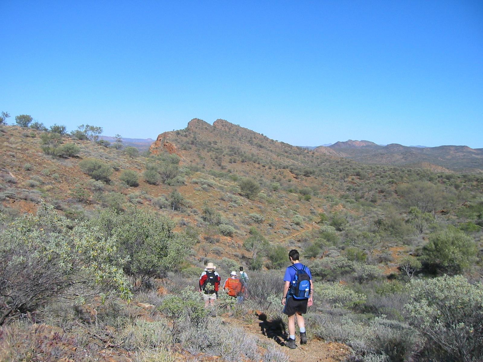
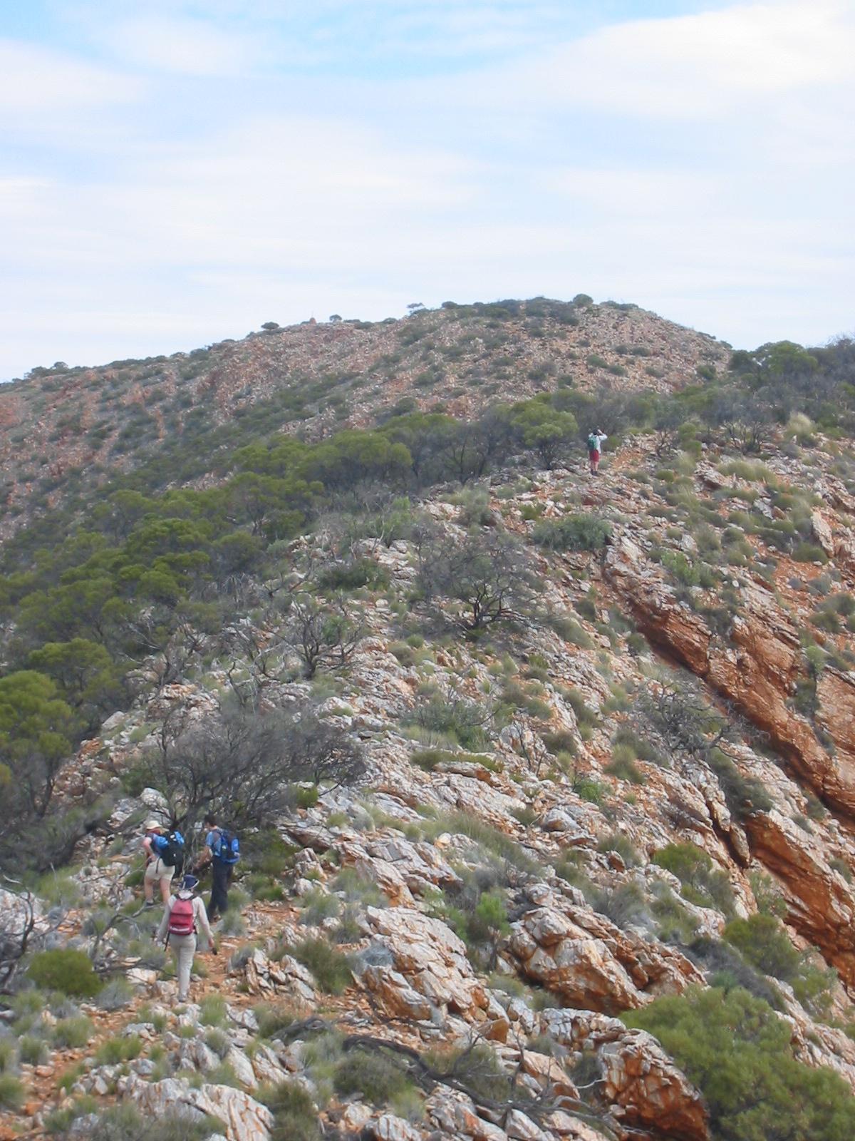
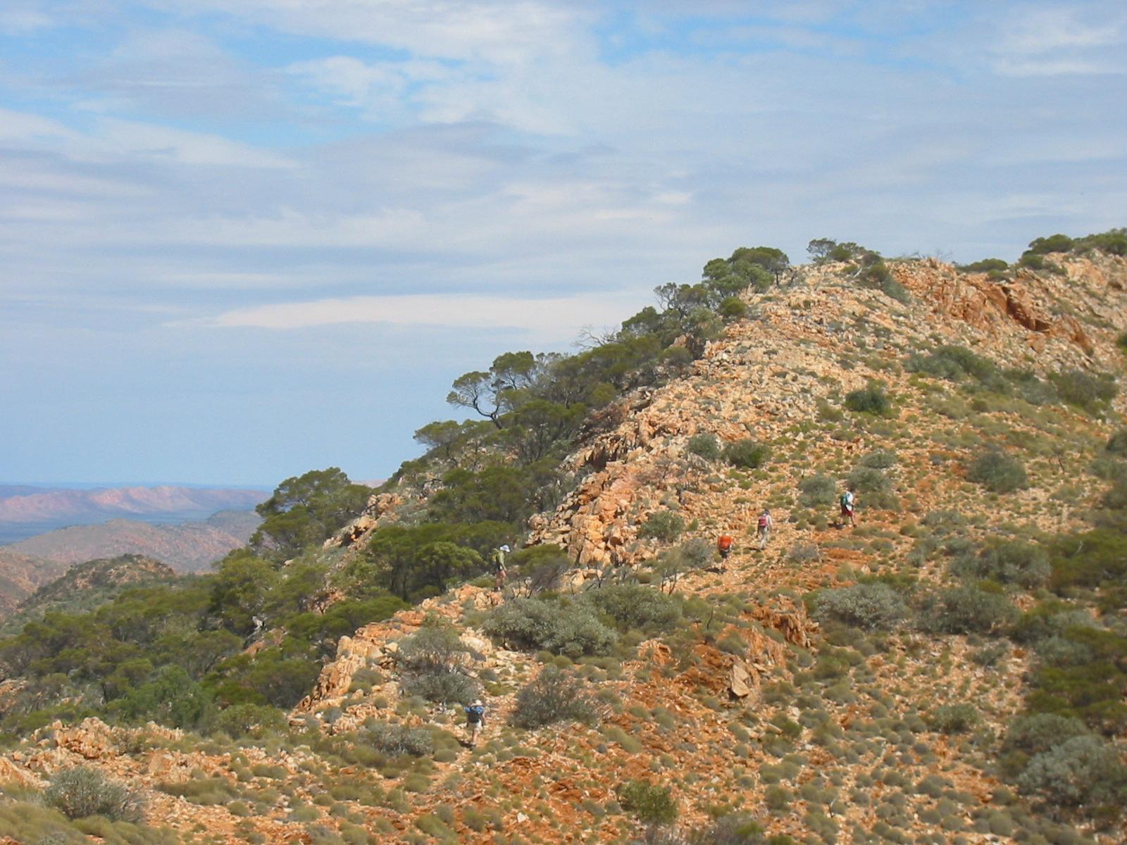
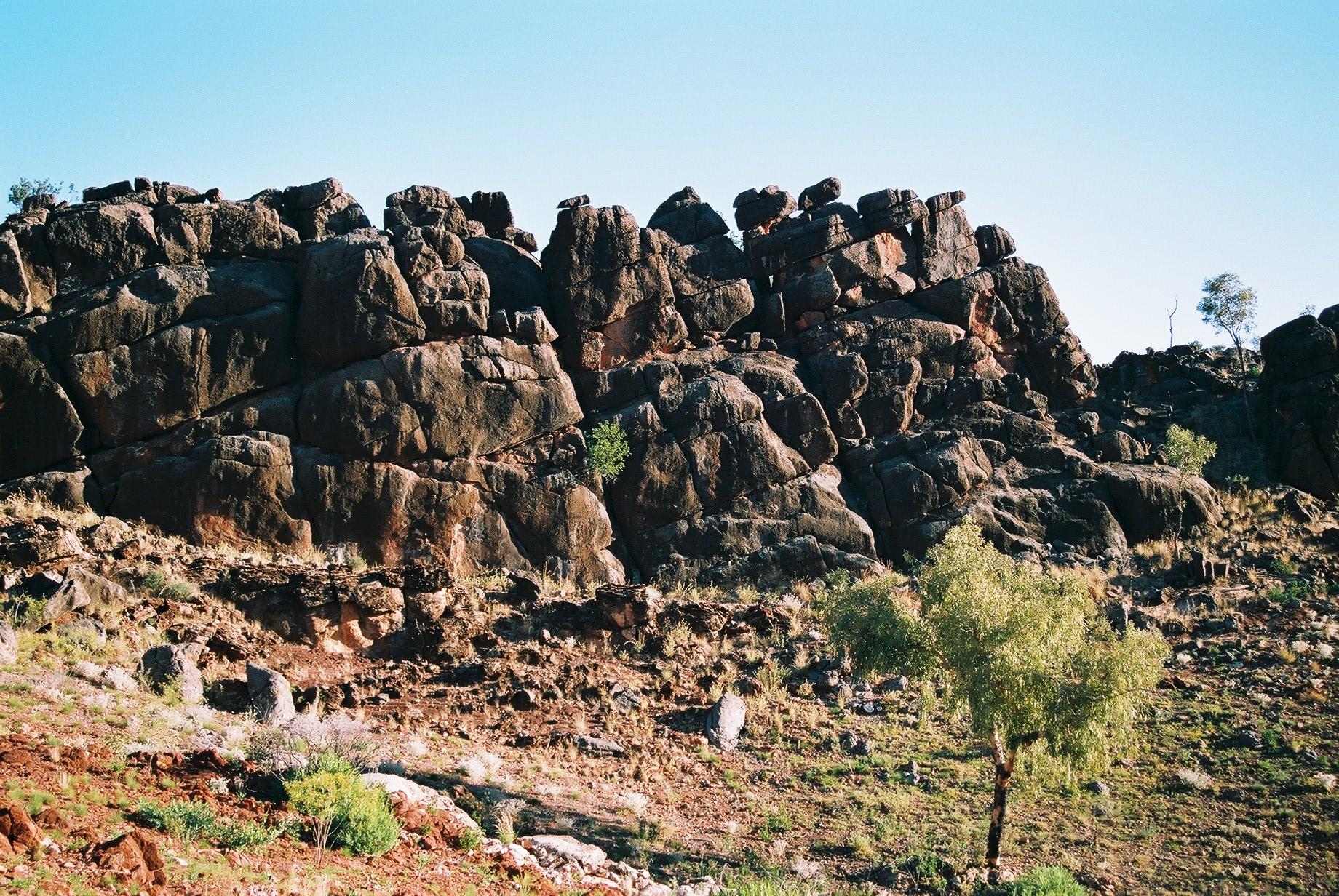
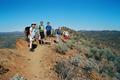
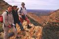
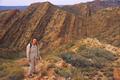
 At the junction we split up, with Bob and Ron taking the low route up
the valley, and the other five taking the route over the top of the
ridge. The ascent is quite pleasant, relatively steep but steady, and at
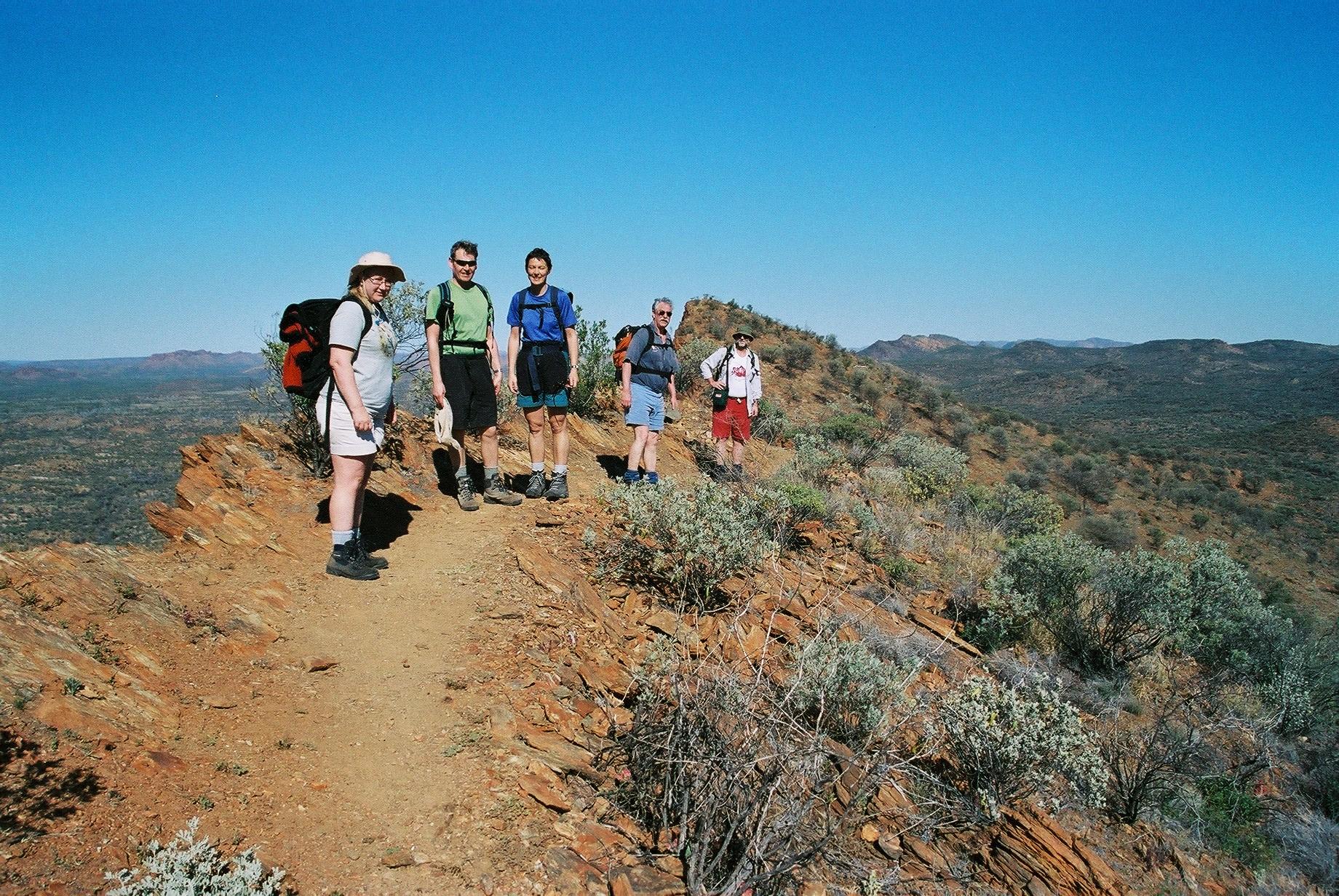
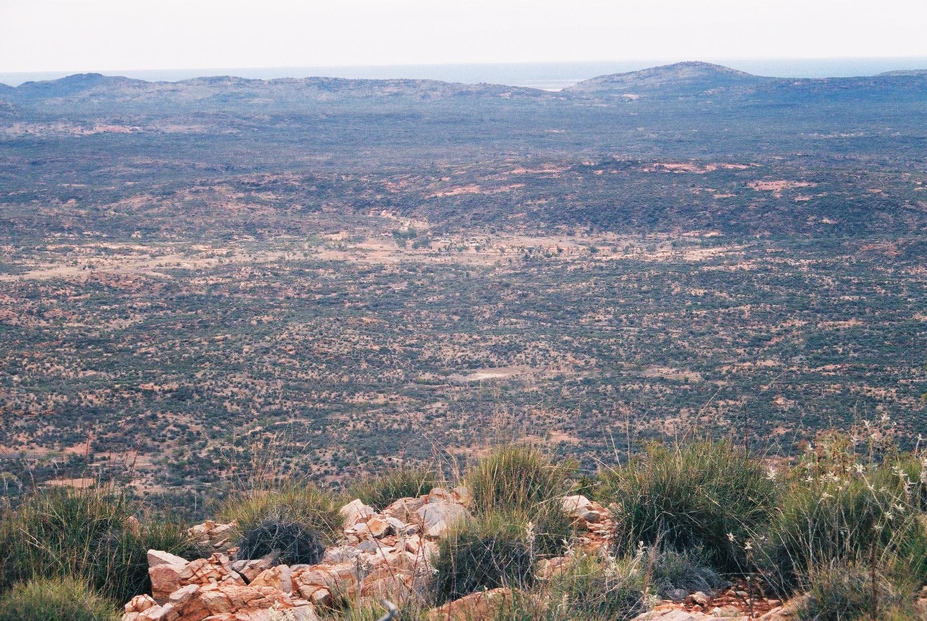
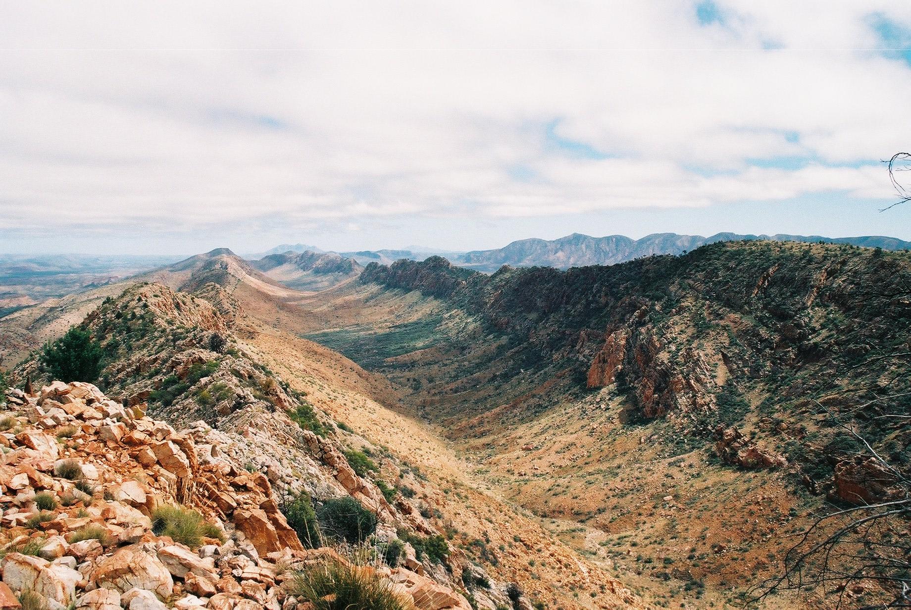
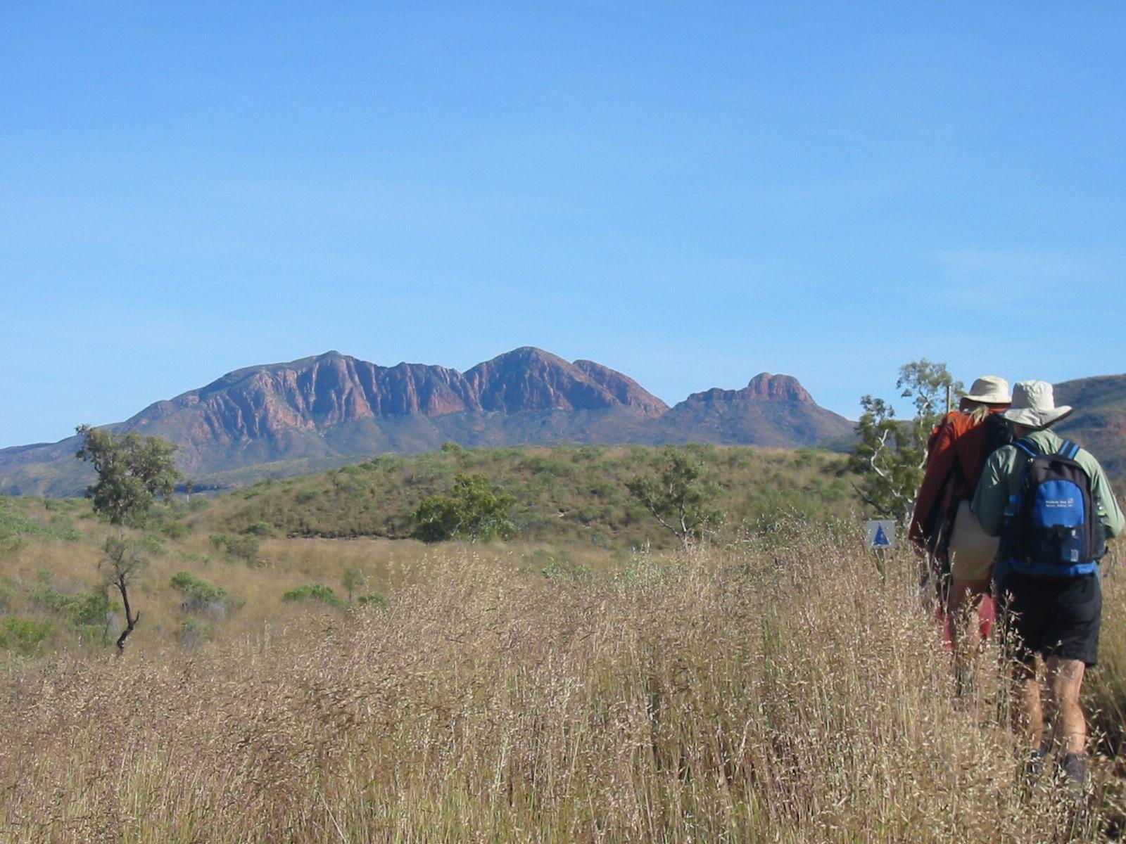
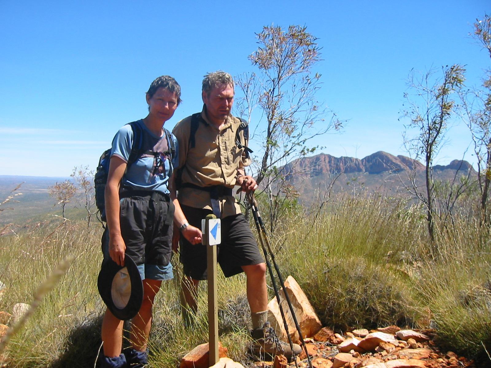
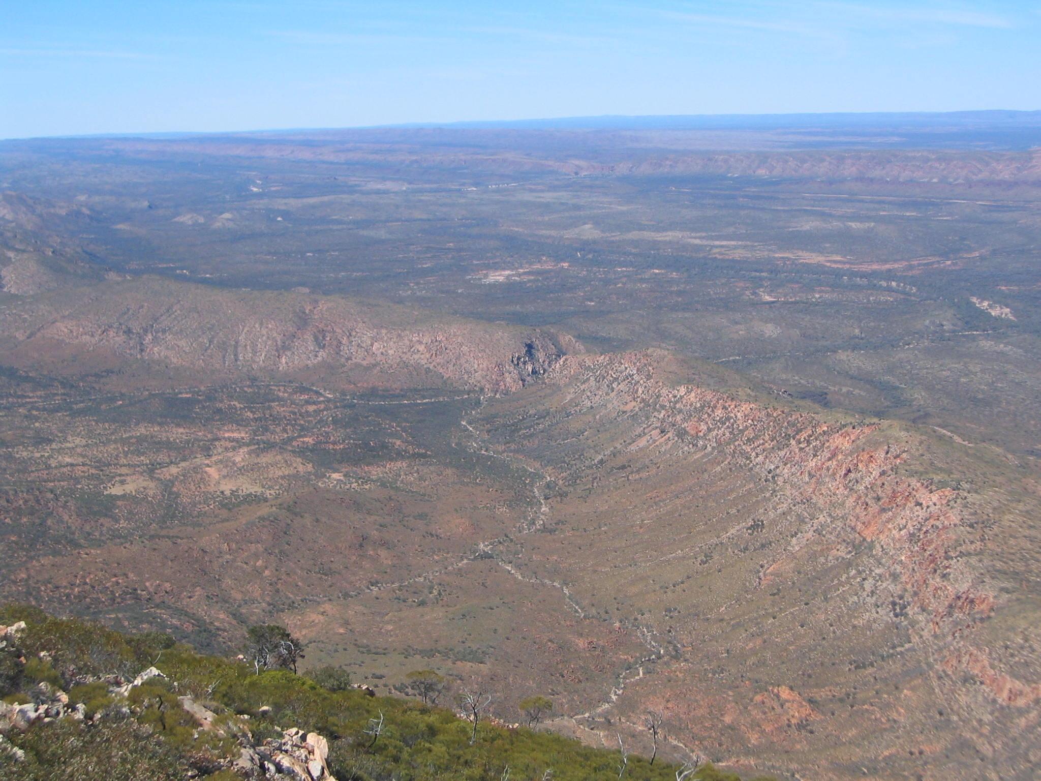
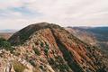
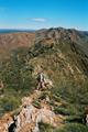
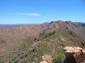
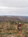
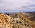
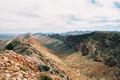
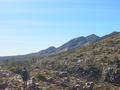
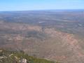
the top we are rewarded with great 360° views!
At the junction we split up, with Bob and Ron taking the low route up
the valley, and the other five taking the route over the top of the
ridge. The ascent is quite pleasant, relatively steep but steady, and at
the top we are rewarded with great 360° views!
 The descent from the top is steep, but Gernot's knee is holding up
surprisingly well, thanks to extensive use of the walking sticks. Karen
thinks it's funny to see Gernot moving down the hill on four “legs” in
a way reminiscent of a spider. Near Miller's flat the seven of us meet
up again and have lunch together.
The descent from the top is steep, but Gernot's knee is holding up
surprisingly well, thanks to extensive use of the walking sticks. Karen
thinks it's funny to see Gernot moving down the hill on four “legs” in
a way reminiscent of a spider. Near Miller's flat the seven of us meet
up again and have lunch together.
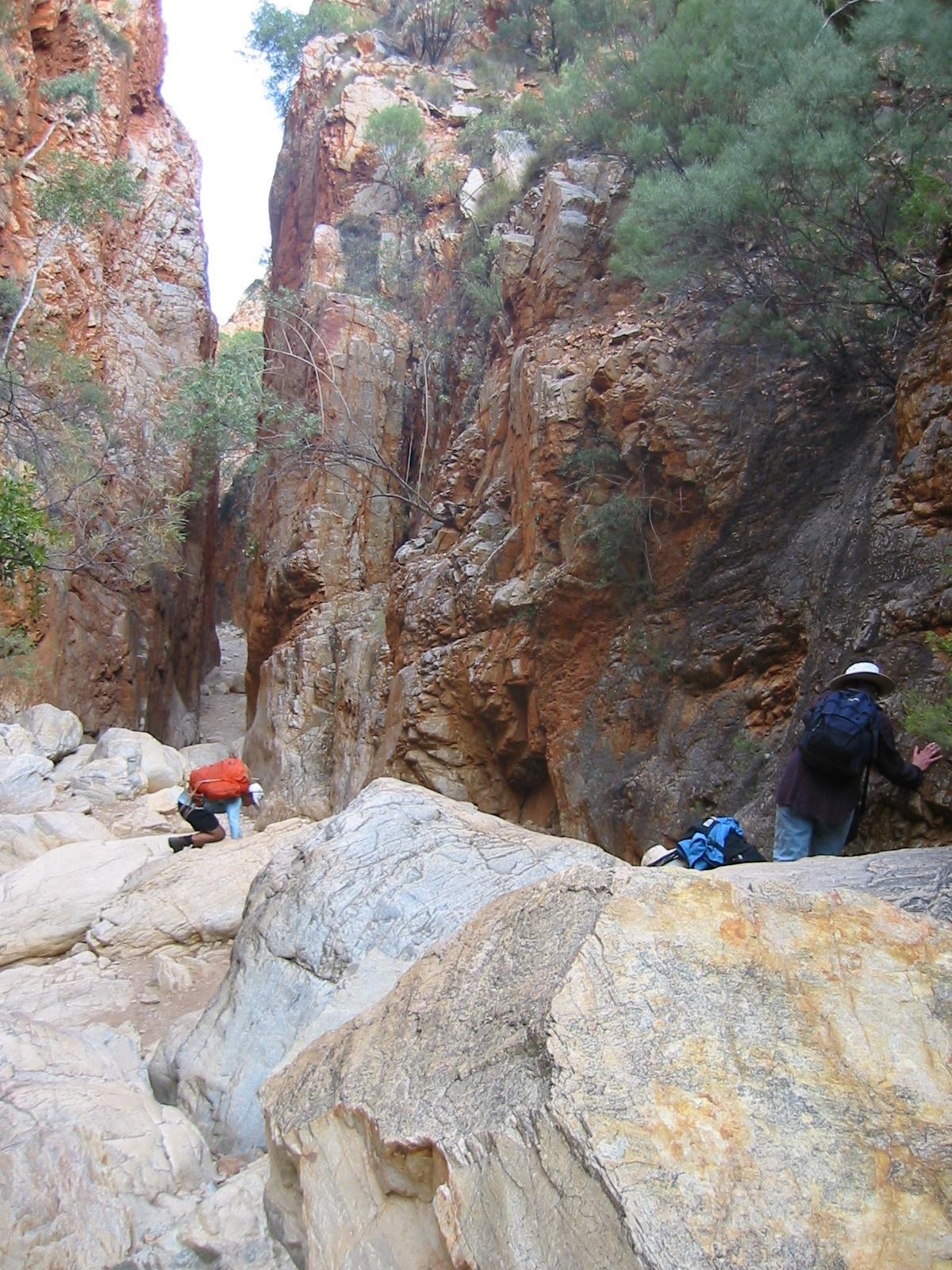
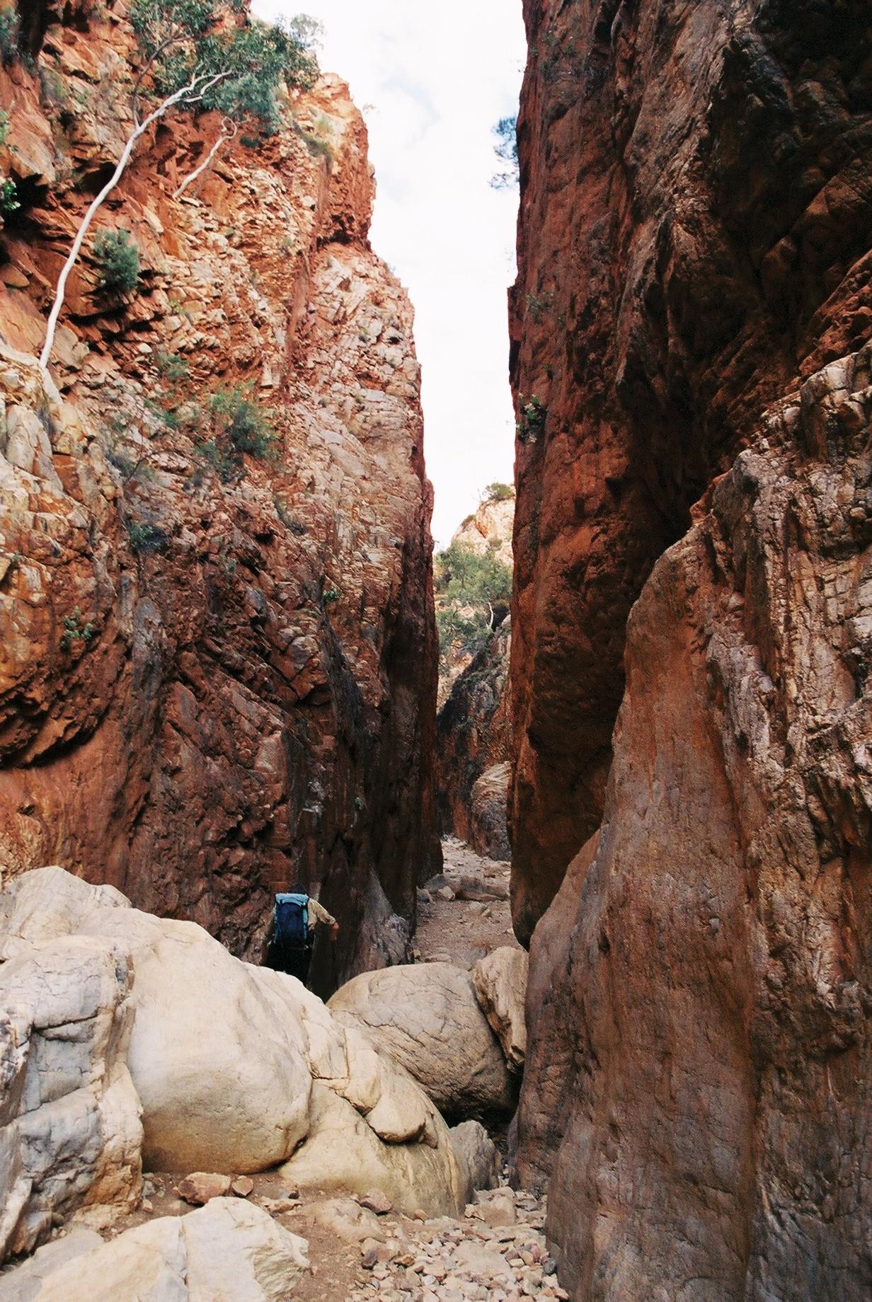
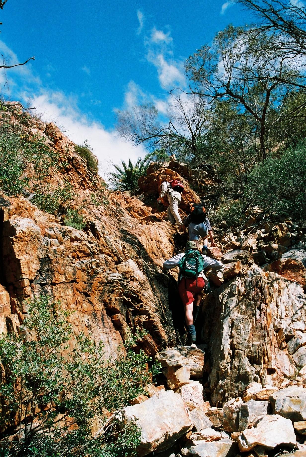
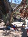
After lunch there is more scrambling through creek beds, and at the end
even some mild climbing. Fortunately the signposting leaves no doubt
which way to go!

 Past Angkale Junction there is yet another creek bed, this time
downhill, although there is a big detour leading a fair bit up the side of
the valley to get around some high piles of rock in the creek.
Past Angkale Junction there is yet another creek bed, this time
downhill, although there is a big detour leading a fair bit up the side of
the valley to get around some high piles of rock in the creek.
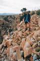
 A final scramble over some big rocks, and we have reached the bottom of
the valley at Standley Chasm, where we are greeted by day tourists
walking in from the car park. There is a kiosk with ice cream, the
perfect treat at the end of a strenuous and warm day (the hardest and
warmest so far, even if the official temperature is a balmy
20°)! The car arrives within minutes of us (this time from the South
again, so they went via Alice once more).
A final scramble over some big rocks, and we have reached the bottom of
the valley at Standley Chasm, where we are greeted by day tourists
walking in from the car park. There is a kiosk with ice cream, the
perfect treat at the end of a strenuous and warm day (the hardest and
warmest so far, even if the official temperature is a balmy
20°)! The car arrives within minutes of us (this time from the South
again, so they went via Alice once more).
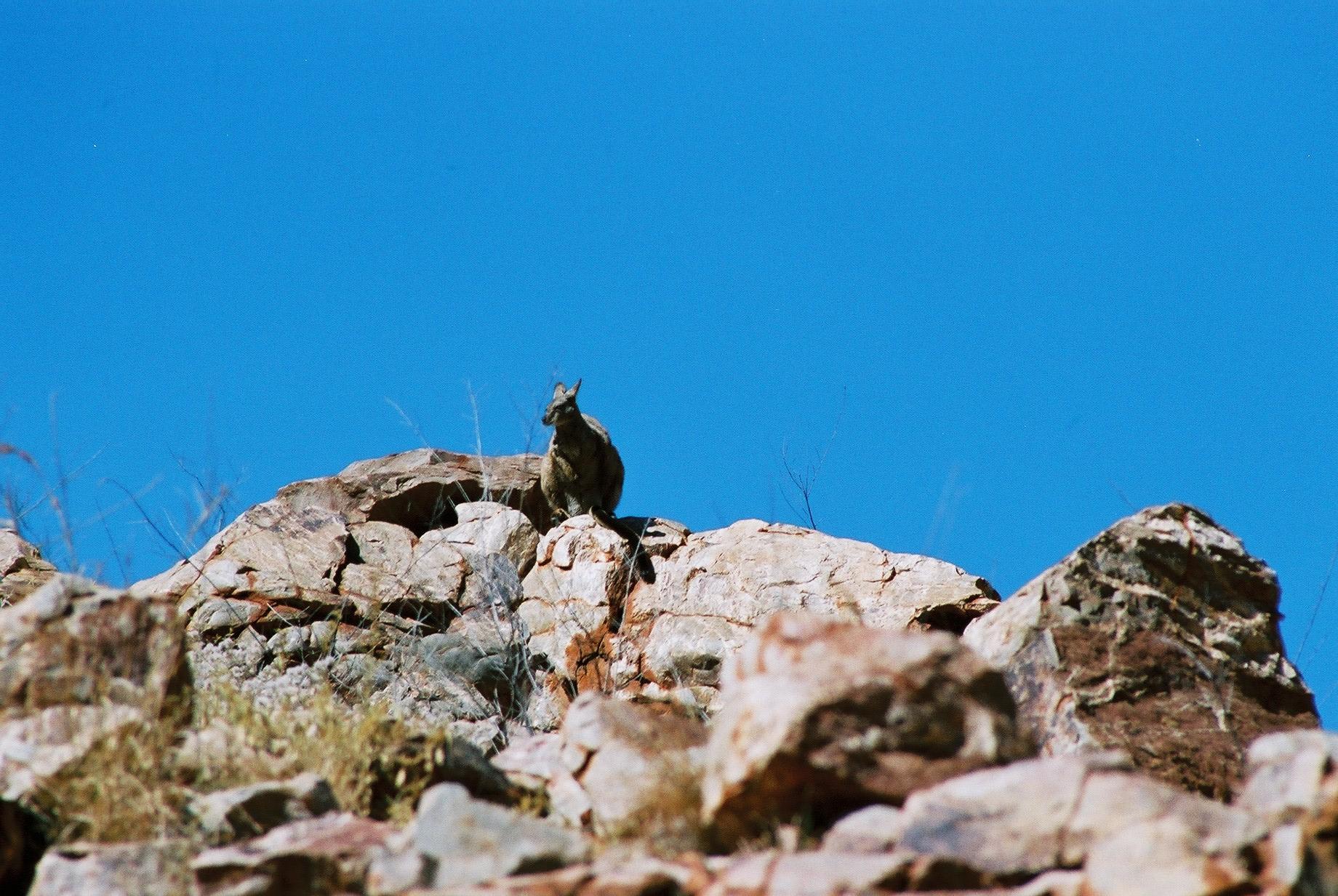
 Soon after sunset a number of wallabies come out looking for edibles:
they clearly expect that where there are campers there is
food. Obviously, not all campers are very disciplined with respecting
the do-not-feed-wildlife rule.
Soon after sunset a number of wallabies come out looking for edibles:
they clearly expect that where there are campers there is
food. Obviously, not all campers are very disciplined with respecting
the do-not-feed-wildlife rule.
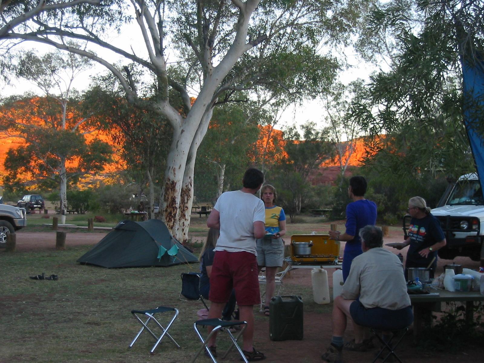
Day 4, Monday 6 September 2004
Section 4: Standley Chasm to Birthday Waterhole
Day: 18km; Total: 77.5km
We wake up to a mild morning with overcast sky. It will remain overcast
most of the day, which is somewhat unusual for the Centre this time of
the year. This time Bob joins Penny with the car, and the other 8 start
walking soon after 8am.
 The walk starts with a gentle slope, initially in an (easy) creek bed,
then along the side of the valley to Bridle Path Lookout, where we have
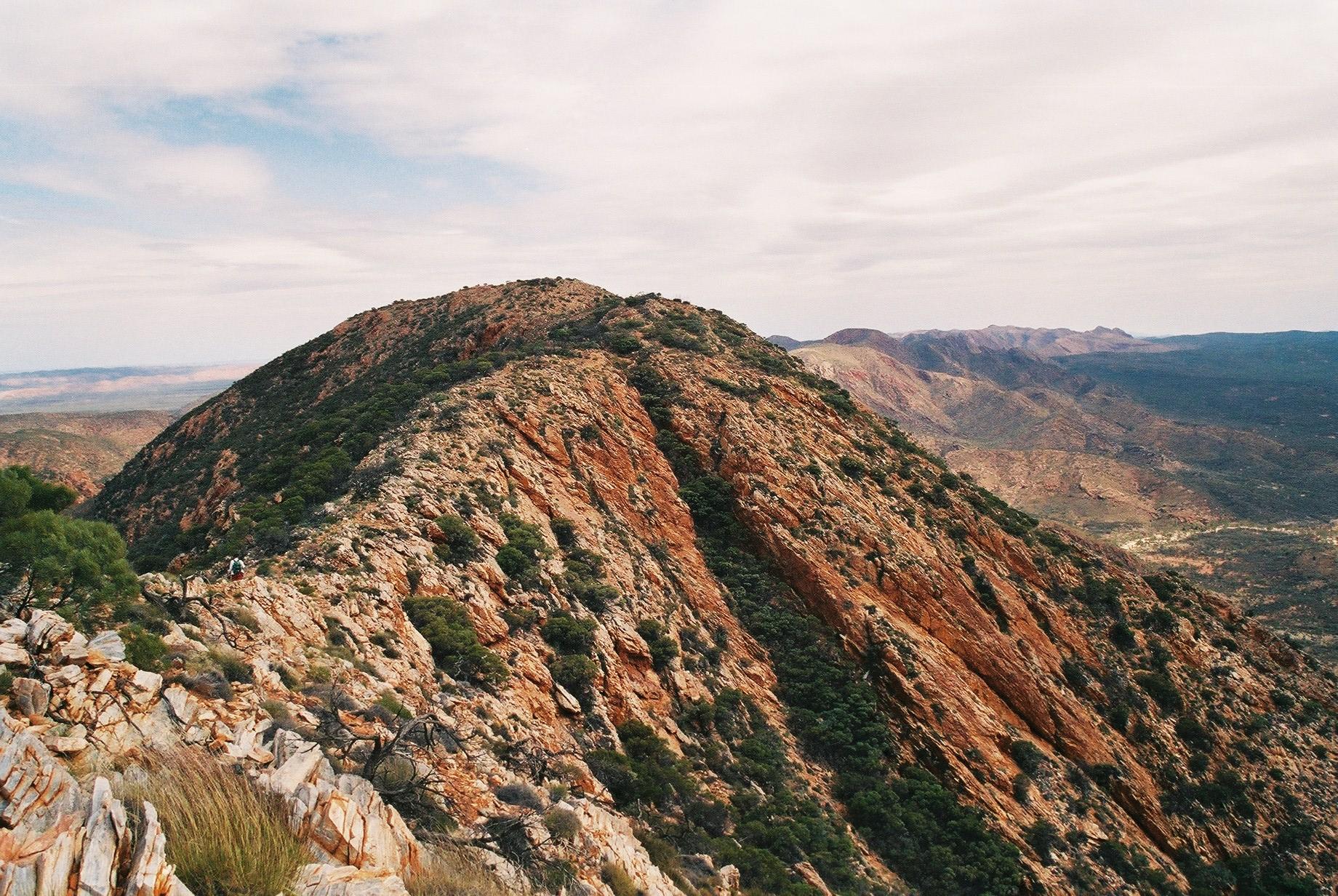
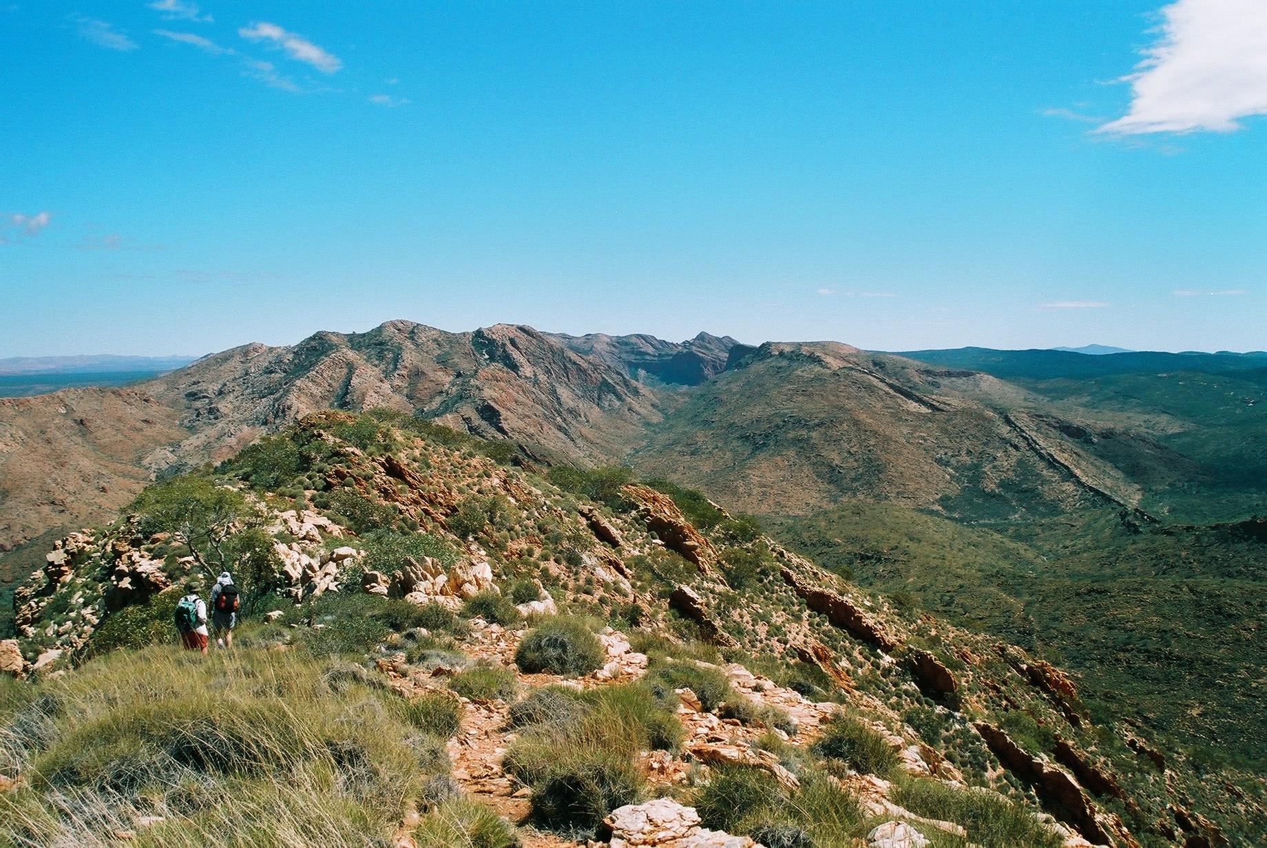
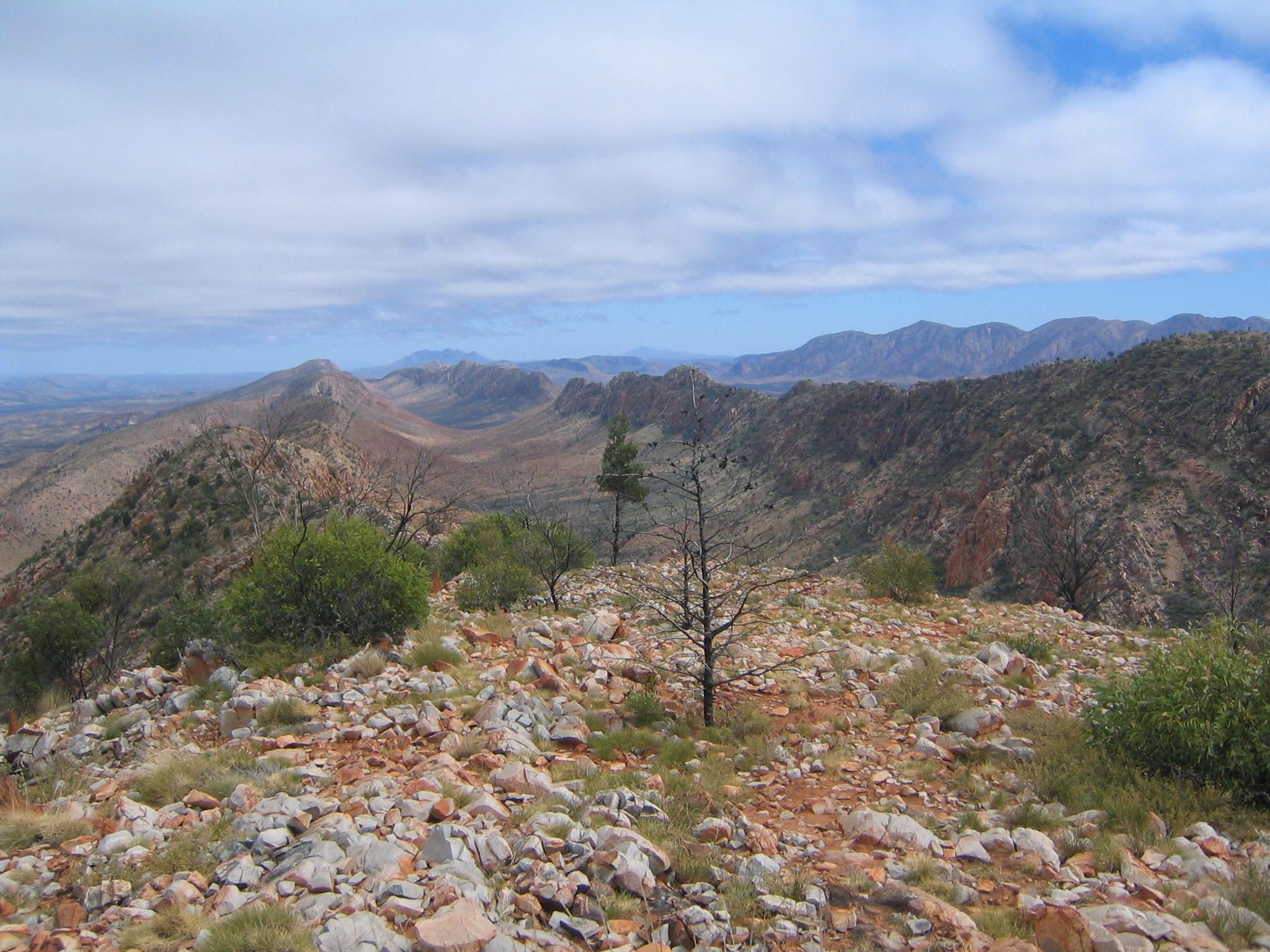
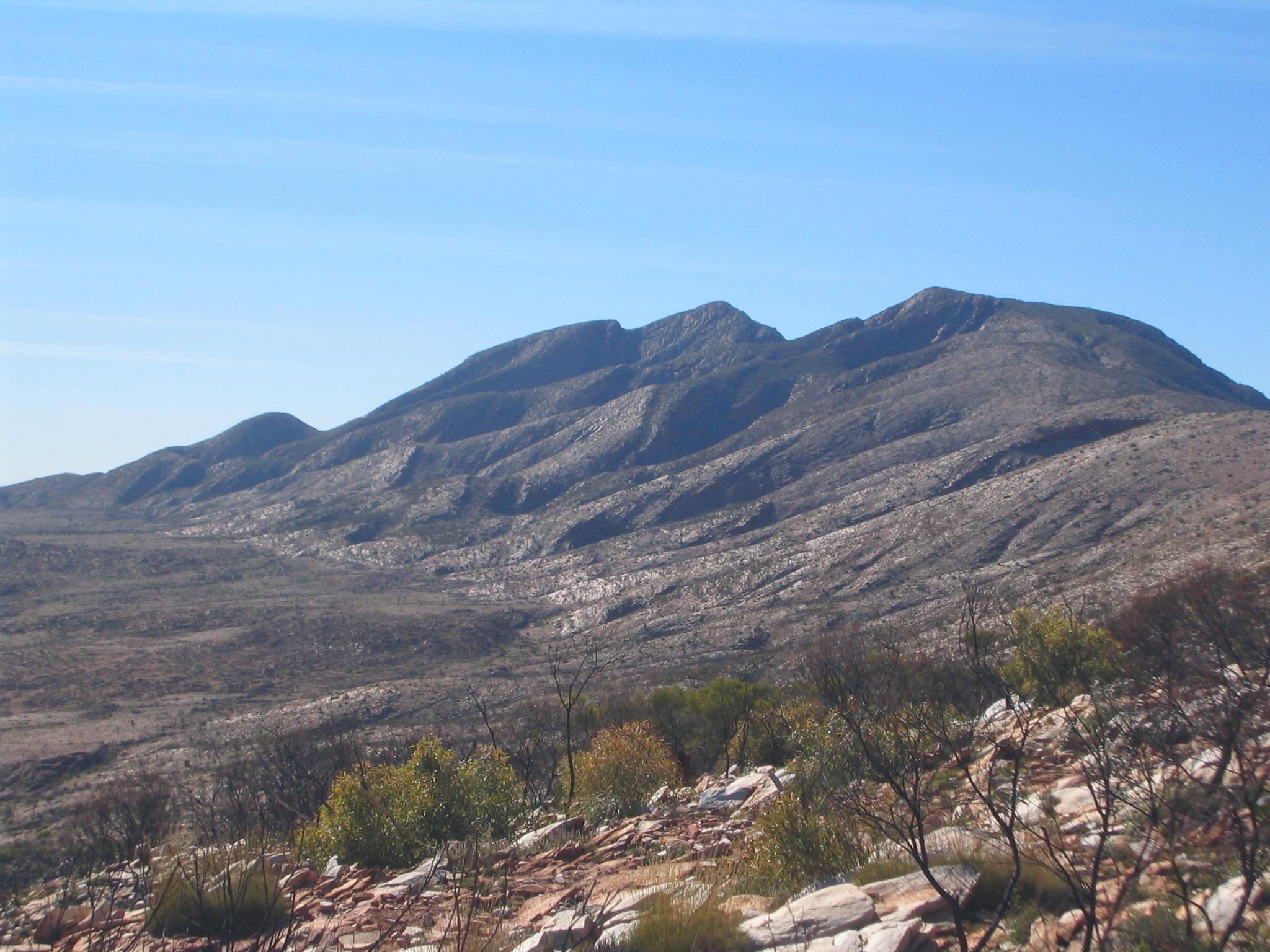
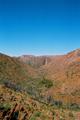
the first stop. On to Reveal Saddle, and then over slate along the ridge to
Brinkley Bluff Summit, which is 1200m high (camp was at 750m). There is
a helicopter landing pad on the top, and it is marked in the maps for
camping, but there is no water.
The walk starts with a gentle slope, initially in an (easy) creek bed,
then along the side of the valley to Bridle Path Lookout, where we have
the first stop. On to Reveal Saddle, and then over slate along the ridge to
Brinkley Bluff Summit, which is 1200m high (camp was at 750m). There is
a helicopter landing pad on the top, and it is marked in the maps for
camping, but there is no water.


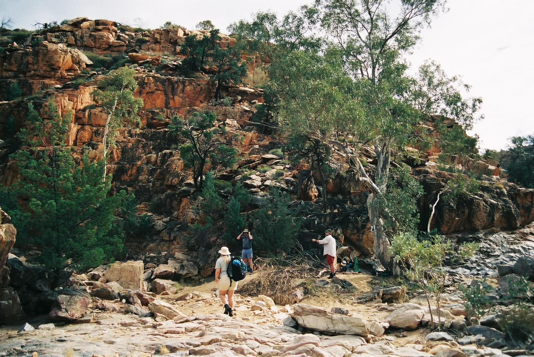
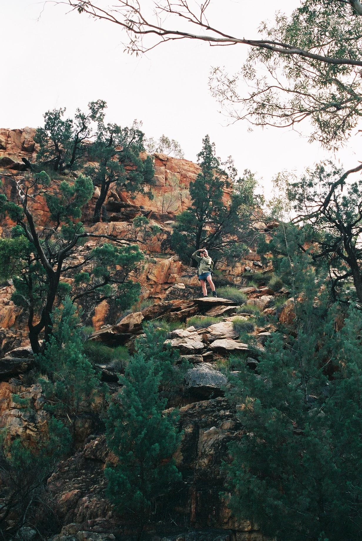
 The climb down is rather savage, a tough test for the knees, but
everything holds up. At Rocky Cleft there is an empty water
barrel. A further steep descent follows to Stuart's Pass (700m altitude).
The climb down is rather savage, a tough test for the knees, but
everything holds up. At Rocky Cleft there is an empty water
barrel. A further steep descent follows to Stuart's Pass (700m altitude).
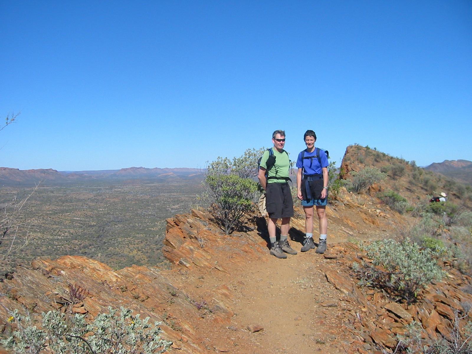
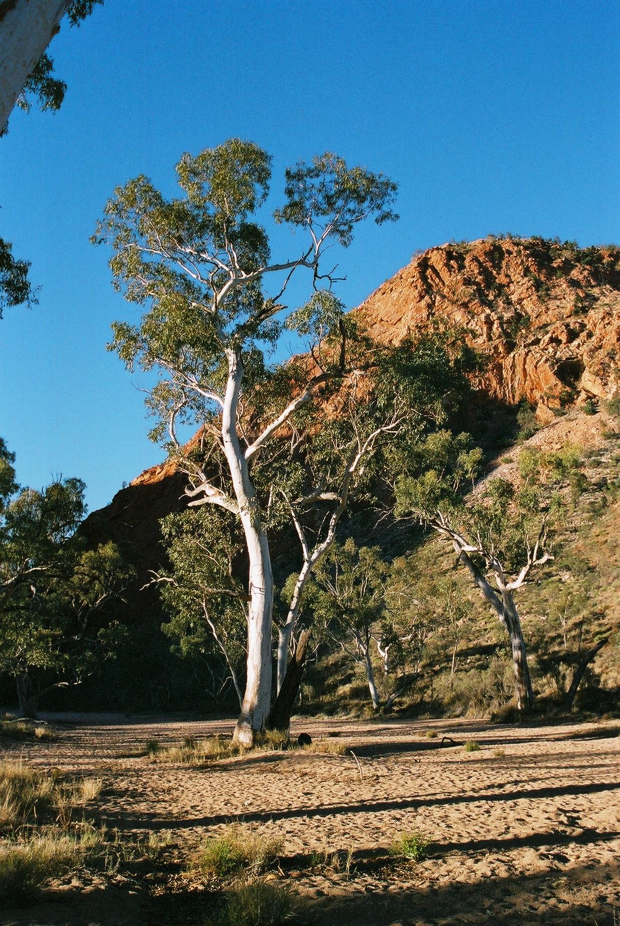
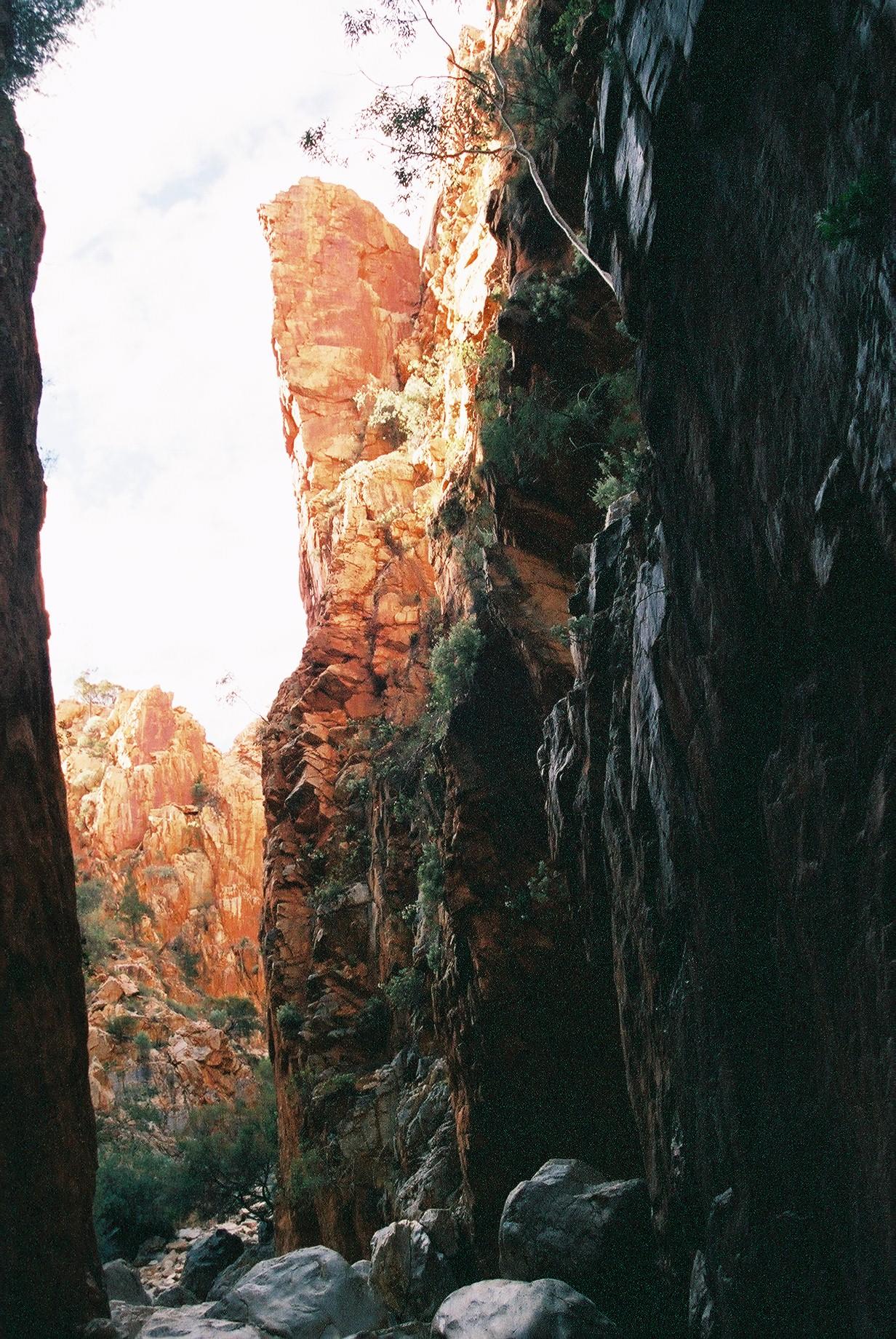
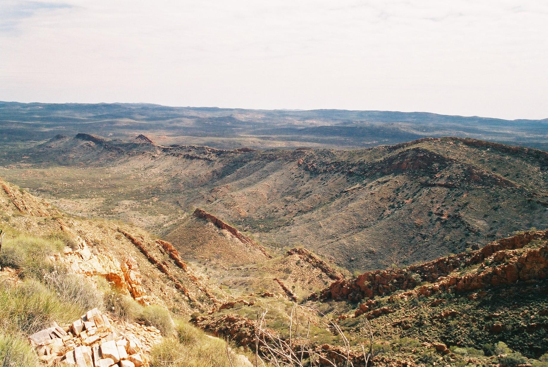
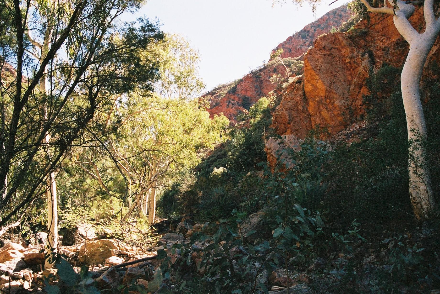
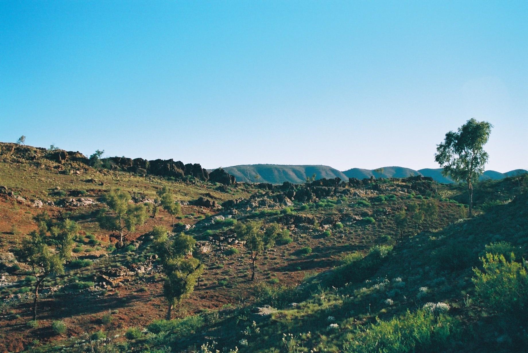
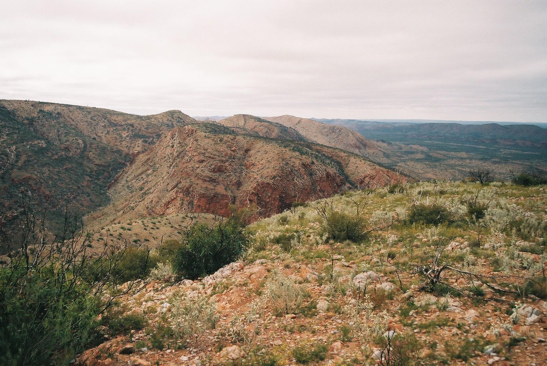
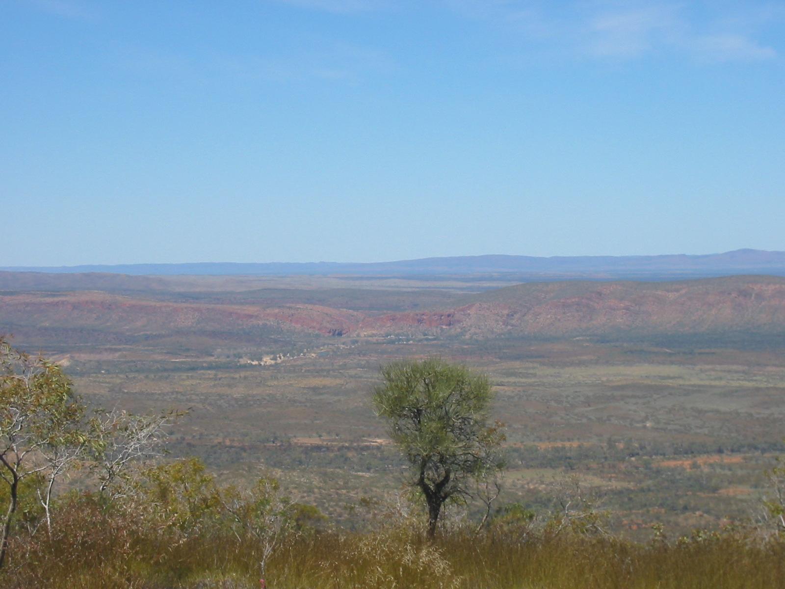
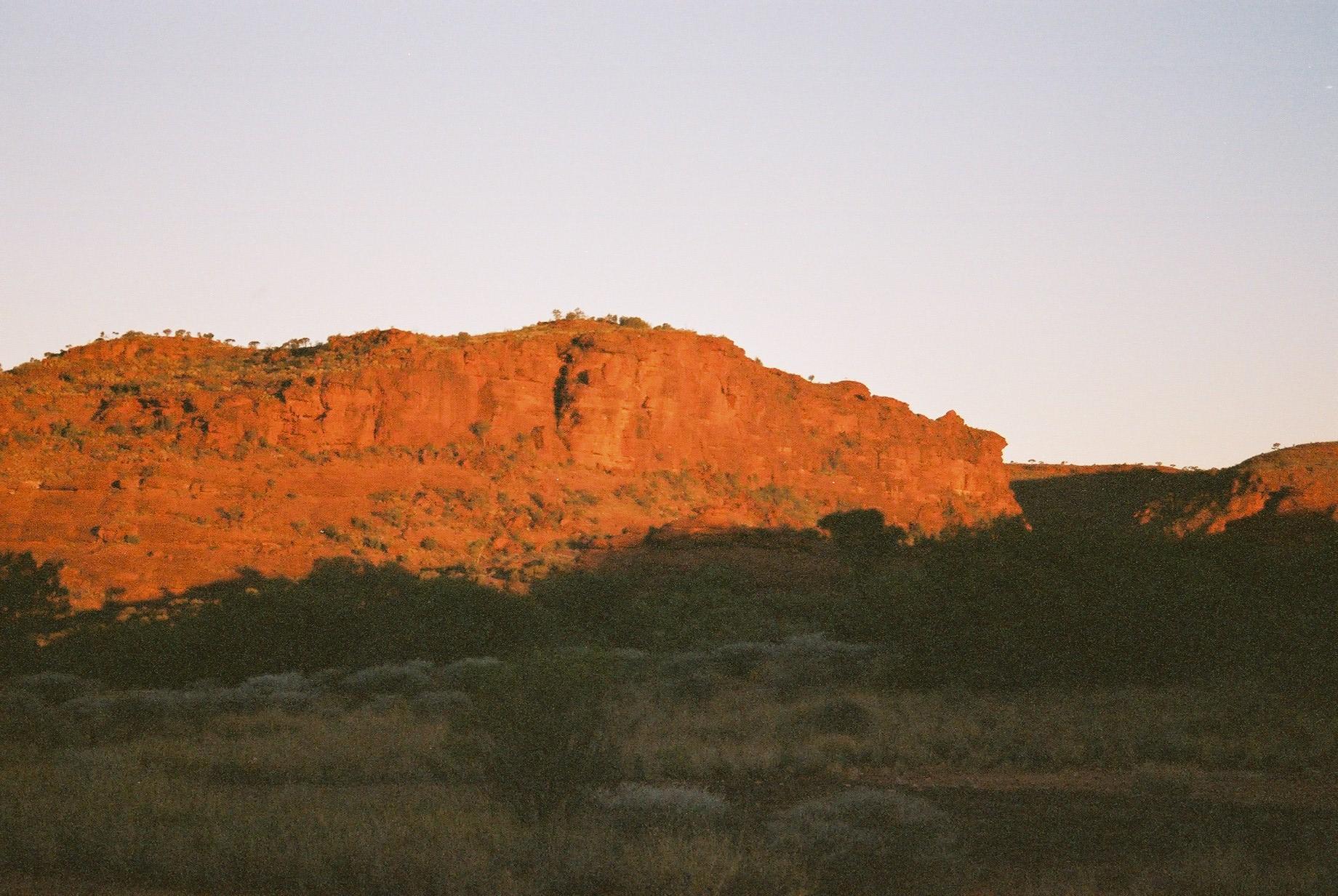
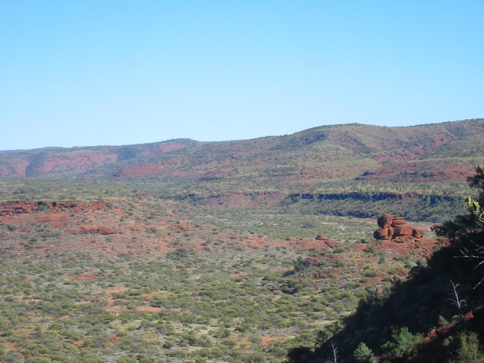
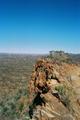
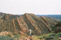
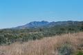
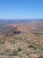
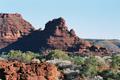
 It is quite warm by now (26.7° at ASP), the warmest day on the
track. However, as the sun is mostly behind clouds it isn't too bad. And
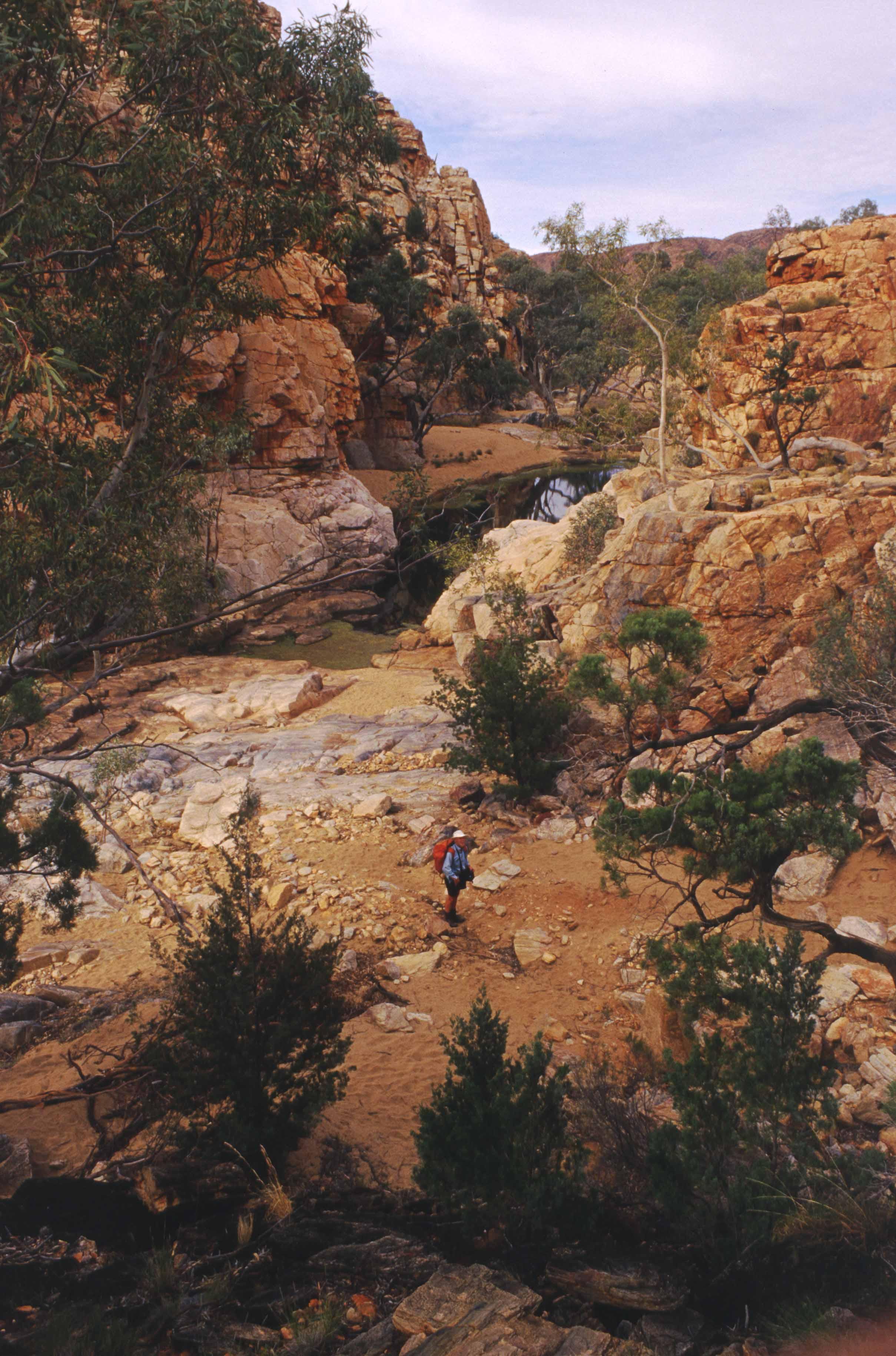
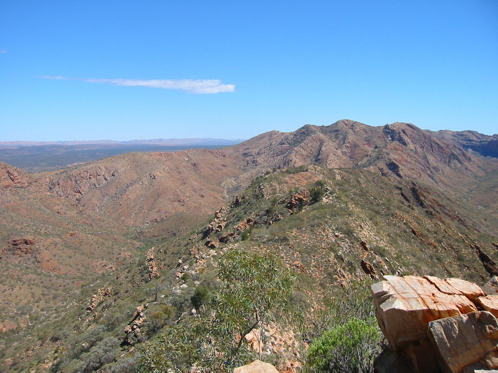
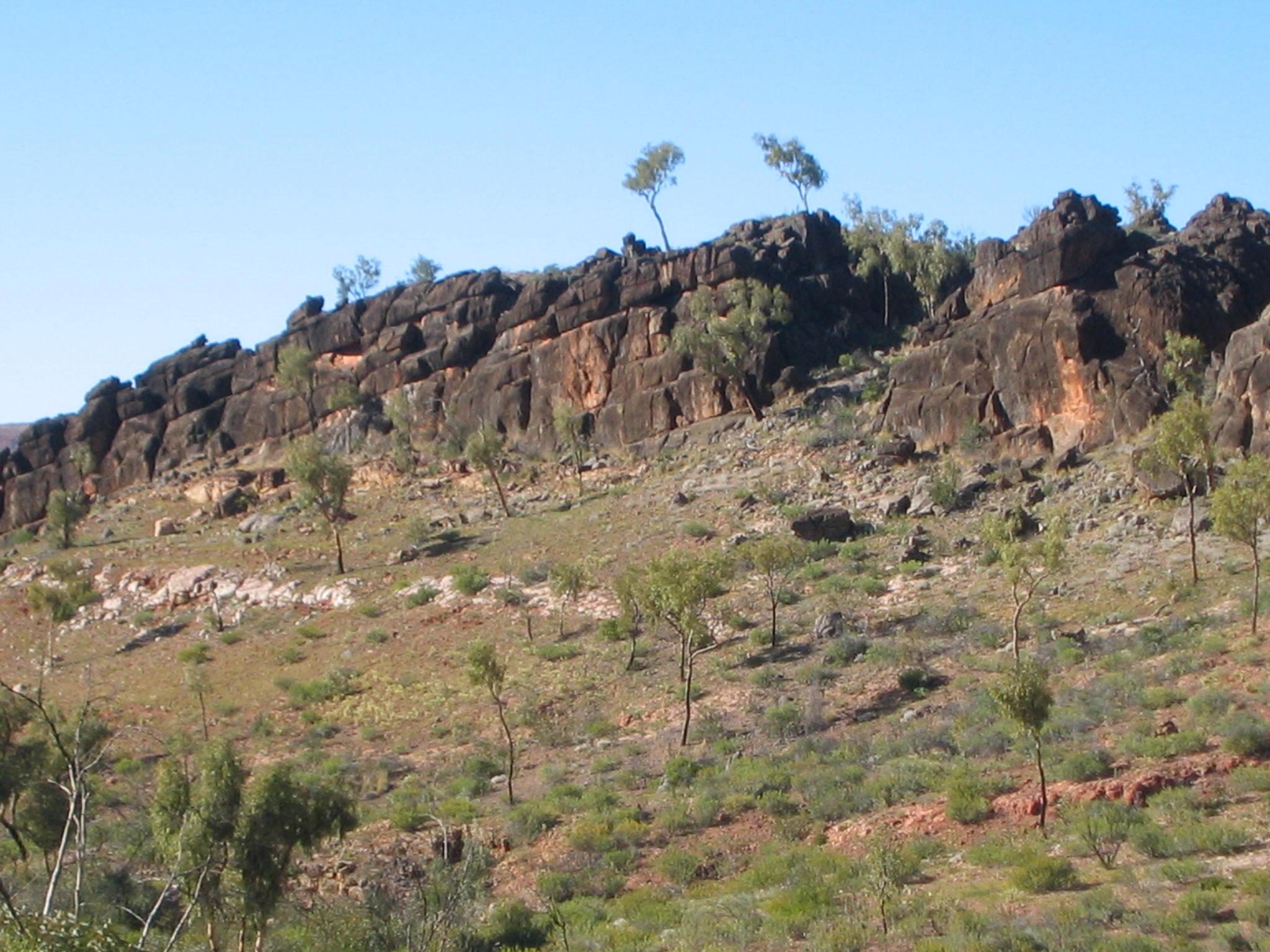
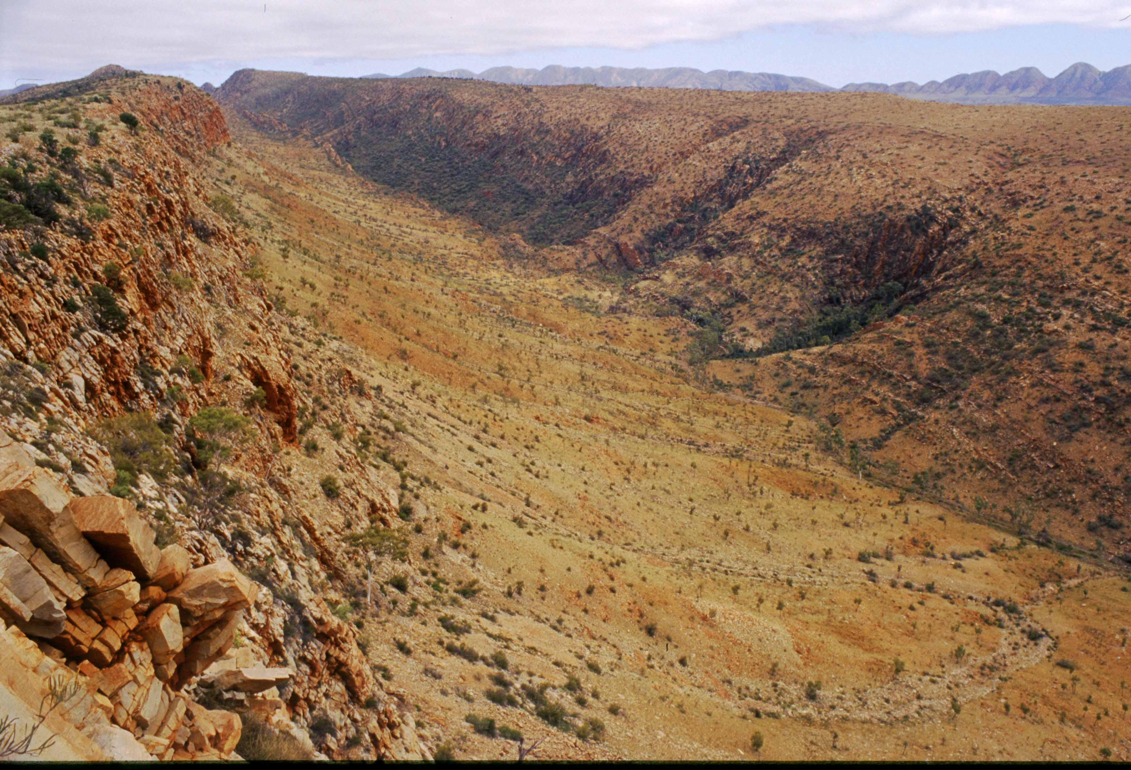
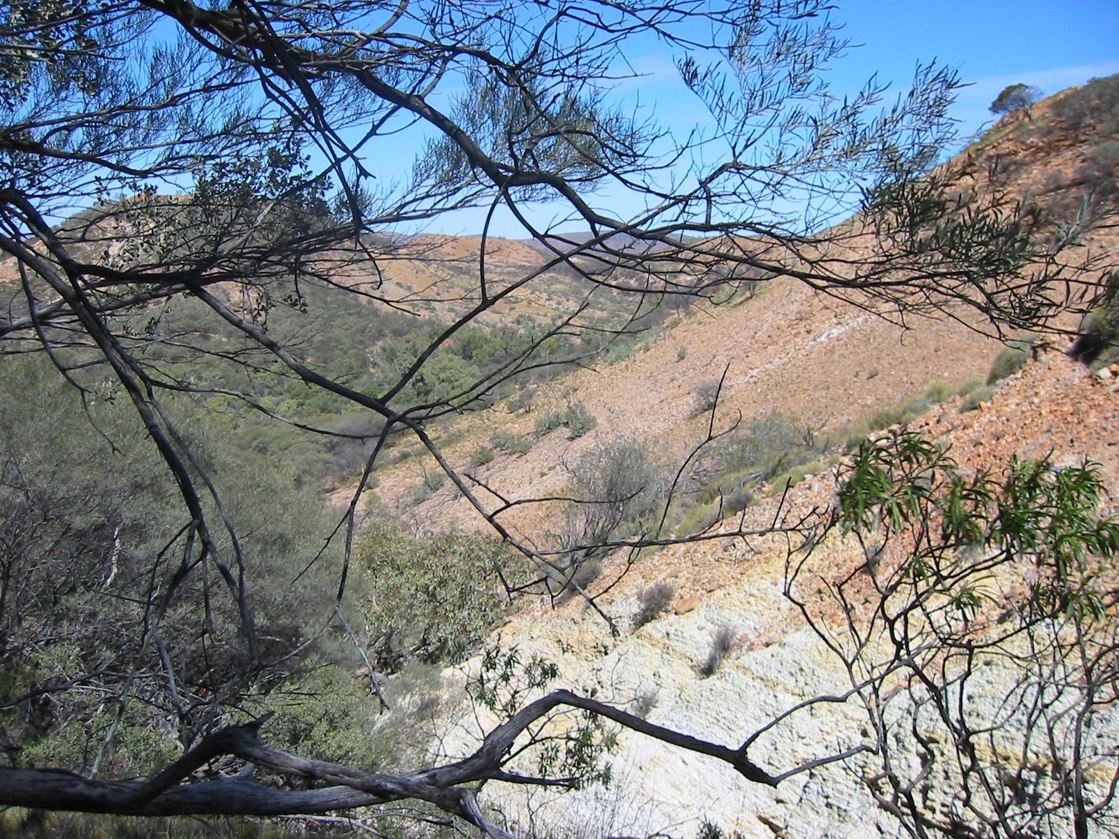
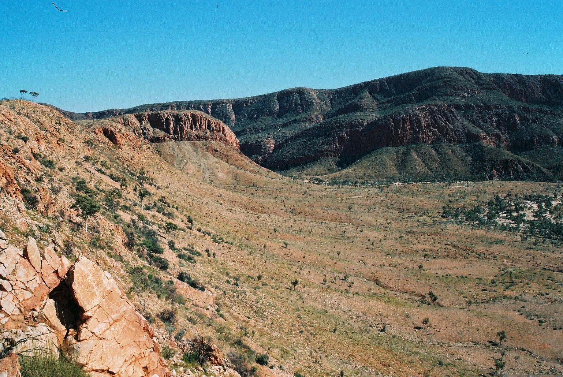
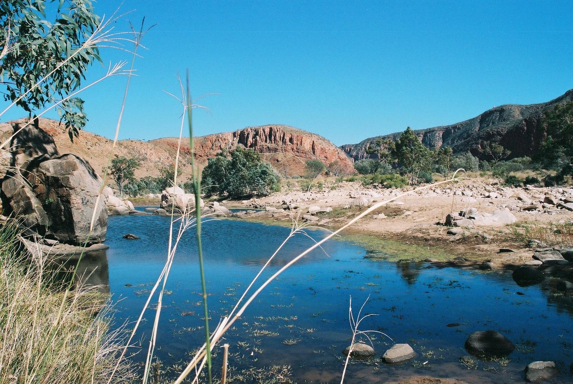
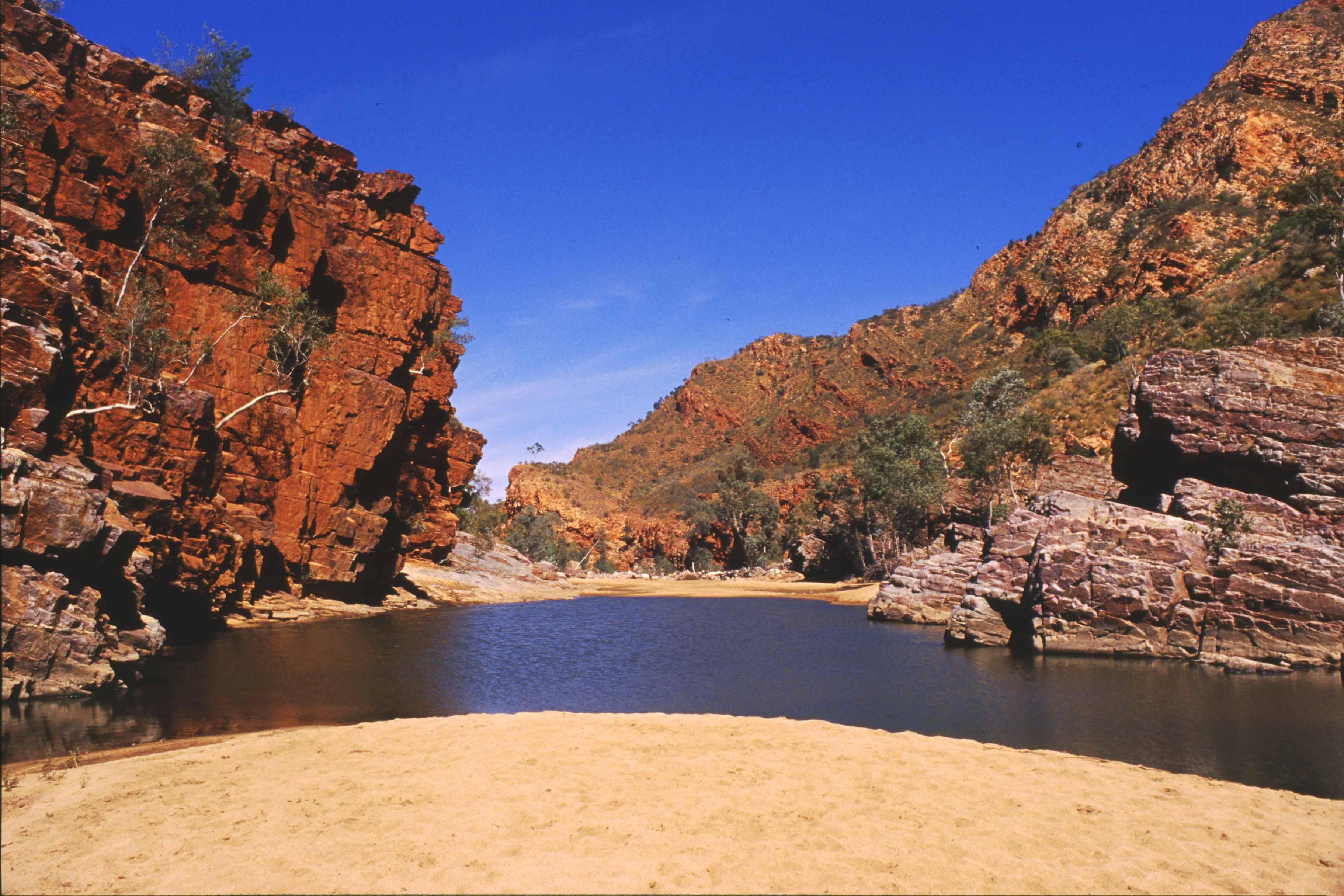
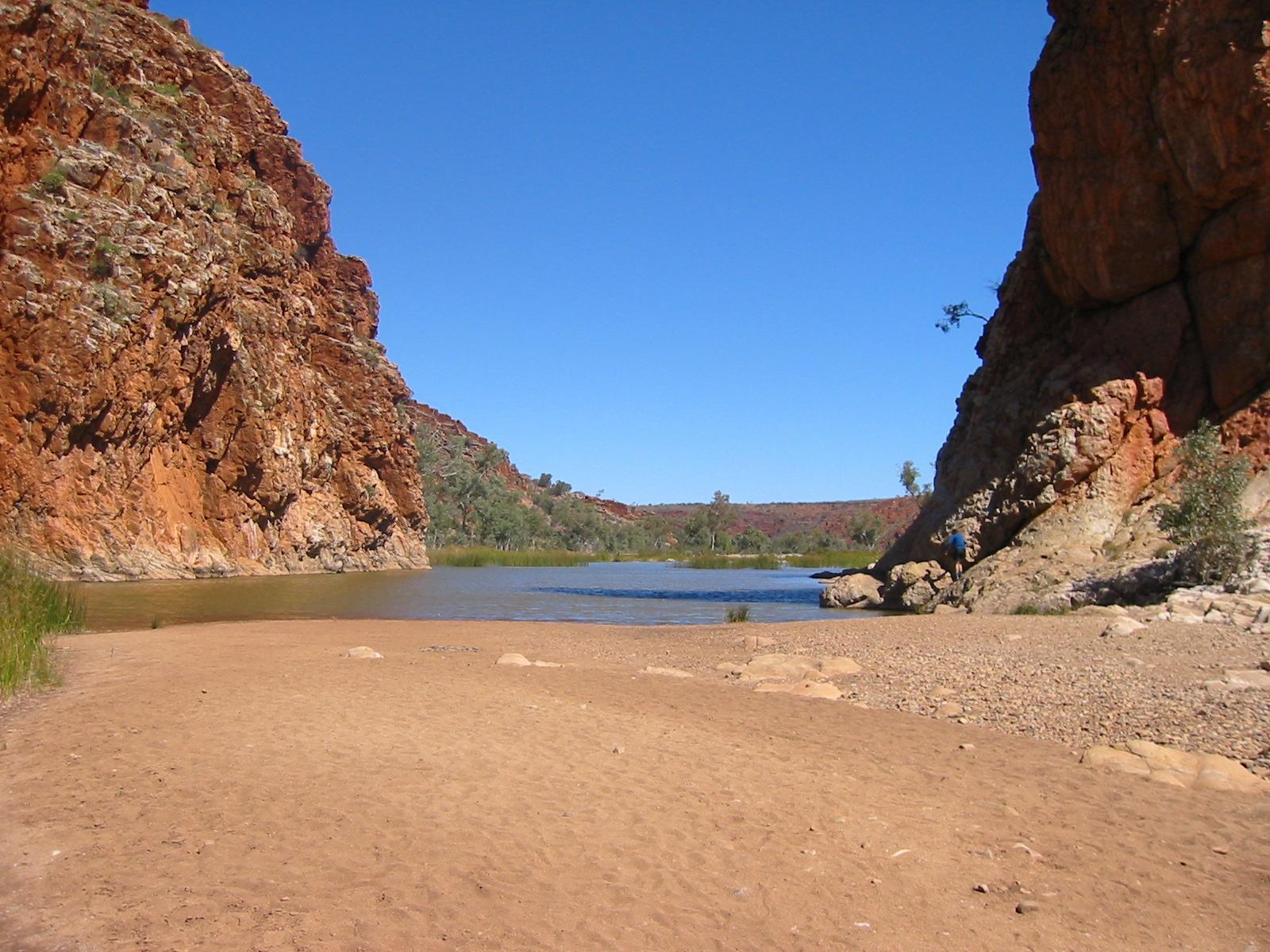
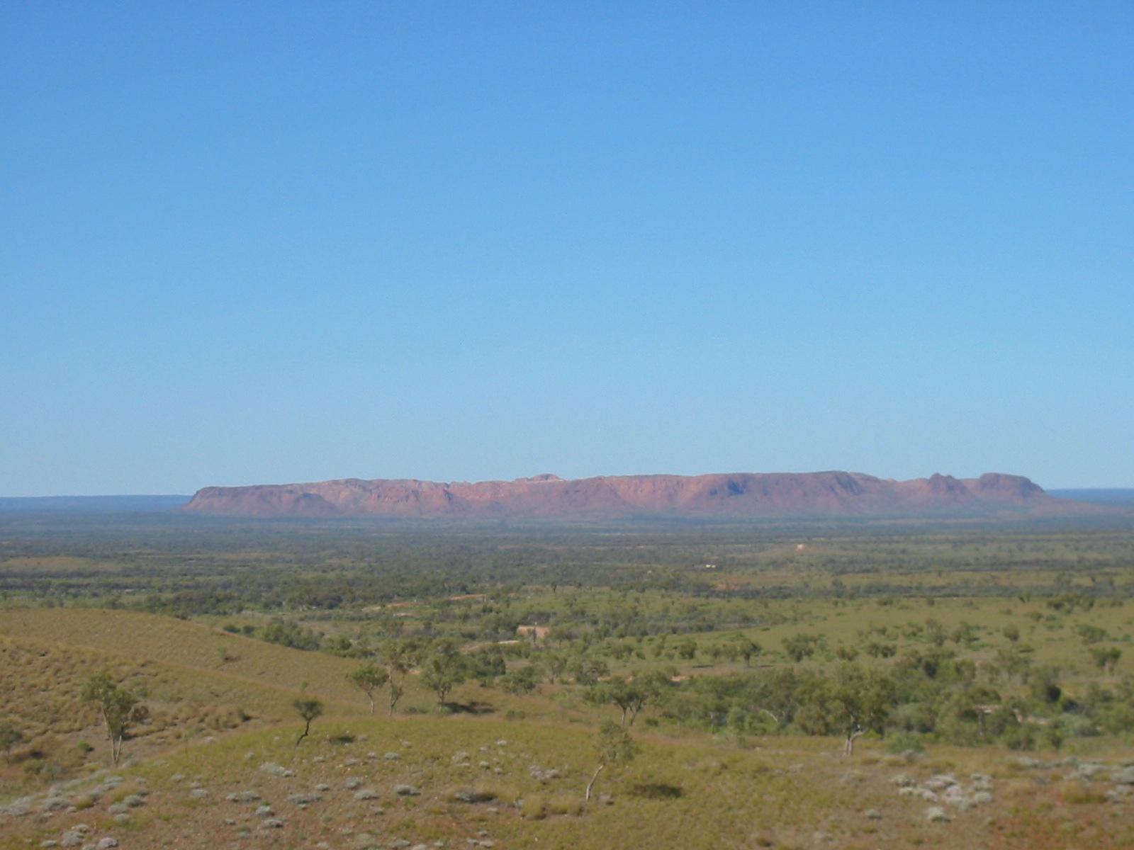
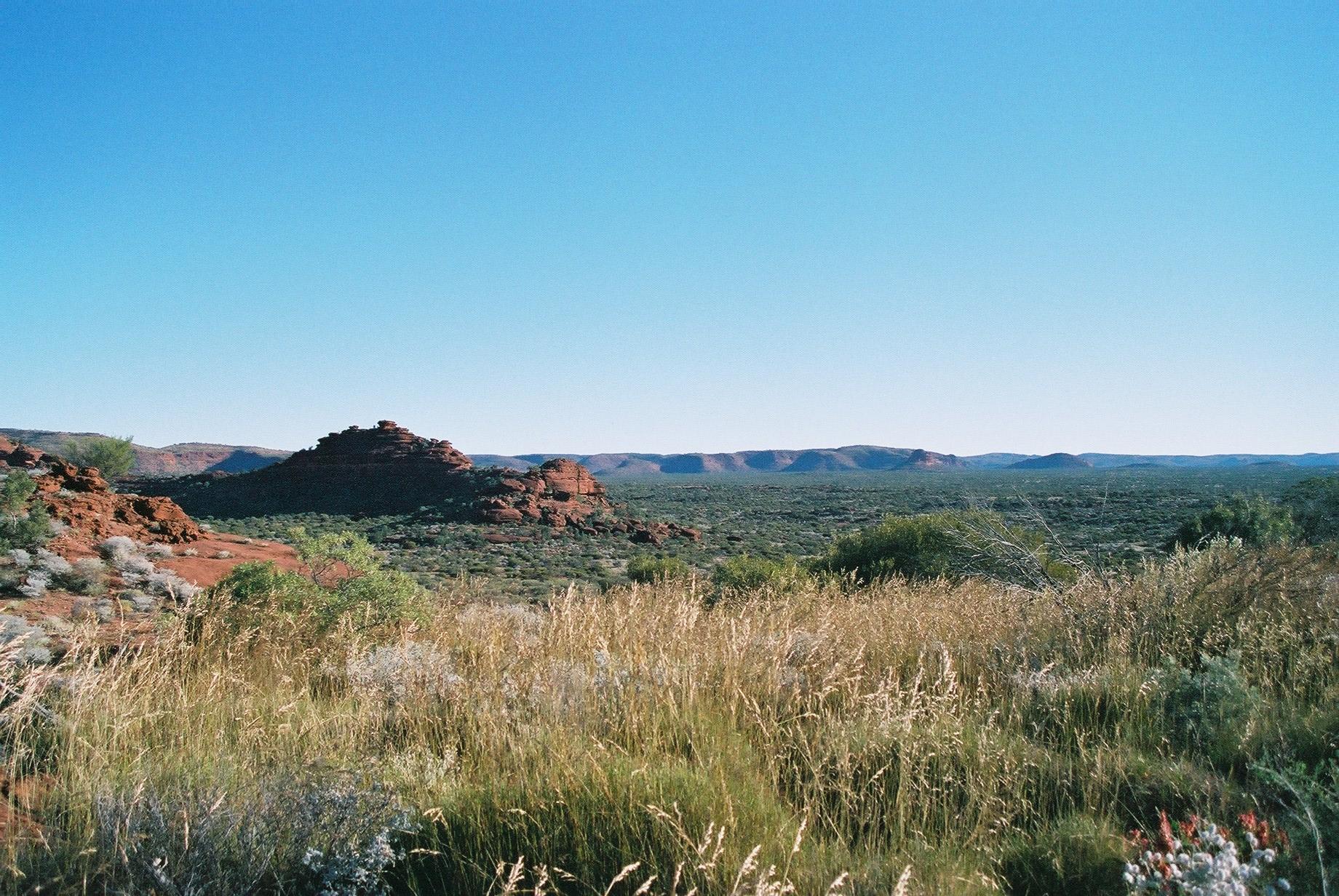
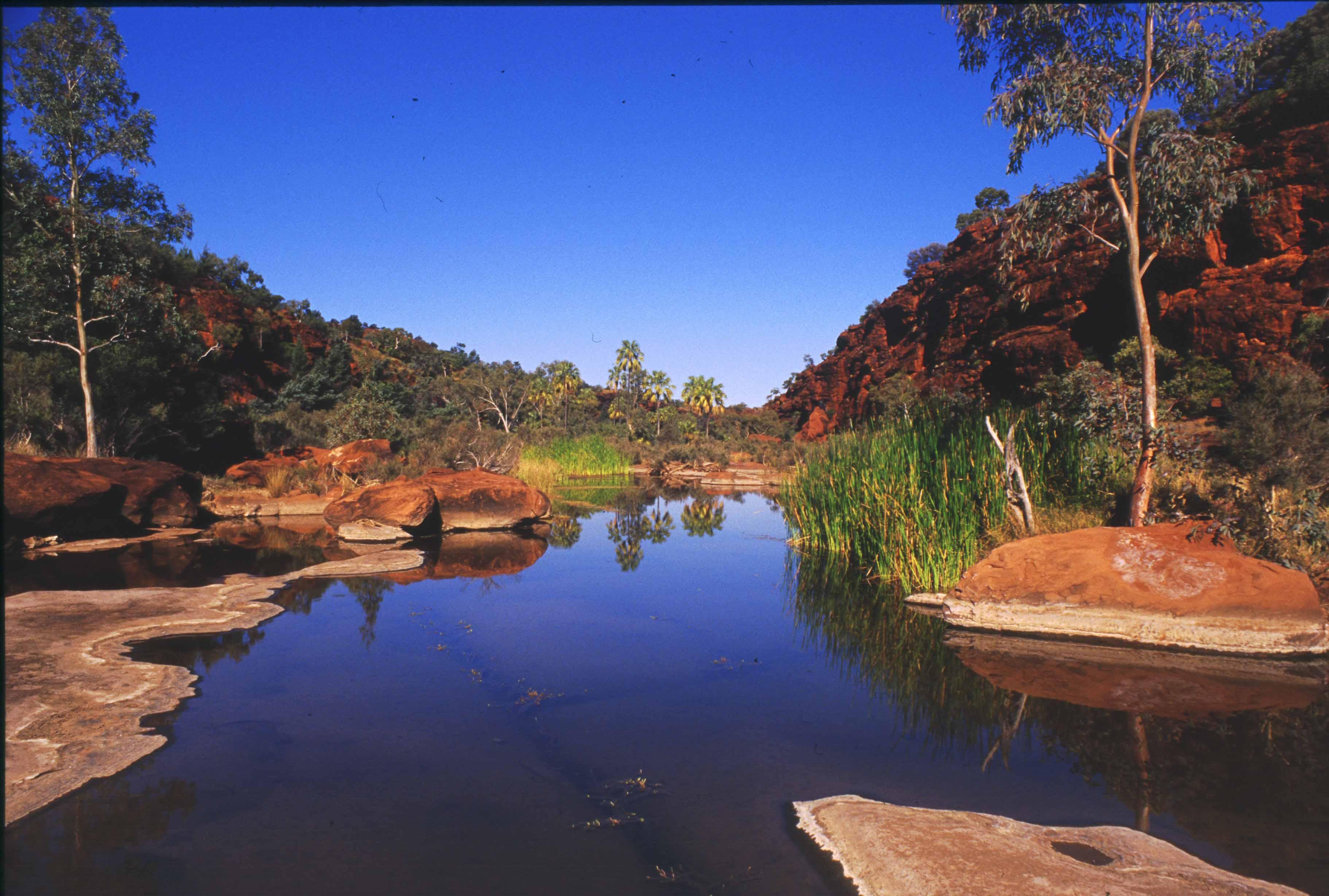
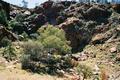
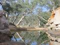
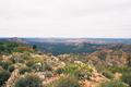
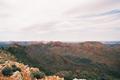
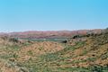
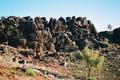
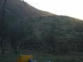
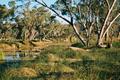
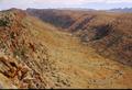
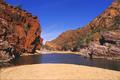
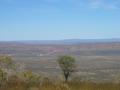
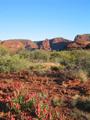
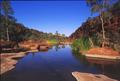
from Stuart's Pass (which isn't a pass at all, but really a flat big
river bed, see picture at the right) the walk is very easy and flat,
along the sandy river bed, until we reach Birthday Waterhole, which we
reach just after 4pm.
It is quite warm by now (26.7° at ASP), the warmest day on the
track. However, as the sun is mostly behind clouds it isn't too bad. And
from Stuart's Pass (which isn't a pass at all, but really a flat big
river bed, see picture at the right) the walk is very easy and flat,
along the sandy river bed, until we reach Birthday Waterhole, which we
reach just after 4pm.
We take a quick dip in the cold waterhole, which isn't overly inviting
as it is full of algae. At 5pm the car is still not here, and Trudy and
Steve go looking for it. About 20 minutes later we hear the typical
noise of a 4WD grinding its way through sand — Penny and Bob did have
some slight problems in finding the right access road, but everything is
fine in the end. Nevertheless, this is a bit ironic, as on this last
planned trip to Alice Penny has picked up a couple of satellite phones,
which we were going to use exactly in cases like this. Once we had them,
we never needed them!
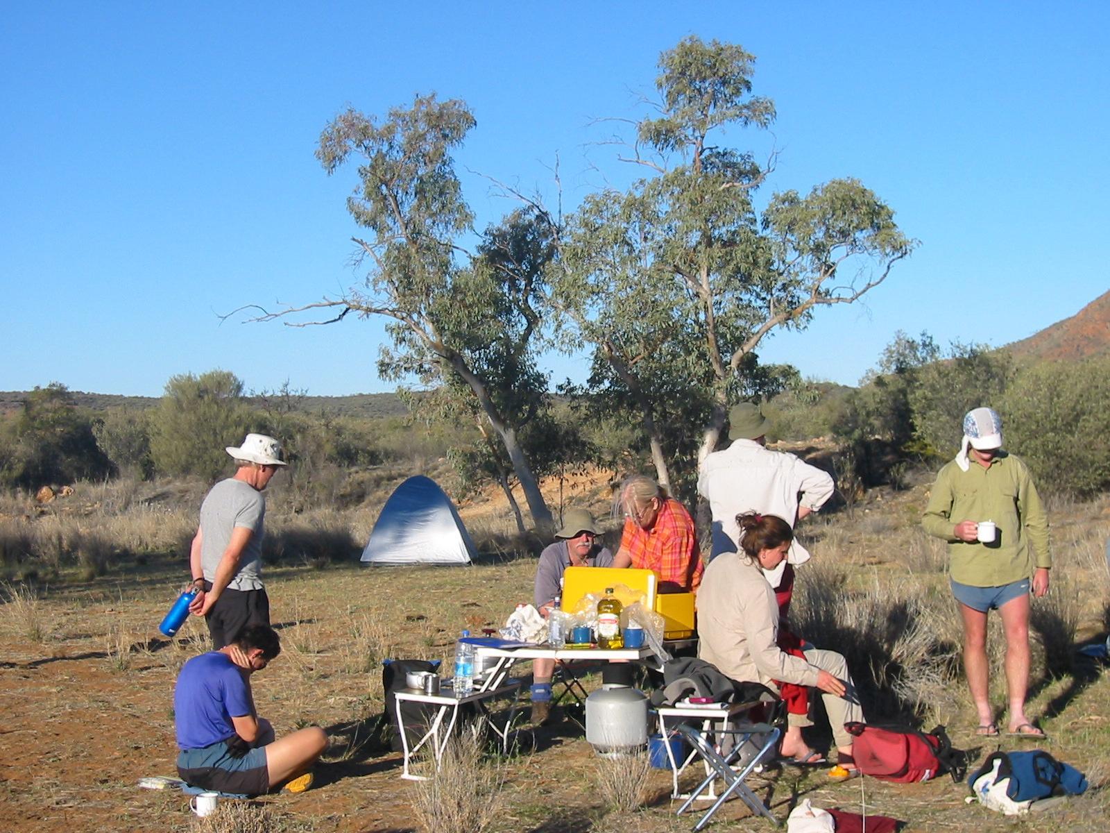
The night is interesting. It's very warm (low of 15°), and a strong
wind starts blowing, and by about 11pm develops into an outright gale
(peaking at 77km/h, that's 8 Beaufort at 3am, according to official
records for ASP). Bob, Ron and Marie who are sleeping in swags in the
sand move to a more protected spot under trees and put up a fly. Steve
and Penny lose the fly of their tent, and Gernot and Trudy get up after
midnight to tie storm guys to their tent and put additional pegs in. The
pegs cannot be trusted much in the sandy soil. However, and much to some
people's surprise, all tents stay up (although most people do not get
all that much sleep). There is actually some rain which, with the strong
wind, feels like a lot, but is actually only just enough to moisten the top of
the sand (ASP records 0.4mm).
The wind calms down before sunrise, and we have no problems enjoying a
halfway normal breakfast. However, the place looks a bit like a
battlefield, with pots and utensils scattered around. Fortunately, the
only breakage is our gas lamp.
Day 5, Tuesday 7 September 2004
Section 5: Birthday Waterhole to Hugh Gorge
Day: 16km; Total: 93.5km
After the excitement of the night (and the following cleanup operations)
we have a slow start, hitting the track just before 9am. It is still
overcast, but the sky clears completely within the first 15 minutes of
walking, and it remains almost cloudless for the rest of the day.
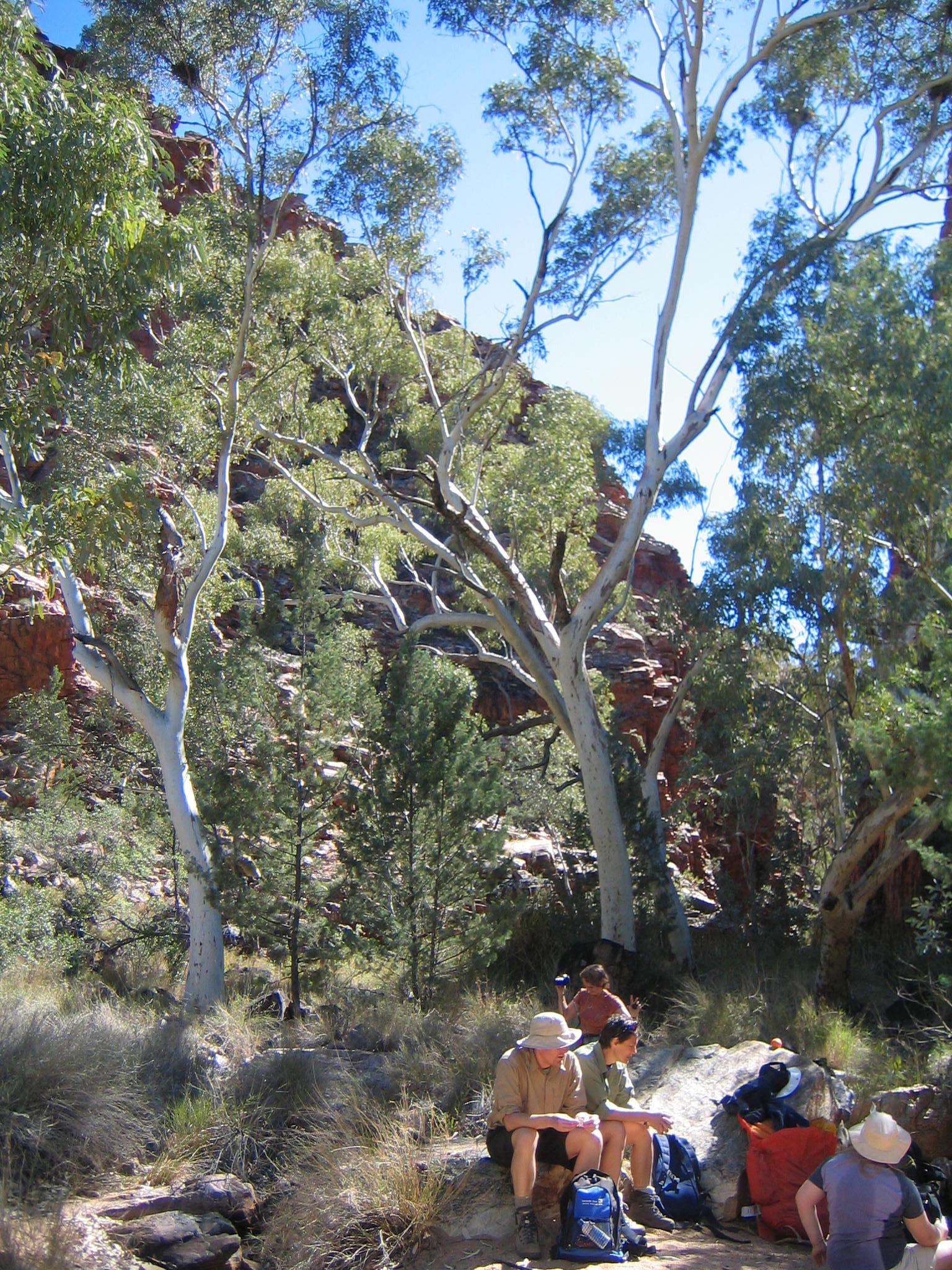
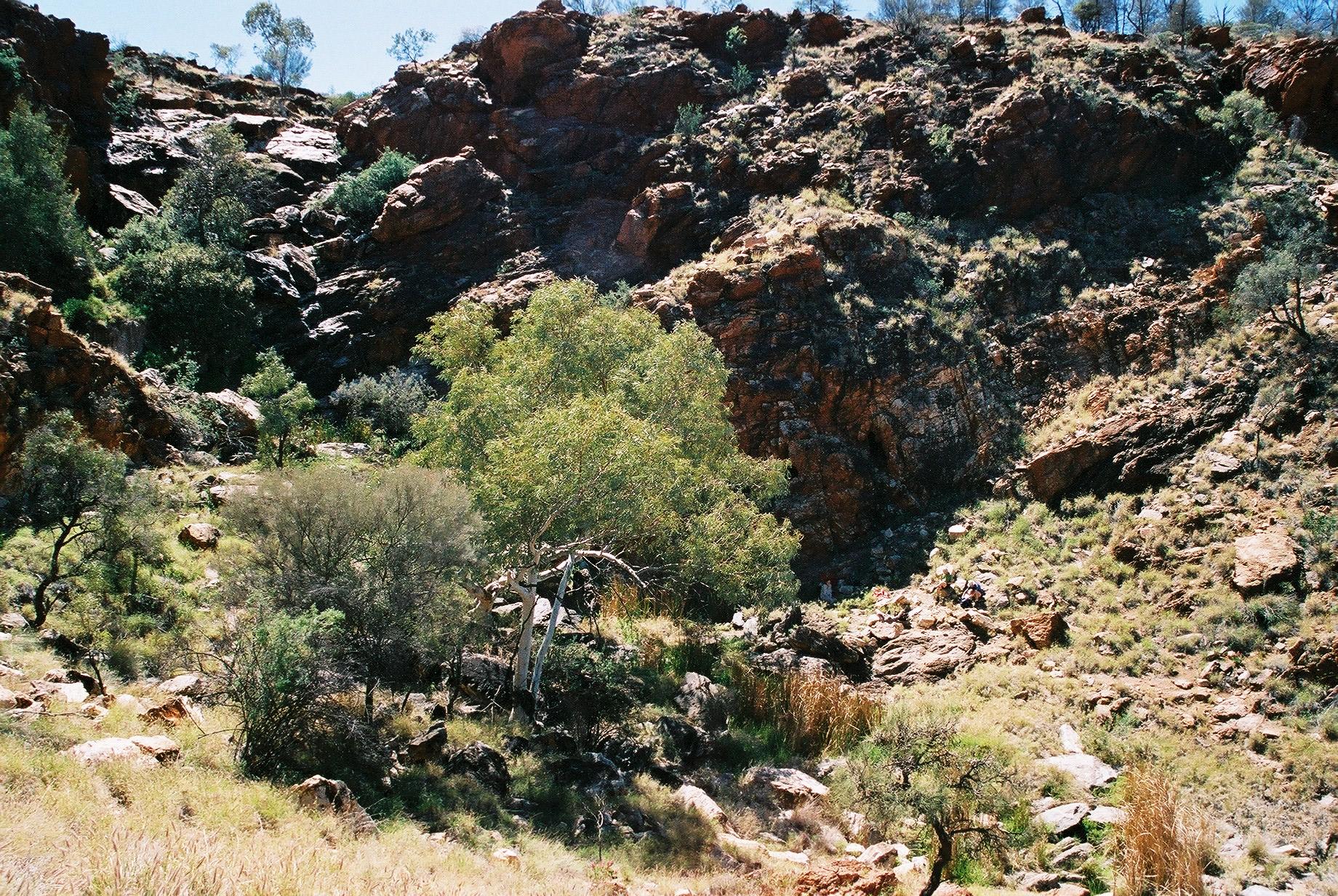
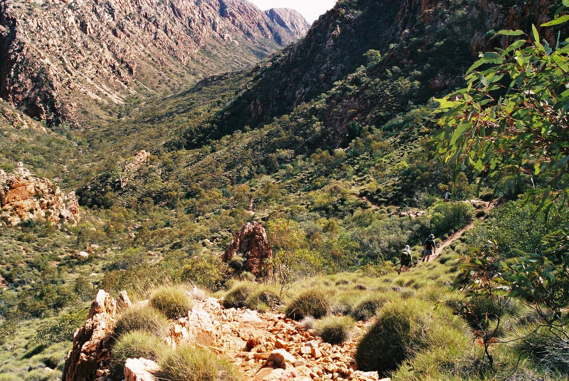
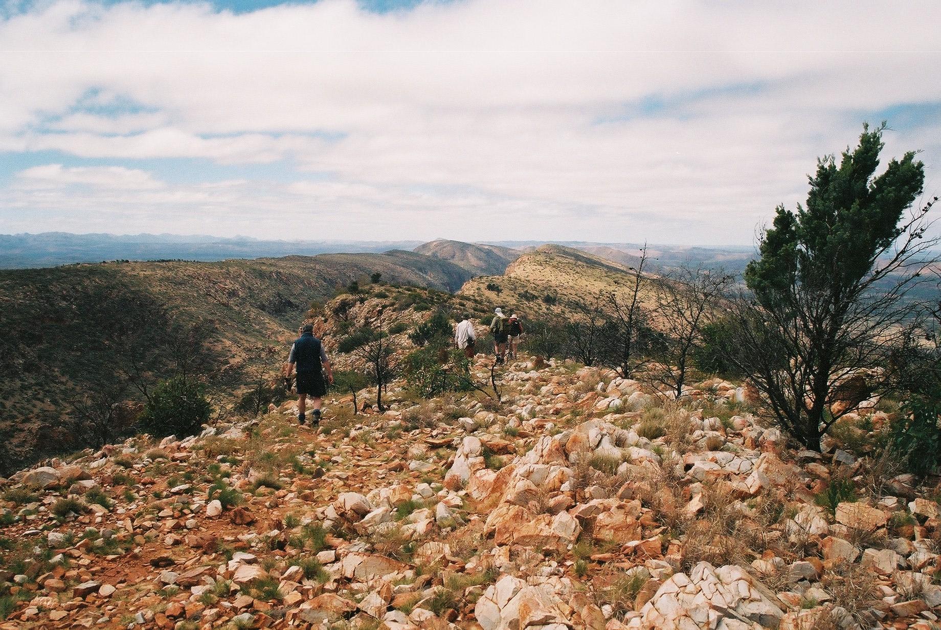
After an easy walk over a small saddle we get into beautiful Spencer
Gorge. This is strenuous walking, including a lot of scrambling over
boulders. It takes us 2h to get through the 1.5km (still fast compared
to the signs at the track head which allow 5.5h for this part).
 Windy Saddle isn't all that windy, but provides a very nice view —
perfect for lunch. From here we walk a rocky path along Razorback Ridge,
until a steep (but easy and zig-zagging) descent down to a creek bed
full of shady river gums. This is a natural spot for camping if one does the
section in two days, although there is no water.
Windy Saddle isn't all that windy, but provides a very nice view —
perfect for lunch. From here we walk a rocky path along Razorback Ridge,
until a steep (but easy and zig-zagging) descent down to a creek bed
full of shady river gums. This is a natural spot for camping if one does the
section in two days, although there is no water.
 Back up again into Linear Valley, which has more switchbacks before
reaching Rocky Saddle. This has a few gum trees right on the top of the
ridge, which runs at right angle to the valley. Against the blue sky
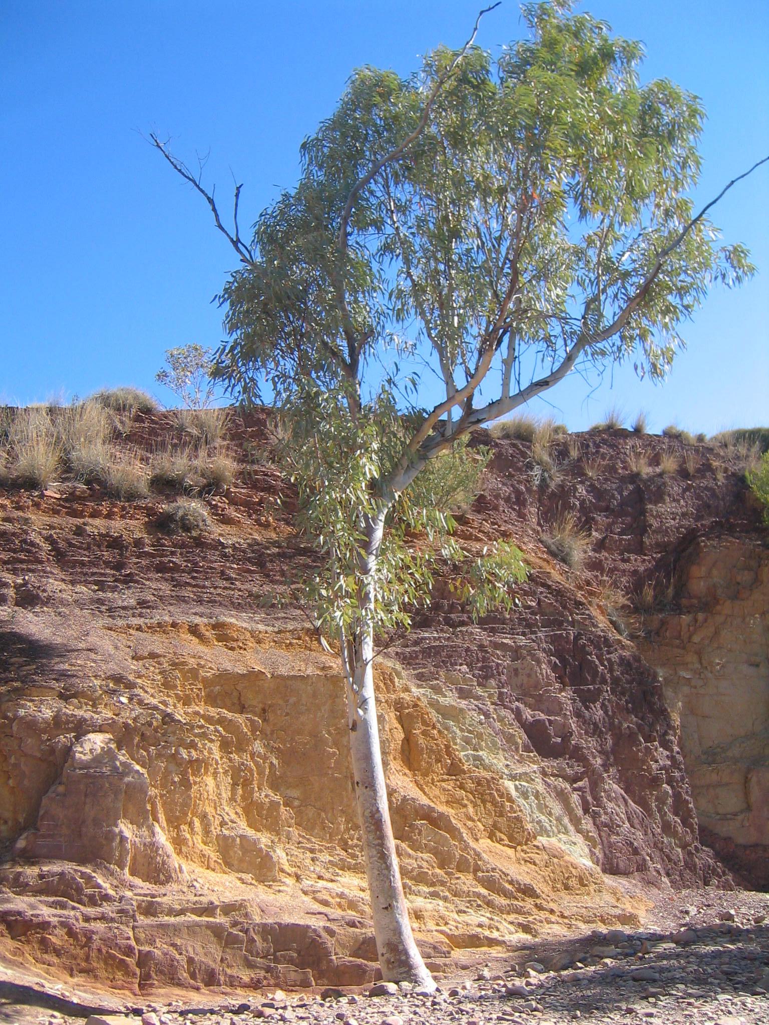
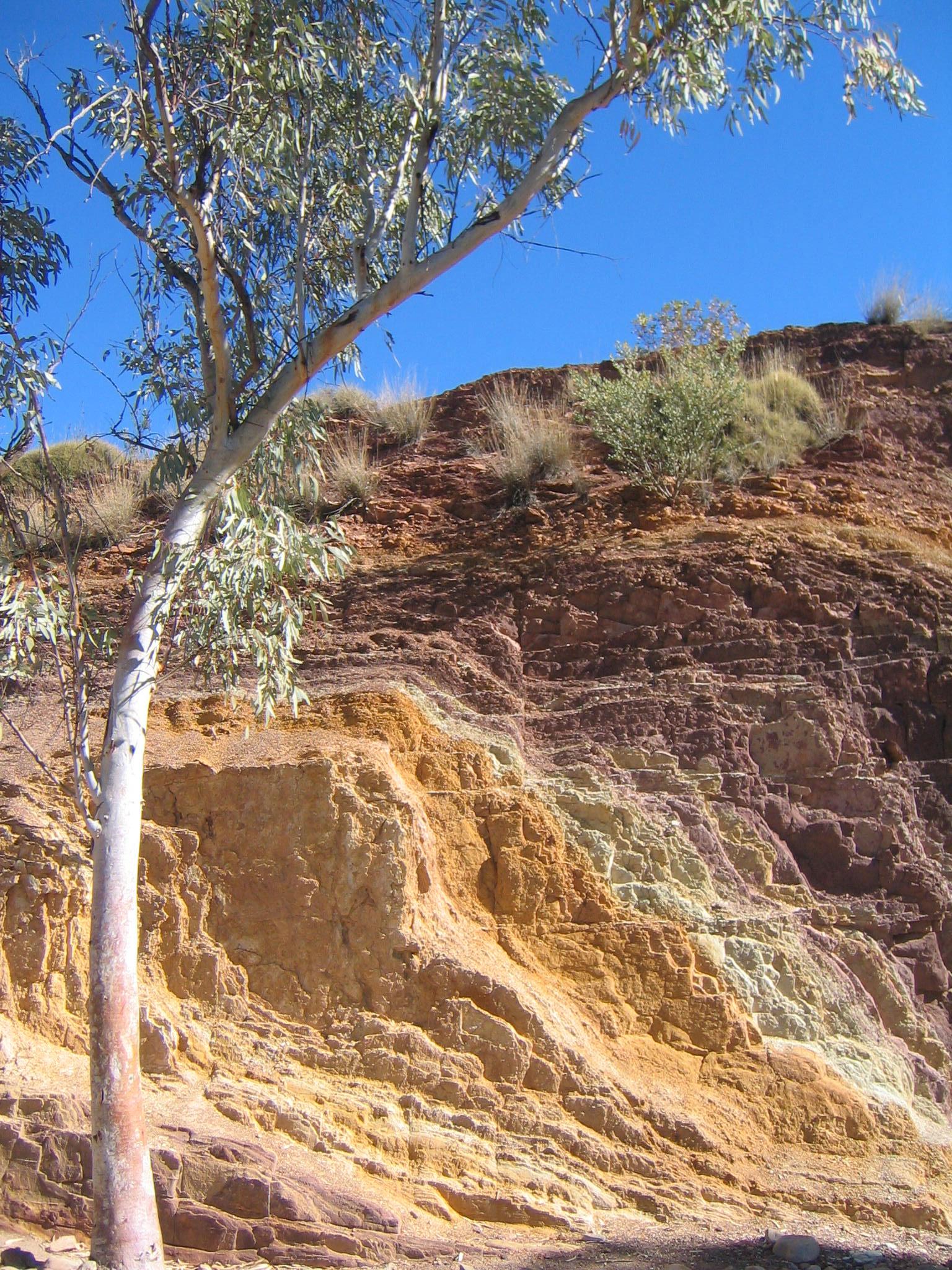
they look quite spectacular coming from below.
Back up again into Linear Valley, which has more switchbacks before
reaching Rocky Saddle. This has a few gum trees right on the top of the
ridge, which runs at right angle to the valley. Against the blue sky
they look quite spectacular coming from below.
Linear Valley continues downhill the other side of the saddle, and
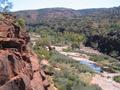
flattens out at Hugh Gorge Junction, another camp site without
water. From there the track is all pretty flat through Pocket Valley and
into Hugh Gorge.
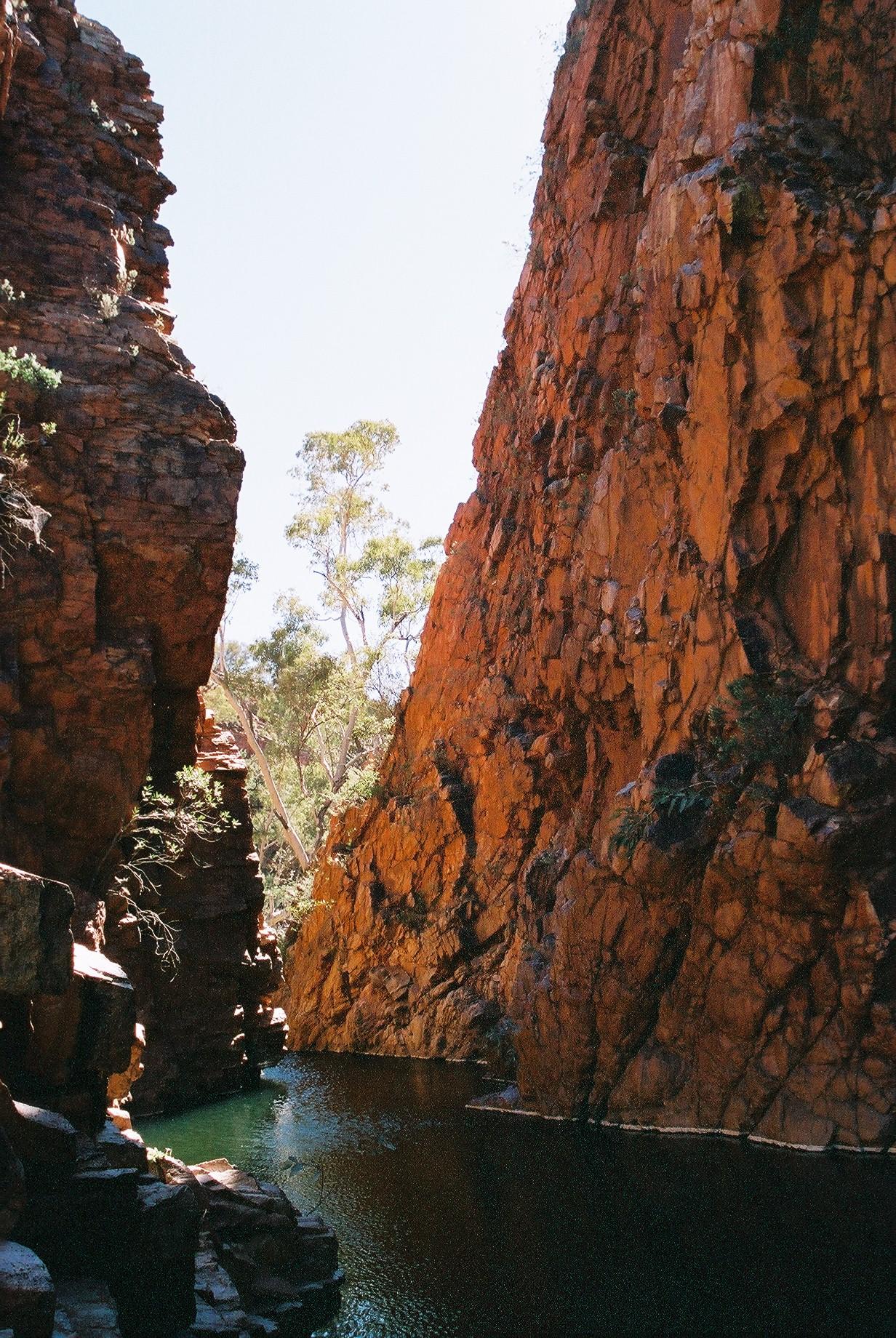
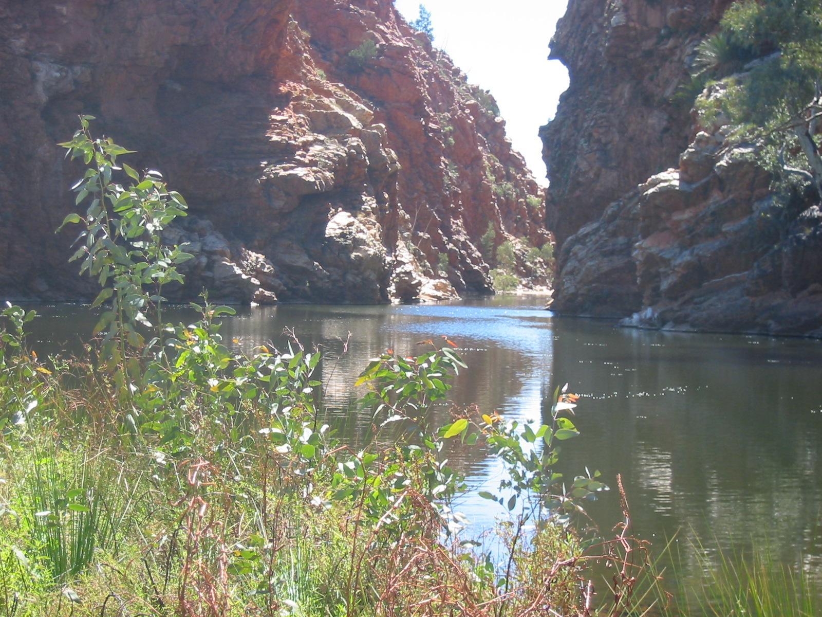
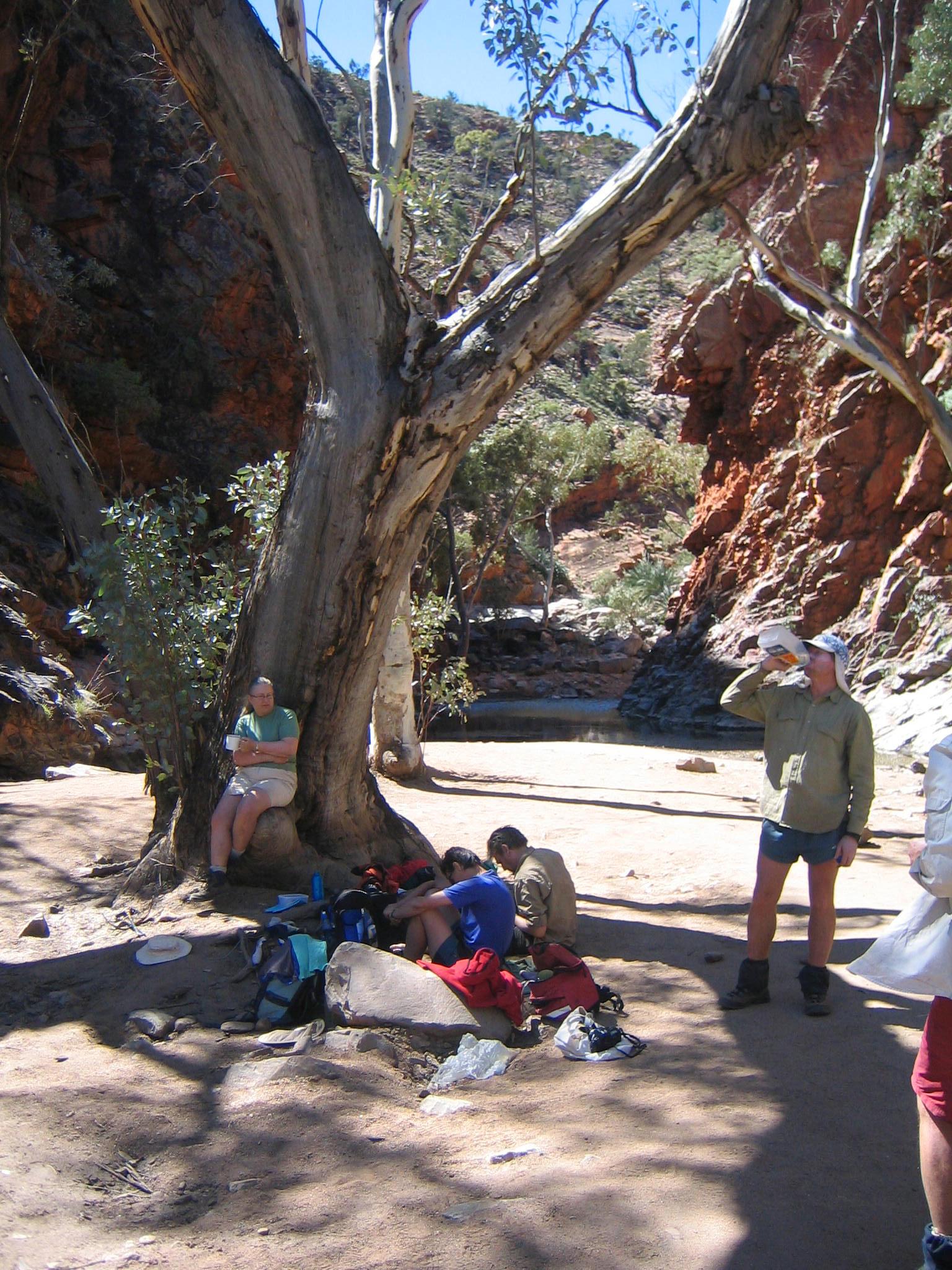
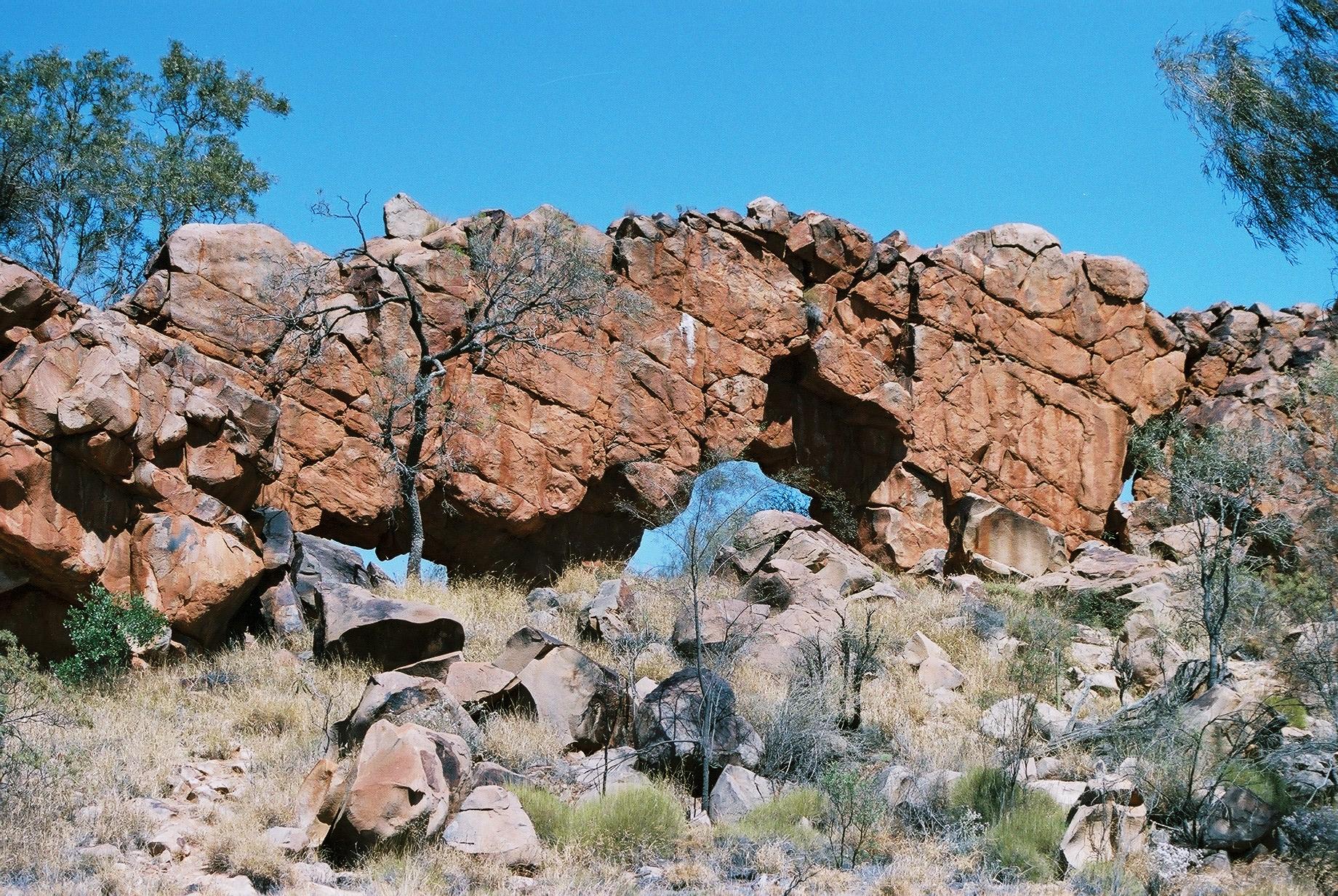
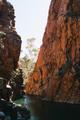
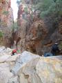
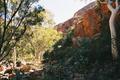
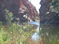
Hugh Gorge has a fair bit of water, and at the top this poses some
challenge, particular as the signposting is much less dense here. This
would normally not be a problem, but now that we are used to having
signs very regularly, and in particular whenever there is any doubt about
where to go, their absence is a bit discomforting. Mostly so when we hit
the first big (and deep!) waterhole and aren't quite sure whether it is
best passed on the right or the left. We finally find a good route,
including a beam serving as a ladder (so this is obviously where we are
meant to pass) but a little sign would have helped and avoided looking
around for half an hour.
 We finally reach camp about 4:15pm, later than expected and just short
of the 4:30 time we had agreed to call each other on the satellite phones
to avoid the parties worrying. The camp is very nice,
sandy but firm ground and lots of bushes and trees.
We finally reach camp about 4:15pm, later than expected and just short
of the 4:30 time we had agreed to call each other on the satellite phones
to avoid the parties worrying. The camp is very nice,
sandy but firm ground and lots of bushes and trees.
Day 6, Wednesday 8 September 2004
Section 6 Part 1: Hugh Gorge to Rocky Gully
Day: 16.5km; Total: 110km
 After a quiet, cool night (with heavy condensation in the tent) we
repack for an overnight walk. The packs are relatively heavy, as we also
carry plenty of water, since we aren't certain about the availability of
water at the planned camp at Rocky Gully. This time everybody but Penny
walks, she'll spend a day and a half in town with friends. First,
however, she needs company to manoeuvre her way back out to the road,
which is a fair bit away (the access is almost all the way back to
Birthday Waterhole). So Ron and Marie go with her, and get dropped off
at Ellery Creek, the other end of this section, from where they walk
towards Rocky Gully.
After a quiet, cool night (with heavy condensation in the tent) we
repack for an overnight walk. The packs are relatively heavy, as we also
carry plenty of water, since we aren't certain about the availability of
water at the planned camp at Rocky Gully. This time everybody but Penny
walks, she'll spend a day and a half in town with friends. First,
however, she needs company to manoeuvre her way back out to the road,
which is a fair bit away (the access is almost all the way back to
Birthday Waterhole). So Ron and Marie go with her, and get dropped off
at Ellery Creek, the other end of this section, from where they walk
towards Rocky Gully.
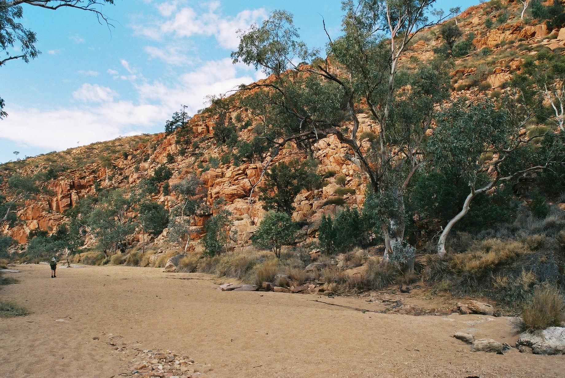
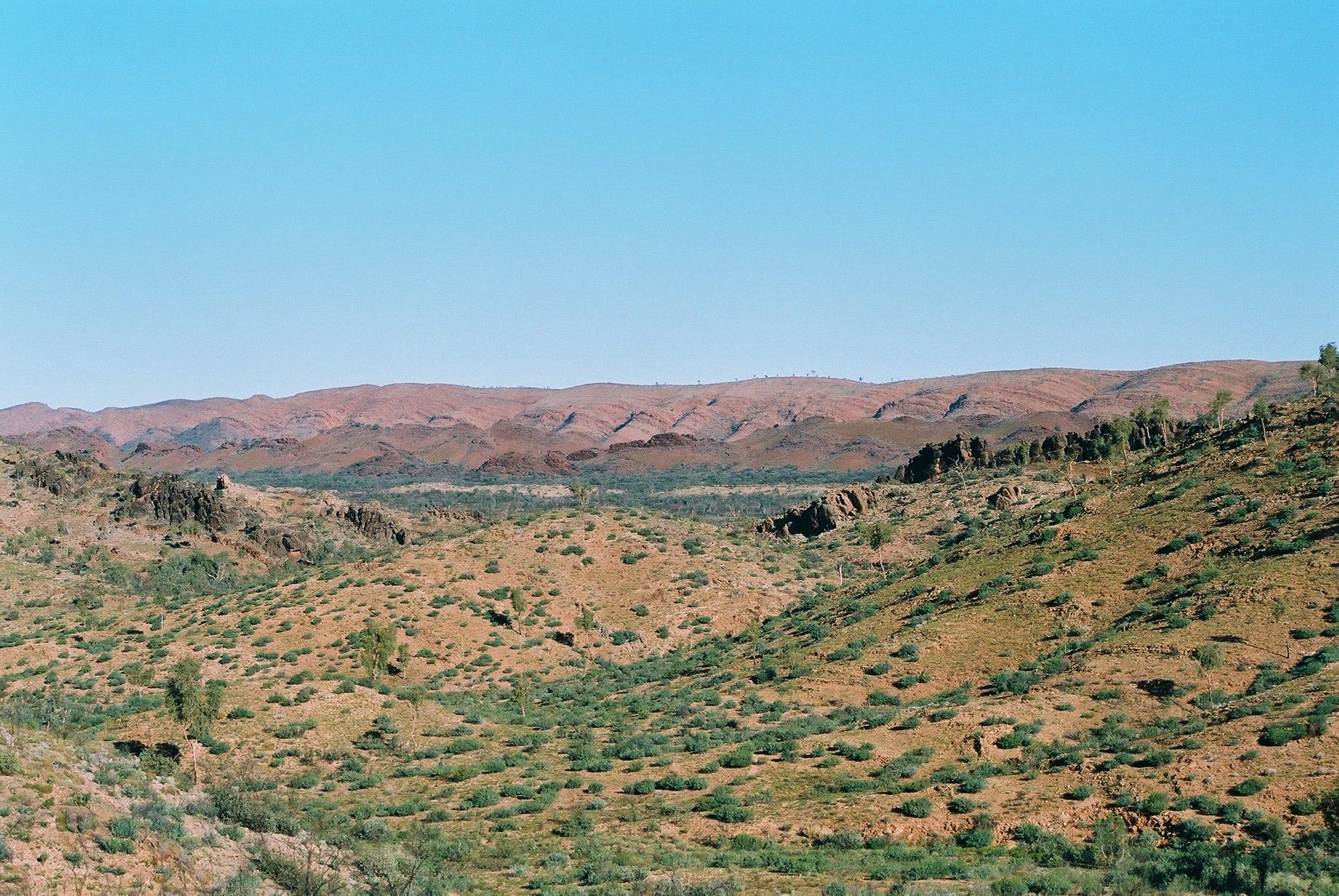
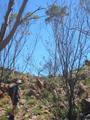
We get off just before 9am. The area was heavily burnt in November 2002,
so there is lots of dead scrub and the area appears less
green. It's a very clear day, with excellent views of the Chewings
Range we are leaving. This section crosses over to the Heavitree Range,
traversing fairly flat territory. Consequently, the walking is mostly easy and
flat.
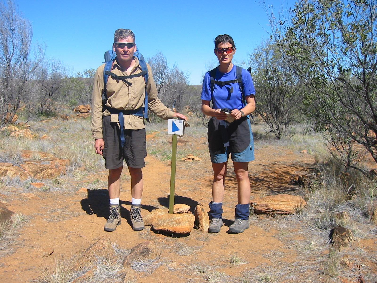
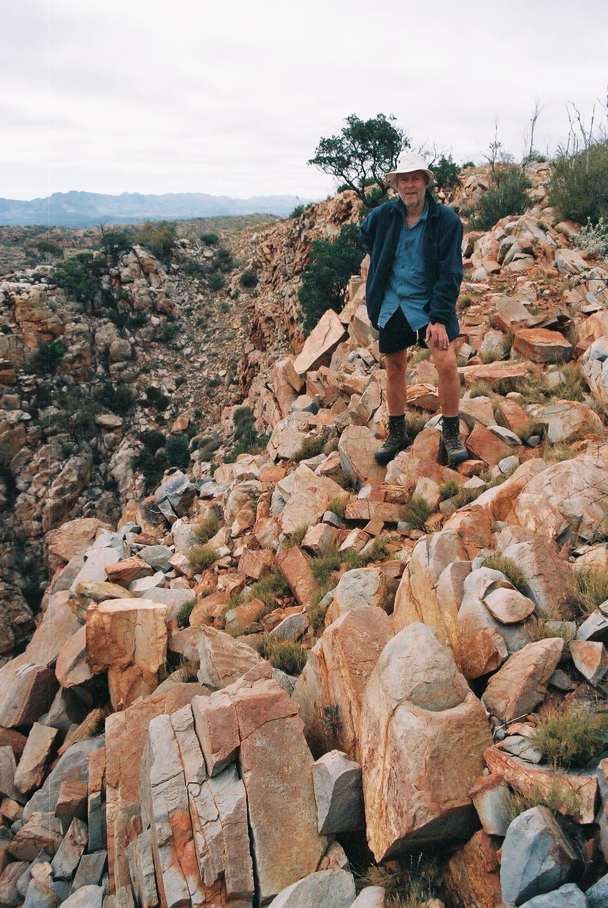
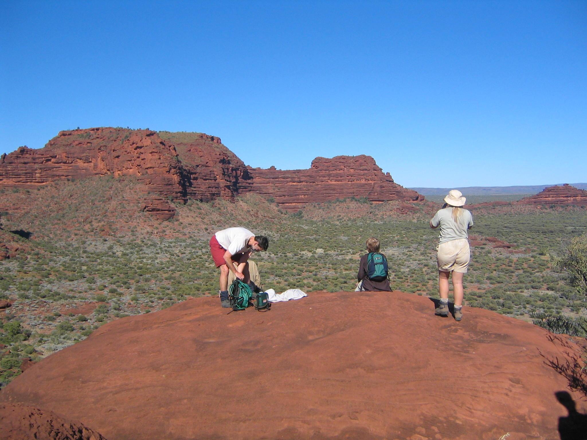
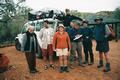
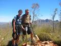
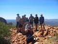
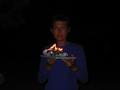
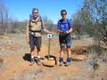 After just over an hour we come across the 100km mark! Feels great
(even though we look rather silly in that picture)...
After just over an hour we come across the 100km mark! Feels great
(even though we look rather silly in that picture)...
After Ghost Gum Flat there is a bit of a climb (about 100m vertical),
but the track is easy and the slope moderate. We have lunch on top of
the hill. Here we meet, for the first time, another walker. He works in
the outdoor shop in Alice Springs and is doing this as a two-day walk:
from Hugh Gorge to near the Saddle close to Ellery Creek, and back the
next day (where we meet him).
The rest of the day's walk is quite uneventful. The last bit to Rocky
Gully is a short, steep descent. At about 2:30pm we reach the camp,
which has plenty of water in the tanks. All in all, it was an easy day,
except for the weight. Ron and Marie have it harder, as they don't get
to start until about 11am, and walk mostly during the hottest part of
the day. Marie is quite exhausted when she arrives.
Dinner is somewhat on the simple side that night, as there is no car
with all the luxuries, and no chef...
Day 7, Thursday 9 September 2004
Section 6 Part 2: Rocky Gully to Ellery Creek
Day: 16km; Total: 126km
We manage a relatively early start, hitting the trail at around 7:30. We
have beautify early-morning light, which makes the ranges ahead look
truly stunning.

 The first stretch out from camp is a bit rocky, but generally the track
continues to be flat and easy to walk. The ascent to the Saddle is the
main challenge, but that isn't particularly bad. Nevertheless, Gernot is
experiencing slight knee problems early in the morning. It was probably
a mistake to start moving ahead very slowly while the others
get ready. Seems best to move at a good pace and use the sticks as much
as possible. Fortunately, the knee improves during the day
and is fine again the next.
The first stretch out from camp is a bit rocky, but generally the track
continues to be flat and easy to walk. The ascent to the Saddle is the
main challenge, but that isn't particularly bad. Nevertheless, Gernot is
experiencing slight knee problems early in the morning. It was probably
a mistake to start moving ahead very slowly while the others
get ready. Seems best to move at a good pace and use the sticks as much
as possible. Fortunately, the knee improves during the day
and is fine again the next.
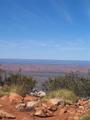
 From the saddle the view of the ranges is, once more, magnificent. From there
the last 3km, while relatively flat and mostly downhill, feel quite long, as
we walk over fairly reflective rocks in the middle of the day, so we
feel rather hot, even though the day's maximum is not much above
20°.
From the saddle the view of the ranges is, once more, magnificent. From there
the last 3km, while relatively flat and mostly downhill, feel quite long, as
we walk over fairly reflective rocks in the middle of the day, so we
feel rather hot, even though the day's maximum is not much above
20°.
 Ellery Creek waterhole is huge, probably about 100m across, and very
beautiful. It is also very cold, probably below 10°. So
cold that we stay in there only for seconds, in spite feeling very hot
after the day's walk. The ducks swimming in it will appreciate it...
Ellery Creek waterhole is huge, probably about 100m across, and very
beautiful. It is also very cold, probably below 10°. So
cold that we stay in there only for seconds, in spite feeling very hot
after the day's walk. The ducks swimming in it will appreciate it...
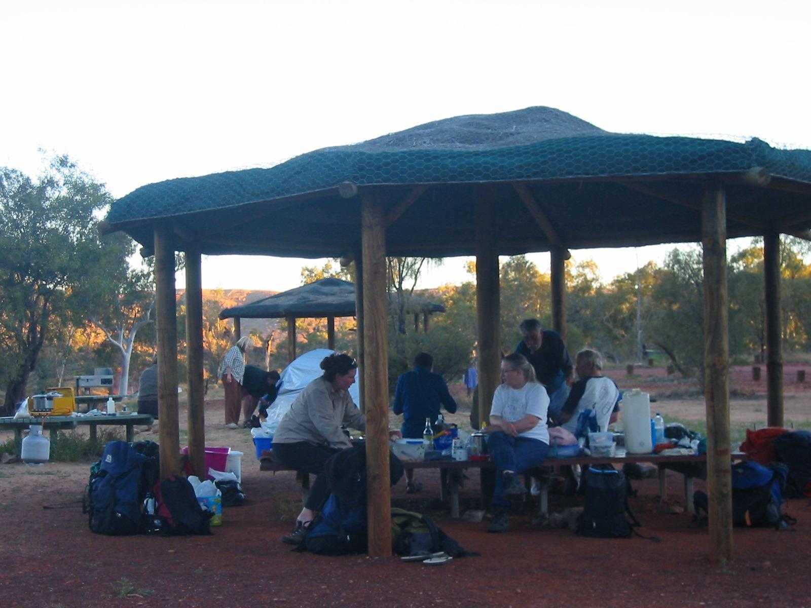
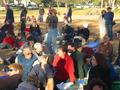
 The campground is big and equipped with several toilets, and water
taps. This is the busiest camp so far, with 5 or 6 other parties
camping, including two women with a noisy kid, and a pair of grey
nomads who can talk endlessly about camper vans.
The campground is big and equipped with several toilets, and water
taps. This is the busiest camp so far, with 5 or 6 other parties
camping, including two women with a noisy kid, and a pair of grey
nomads who can talk endlessly about camper vans.
Day 8, Friday 10 September 2004
Section 7: Ellery Creek to Serpentine Gorge
Day: 15km; Total: 141km
 The morning is cool (night temperature was 3.5°) and somewhat windy,
but glorious. Before rising over the hill we came down the previous
afternoon, the sun illuminates the vegetation along the top, creating an aura
of light around it.
The morning is cool (night temperature was 3.5°) and somewhat windy,
but glorious. Before rising over the hill we came down the previous
afternoon, the sun illuminates the vegetation along the top, creating an aura
of light around it.
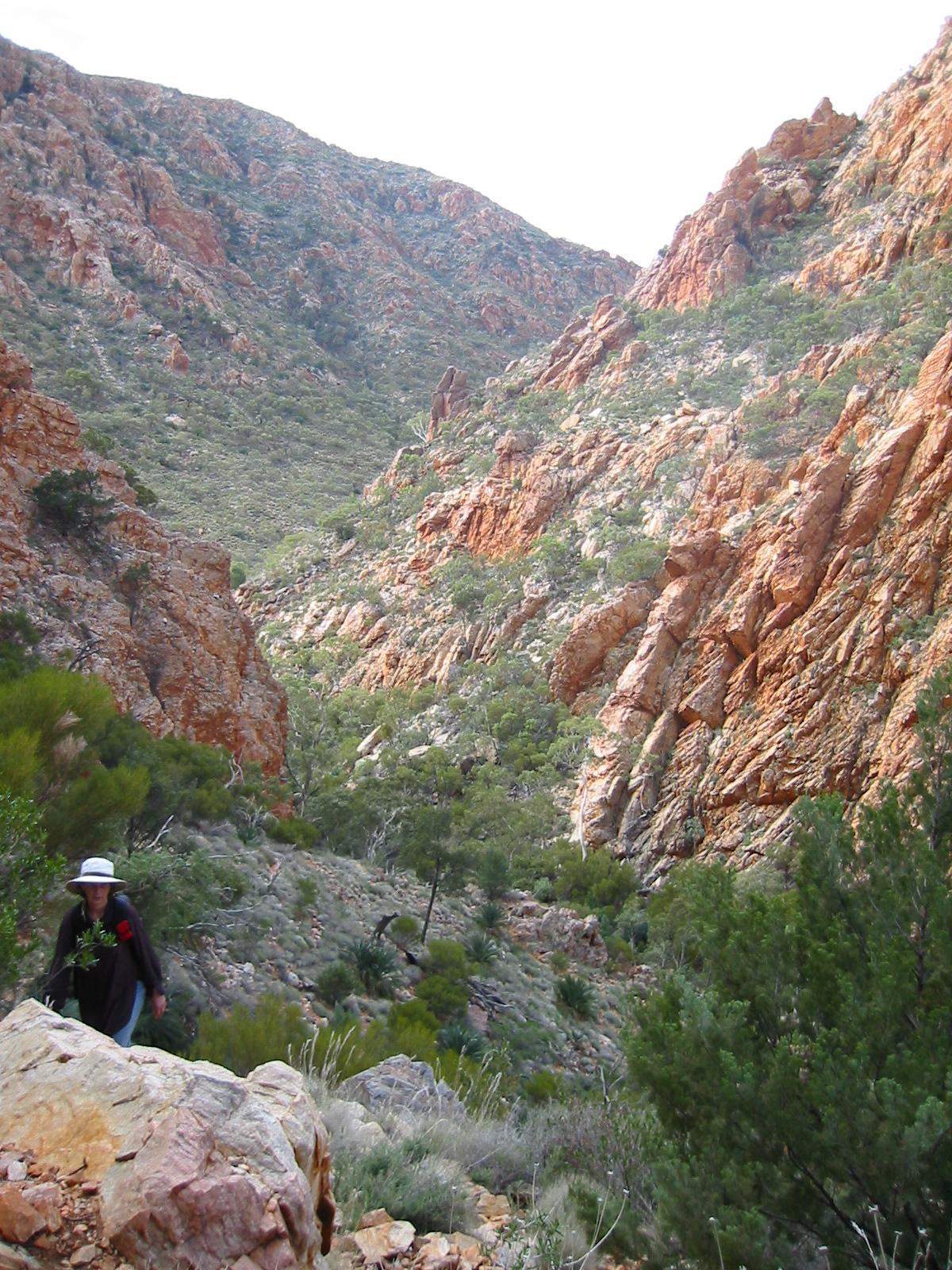
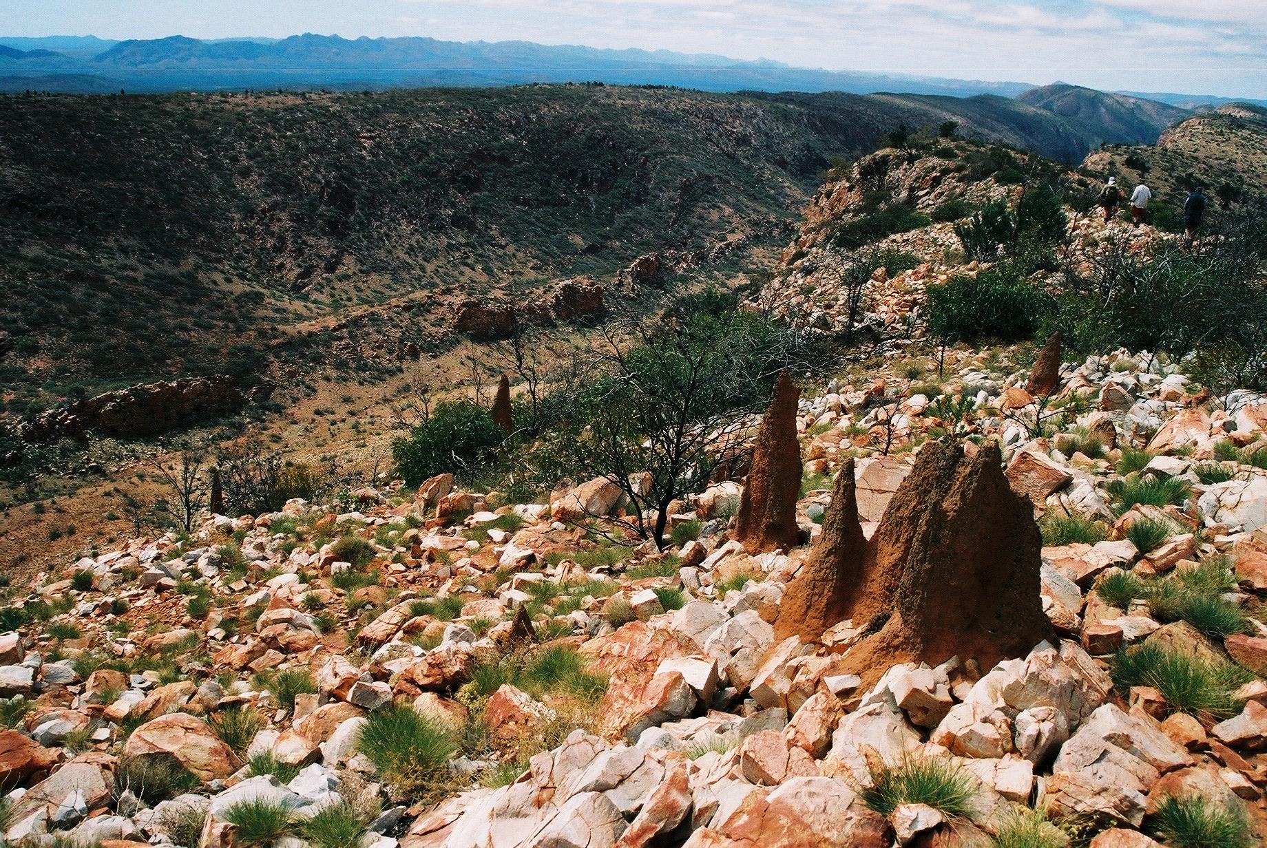
 We leave around 8:30. The track goes uphill and then along a low
mini-ridge parallel to the main ridge. The walking there is a bit
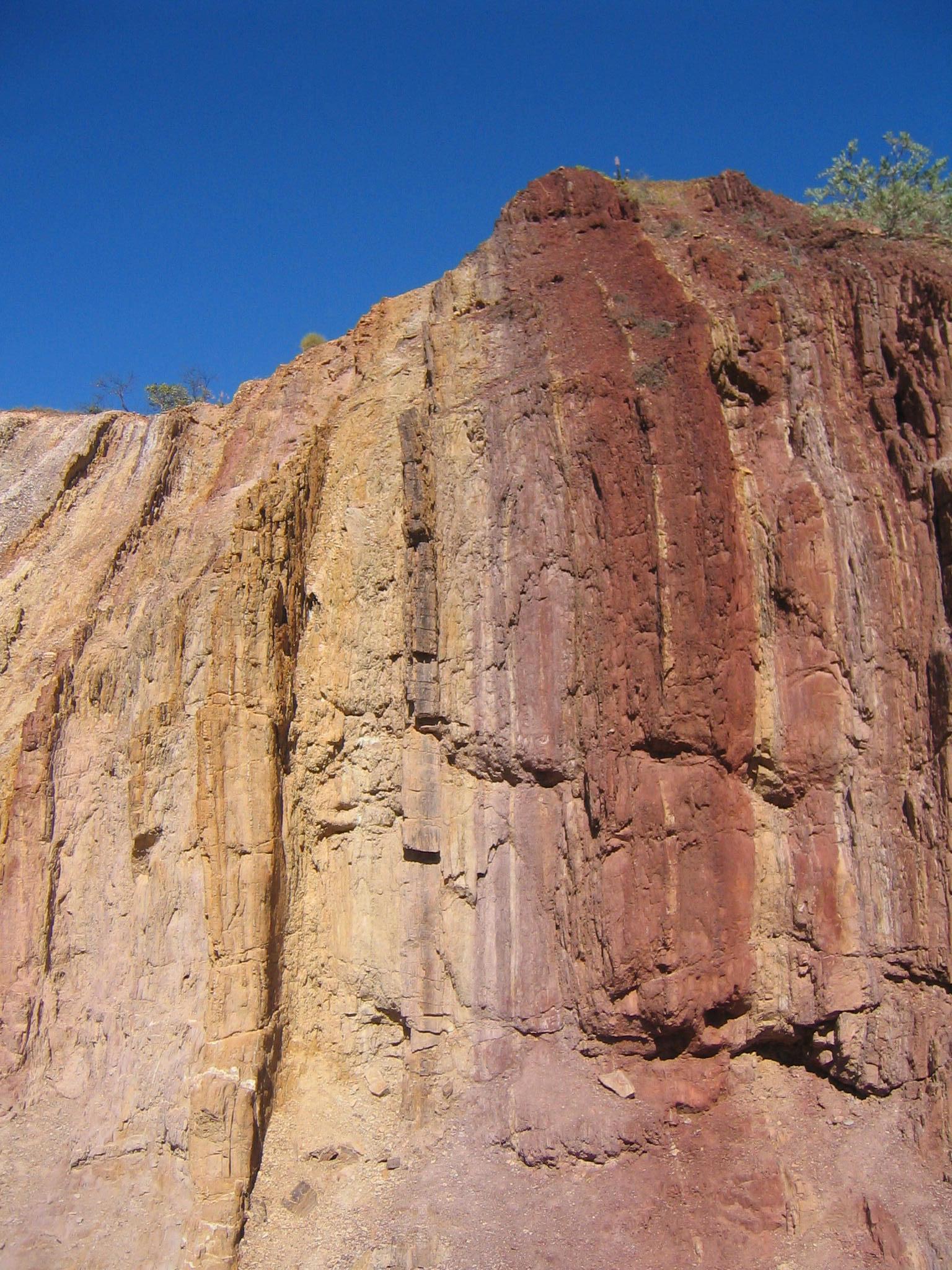
strenuous, as the ground is very uneven with the rock unevenly eroded,
often producing outcrops that look like mushrooms.
We leave around 8:30. The track goes uphill and then along a low
mini-ridge parallel to the main ridge. The walking there is a bit
strenuous, as the ground is very uneven with the rock unevenly eroded,
often producing outcrops that look like mushrooms.
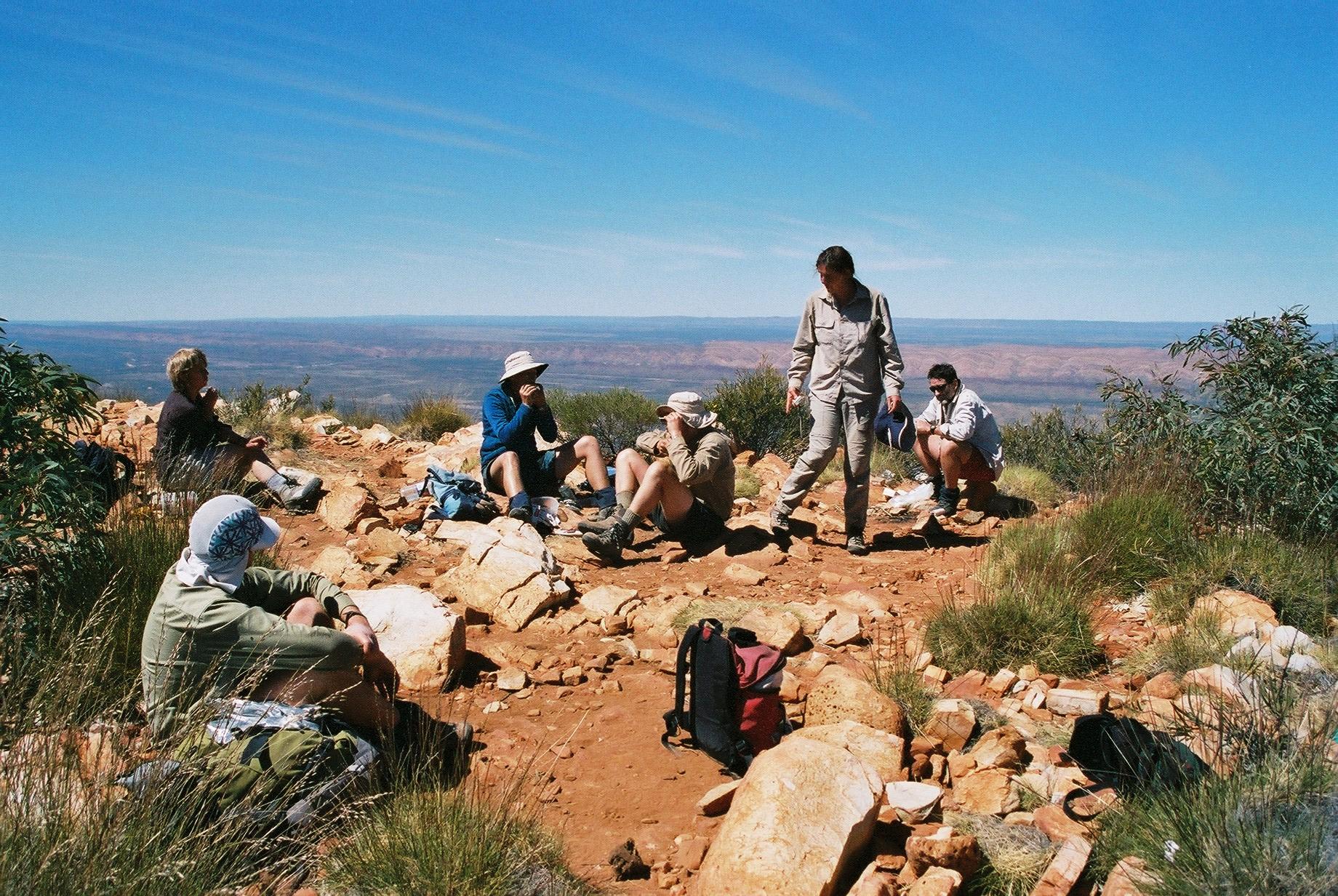
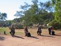
 We have a break at about half way, at a top with a big marker for
trigonometry. We see a bunch of wild horses down in the valley about
halfway towards Namatjira Drive to the south of us. After the climb down from the
trig point, the walking becomes easier as it goes along the kind of
terrain we have got used to.
We have a break at about half way, at a top with a big marker for
trigonometry. We see a bunch of wild horses down in the valley about
halfway towards Namatjira Drive to the south of us. After the climb down from the
trig point, the walking becomes easier as it goes along the kind of
terrain we have got used to.
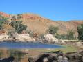
 At about 12:15 we arrive at Serpentine Gorge, which has a beautiful
waterhole, popular with little finchen. We have lunch, and Trudy and
Gernot take a refreshing swim, as it has got quite warm again
(temperature is above 26° again).
At about 12:15 we arrive at Serpentine Gorge, which has a beautiful
waterhole, popular with little finchen. We have lunch, and Trudy and
Gernot take a refreshing swim, as it has got quite warm again
(temperature is above 26° again).
After walking the last km to the car park we see signs at the trail head
telling us not to swim in the waterhole (which has great cultural
significance to the Aborigines). We feel a bit guilty, but from where we
came there was really no sign or other indication that swimming was not
ok.
They also closed the camp ground (which in the distant past must have
been a major site, it has a big rainwater tank, a pump and remnants of
power outlets for camper vans!). Again, no sign about no camping at the old
camp ground itself; had we just come along the track and stopped there we
would have had no idea that we weren't supposed to camp. In fact, we
suspect that they really don't want any car camping there, and probably
don't mind unsupported Larapinta walkers (who really
don't have much of an alternative anyway).
Being good citizens we do as recommended and drive to Serpentine Gorge
Bush Camp, which is euphemistically advertised as being
“special” for having no facilities ;-) “No
facilities” is definitely an accurate description. On top of this,
the camp also has very hard soil, but makes up for it by having bindii
in excess. They are everywhere, and a real pain in the butt (quite
literally ;-). We decide to rename the place “Camp Bindi”. A
must for all masochists!
Day 9, Saturday 11 September 2004
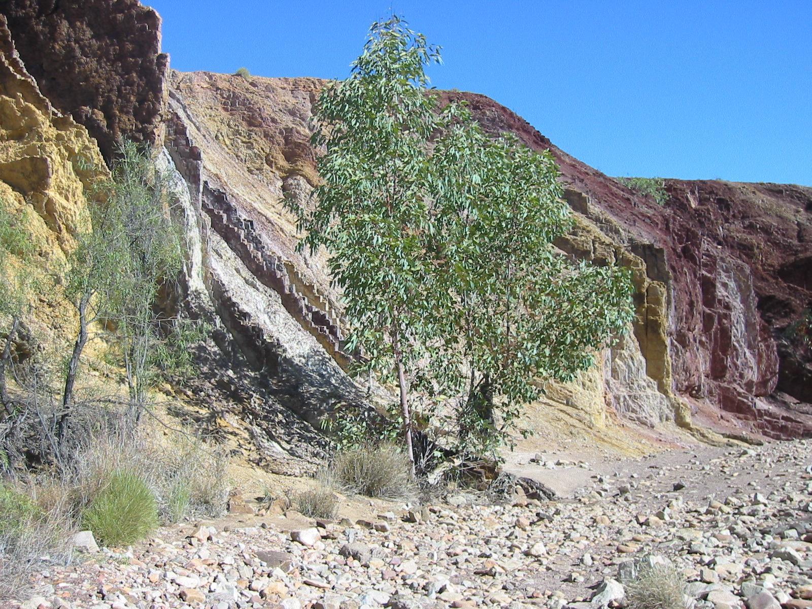
Section 8: Serpentine Gorge to the Ochre Pits
Day: 21km; Total: 162km
 We wake up to a warm (8°) and overcast morning. It looks like it
might rain, so we put the tarpaulin over our luggage on the roof before
driving back to Serpentine Gorge. We get going at 9am; it now feels
cold with no sun and plenty of wind.
We wake up to a warm (8°) and overcast morning. It looks like it
might rain, so we put the tarpaulin over our luggage on the roof before
driving back to Serpentine Gorge. We get going at 9am; it now feels
cold with no sun and plenty of wind.
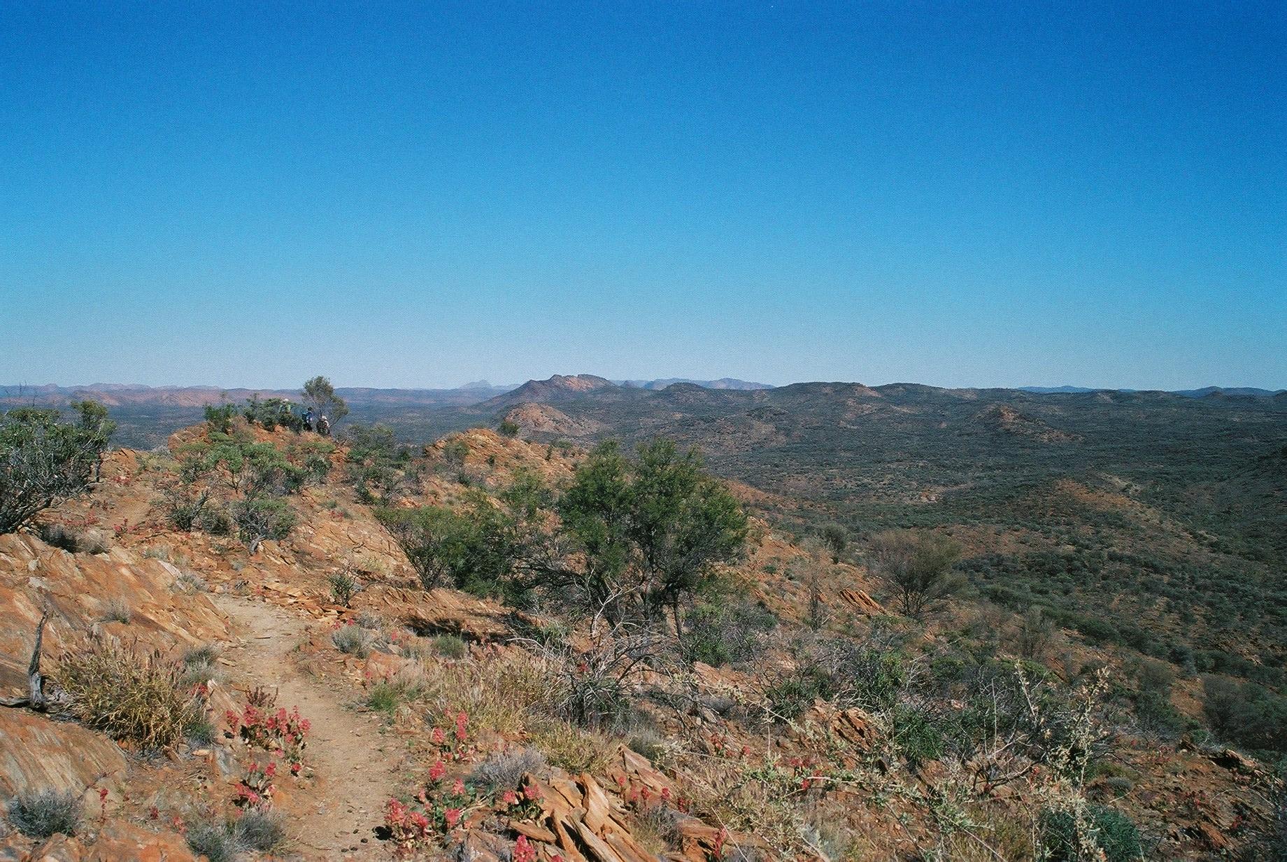
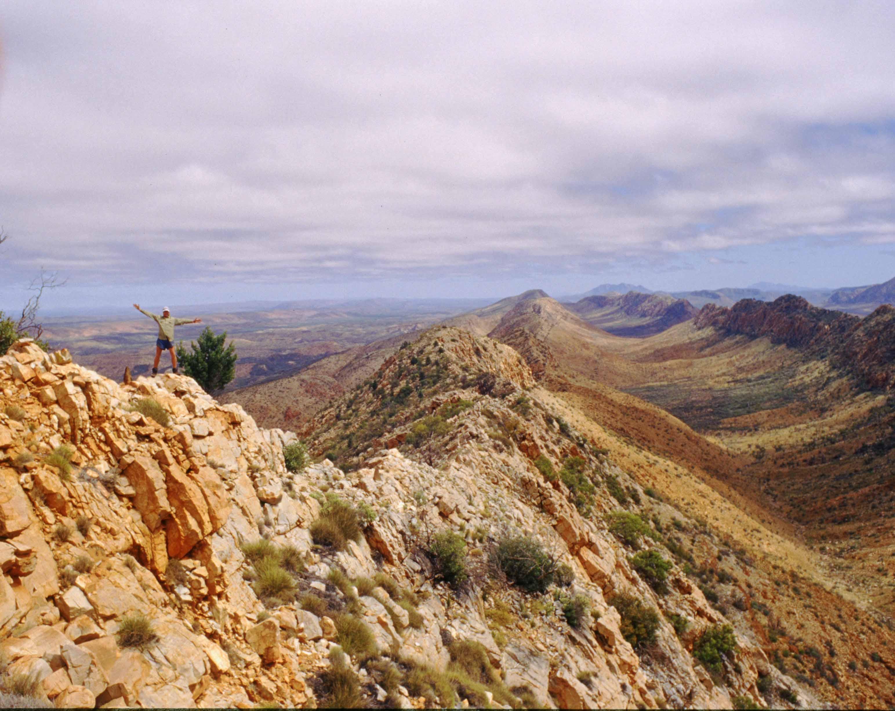
 There is a somewhat steep but nice and steady climb (~300m) up from the
gorge to the top of the ridge. From there the tack continues at an easy
slope along the top of the ridge to Counts Point.
There is a somewhat steep but nice and steady climb (~300m) up from the
gorge to the top of the ridge. From there the tack continues at an easy
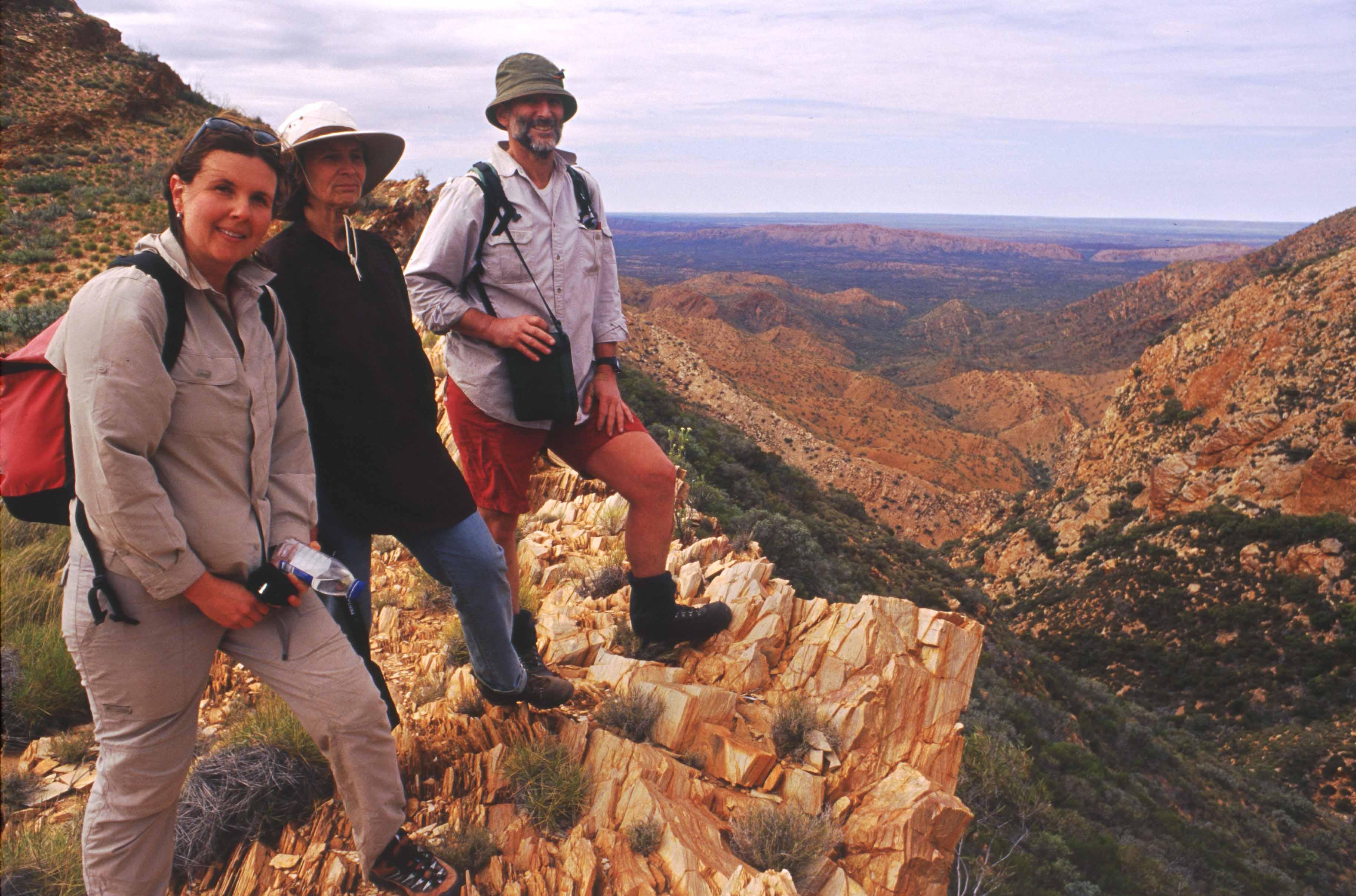
slope along the top of the ridge to Counts Point.
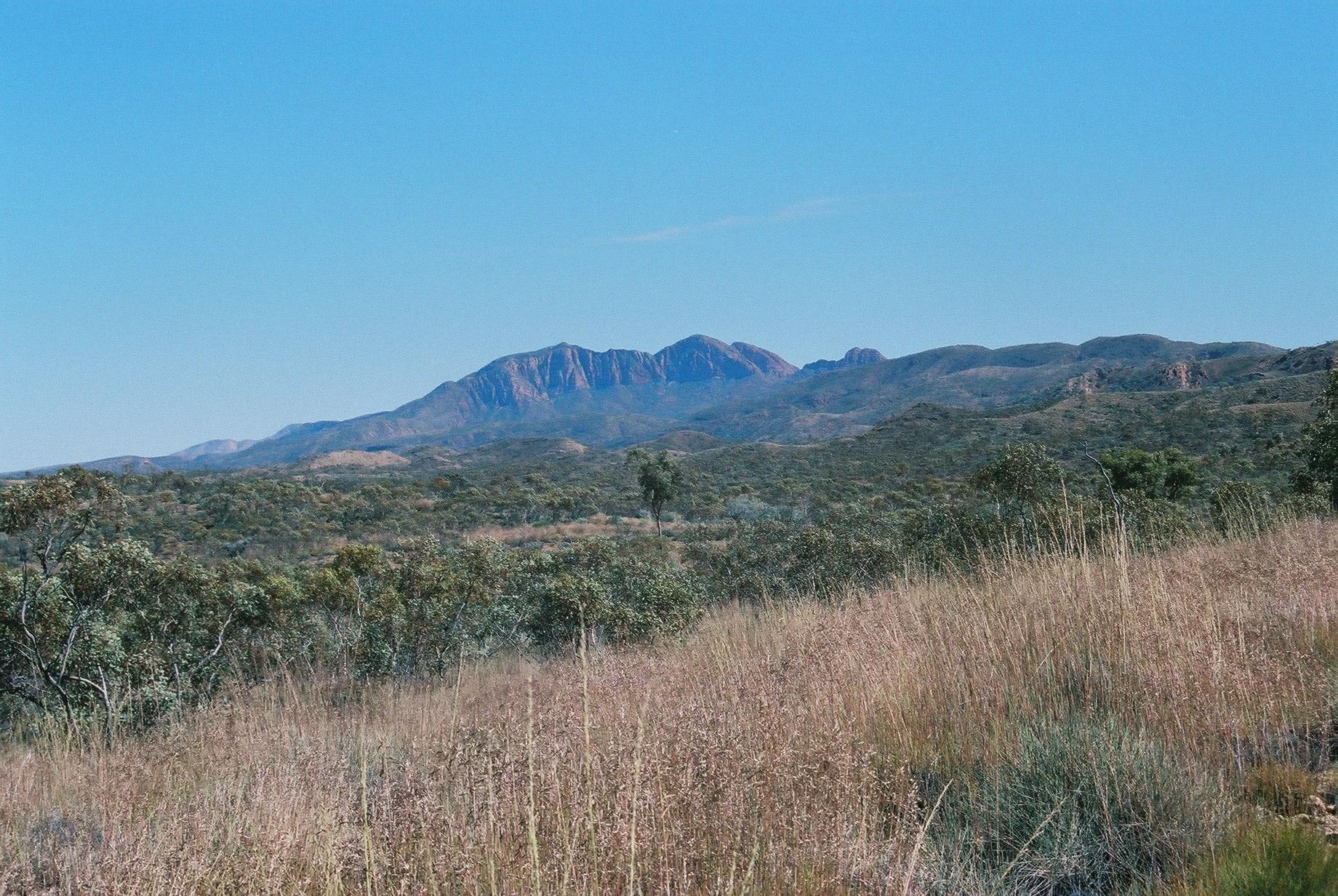
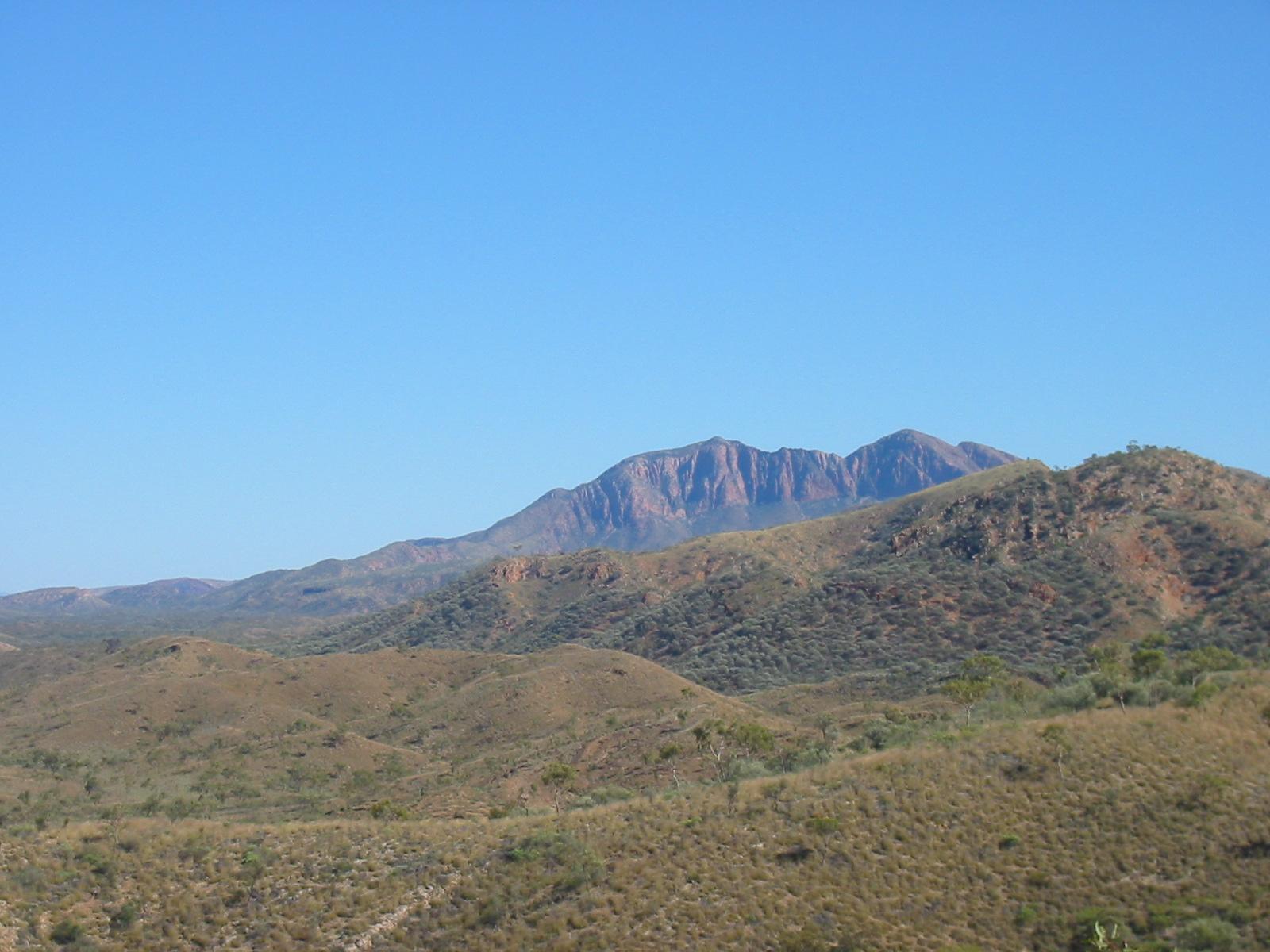
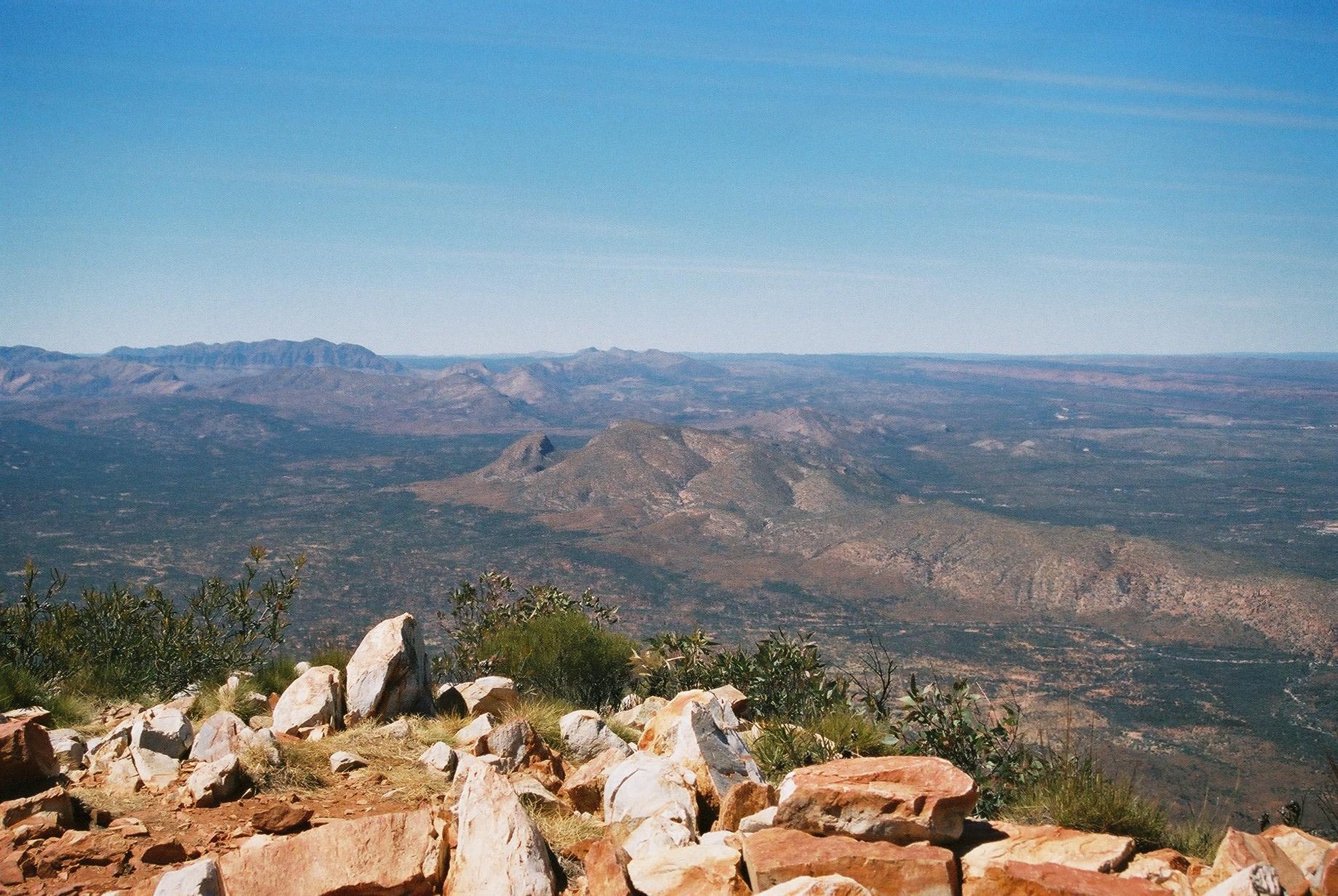
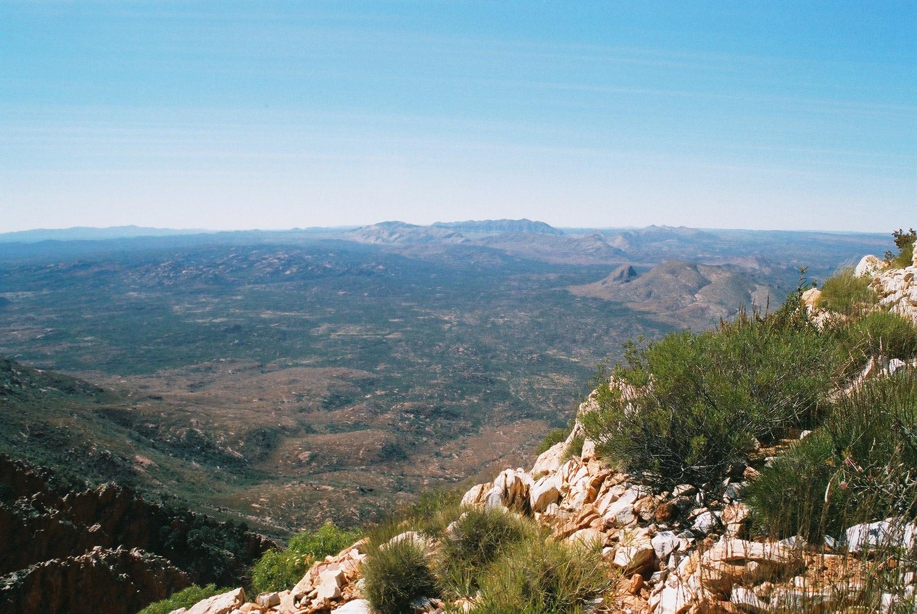
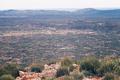
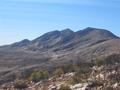
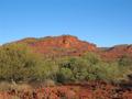
 Albert Namatjira created some famous paintings here, and the view is
indeed great, including Mt Sonder and Mt Ziel.
Albert Namatjira created some famous paintings here, and the view is
indeed great, including Mt Sonder and Mt Ziel.
 We return the 500m to the turnoff (where we had dumped our packs) and do
the steep descent to a saddle, where we have lunch.
We return the 500m to the turnoff (where we had dumped our packs) and do
the steep descent to a saddle, where we have lunch.
 By this time the sky has cleared up except for a few remaining clouds.
It remains windy, however. From the lunch spot there is more (but much
easier) downhill, until we reach the plain again. The remainder is easy
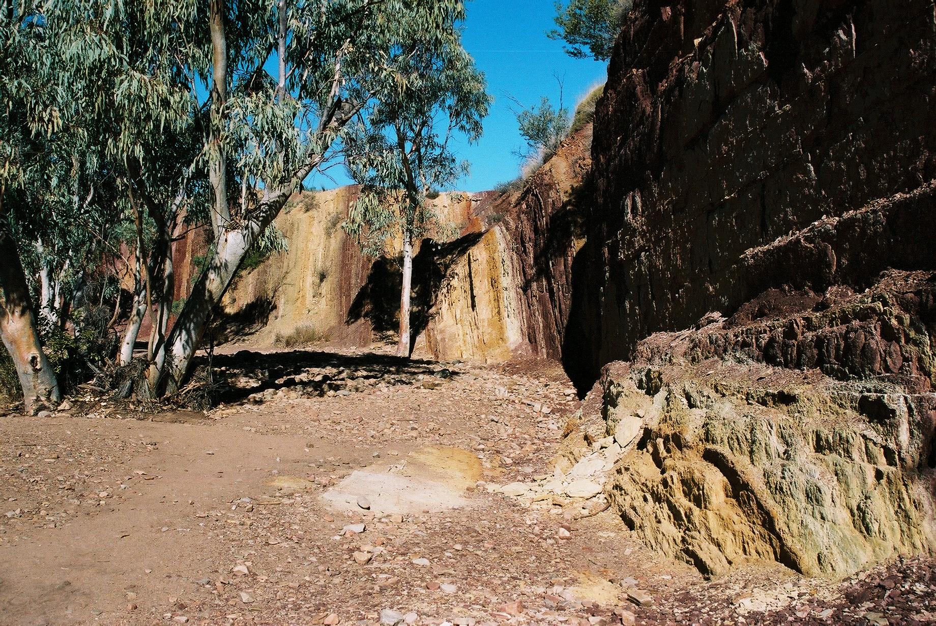
walking through slightly undulating country. The Ochre Pits must be
getting close: we see several places with brightly-coloured ochre.
By this time the sky has cleared up except for a few remaining clouds.
It remains windy, however. From the lunch spot there is more (but much
easier) downhill, until we reach the plain again. The remainder is easy
walking through slightly undulating country. The Ochre Pits must be
getting close: we see several places with brightly-coloured ochre.
 Serpentine Chalet Dam is a pretty spot that seems attractive for
camping. It has water and is (according to the map) also only a 1km
walk from the car park above Camp Bindi (no, we didn't think of taking the
shortcut, we would have missed the great view of Counts Point!) A couple
kilometres on is Inarlanga Pass, the turnoff to Section 9 (which we are
going to skip).
Serpentine Chalet Dam is a pretty spot that seems attractive for
camping. It has water and is (according to the map) also only a 1km
walk from the car park above Camp Bindi (no, we didn't think of taking the
shortcut, we would have missed the great view of Counts Point!) A couple
kilometres on is Inarlanga Pass, the turnoff to Section 9 (which we are
going to skip).


 The last 4km are easy walking, mostly downhill, but they stretch on. And
while it is a cool day (19°) we feel quite warm and are happy to
reach the end, where we are met by the car party at the truly impressive
Ochre Pits. It's been a long day after all, we arrive at around 4pm.
The last 4km are easy walking, mostly downhill, but they stretch on. And
while it is a cool day (19°) we feel quite warm and are happy to
reach the end, where we are met by the car party at the truly impressive
Ochre Pits. It's been a long day after all, we arrive at around 4pm.
We have long before decided to chicken out and skip Section 9, which is
far longer than any of the previous sections (30km) and contains a lot
of up- and downhill. It also isn't easy to do overnight, as there is,
apparently, no water anywhere along that section.
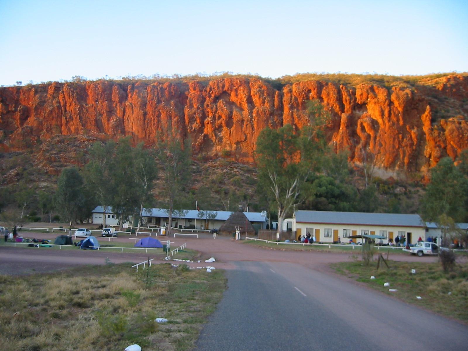
So, we pack up and drive towards Ormiston Gorge, the end of Section
9. But since this is really close to Glen Helen Pub, we might as well go
there for a drink, right? There we are faced with the tough choice
between a basic camp at Ormiston Gorge with many others (it's a
popular spot and it's the week-end) or stay where we are, put up the
tents outside the pub, have a few more cold beers and a shower. To everybody's
surprise we decide to tough it out at the pub...
Day 10, Sunday 12 September 2004
Ormiston Gorge Circuit Walk
Day: 8km; Total: 170km
We wake up to a cloudless but windy morning, feels colder than it
is. The wimps (Marie, Trudy and Gernot) have a massive cooked breakfast
at the pub. Fortunately they have no real coffee, the decadence would
have been hard to bear.
 We drive to Ormiston Gorge and do the Pound Walk, which goes over a
rather low range, through the “pound”, a large area almost completely
enclosed by mountains and therefore ideal to keep stock, and back
through the gorge.
We drive to Ormiston Gorge and do the Pound Walk, which goes over a
rather low range, through the “pound”, a large area almost completely
enclosed by mountains and therefore ideal to keep stock, and back
through the gorge.
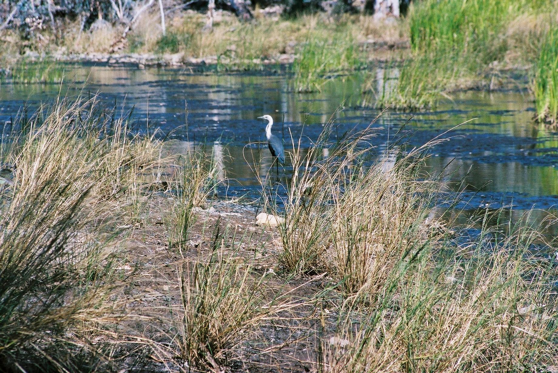
 We see lots of birds and a wallaby at the gorge. This is the coolest day
of the trip (max 18°) in spite of the cloudless sky.
We see lots of birds and a wallaby at the gorge. This is the coolest day
of the trip (max 18°) in spite of the cloudless sky.
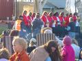
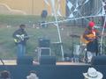
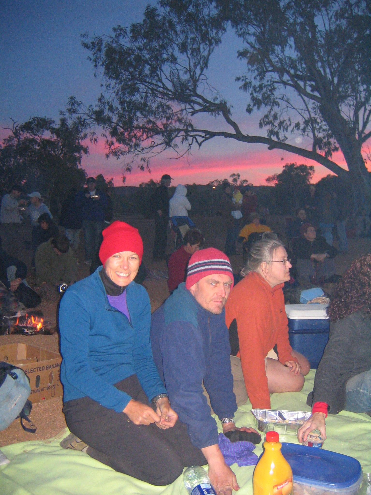
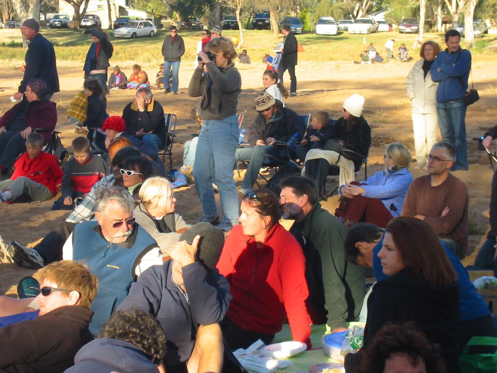
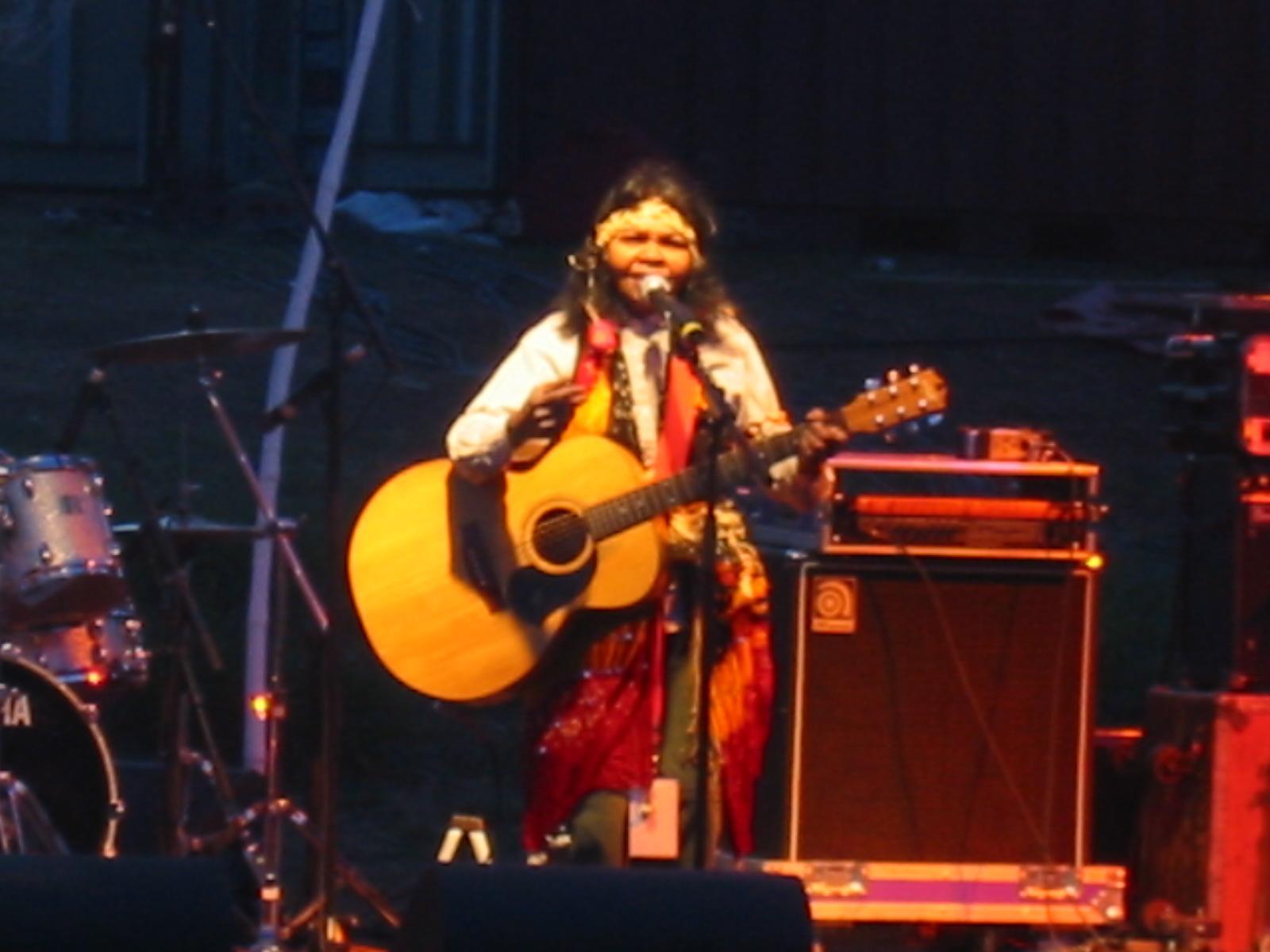
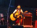
 In the evening we all drive back to Alice. As part of the Desert
Festival they have an Aboriginal concert. It starts off with the
Hermannsburg Women's Choir singing Christian hymns in their native
language. This is followed by one of the better known Aboriginal bands,
Archie Roach and his wife Ruby Hunter. The music is ok-ish, but the atmosphere
of the crowd sitting around fires in the Todd River is charming. It's
like a big family reunion.
In the evening we all drive back to Alice. As part of the Desert
Festival they have an Aboriginal concert. It starts off with the
Hermannsburg Women's Choir singing Christian hymns in their native
language. This is followed by one of the better known Aboriginal bands,
Archie Roach and his wife Ruby Hunter. The music is ok-ish, but the atmosphere
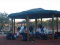
of the crowd sitting around fires in the Todd River is charming. It's
like a big family reunion.
Day 11, Monday 13 September 2004
Section 10: Ormiston Gorge to Glen Helen
Day: 13.5km; Total: 183.5km
From our camp at Glen Helen we drive back to Ormiston gorge to hit the
Larapinta Trail again, starting off at about 8:50. All are walking but
Penny, who drives the car back to Glen Helen. It's still quite windy and
cool but virtually cloudless.
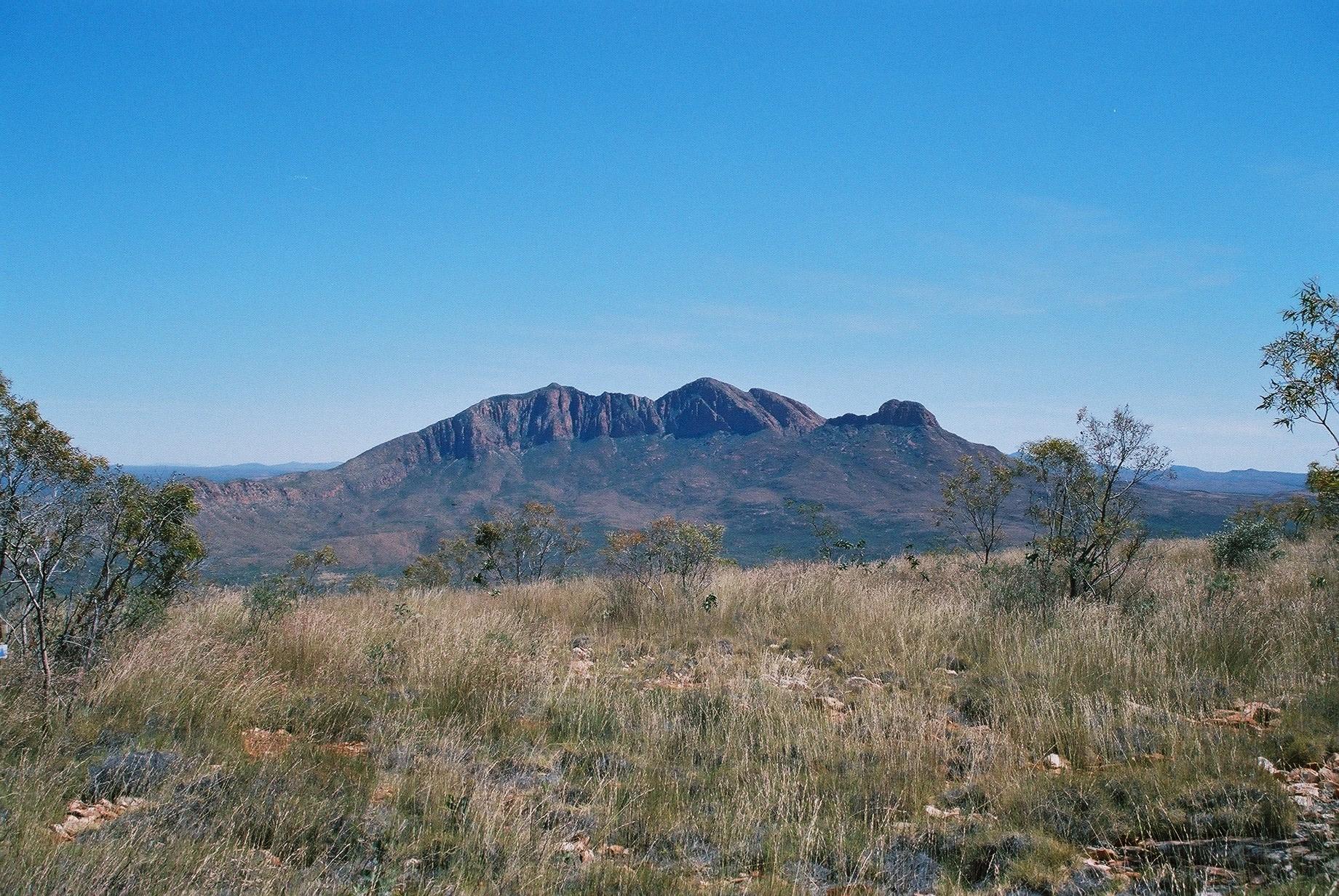
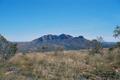
 This is a beautiful and easy walk. From Hilltop, which we reach after
about an hour, we have another grand view of the ranges and Mt
Sonder. Around there we meet two walkers, who are doing the track
unsupported in W-E direction. This is only the second time that we meet
others on the track.
This is a beautiful and easy walk. From Hilltop, which we reach after
about an hour, we have another grand view of the ranges and Mt
Sonder. Around there we meet two walkers, who are doing the track
unsupported in W-E direction. This is only the second time that we meet
others on the track.
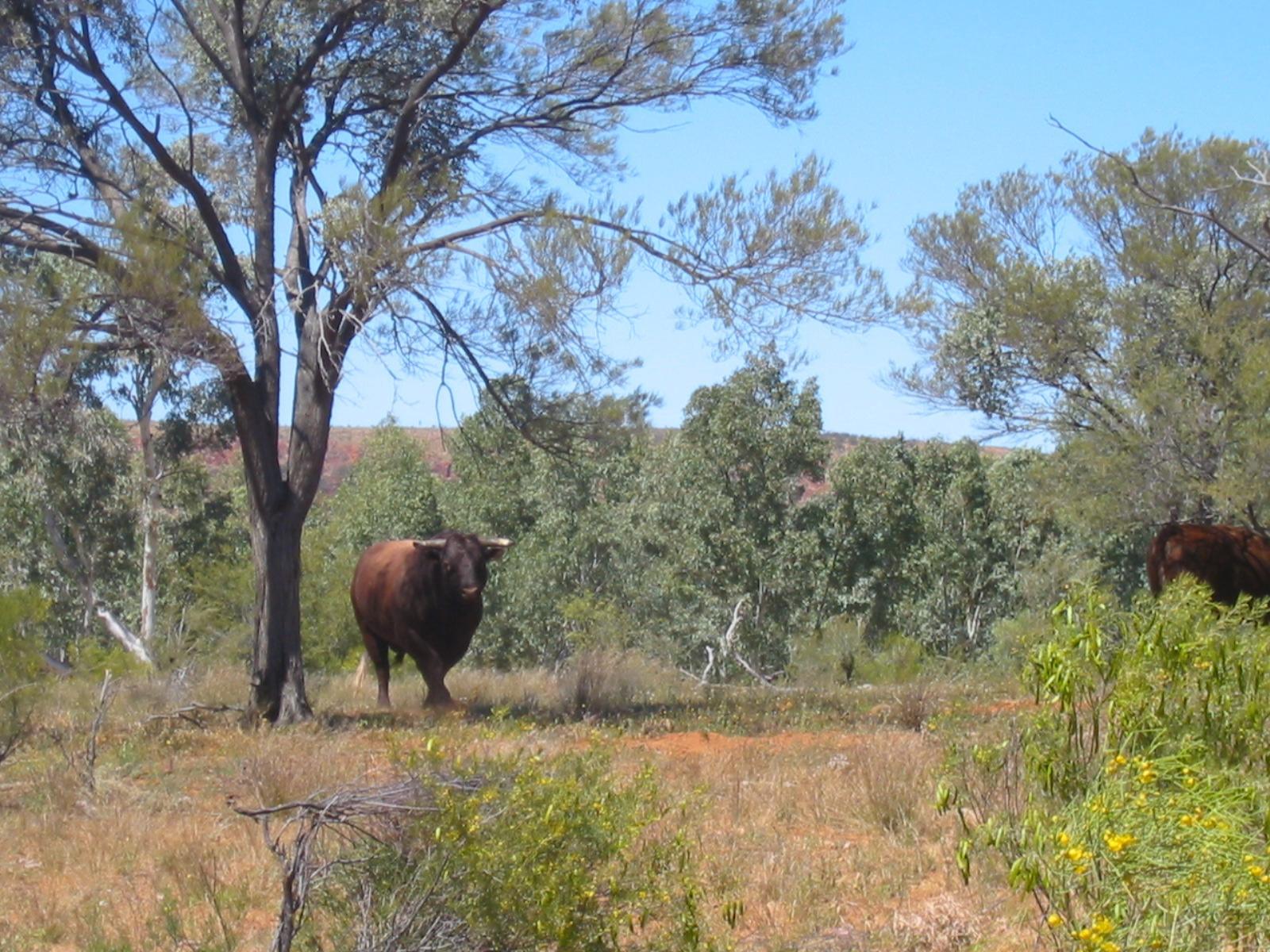
 Later we walk along a beautiful creek bed with many waterholes and
birds. Among others we see a flock of pelicans (around 20), and an
eagle. Ron picks up a big lizard tail, which is later going to get him
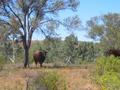
into trouble with Marie. On the last few kilometres we see a total of four wild
bulls, one of them doesn't seem to like us much, so we give him a wide
berth.
Later we walk along a beautiful creek bed with many waterholes and
birds. Among others we see a flock of pelicans (around 20), and an
eagle. Ron picks up a big lizard tail, which is later going to get him
into trouble with Marie. On the last few kilometres we see a total of four wild
bulls, one of them doesn't seem to like us much, so we give him a wide
berth.
 The junction with Section 11 is at the place where the Ormiston
Creek joins the Davenport Creek to form the Finke River. It's a wide
river bed, which further down has several big (but shallow)
waterholes. At the east bank of one of them (which is outside the
national park) there are a few car campers at one of the water
holes. The track stays to the west of the river, inside the park. It
actually goes through a natural tunnel in the rocks.
The junction with Section 11 is at the place where the Ormiston
Creek joins the Davenport Creek to form the Finke River. It's a wide
river bed, which further down has several big (but shallow)
waterholes. At the east bank of one of them (which is outside the
national park) there are a few car campers at one of the water
holes. The track stays to the west of the river, inside the park. It
actually goes through a natural tunnel in the rocks.
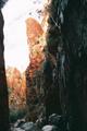
 We reach Glen Helen just after lunch, a perfect time for another cold
beer. In the afternoon we inspect Glen Helen gorge, which is just a couple
hundred metres from the pub. We cannot get very far, as there is lots of
water cutting off the path through the gap. Steve and Ron climb up the
rocks and Ron erects a monument on the top.
We reach Glen Helen just after lunch, a perfect time for another cold
beer. In the afternoon we inspect Glen Helen gorge, which is just a couple
hundred metres from the pub. We cannot get very far, as there is lots of
water cutting off the path through the gap. Steve and Ron climb up the
rocks and Ron erects a monument on the top.
Day 12, Tuesday 14 September 2004
Section 11: Glen Helen to Redbank Gorge
Day: 29km; Total: 212.5km
 On a cold morning (overnight temperature was just above freezing) and
against a backdrop of the most spectacular view, we pack up our camp in
front of the Glen Helen Pub, where we have spent the last three nights.
On a cold morning (overnight temperature was just above freezing) and
against a backdrop of the most spectacular view, we pack up our camp in
front of the Glen Helen Pub, where we have spent the last three nights.
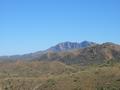
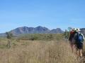 This will be our longest day's walk, and has a significant climb too. The
group walking enthusiastically towards Mt Sonder has shrunk to five
(Steve, Jan, Karen, Trudy and Gernot).
This will be our longest day's walk, and has a significant climb too. The
group walking enthusiastically towards Mt Sonder has shrunk to five
(Steve, Jan, Karen, Trudy and Gernot).
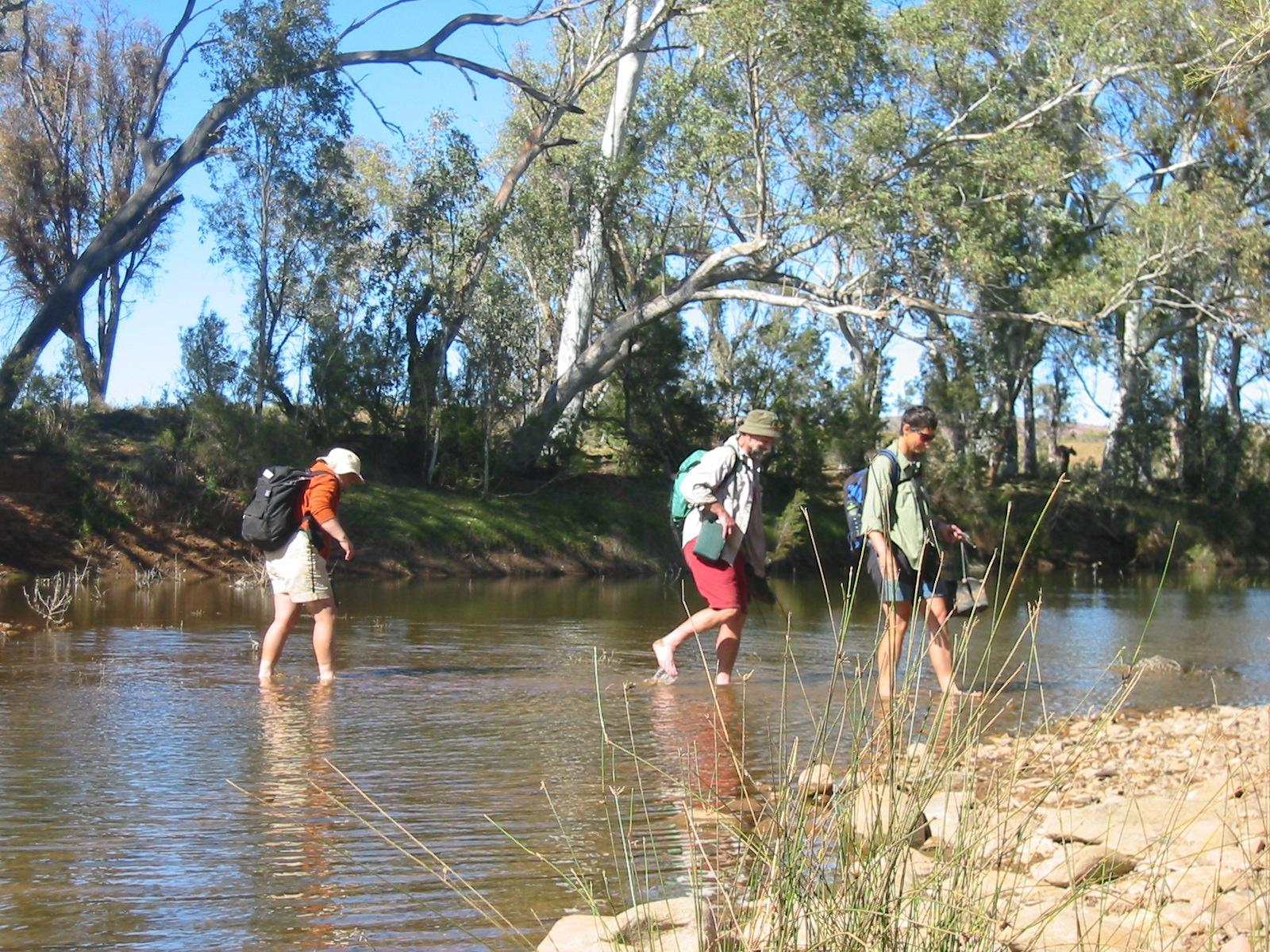
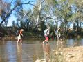 We backtrack along the Finke to the junction of the Davenport and
Ormiston Creeks and initially stay to the left of the Davenport. About
2km later we cross the Davenport, which at this place is actually full
of water, so we take our boots
off to ford it. Jan finds a way around, but the others reckon
it's more fun this way.
We backtrack along the Finke to the junction of the Davenport and
Ormiston Creeks and initially stay to the left of the Davenport. About
2km later we cross the Davenport, which at this place is actually full
of water, so we take our boots
off to ford it. Jan finds a way around, but the others reckon
it's more fun this way.
 It's easy walking otherwise, until two hours into the walk when we hit
the hill. The climb, while reasonably steep, is actually good walking
too. At the top we are rewarded with an excellent view back to Glen
Helen, which we enjoy over lunch.
It's easy walking otherwise, until two hours into the walk when we hit
the hill. The climb, while reasonably steep, is actually good walking
too. At the top we are rewarded with an excellent view back to Glen
Helen, which we enjoy over lunch.
 On the way down, only a few hundred metres from the top, we pass the 200km
mark! (Gernot looks again a bit silly in these pictures for no obvious
reason...)
On the way down, only a few hundred metres from the top, we pass the 200km
mark! (Gernot looks again a bit silly in these pictures for no obvious
reason...)
Back in the plain the walk continues over easy territory. At Rocky Bar
Gap, which is a nice camping area just over half-way, there are tanks
with very little water left. From there on we are walking along the foot
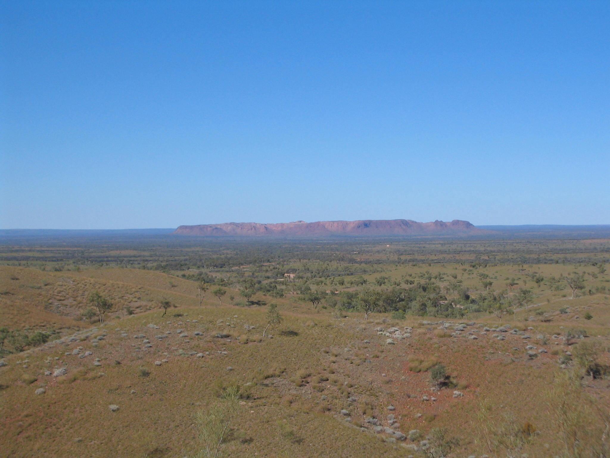
of Mt Sonder, Redbank Gorge is almost to its far end (viewed from Glen
Helen).
The walking is easy, but seems to stretch endlessly, not helped by a
relatively monotonous landscape. It's getting warm (although the maximum
of the day is below 23°). For the last hour everybody seems to walk
in auto-pilot with mind disengaged. We finally arrive at the car park feeling
totally buggered.
The others are waiting there and drive us to Woodland Camping Area. This
is an unspectacular spot, with one of the highest concentration of flies
we had on the whole walk. There are a few other parties camping there,
but they are out of sight and mostly out of earshot. (Except for two
bored youths who think it fun throwing stones on a metal road sign,
until Steve tells them off.)
Day 13, Wednesday 15 September 2004
Section 12: Redbank Gorge to Mt Sonder and back
Day: 19km; Total: 231.5km
For the final section of the Larapinta Trail we drive the 2km back to
the car park where we finished the previous day. Karen decides that
she's deserved a day's peaceful reading after the previous day, so she
stays back with Penny.
 We first backtrack about 0.5km to the junction of Section 12. From there
it is a steep but otherwise easy 2km to the Saddle. Gernot's right foot
(which always hurts the day after a strenuous walk, but usually is ok after a few
minutes) hurts a lot for quite a while. Only after about half an hour
does it feel halfway normal. Fortunately, this is the last bit, so any
problem won't spoil the main event.
We first backtrack about 0.5km to the junction of Section 12. From there
it is a steep but otherwise easy 2km to the Saddle. Gernot's right foot
(which always hurts the day after a strenuous walk, but usually is ok after a few
minutes) hurts a lot for quite a while. Only after about half an hour
does it feel halfway normal. Fortunately, this is the last bit, so any
problem won't spoil the main event.
Soon after the Saddle the well-prepared track ends and from then on there
is only a faint track created by walkers following the sporadic sign
posts. However, it is mostly less steep and reasonably easy walking. On
the way up we meet a Melbourne-based Pom, who is just starting the walk
in the opposite direction, on his own and with only two food drops!
He's got plenty of experience, so we trust he knows what he's doing, but
none of us would do this walk on their own.
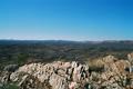
 We reach the top after about 2.5h, where we are rewarded with arguably
the best views we've seen in Australia!
We reach the top after about 2.5h, where we are rewarded with arguably
the best views we've seen in Australia!
 This is the end of the Larapinta track (although it's hard to do it
without backtracking this day's walk ;-)
This is the end of the Larapinta track (although it's hard to do it
without backtracking this day's walk ;-)
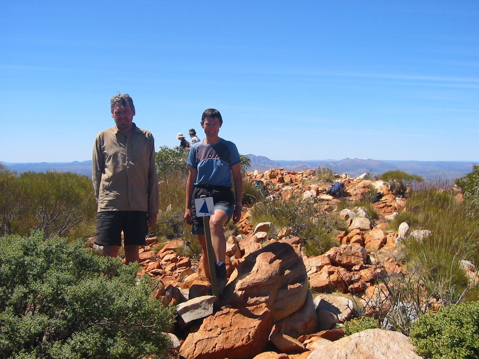
 Just a stone throw away is the sign giving the total distance from the
start in Alice, 223km (this does not count several access tracks we had
to walk, but, of course, it does count Section 9, which we omitted).
Just a stone throw away is the sign giving the total distance from the
start in Alice, 223km (this does not count several access tracks we had
to walk, but, of course, it does count Section 9, which we omitted).
The way down is uneventful, it takes us about 90 minutes (and Gernot's
foot behaves, thanks to the walking sticks). We get down well over an
hour ahead of the agreed pick-up time, so Gernot, Trudy, Steve and Anne
walk on about 1.5km to Redbank Gorge.
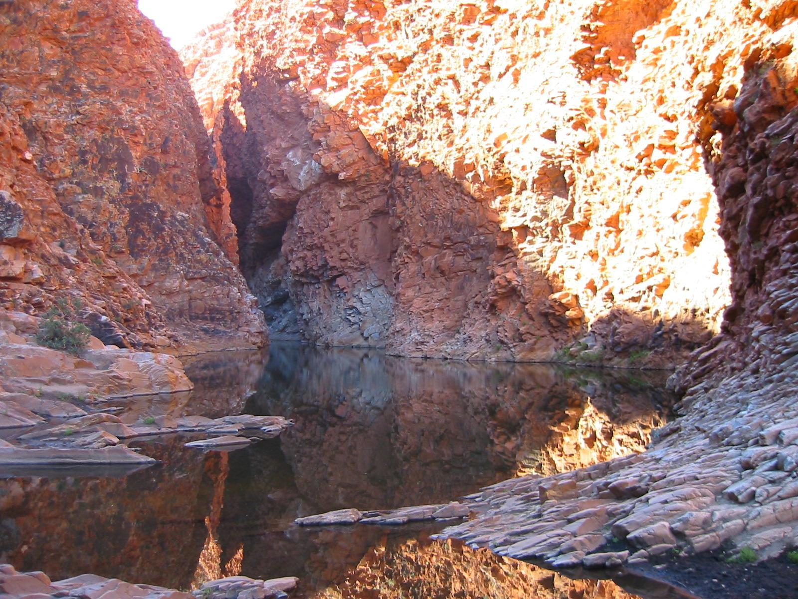
 Most of this is a sandy river bed,
with a bit of scrambling over rocks at the end. We get rewarded with
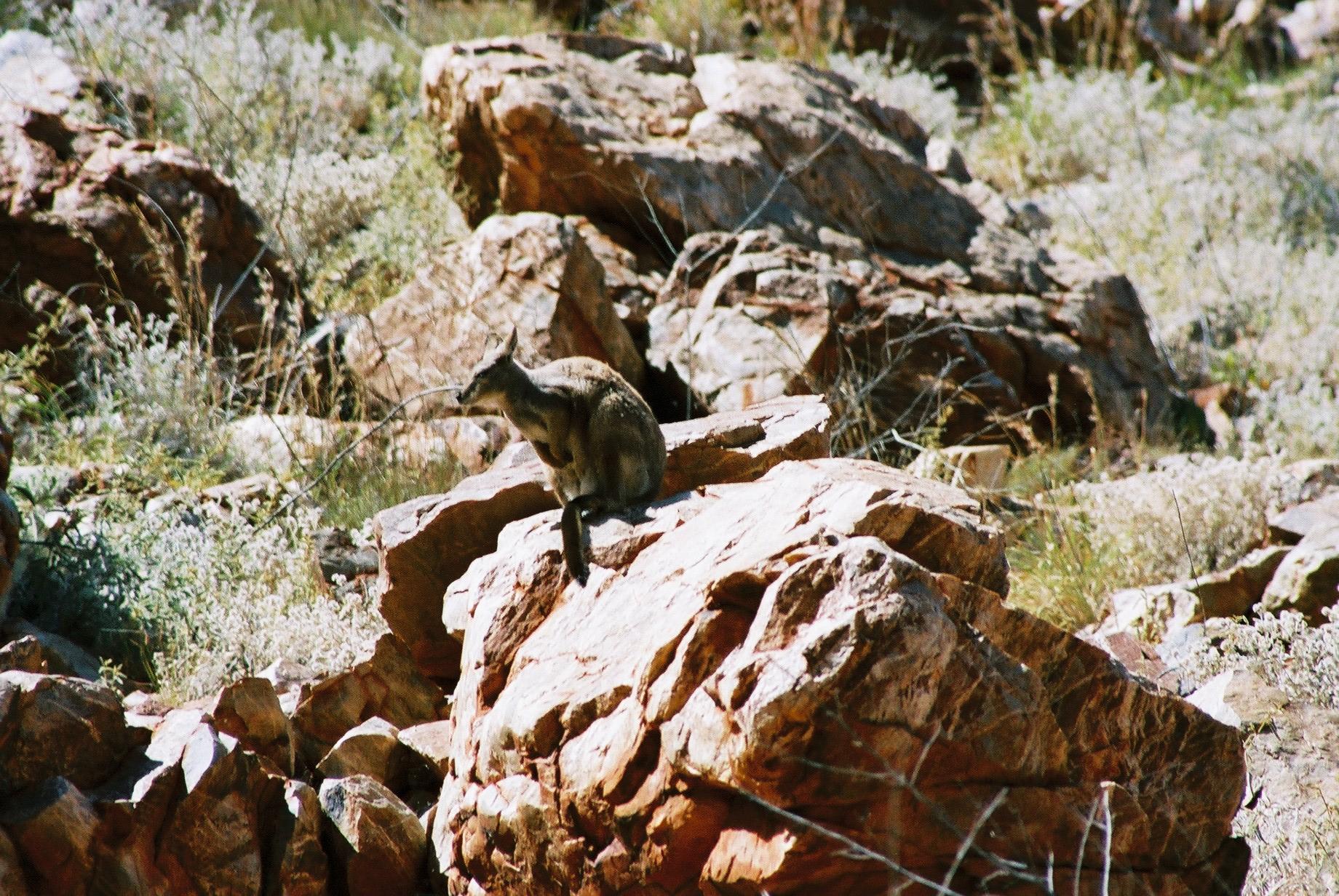
spotting a rock wallaby and then reaching a beautiful water hole
(including the mandatory duck). The swim in the cold water is the
perfect conclusion to a warm day (25°).
Most of this is a sandy river bed,
with a bit of scrambling over rocks at the end. We get rewarded with
spotting a rock wallaby and then reaching a beautiful water hole
(including the mandatory duck). The swim in the cold water is the
perfect conclusion to a warm day (25°).
When we get back to the car park we have really reached the end of the
Larapinta. And what a great experience it has been!
Day 14, Thursday 16 September 2004
Tylers Pass and Gosse Bluff
Day: 2.5km; Total: 234km

 Next morning we pack up for our last move of camp. We drive further east
along Larapinta Drive to Tylers Pass, yet another place with a great
view.
Next morning we pack up for our last move of camp. We drive further east
along Larapinta Drive to Tylers Pass, yet another place with a great
view.
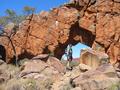
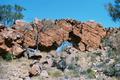
 From there we continue to Gosse Bluff, a remnant of a meteorite crater
that once was about 20km in diameter. It is a sacred site to
local Aborigines, which is hardly surprising, given the unique character
of the formation. We do a small circuit walk and have lunch, before
continuing to Hermannsburg. This is one of the best-known missions in
Central Australia, founded in the 1860s by German Lutherans.
From there we continue to Gosse Bluff, a remnant of a meteorite crater
that once was about 20km in diameter. It is a sacred site to
local Aborigines, which is hardly surprising, given the unique character
of the formation. We do a small circuit walk and have lunch, before
continuing to Hermannsburg. This is one of the best-known missions in
Central Australia, founded in the 1860s by German Lutherans.
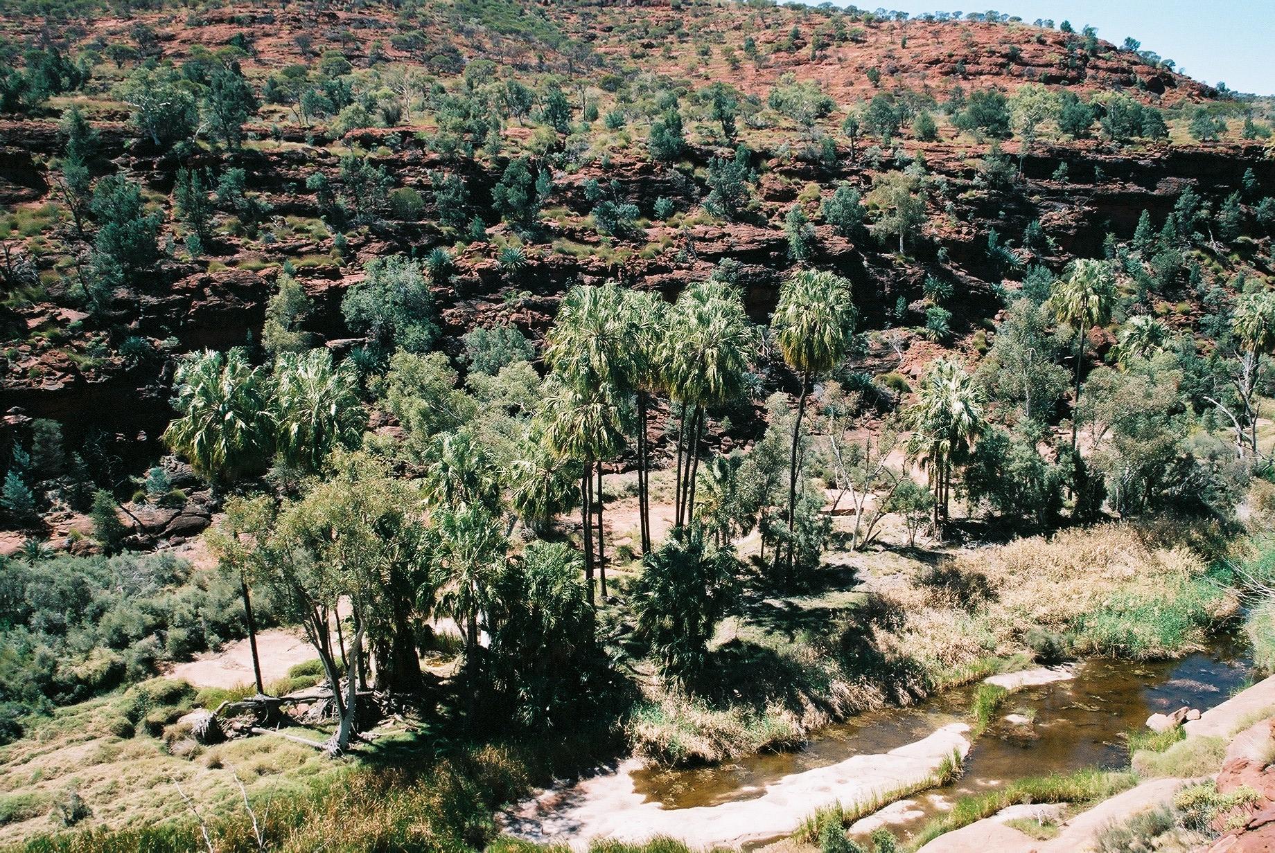
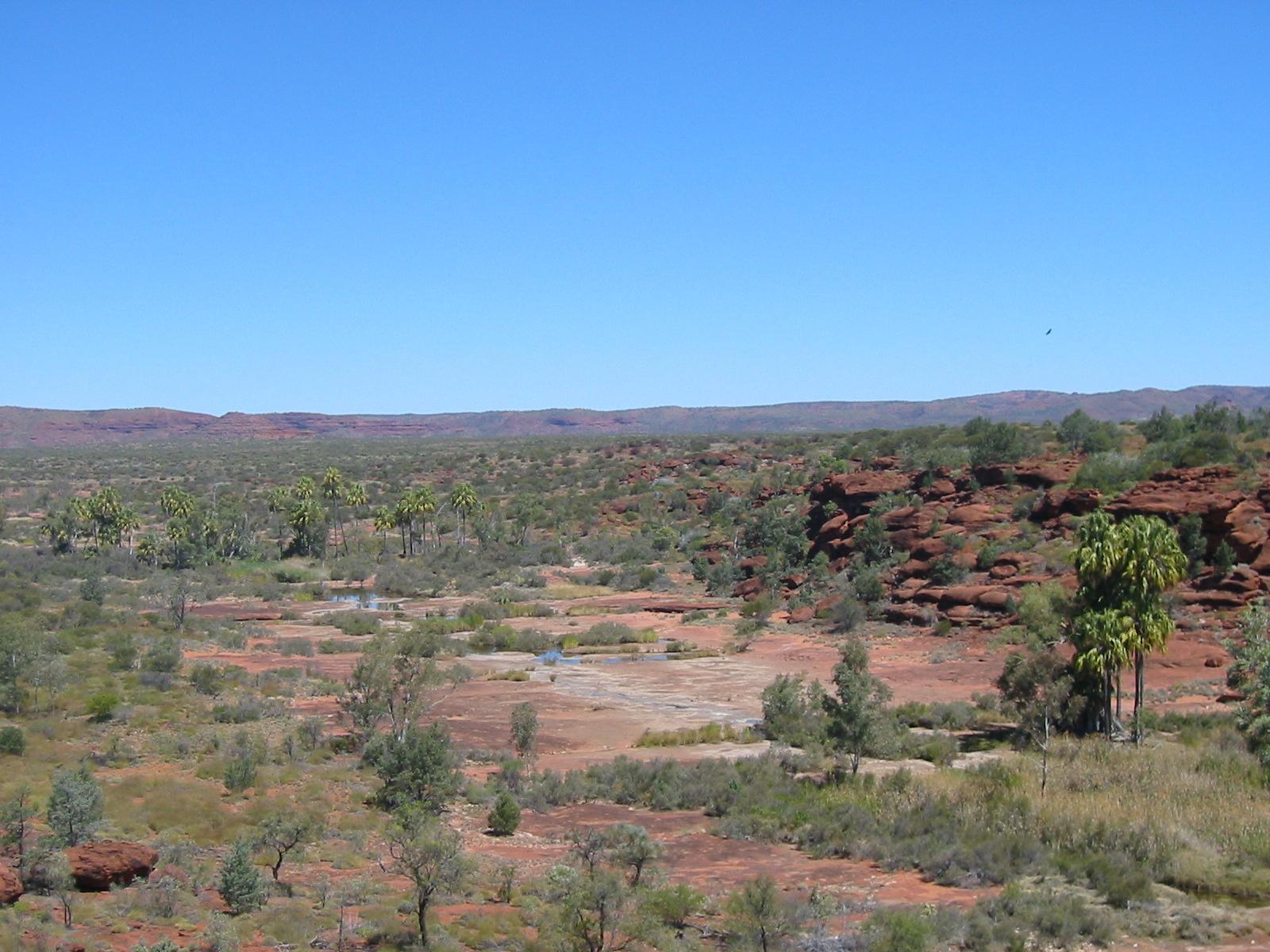
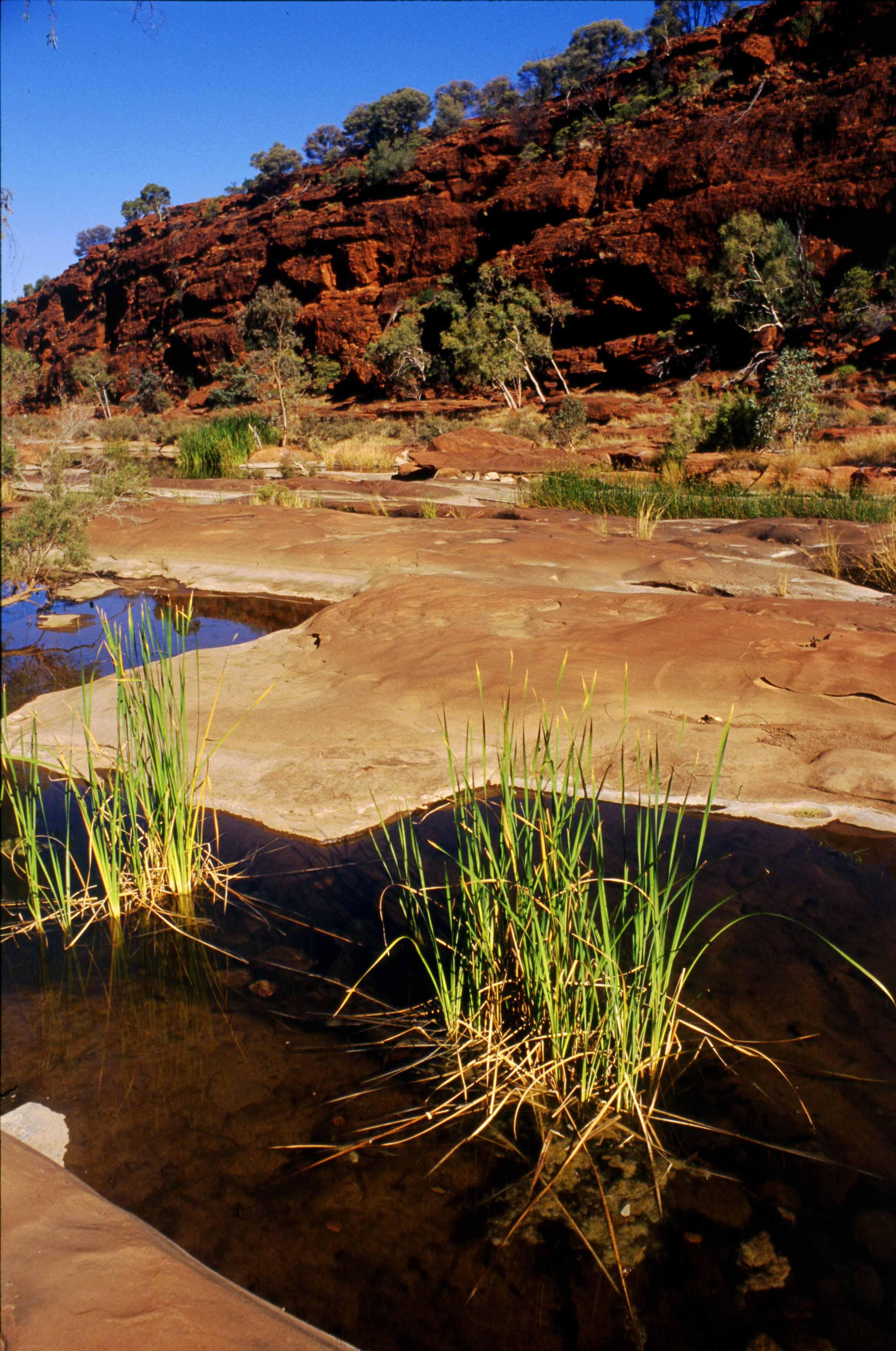
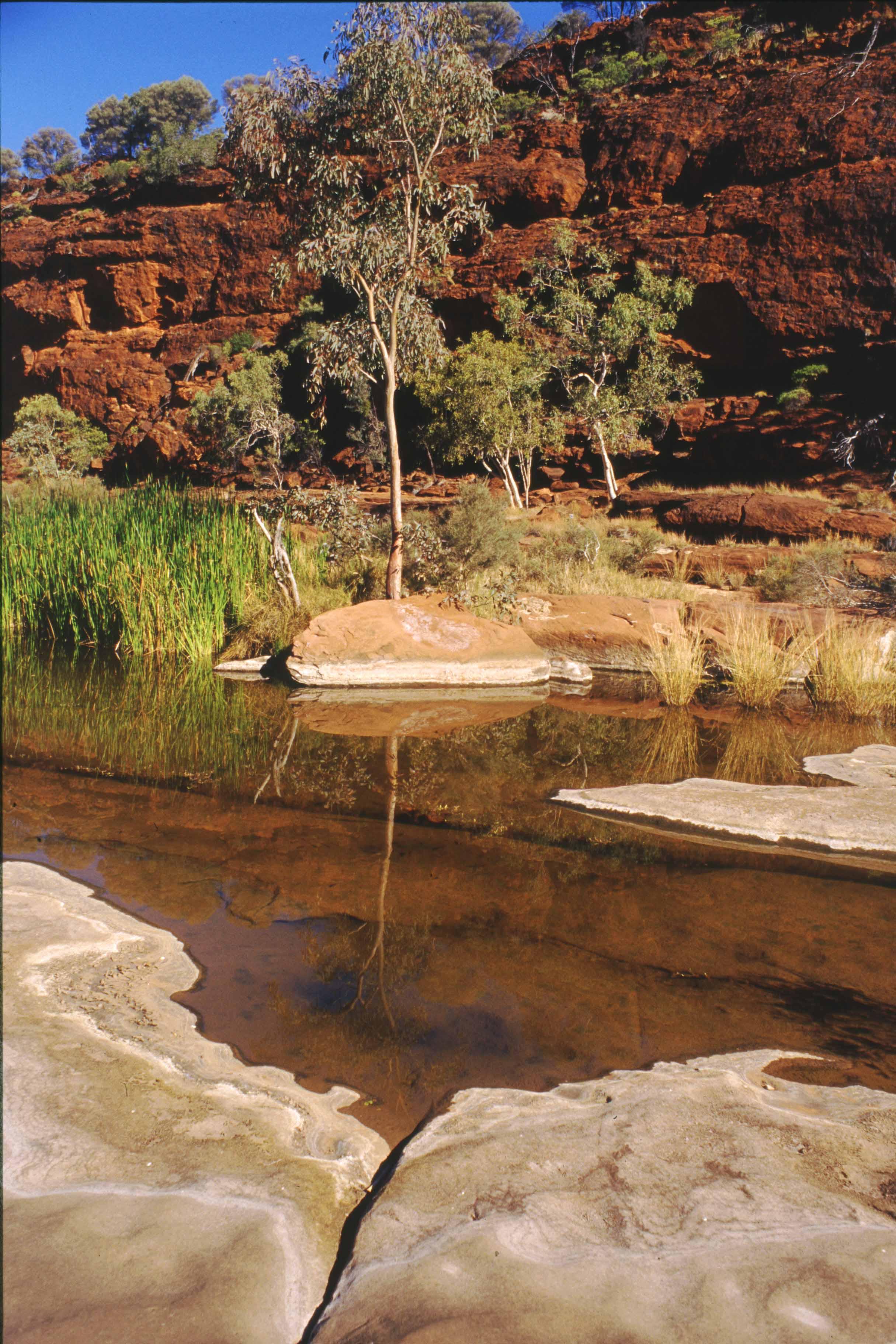
 We then continue to Palm Valley National Park, which we reach over a
dirt road that is seriously 4W-only.
We then continue to Palm Valley National Park, which we reach over a
dirt road that is seriously 4W-only.
 The main camp ground is beautiful,
grassy patches between trees next to a large (but shallow) waterhole in
the Finke River (the one whose birthplace we traversed a few days
earlier). And it has warm showers (thanks to a big rainwater tank and
solar heating)!
The main camp ground is beautiful,
grassy patches between trees next to a large (but shallow) waterhole in
the Finke River (the one whose birthplace we traversed a few days
earlier). And it has warm showers (thanks to a big rainwater tank and
solar heating)!
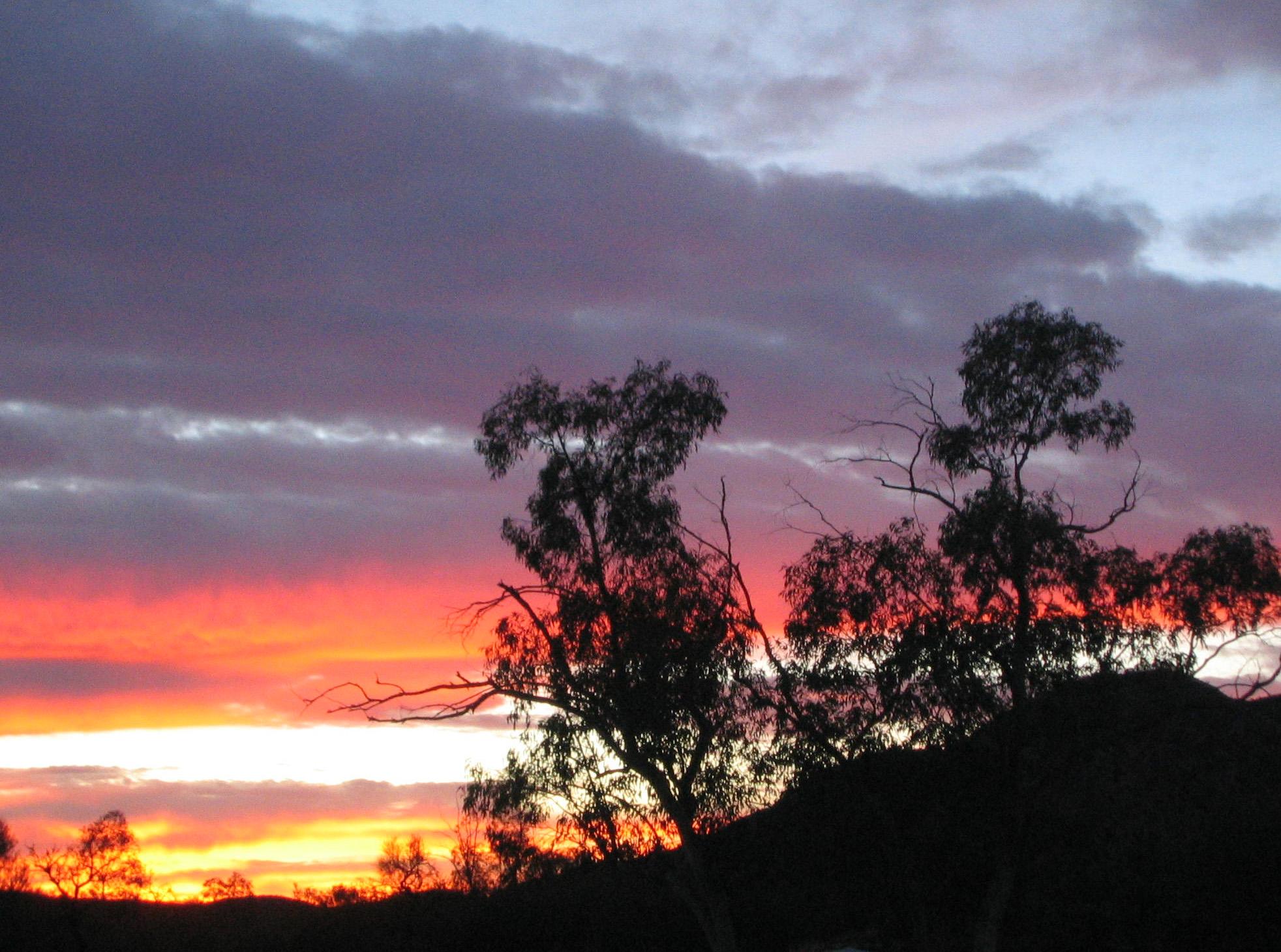
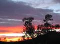
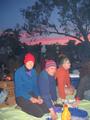
 And to top it all off, we are treated at our campsite to a magnificent sunset with the
most remarkable backdrop!
And to top it all off, we are treated at our campsite to a magnificent sunset with the
most remarkable backdrop!
Day 15, Friday 17 September 2004
Palm Valley Circuit Walks
Day: 14km; Total: 248km
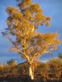
 Next morning Trudy and Gernot get up early to climb the cliffs on the
other side of the river and observe the sun rise over the valley,
painting everything in beautiful colours and making the camp ground look
even more picturesque.
Next morning Trudy and Gernot get up early to climb the cliffs on the
other side of the river and observe the sun rise over the valley,
painting everything in beautiful colours and making the camp ground look
even more picturesque.
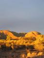
 We start our exploration of the Valley mid morning when we head off for
the first of a couple of circuit walks: it takes us up a valley with
interesting rock formations and vegetation and across some nice
views. The walk isn't very long (maybe 5–6km) so we can take it
leisurely.
We start our exploration of the Valley mid morning when we head off for
the first of a couple of circuit walks: it takes us up a valley with
interesting rock formations and vegetation and across some nice
views. The walk isn't very long (maybe 5–6km) so we can take it
leisurely.

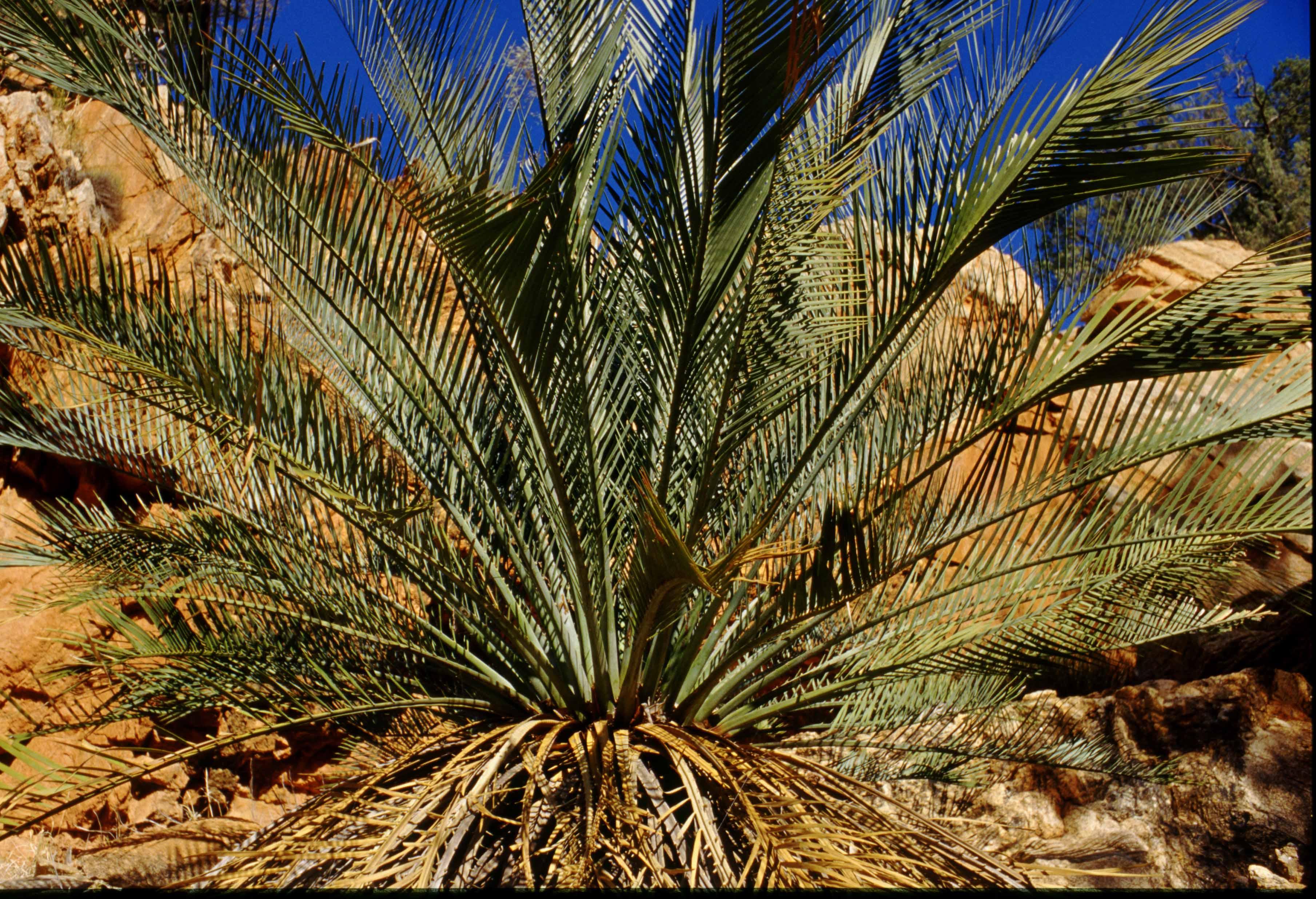
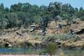
After lunch we drive about 4km of very 4WD rough road to
the beginning of the track into Palm Valley proper.
 There is another
circuit walk of about 5–6km, which first goes along the top of the ridge
overlooking the valley, and then back along the river, through crops of
magnificent palms unique to this area.
There is another
circuit walk of about 5–6km, which first goes along the top of the ridge
overlooking the valley, and then back along the river, through crops of
magnificent palms unique to this area.
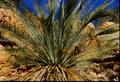
 And here, Ron captures the magic for us all to take home!
At the end of the circuit walk Trudy and Gernot, who walked ahead of the
rest, decide that
sitting around waiting for half an hour just to ride back in the back of a car
swaying forth and back across the rocks isn't really all that exciting.
So they walk back to camp, where they arrive about 15 mins before the
car. However, it is an exhausting walk, as the day is rather hot (about
30°, far hotter than any of the days on the Larapinta).
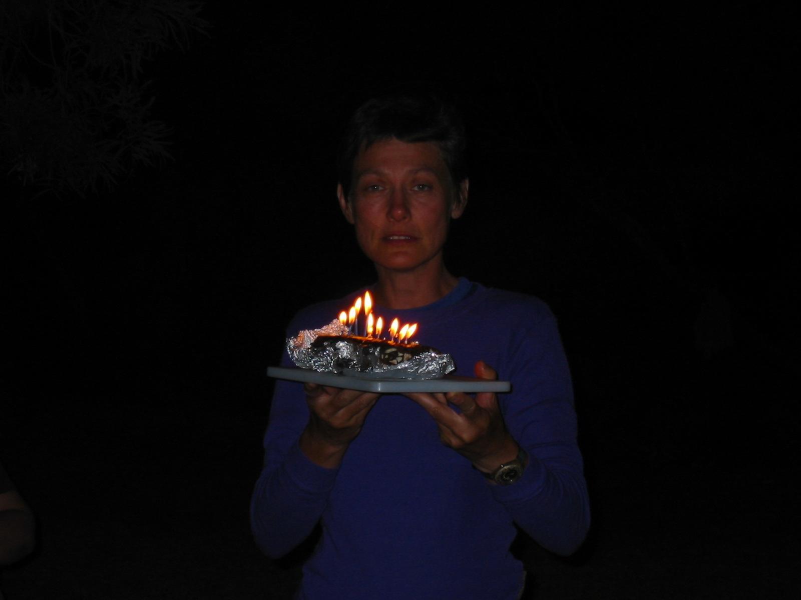
 At night we have a bottle of Campari and a cake (organised by Penny and
Anne) to celebrate Trudy's birthday. Seems like a nice conclusion to an
excellent holiday!
At night we have a bottle of Campari and a cake (organised by Penny and
Anne) to celebrate Trudy's birthday. Seems like a nice conclusion to an
excellent holiday!
Day 16, Saturday 18 September 2004
Returning to Town
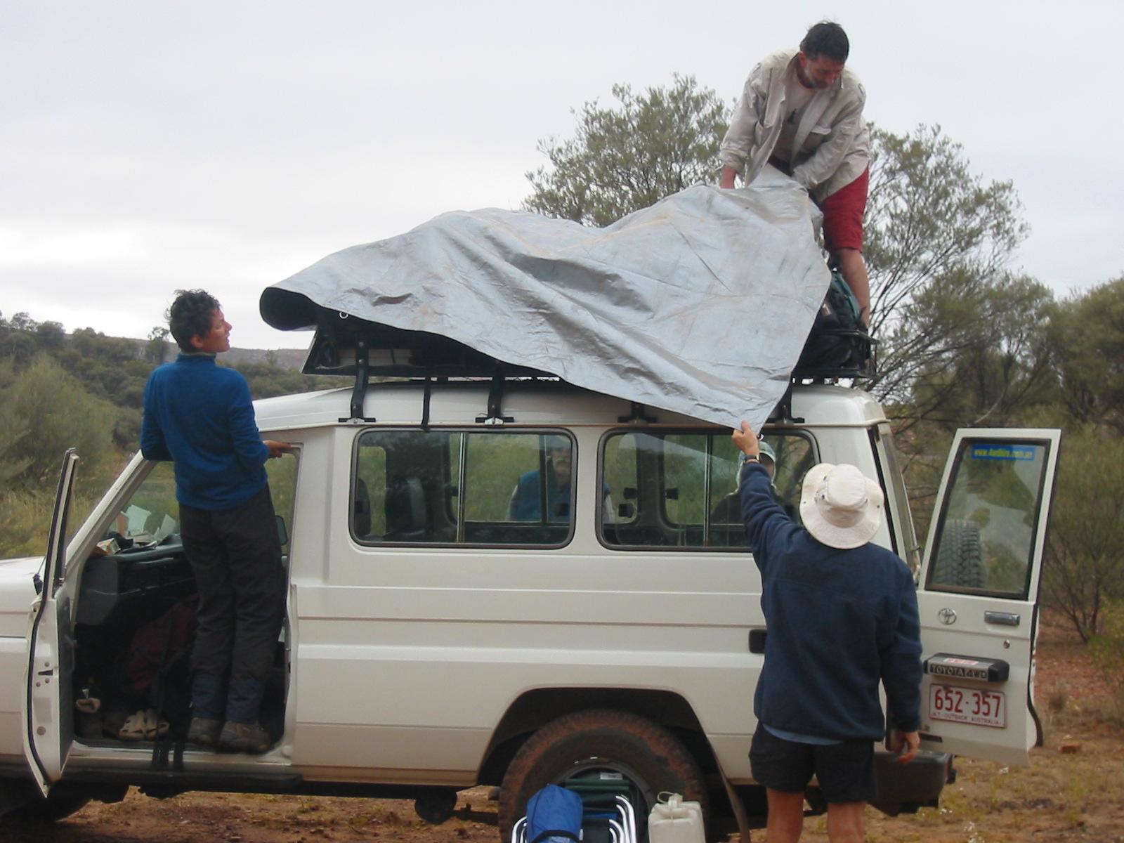
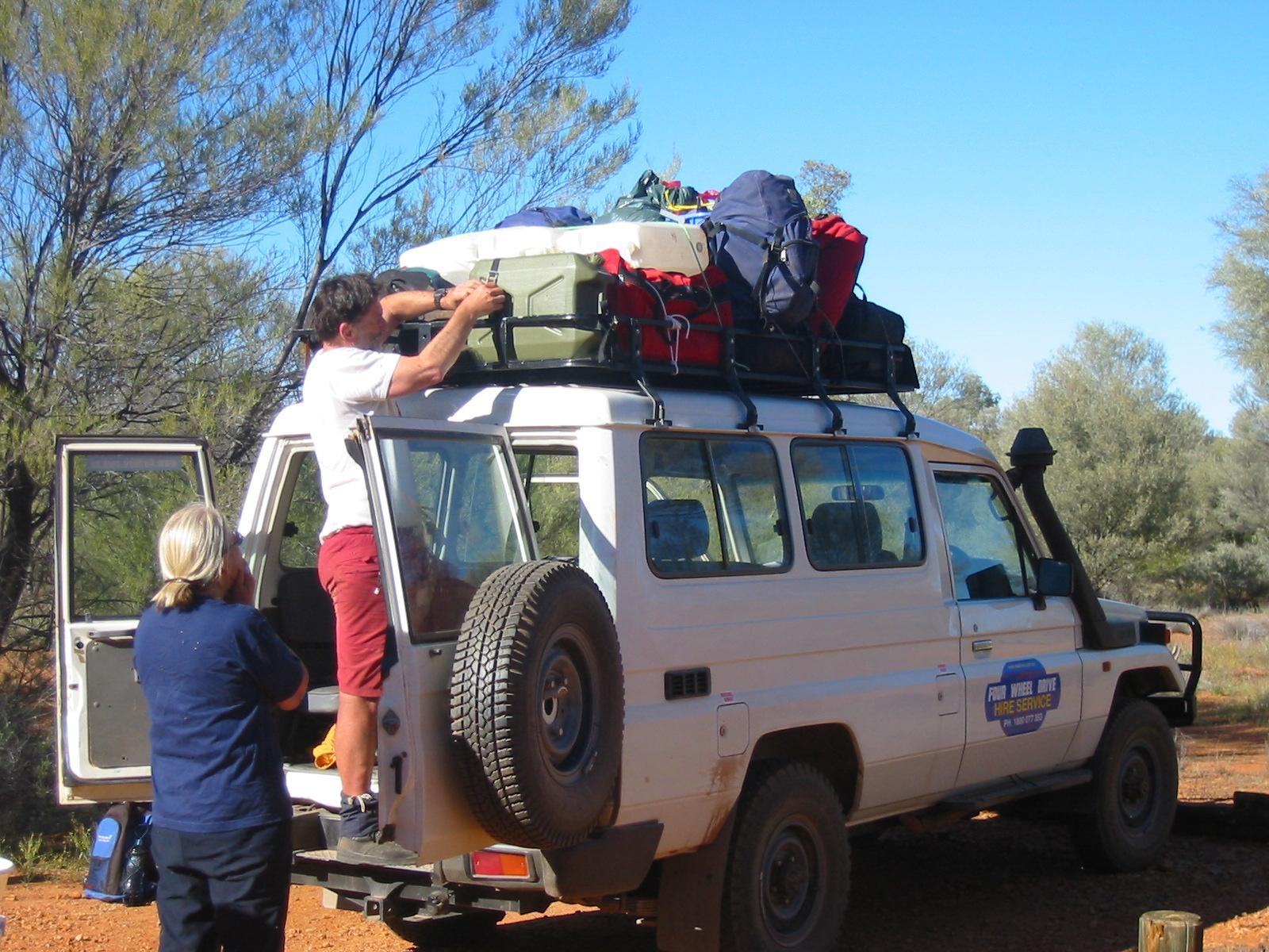
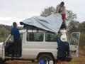
 Next morning, under close supervision, we sadly pack up the car for the
last time. Like on the drive here two days earlier, not only the
personal gear, but all the cooking gear, water tanks and etc. need
to go up on the roof to leave space inside for all of us. Placement is also
important, as some are getting off before others and need to be able to
access their packs.
Next morning, under close supervision, we sadly pack up the car for the
last time. Like on the drive here two days earlier, not only the
personal gear, but all the cooking gear, water tanks and etc. need
to go up on the roof to leave space inside for all of us. Placement is also
important, as some are getting off before others and need to be able to
access their packs.
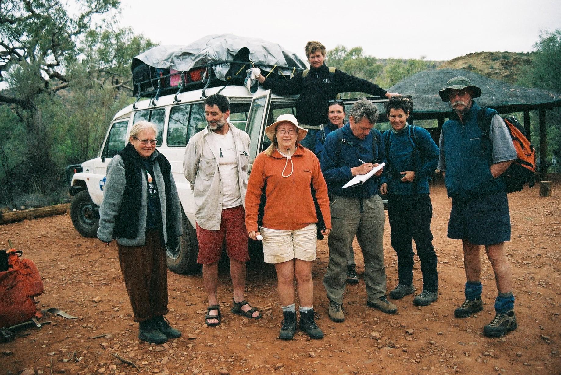
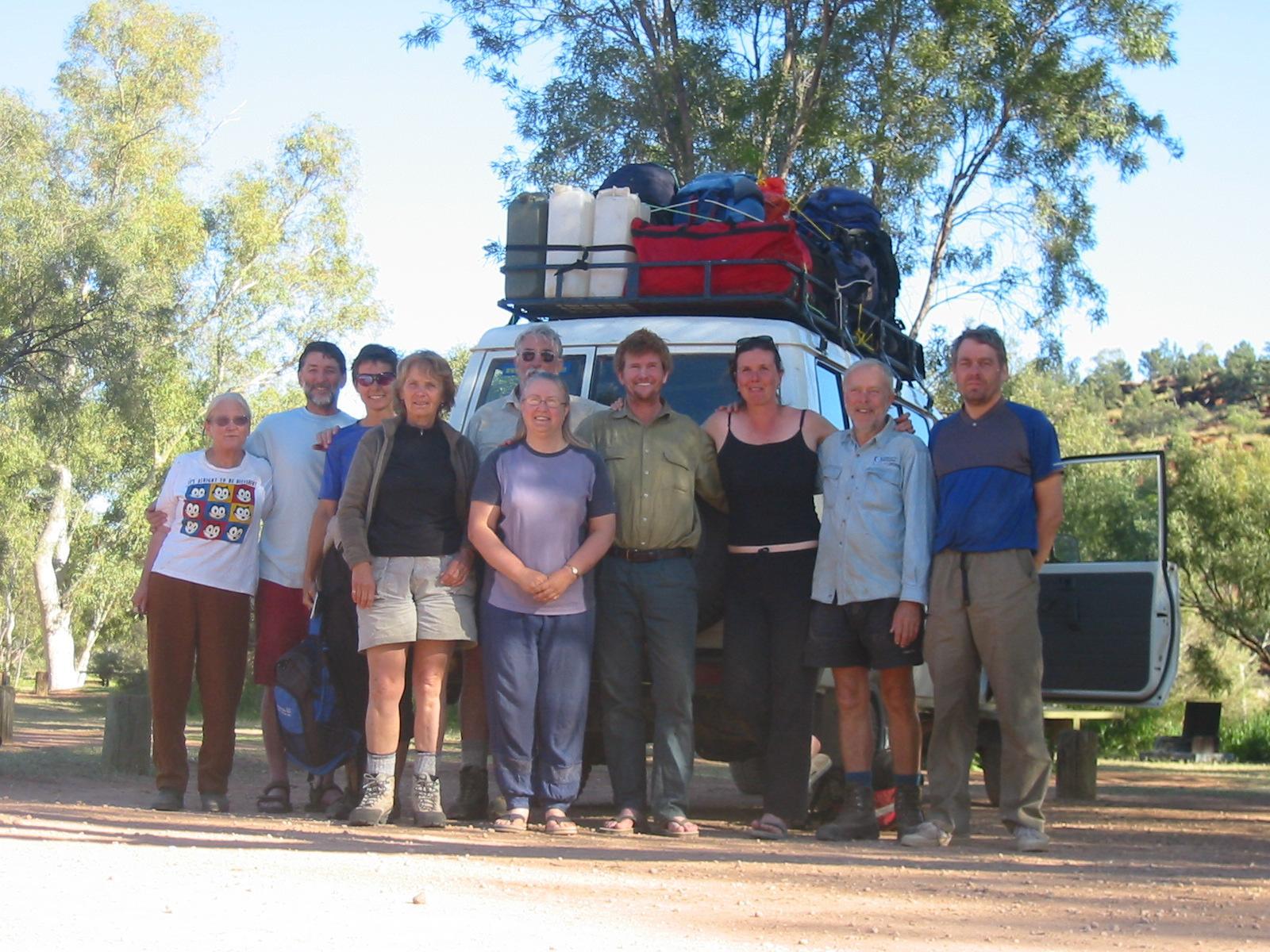
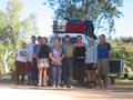
After a last group photo we start making our way back to Alice.
For almost two hours we drive along the ranges we just walked, giving us an
alternate impression of the distance covered by foot over the last two weeks.
Once in Alice we first drop off Anne, who isn't well, at her son's
place, before the party disperses: some being dropped off in the centre of
town before Trudy and Gernot are taken to the airport for their flight
back to Sydney. The rest of the mob later celebrates the end of a
beautiful trip over dinner.
 Penny dropped off eight of us: Steve, Bob, Jan, Mary&Ron, Karen, and
Gernot&Trudy. Everyone is equipped with light day packs containing
essentials like water and camera and luxuries like morning tea and
lunch. While we start our walk, Penny drives back to Alice to meet up
with Anne for shopping and packing of all the camping and cooking gear.
Penny dropped off eight of us: Steve, Bob, Jan, Mary&Ron, Karen, and
Gernot&Trudy. Everyone is equipped with light day packs containing
essentials like water and camera and luxuries like morning tea and
lunch. While we start our walk, Penny drives back to Alice to meet up
with Anne for shopping and packing of all the camping and cooking gear.